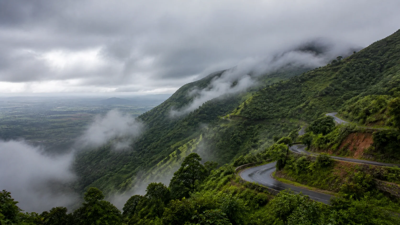
Yelagiri, Javadi foothills and the Ambur-Vaniyambadi corridor
Tirupathur District: History, Places and Travel Guide
Tirupathur district was created in 2019 from the former Vellore district. It includes Tirupathur town, the Jolarpet railway junction, Ambur and Vaniyambadi's leather and food associations, Yelagiri's inhabited hill landscape, Alangayam and Javadi-side forests. The public route uses the requested spelling `/tirupattur/`, while official page text follows the district administration's current English label, Tirupathur.On this page
District overview
Understanding Tirupathur district
The current district portal uses Tirupathur as the official English spelling and lists Tirupathur and Vaniyambadi revenue divisions, with Tirupathur, Natrampalli, Vaniyambadi and Ambur taluks.[tirupathurAbout]
The 2019 government order created Tirupathur alongside Ranipet when Vellore was trifurcated. Arcot is in Ranipet and Vellore Fort remains in Vellore.[velloreReorg]
Why it matters
Why explore Tirupathur?
Yelagiri is a lived hill landscape with villages, farms, roads and visitor facilities, not an empty resort plateau.
Ambur, Vaniyambadi and Jolarpet form an important rail, road, leather, market and food corridor.
Javadi-side forests, Kavalur scientific institutions and cave-painting contexts broaden the district beyond a hill weekend.
Land and water
Geography and regional identity
Tirupathur lies between Yelagiri Hills and the Javadi hill system, with interior plains and transport corridors linking Chennai and Bengaluru directions.
Yelagiri belongs to current Tirupathur district. Its ghat roads, lake and visitor areas have current operational conditions.[yelagiri8c]
The Javadi Hills extend beyond one district; only places verified within current Tirupathur geography should be included. Amirthi Zoological Park is in current Vellore, not Tirupathur.
Evidence and change
Historical overview
The district's landscape contains older settlement, cave-painting, temple and trade histories, but the administrative district itself dates from 2019.
Tirupathur's official historical material associates the area with Yelagiri and Javadi hill systems, sandalwood administration and changing regional rule.[tirupathurHistory]
Ambur and Vaniyambadi developed through trade, leather production, road and railway connections. Industrial success must be read with labour and environmental contexts.
Jolarpet's railway role and Kavalur's astronomy context represent modern infrastructure and science alongside older heritage.
Continue with Tamil Nadu history →Within the district
Cities, towns and local centres
These are district contexts, not newly created destination pages.Tirupathur
Administration, markets and hill-side routes orient the district.
Jolarpet
Long-distance rail movement and nearby Yelagiri access shape the centre.
Vaniyambadi
Industry, food and transport form a distinct urban identity.
Ambur
Leather work, corridor movement and culinary reputation require careful provenance.
Alangayam
A gateway to hill villages and forest-edge routes under current conditions.
Natrampalli
Agriculture and road connections broaden the district map.
Living and protected places
Temples and spiritual places
Tirupathur and corridor temple contexts
Living worship varies by town and requires current arrangements.
Yelagiri sacred landscapes
Village and hill worship should not be treated as public performance.
Multi-faith Ambur-Vaniyambadi heritage
Mosques, temples and institutions reflect trade and settlement histories.
Interpret carefully
Heritage and architecture
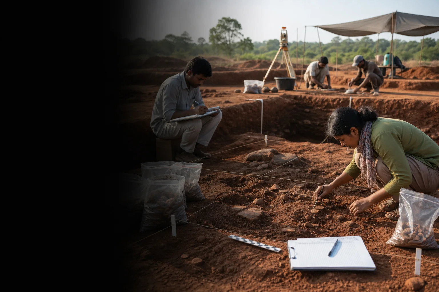
Arma Malai cave-painting context
Conservation-sensitive evidence requiring official access and archaeological interpretation.
Jolarpet railway heritage
Transport infrastructure reshaped regional movement and work.
Kavalur observatory context
A scientific institution with its own visitor and security rules.
Sandalwood administration history
A government and forest-management context, not permission to buy unverified wood.
Ambur-Vaniyambadi industrial towns
Labour, water and urban growth belong to modern heritage.
Living knowledge
Culture, food and regional products
Culture and festivals
Tamil, Telugu and Urdu-speaking communities, hill settlements, leather workers, railway communities, markets and religious institutions shape a plural district.
Malayali community identity in hill contexts should be represented respectfully and never reduced to a visitor spectacle.
Biryani reputation, leather work and hill tourism are visible identities, but none represents every district household.
Food and cuisine
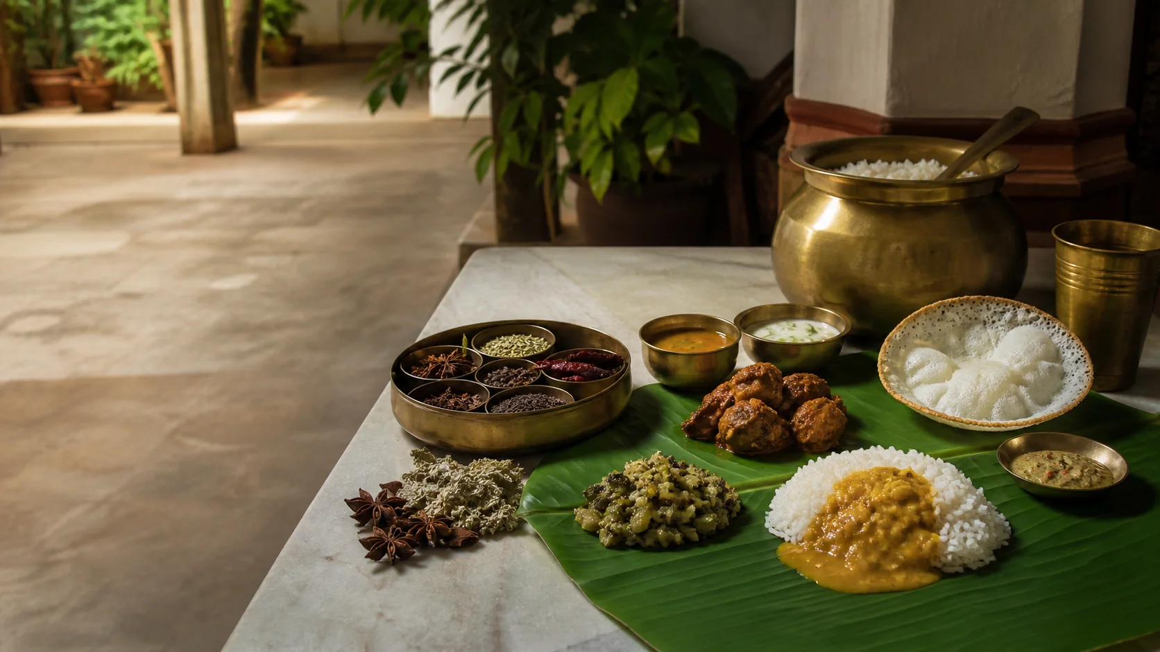
Ambur biryani is strongly associated with Ambur, within current Tirupathur district. Recipe, business lineage and quality claims vary and no shop is declared original or best.
Vaniyambadi and corridor-town food reflects Muslim, Tamil and regional trade histories alongside everyday vegetarian and non-vegetarian meals.
Yelagiri and Javadi-side produce requires grower-specific provenance; medicinal claims are not repeated.
Making and provenance
Regional products and crafts
Leather and leather goods are important in Ambur and Vaniyambadi, described without live export rankings or factory counts.
Sandalwood is regulated; a city nickname or historic depot does not authenticate retail material or permit collection from forests.
Agricultural, incense-related and forest-linked products need transparent sourcing and legal compliance.

Landscape first
Nature and wildlife
Yelagiri, Javadi-side forests, streams and seasonal falls require current road, weather and forest guidance.
Jalagamparai and other waterfall flow is never guaranteed; old photos and blogs cannot establish access.
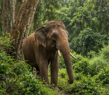
Forest produce, sandalwood and wildlife are protected or regulated. Do not collect, feed or pursue.[tnForest8c]
Work and change
Economy and livelihoods
Leather, rail and road transport, trade, agriculture, services, tourism and smaller manufacturing support different towns.
Industrial coverage must include worker safety, water and environmental management.
No current export value, production share, train operation or visitor count is asserted.
Build a coherent route
Places to explore in Tirupathur
Tirupathur town
Begin with markets, civic life and current geography.
Yelagiri
Plan a slow visit with current road and activity checks.
Jolarpet
Understand the junction's role in regional movement.
Ambur
Explore public markets and food with careful provenance.
Vaniyambadi
Include labour and urban context.
Kavalur and Javadi side
Confirm institutional and road access before departure.
Choose your pace
Things to do
Correct the district boundary
Keep Yelagiri and Ambur here, Arcot in Ranipet and Amirthi in Vellore.
Read a hill as a settlement
Look beyond viewpoints to farms, water and communities.
Taste without inventing origins
Ask about recipe and business history without declaring a winner.
Approach science and archaeology carefully
Use authorized institutional and conservation access.
Conditions, not promises
Best season and current checks
Hill rain, fog and road conditions differ from the hot plains and industrial corridor.
Waterfalls, lake activities and forest routes require current checks in every month.
This evergreen guide does not publish a forecast, road status, forest opening, train operation, festival date, crowd prediction or other live condition. Check responsible authorities close to travel.[imd8c]
Plan by days
Suggested duration
One day
Focus on Tirupathur-Jolarpet or Ambur-Vaniyambadi.
Two days
Use one corridor-town day and one slow Yelagiri day.
Three or more days
Add a confirmed Kavalur-Javadi-side route without combining every hill and town.
Regional access
How to reach
By rail
Jolarpet is a major junction; Ambur, Vaniyambadi and Tirupathur stations serve different routes. Verify trains.
By road
Roads connect Bengaluru, Chennai, Krishnagiri, Vellore and Ranipet.
By air
Confirm the practical regional airport and current onward transport.
Local movement
Getting around
Buses, autos and taxis serve corridor towns; hill and institution visits need preplanned transport and permissions.
Map links support orientation only. Confirm actual routes, last-mile transport, accessibility, parking and return options locally.
Place-name links
Map of Tirupathur district
No fabricated coordinates or heavy map embed are used.Map data is not embedded on this lightweight page. Open a place-name search in Google Maps for current roads, business details and directions.
Continue geographically
Nearby districts
Continue by subject
Related My Tamil Nadu guides
Practical planning
Save a district checklist
Saved only in this browser. No login or personal data is needed.
Questions
Frequently asked questions about Tirupathur
Is Tirupathur district the same as Tirupathur city?
No. Tirupathur town is headquarters; Ambur, Vaniyambadi, Jolarpet and Yelagiri are separate centres within the current district.
How many days are useful for Tirupathur?
Two days gives a focused introduction. Three or more days is better when hill, forest, industrial or distant town clusters are included.
Are opening hours, fares and current schedules listed?
No. Operational information changes and must be checked with the responsible district, temple, museum, forest or transport authority.
Can the whole district be covered in one day?
A district is an administrative area, not one attraction. Use a single day for one compact cluster.
What should be checked before travel?
Check Yelagiri and Javadi-side roads, waterfall flow, forest access, industrial visitor permission, heat, rain and current transport.
Are the images documentary photographs?
No. They are project-created editorial visuals and are labelled as non-documentary.
How does the map work?
It opens place-name searches in Google Maps without publishing guessed coordinates or loading a heavy embedded map.
Editorial trust
Sources and further reading
Major factual claims were checked against authoritative references. Last reviewed 9 August 2026.- About Tirupathur districtTirupathur District Administration · Official district profileReviewed 9 August 2026
- History of Tirupathur districtTirupathur District Administration · Official district historyReviewed 9 August 2026
- Places of interestTirupathur District Administration · Official district visitor recordReviewed 9 August 2026
- Yelagiri HillsTirupathur District Administration · Official district visitor recordReviewed 9 August 2026
- Creation of Tirupathur and Ranipet districts, G.O. (Ms) No. 430Government of Tamil Nadu · Government orderReviewed 9 August 2026
- Archaeology and epigraphy resourcesTamil Nadu State Department of Archaeology · State archaeology authorityReviewed 9 August 2026
- Forests, protected areas and visitor contextTamil Nadu Forest Department · State governmentReviewed 9 August 2026
- National Train Enquiry SystemIndian Railways · Official transportReviewed 9 August 2026
- Regional Meteorological Centre ChennaiIndia Meteorological Department · Official weather authorityReviewed 9 August 2026