
Fort city, Palar landscape and a reorganized northern district
Vellore District: History, Places and Travel Guide
Vellore district is centred on Vellore Fort, the Palar basin, Katpadi's rail connections, Gudiyatham, Pernambut, Anaicut and a major medical-education city. In 2019 the former larger Vellore district was trifurcated: Arcot and Sholinghur now belong to Ranipet, while Ambur, Vaniyambadi, Jolarpet and Yelagiri belong to Tirupathur.On this page
District overview
Understanding Vellore district
Official revenue records list the current Vellore, Katpadi, Anaicut, Gudiyatham, Pernambut and K.V. Kuppam taluks.[velloreRevenue]
The 2019 government order created Ranipet and Tirupathur from the former district. Historical North Arcot or undivided Vellore references must be reassigned to current geography.[velloreReorg]
Why it matters
Why explore Vellore?
Vellore Fort is a layered military and civic complex containing protected architecture and living places of worship.
The 1806 Vellore uprising is an essential episode of military resistance and colonial history, but it should not be simplified into a single-cause or fully formed later nationalist movement.
Medical, educational, rail and civic institutions make Vellore a living regional city rather than only a fort stop.
Land and water
Geography and regional identity
The current district occupies the Palar basin and adjoining rocky hill and valley country toward Andhra Pradesh.
The Palar is seasonally variable; a riverbed image or old account cannot establish present flow or public access.
Amirthi and other hill-edge contexts require current forest, park and road checks. Melpadi and Vallimalai are within current Vellore revenue geography.[velloreRevenue][vellorePlaces]
Evidence and change
Historical overview
Vellore Fort is generally associated with Vijayanagara-period Nayaka construction and later control by several regional and colonial powers. Individual buildings need their own chronology.[velloreAbout][velloreAsi]
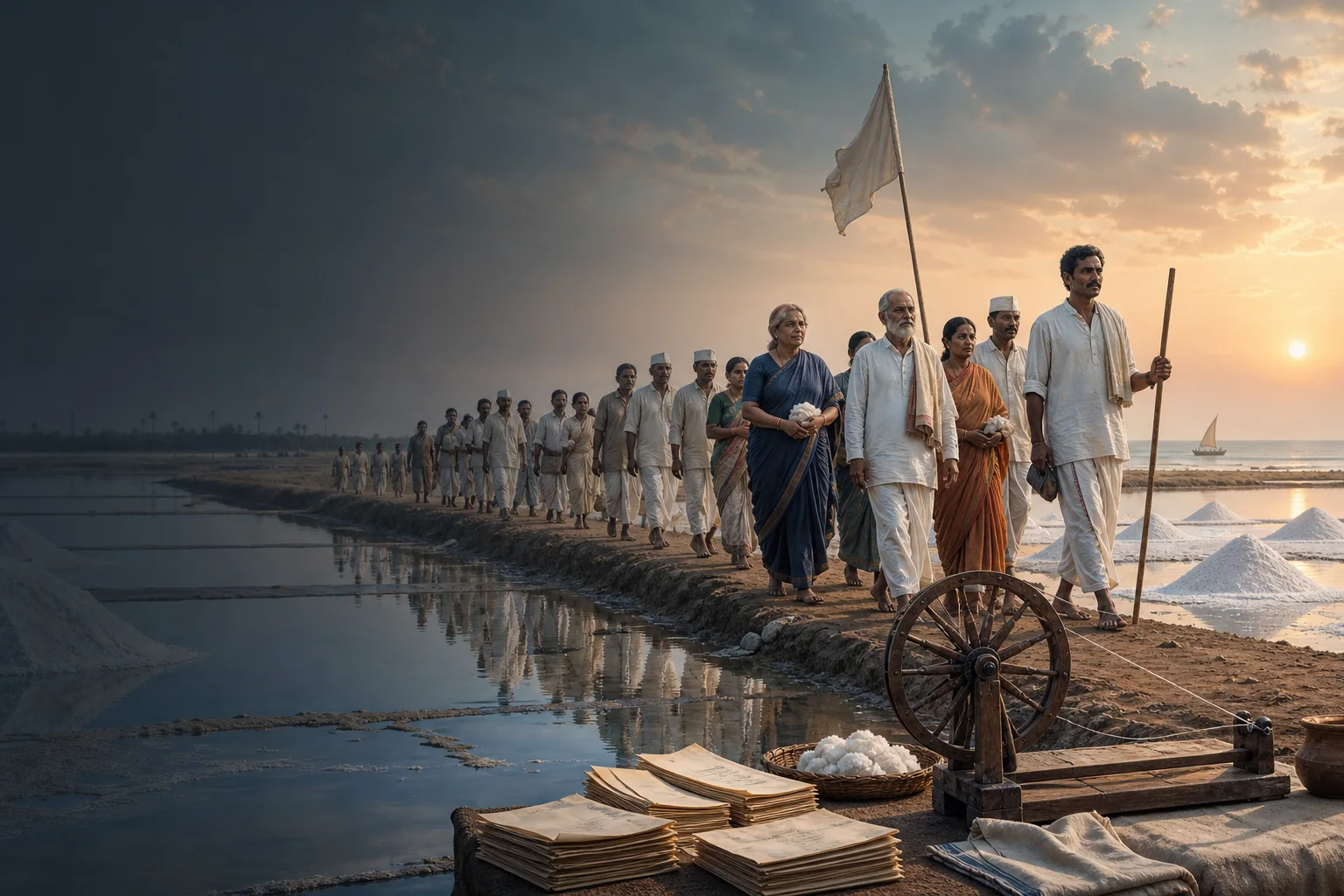
The fort held members of Tipu Sultan's family after the fall of Srirangapatna and became the setting of the 1806 uprising by Indian soldiers. Uniform regulations, religious concerns, military grievances and wider tensions require nuanced treatment.
The fort also contains Jalakantesvara Temple, a mosque and a church, making it a layered sacred and institutional landscape rather than one monument.
After independence, medicine, education, transport and administration became central to Vellore's regional role. The 2019 trifurcation redefined the district again.[velloreReorg]
Continue with Tamil Nadu history →Within the district
Cities, towns and local centres
These are district contexts, not newly created destination pages.Vellore
Fort, hospitals, colleges, markets and civic institutions define the city.
Katpadi
A major junction and urban extension with its own movement patterns.
Gudiyatham
Markets, manufacturing and Andhra-facing routes distinguish the town.
Pernambut
Agriculture, trade and hill-edge geography shape the west.
Anaicut
Palar-side and Amirthi-facing routes require condition checks.
K.V. Kuppam
Its current administrative place matters after trifurcation.
Living and protected places
Temples and spiritual places
Jalakantesvara Temple, Vellore Fort
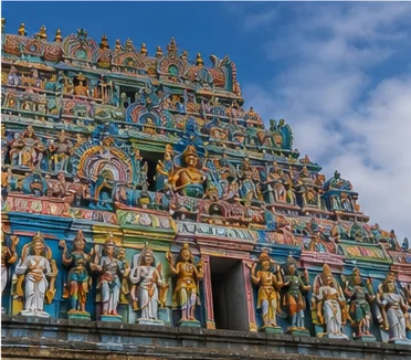
A living Vijayanagara-style temple within a protected fort complex.
Margabandeeswarar Temple, Virinjipuram
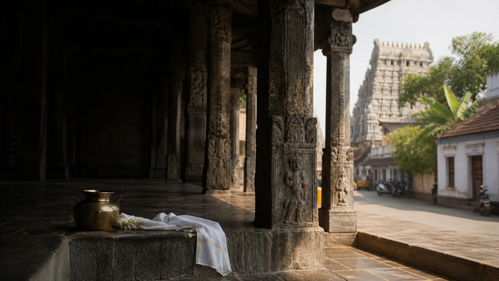
A living sacred and architectural site with current worship arrangements.
Vallimalai Murugan and Jain heritage
Living temple and protected Jain evidence should be interpreted separately.
Melpadi temples
Somanatha and Arinjaya Choleeswaram contexts are in current Vellore district.
Interpret carefully
Heritage and architecture
Vellore Fort
Military architecture, moat, worship spaces, museum and prison histories form several layers.
Government Museum
Collections connect prehistory, sculpture, the fort and former North Arcot geography.
Melpadi protected monuments
Chola memorial and temple contexts require inscription-led interpretation.
Muthu Mandapam context
The memory of Sri Vikrama Rajasinha connects Vellore to Sri Lankan and colonial histories.
Vellore Clock Tower and civic fabric
Military service and twentieth-century urban history broaden the district story.
Living knowledge
Culture, food and regional products
Culture and festivals
Vellore's culture includes Tamil and Telugu border connections, military memory, educational and medical institutions, markets, worship and rural performance traditions.
The fort uprising is commemorated within both local and national histories; careful interpretation preserves soldiers' specific circumstances.
Institutional campuses and hospitals are working environments with privacy and visitor rules.
Food and cuisine
Food reflects northern Tamil, Telugu-border, Muslim, institutional and migrant influences across city and rural settings.
Ambur biryani belongs to current Tirupathur district, not current Vellore, despite older undivided-district associations.
No restaurant or dish is ranked as original or best.
Making and provenance
Regional products and crafts
Agriculture, leather-related and other manufacturing, handloom, services, healthcare and education appear in different parts of the current district.
Leather and industrial work require environmental, labour and safety context; factories are not casual visitor sites.
No live export, patient, student or output ranking is stated.
Landscape first
Nature and wildlife
Amirthi and hill-edge areas contain managed visitor and forest contexts; current operation and access must come from responsible authorities.[vellorePlaces][tnForest8c]
Seasonal waterfalls and Palar flow are never guaranteed.
Zoo, park, forest and wildlife experiences should not be combined into unsupported claims about free-ranging sightings.
Work and change
Economy and livelihoods
Healthcare, education, administration, transport, trade, agriculture, leather-related activity, small manufacturing and services shape current Vellore.
Katpadi rail and Vellore institutions make the city regionally connected beyond district boundaries.
No current institutional ranking, export figure or visitor number is published.
Build a coherent route
Places to explore in Vellore
Vellore Fort
Allow time for architecture, museum and worship spaces.
Vellore city
Read markets, medicine, education and civic history.
Virinjipuram
Verify living worship arrangements.
Vallimalai
Separate protected evidence from devotional tradition.
Melpadi
Use current Vellore geography, not older Walajah labels.
Amirthi context
Confirm park, road and seasonal conditions.
Choose your pace
Things to do
Read the fort in layers
Distinguish Nayaka, sultanate, Maratha, Mysore, colonial and modern uses.
Study the 1806 uprising carefully
Avoid one-cause or anachronistic explanations.
Correct the old boundary
Keep Arcot, Ambur and Yelagiri in their current districts.
Use museums as evidence
Let collections and maps guide the route.
Conditions, not promises
Best season and current checks
Interior heat and seasonal river conditions affect outdoor exploration.
Museum, fort, park and institutional access require current confirmation.
This evergreen guide does not publish a forecast, road status, forest opening, train operation, festival date, crowd prediction or other live condition. Check responsible authorities close to travel.[imd8c]
Plan by days
Suggested duration
One day
Focus on Vellore Fort, museum and city.
Two days
Add Virinjipuram, Vallimalai or Melpadi as one coherent second-day route.
Three or more days
Include Gudiyatham or a condition-checked nature context without crossing into neighboring districts by accident.
Regional access
How to reach
By rail
Katpadi is the main rail junction; verify current trains and city connections.
By road
Roads connect Chennai, Bengaluru, Tirupathur, Ranipet and Andhra Pradesh.
By air
Confirm the practical regional airport and onward road or rail connection.
Local movement
Getting around
Autos, buses and taxis serve Vellore-Katpadi; outer heritage sites require route planning and current access.
Map links support orientation only. Confirm actual routes, last-mile transport, accessibility, parking and return options locally.
Place-name links
Map of Vellore district
No fabricated coordinates or heavy map embed are used.Map data is not embedded on this lightweight page. Open a place-name search in Google Maps for current roads, business details and directions.
Continue geographically
Nearby districts
Continue by subject
Related My Tamil Nadu guides
Practical planning
Save a district checklist
Saved only in this browser. No login or personal data is needed.
Questions
Frequently asked questions about Vellore
Is Vellore district the same as Vellore city?
No. Vellore city is the headquarters of the current district; Arcot and Sholinghur are in Ranipet, while Ambur and Yelagiri are in Tirupathur.
How many days are useful for Vellore?
Two days gives a focused introduction. Three or more days is better when hill, forest, industrial or distant town clusters are included.
Are opening hours, fares and current schedules listed?
No. Operational information changes and must be checked with the responsible district, temple, museum, forest or transport authority.
Can the whole district be covered in one day?
A district is an administrative area, not one attraction. Use a single day for one compact cluster.
What should be checked before travel?
Check fort, museum and temple access, seasonal river and park conditions, heat, hill roads, institutional visitor rules and transport.
Are the images documentary photographs?
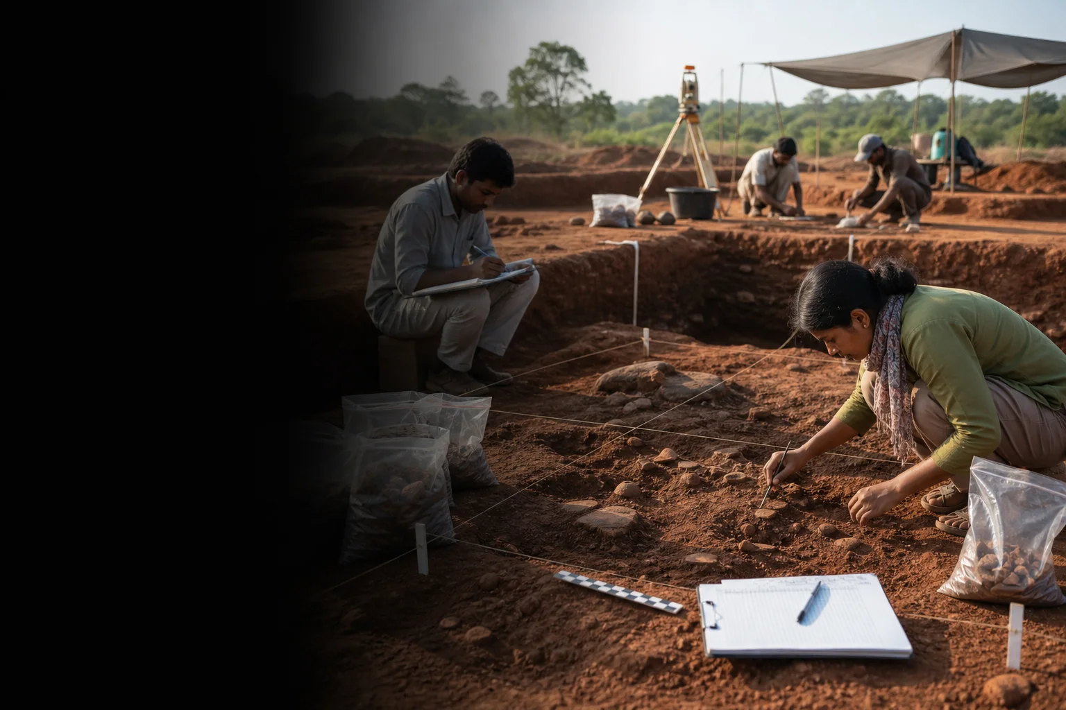
No. They are project-created editorial visuals and are labelled as non-documentary.
How does the map work?
It opens place-name searches in Google Maps without publishing guessed coordinates or loading a heavy embedded map.
Editorial trust
Sources and further reading
Major factual claims were checked against authoritative references. Last reviewed 9 August 2026.- About Vellore districtVellore District Administration · Official district profileReviewed 9 August 2026
- Revenue administrationVellore District Administration · Official administrative recordReviewed 9 August 2026
- ASI protected monuments in Vellore districtVellore District Administration · Official district heritage recordReviewed 9 August 2026
- Government Museum, VelloreVellore District Administration · Official museum recordReviewed 9 August 2026
- Places of interestVellore District Administration · Official district visitor recordReviewed 9 August 2026
- Creation of Tirupathur and Ranipet districts, G.O. (Ms) No. 430Government of Tamil Nadu · Government orderReviewed 9 August 2026
- Archaeology and epigraphy resourcesTamil Nadu State Department of Archaeology · State archaeology authorityReviewed 9 August 2026
- National Train Enquiry SystemIndian Railways · Official transportReviewed 9 August 2026
- Regional Meteorological Centre ChennaiIndia Meteorological Department · Official weather authorityReviewed 9 August 2026