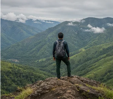
Granite hills, Baramahal forts, farms and the Hosur corridor
Krishnagiri District: History, Places and Travel Guide
Krishnagiri district occupies Tamil Nadu's northwestern border zone, where rocky hills, old fort routes, reservoirs, farming areas, forest edges and the fast-growing Hosur corridor meet Karnataka and Andhra Pradesh. It was carved from Dharmapuri in 2004; Hogenakkal remains in Dharmapuri, while Hosur, Denkanikottai, Rayakottai and Thally belong here.On this page
District overview
Understanding Krishnagiri district
Current Krishnagiri includes Krishnagiri, Hosur, Denkanikottai and other northern taluk contexts. Official revenue records confirm Hosur and Rayakottai within the district.[krishnagiriAbout][krishnagiriRevenue]
The district's 2004 formation means older Dharmapuri references may describe sites now assigned to Krishnagiri.
Why it matters
Why explore Krishnagiri?
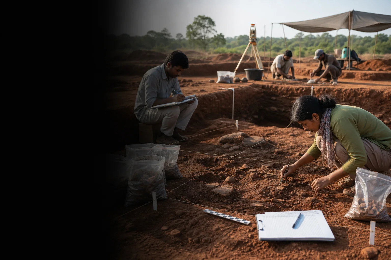
Rock art, tools, burial evidence, hero stones and museum collections reveal a long material record that should be interpreted through archaeology rather than sweeping civilizational labels.[krishnagiriMuseum]
The Baramahal fort landscape connects rocky topography to Mysore, Company and earlier strategic histories.
Hosur's manufacturing and Bengaluru-facing urban growth introduce a contemporary border economy distinct from Krishnagiri town and rural areas.
Land and water
Geography and regional identity
Rocky hills and upland valleys characterize much of the district, with the Thenpennai and reservoirs supporting farms and towns.
The western and northern edges connect to Karnataka and Andhra Pradesh; language, trade and commuting cross state lines without erasing Tamil Nadu administration.
Thally, Denkanikottai and forest-edge tracts have different rain and access conditions from Krishnagiri's drier central roads.
Evidence and change
Historical overview
Official district history records prehistoric and megalithic material, hero stones and several fort sites. Claims should follow museum catalogues and field research.[krishnagiriHistory][krishnagiriMuseum]
The region passed through Ganga, Nolamba, Chola, Hoysala, Vijayanagara, Mysore and Company-era contexts.
Krishnagiri, Rayakottai, Jagadevi and other forts formed part of a wider Baramahal strategic landscape. Their construction and reuse occurred in phases.
Krishnagiri became a separate district in 2004, while Hosur later expanded as a major manufacturing and urban centre.
Continue with Tamil Nadu history →Within the district
Cities, towns and local centres
These are district contexts, not newly created destination pages.Krishnagiri
Fort hill, museum, markets and administration anchor the centre.
Hosur
Manufacturing, migration and Bengaluru-region connections define a distinct urban system.
Denkanikottai
Routes toward Thally and reserve forests require current conditions.
Bargur
Farms, granite hills and highway movement shape the town.
Uthangarai
Archaeology, agriculture and routes toward Tiruvannamalai form a separate cluster.
Rayakottai
A strategic hill-fort context requiring confirmed access.
Living and protected places
Temples and spiritual places
Chandra Choodeswarar Temple, Hosur
A living hill temple with inscriptional context and current worship arrangements.
Kattuveera Anjaneya context
A living sacred site in Krishnagiri; avoid repeating unsupported age claims.
Jain and multi-faith contexts
District religious history extends beyond a single temple tradition.
Interpret carefully
Heritage and architecture
Krishnagiri Museum
Tools, burials, hero stones, sculpture and fort records ground district history.
Krishnagiri Fort landscape
Strategic hill fabric should be read through protected evidence.
Rayakottai and Baramahal forts
A regional network, not one monument or ruler.
Rajaji Memorial, Thorapalli
Modern political biography near Hosur broadens the district story.
Reservoir landscapes
KRP and Kelavarapalli are water infrastructure with current access rules.
Living knowledge
Culture, food and regional products
Culture and festivals
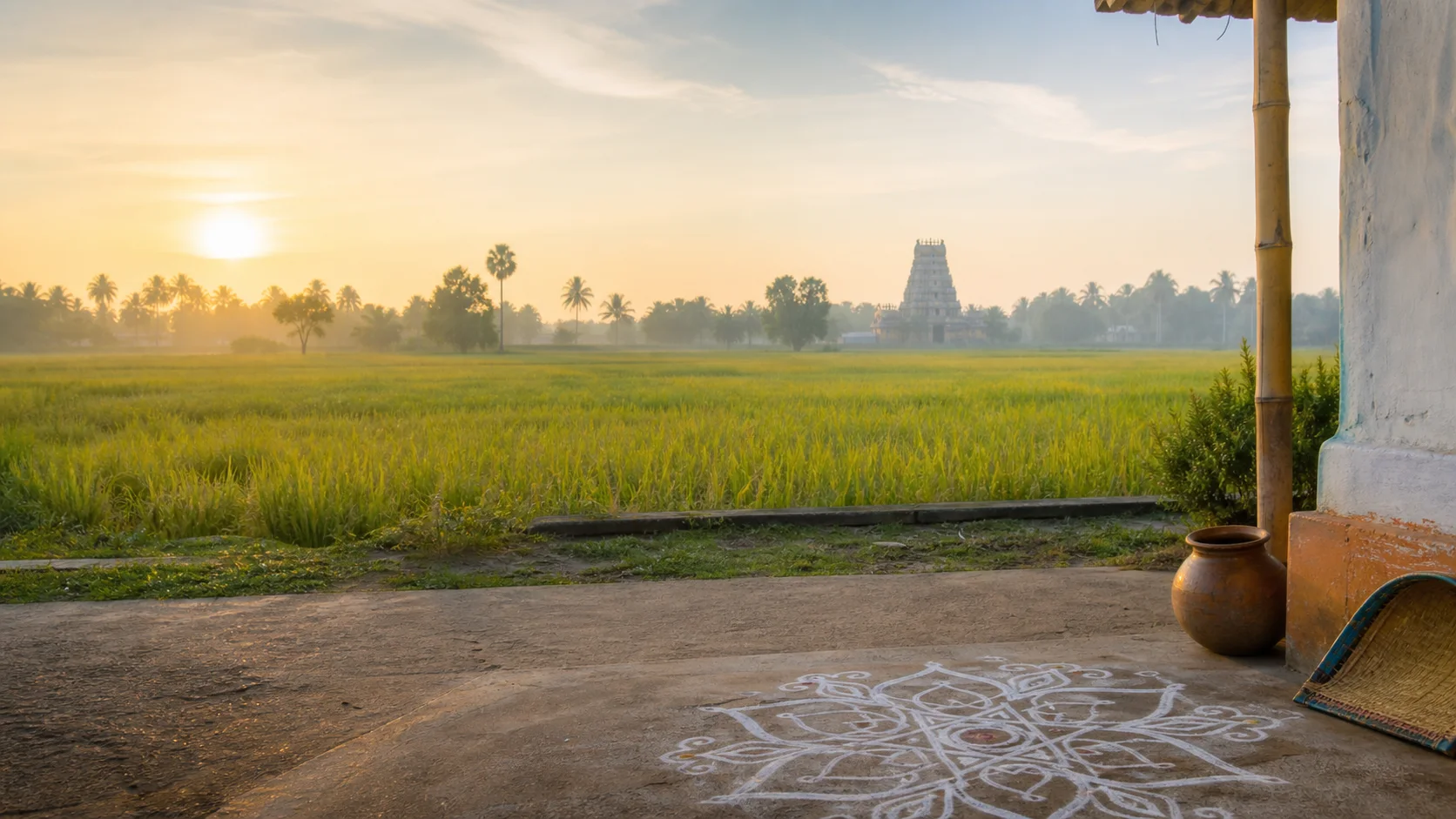
Tamil, Kannada and Telugu connections, farm and market routines, industrial migration, temple traditions and memorial practices make the district culturally plural.
Hero stones are historical objects, not proof of one timeless warrior identity.
Industrial areas and rural communities require consent; public roads do not grant access to factories, farms or homes.
Food and cuisine
Mango cultivation is strongly associated with the district, but the guide does not call Krishnagiri a capital or publish production rankings.
Food reflects dryland crops, horticulture, livestock and border-region movement between Tamil, Kannada and Telugu kitchens.
Fruit origin, variety and farm claims should come from actual growers or markets.
Making and provenance
Regional products and crafts
Mangoes, flowers, horticultural produce, granite and manufactured goods are discussed at a high level.
Mining and industrial sites are not visitor attractions and require safety and environmental regulation.
No GI, output or export claim is made without an official record.[gi8c]

Landscape first
Nature and wildlife
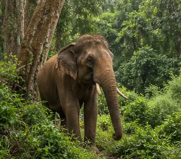
Aiyur, Thally and Denkanikottai-side forests form sensitive border landscapes under forest authority.
Reservoir parks and lakes have current water, maintenance and access conditions; no boating or viewing status is promised.[krishnagiriPlaces][tnForest8c]
Wildlife should never be approached, fed or chased for photographs.
Work and change
Economy and livelihoods
Agriculture, horticulture, sericulture, manufacturing, logistics, mining-related activity, services and cross-border commuting shape different areas.
Hosur is a major industrial centre, described without live investment, export or employment totals.
Water, land, labour and urban growth are part of the economic story, not side notes.
Build a coherent route
Places to explore in Krishnagiri
Krishnagiri town and museum
Use collections before approaching fort narratives.
Krishnagiri fort context
Confirm legal access and prepare for exposed terrain.
Hosur
Explore civic and public spaces, not uninvited factories.
Rayakottai
Treat as a separate heritage route.
Denkanikottai and Thally
Check road and forest conditions.
KRP and Kelavarapalli contexts
Use only currently permitted public areas.
Choose your pace
Things to do
Start at the museum
Let objects correct broad historical assumptions.
Follow a fort network
Compare Krishnagiri and Rayakottai without forcing one attribution.
Read Hosur as a city
Include labour, migration, housing and border connections.
Visit farms only by invitation
Respect active work and provenance.
Conditions, not promises
Best season and current checks
Central plains can be hot while western hills receive different rain and mist.
Reservoir, forest and fort conditions need current checks in every season.
This evergreen guide does not publish a forecast, road status, forest opening, train operation, festival date, crowd prediction or other live condition. Check responsible authorities close to travel.[imd8c]
Plan by days
Suggested duration
One day
Choose Krishnagiri museum-fort context or Hosur.
Two days
Use one Krishnagiri day and one Hosur-Denkanikottai-side day.
Three or more days
Add Rayakottai or an authorized nature route without crossing every corner.
Regional access
How to reach
By rail
Hosur and other stations serve different corridors; Krishnagiri town may require road connections. Verify service.
By road
Major roads connect Bengaluru, Chennai, Salem and Dharmapuri-side routes.
By air
Confirm the practical current airport and cross-border ground transport.
Local movement
Getting around
Buses, autos and taxis serve towns; dispersed forts and reservoirs need planned transport and confirmed legal access.
Map links support orientation only. Confirm actual routes, last-mile transport, accessibility, parking and return options locally.
Place-name links
Map of Krishnagiri district
No fabricated coordinates or heavy map embed are used.Map data is not embedded on this lightweight page. Open a place-name search in Google Maps for current roads, business details and directions.
Continue geographically
Nearby districts
Continue by subject
Related My Tamil Nadu guides
Practical planning
Save a district checklist
Saved only in this browser. No login or personal data is needed.
Questions
Frequently asked questions about Krishnagiri
Is Krishnagiri district the same as Krishnagiri city?
No. Krishnagiri town is the headquarters, while Hosur is a separate major corporation and industrial centre within the same district.
How many days are useful for Krishnagiri?
Two days gives a focused introduction. Three or more days is better when hill, forest, industrial or distant town clusters are included.
Are opening hours, fares and current schedules listed?
No. Operational information changes and must be checked with the responsible district, temple, museum, forest or transport authority.
Can the whole district be covered in one day?
A district is an administrative area, not one attraction. Use a single day for one compact cluster.
What should be checked before travel?
Check fort and forest access, reservoir parks, heat and rain, interstate roads, industrial visitor permission and current transport.
Are the images documentary photographs?
No. They are project-created editorial visuals and are labelled as non-documentary.
How does the map work?
It opens place-name searches in Google Maps without publishing guessed coordinates or loading a heavy embedded map.
Editorial trust
Sources and further reading
Major factual claims were checked against authoritative references. Last reviewed 9 August 2026.- Krishnagiri district profileKrishnagiri District Administration · Official district profileReviewed 9 August 2026
- History of Krishnagiri districtKrishnagiri District Administration · Official district historyReviewed 9 August 2026
- Tourist placesKrishnagiri District Administration · Official district visitor recordReviewed 9 August 2026
- Krishnagiri MuseumKrishnagiri District Administration · Official museum recordReviewed 9 August 2026
- Revenue administrationKrishnagiri District Administration · Official administrative recordReviewed 9 August 2026
- Archaeology and epigraphy resourcesTamil Nadu State Department of Archaeology · State archaeology authorityReviewed 9 August 2026
- Forests, protected areas and visitor contextTamil Nadu Forest Department · State governmentReviewed 9 August 2026
- National Train Enquiry SystemIndian Railways · Official transportReviewed 9 August 2026
- Regional Meteorological Centre ChennaiIndia Meteorological Department · Official weather authorityReviewed 9 August 2026