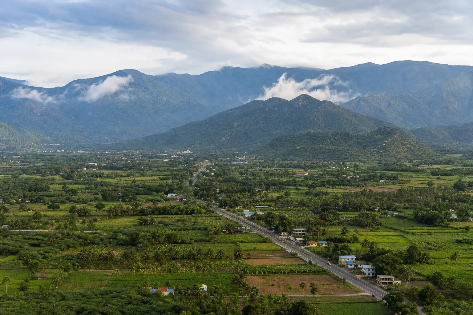
Western Ghats valleys, market towns and protected highlands
Theni District: History, Places and Travel Guide
Theni district is a southwestern valley-and-mountain landscape where the Western Ghats shape rain, rivers, agriculture, passes and settlement. Theni-Allinagaram is the headquarters, while Periyakulam, Bodinayakanur, Cumbum and Uthamapalayam anchor different valley routes; Meghamalai belongs to a protected forest context, not an unrestricted hill resort.On this page
District overview
Understanding Theni district
Theni district was formed from the former Madurai district in the 1990s. Official material identifies Theni as headquarters and lists major waterfall, dam and temple contexts.[theniAbout]
Older travel writing may use Madurai district for present Theni locations; the current boundary takes priority.
Why it matters
Why explore Theni?
The district makes the relationship between mountain catchments, valley agriculture, market towns and downstream water systems especially visible.
Meghamalai forms part of the Srivilliputhur Megamalai Tiger Reserve landscape and must be discussed through protection and current access, not only scenery.[smtr]
Passes and trade connect Theni with Kerala while preserving distinct local histories.
Land and water
Geography and regional identity
Western Ghats ridges define the west, with Cumbum valley and other cultivated basins below.
Rivers and streams contribute to the Vaigai system; dams and channels are infrastructure with controlled access.
Waterfalls such as Suruli or Chinna Suruli depend on flow and official safety decisions. Online images do not establish current conditions.[theniPlaces][theniMeghamalai]
Evidence and change
Historical overview
The district's settlements developed through agrarian, market, pass and administrative histories that crossed older Madurai-region boundaries.
Palayam and regional-rule histories need site-specific evidence rather than broad labels.
Plantation and road development changed parts of the highlands, while forest protection now shapes access.
The modern district formation is itself important: current Theni places should not be filed under Madurai simply because older gazetteers did so.[theniAbout]
Continue with Tamil Nadu history →Within the district
Cities, towns and local centres
These are district contexts, not newly created destination pages.Theni-Allinagaram
Market, transport and civic functions anchor the plains.
Periyakulam
A gateway for Kumbakarai and nearby agricultural landscapes.
Bodinayakanur
Pass-side trade and plantation-linked commerce shape its identity.
Cumbum
Cultivated landscapes and western routes distinguish the lower valley.
Uthamapalayam
Administration, markets and nearby sacred or waterfall routes converge here.
Living and protected places
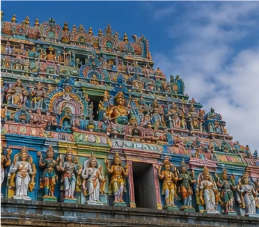
Temples and spiritual places
Veerapandi Gowmariamman context
A living temple and festival landscape whose current arrangements require confirmation.
Kuchanur temple context
A living pilgrimage centre within the Uthamapalayam side of the district.
Kannagi temple border context
Access and annual observance involve interstate, forest and administrative conditions.
Interpret carefully
Heritage and architecture
Valley settlement systems
Markets, channels and farms show the district's working history.
Pass routes
Movement toward Kerala shaped commerce without making the district culturally uniform.
Dam and irrigation landscapes
Infrastructure should be interpreted from permitted areas.
Highland plantation history
Plantation scenery must be read alongside labour and ecological change.
Living knowledge
Culture, food and regional products
Culture and festivals
Market towns, temple observances, agrarian routines and Tamil-Kerala border movement shape district culture.
Festival routes can involve crowds, temporary controls and forest-border rules.
Plantation and farm labour belong in cultural interpretation, not only scenic imagery.
Food and cuisine
Valley agriculture supports varied produce and market food, while household cooking reflects southern and western-border connections.
Freshness, organic status and farm origin are not assumed from a roadside label.
Seasonal produce and prices require current market information.
Making and provenance
Regional products and crafts
Agricultural and plantation products are central to the district economy, but origin claims should identify the actual growing area and producer.
No GI is claimed without a matching official registration.[gi8b]
Responsible farm visits require invitation or an established visitor programme.
Landscape first
Nature and wildlife
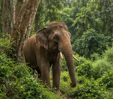
The Srivilliputhur Megamalai Tiger Reserve includes highland habitat associated with Theni. Forest entry and roads require current authorization from the responsible authority.[smtr]
Wildlife sightings are never promised and visitors should not seek animals with food, calls or off-road driving.
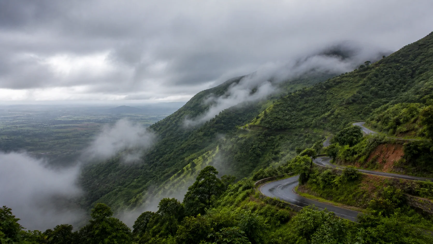
Waterfall flow, fog, landslide risk and road condition can change quickly.
Work and change
Economy and livelihoods
Agriculture, produce trade, plantation-linked activity, services and transport shape the district.
Valley towns perform different market roles; no current output ranking is published.
Protected forests and downstream water security are part of economic understanding, not separate from it.
Build a coherent route
Places to explore in Theni
Theni-Allinagaram
Begin with the district's practical urban centre.
Cumbum valley
Use public roads and respect farm boundaries.
Bodinayakanur
Read commerce and mountain geography together.
Periyakulam
Pair town context with one condition-checked nature stop.
Meghamalai
Travel only under current forest and road guidance.
Suruli context
Confirm flow and closure before departure.
Choose your pace
Things to do
Read a valley economy
Connect farms, channels, markets and mountain catchments.
Plan a protected-area visit responsibly
Accept closures and use authorized routes only.
Compare market towns
See why Theni, Bodi and Cumbum are not interchangeable.
Treat water as infrastructure
Look beyond scenic falls to rivers, dams and downstream use.
Conditions, not promises
Best season and current checks
Rain can improve green landscapes while making waterfall and hill-road access less predictable.
Plains heat and highland cloud can occur within the same itinerary.
This evergreen guide does not publish a forecast, waterfall-flow status, sea condition, forest opening, festival date or crowd prediction. Check the linked authorities close to travel.[imd8b]
Plan by days
Suggested duration
One day
Choose Theni and one nearby valley centre.
Two days
Use one valley day and one condition-checked highland or waterfall day.
Three or more days
Separate Periyakulam, Cumbum-Bodi and Meghamalai-side routes.
Regional access
How to reach
By rail
Rail access may require a connection through a regional junction; verify current service for the chosen town.
By road
Roads connect Madurai, Dindigul and Kerala passes, with slower protected highland routes.
By air
Confirm the practical regional airport and ground transport.
Local movement
Getting around
Buses and autos link towns; a planned vehicle may suit rural clusters. A driver does not replace forest permission.
Place-name map links support orientation only. Confirm the actual route, last-mile transport, parking, accessibility and return options locally.
Place-name links
Map of Theni district
No fabricated coordinates or heavy map embed are used.Map data is not embedded on this lightweight page. Open a place-name search in Google Maps for current roads, business details and directions.
Continue geographically
Nearby districts
Continue by subject
Related My Tamil Nadu guides
Practical planning
Save a district checklist
Saved only in this browser. No login or personal data is needed.
Questions
Frequently asked questions about Theni
Is Theni district the same as Theni city?
No. Theni is the district; Theni-Allinagaram is its headquarters municipality, while Cumbum, Periyakulam and Bodinayakanur are separate centres.
How many days are useful for Theni?
Two days gives a focused introduction; three or more days works better when the district combines distant landscapes or major heritage clusters.
Are opening hours and ticket prices listed?
No. Operational details change and must be confirmed with the responsible temple, museum, forest, district or transport authority.
Can the whole district be covered in one day?
A single day should focus on one geographic cluster. A district is an administrative area, not one compact attraction.
What should be checked before travel?
Check protected-area permission, Meghamalai roads, waterfall flow and closure, dam access, interstate-border conditions and weather.
Are the images documentary photographs?
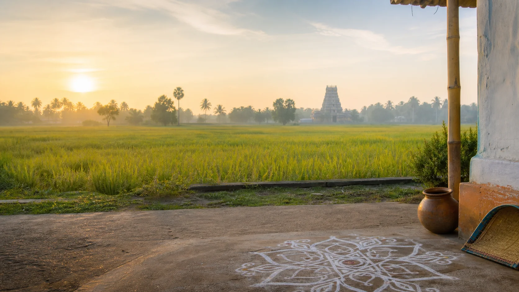
No. They are project-created editorial visuals and are labelled as non-documentary.
Does this guide guarantee transport or access?
No. Rail, bus, road, protected-area and coastal conditions need a current official check.
How does the map work?
It opens place-name searches in Google Maps without publishing invented coordinates or loading a tracking-heavy embedded map.
Editorial trust
Sources and further reading
Major factual claims were checked against authoritative references. Last reviewed 9 August 2026.- About Theni districtTheni District Administration · Official district profileReviewed 9 August 2026
- Tourist places in Theni districtTheni District Administration · Official district visitor recordReviewed 9 August 2026
- Meghamalai and Chinna Suruli contextTheni District Administration · Official district visitor recordReviewed 9 August 2026
- Srivilliputhur Megamalai Tiger ReserveTamil Nadu Forest Department · State conservation authorityReviewed 9 August 2026
- Forests, protected areas and visitor contextTamil Nadu Forest Department · State governmentReviewed 9 August 2026
- Regional Meteorological Centre ChennaiIndia Meteorological Department · Official weather authorityReviewed 9 August 2026
- National Train Enquiry SystemIndian Railways · Official transportReviewed 9 August 2026