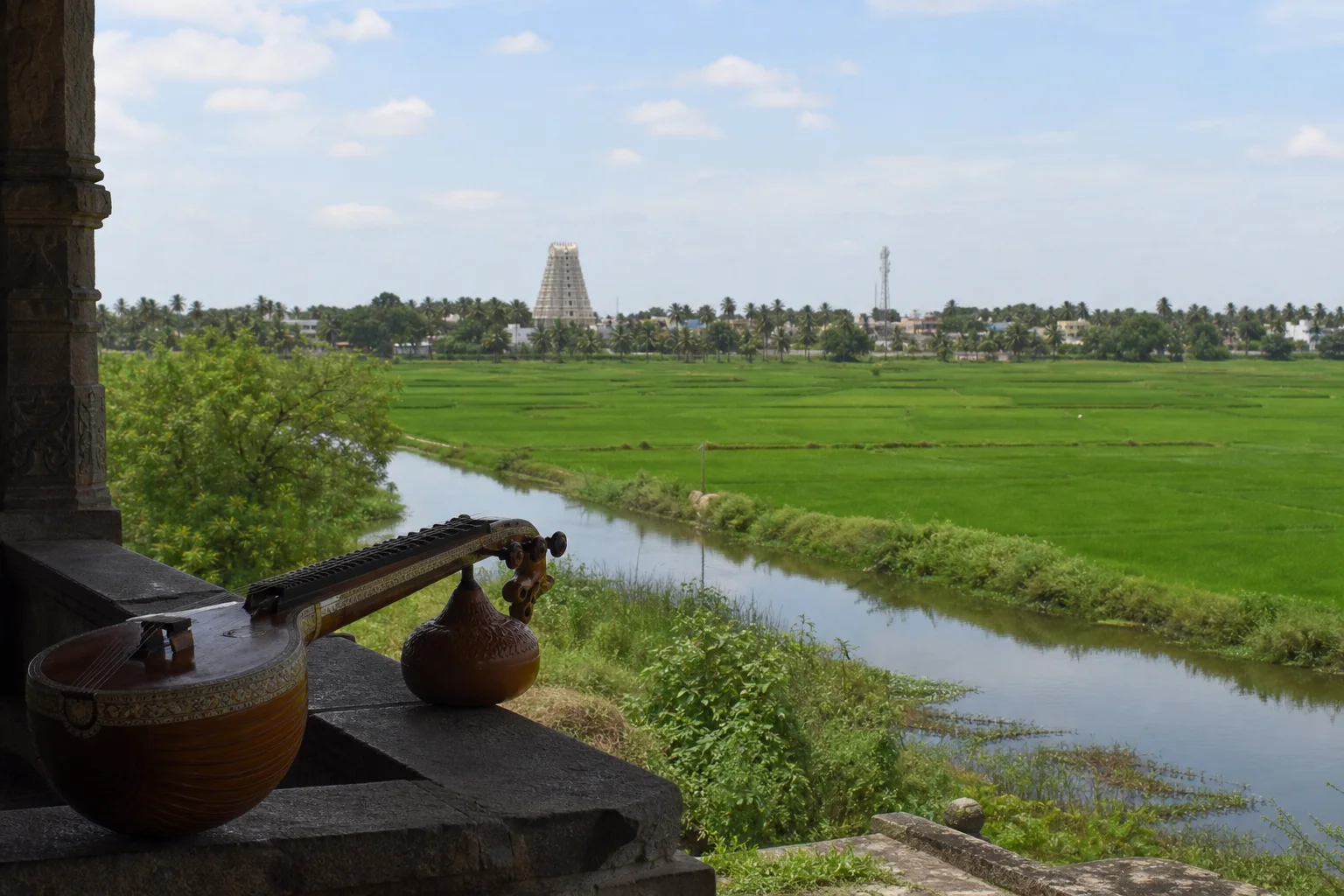
Canals, rice landscapes, living sacred institutions and musical lineages
Tiruvarur District: Delta Life, Temple Heritage and Music
Tiruvarur district lies in the Cauvery delta, where distributaries and canals sustain farms, towns, temples and cultural institutions before reaching coastal wetlands around Muthupet. Tiruvarur is closely associated with influential Carnatic composers and temple music, but the musical tradition has many centres and contributors; this guide avoids a single-origin claim.On this page
District overview
Understanding Tiruvarur district
Official district material places Tiruvarur within the Cauvery delta and identifies its temple, festival and cultural associations alongside agriculture and coastal wetlands.[tiruvarurAbout][tiruvarurCulture]
Music coverage names documented associations while recognizing the wider networks through which Carnatic practice developed.
Tiruvarur district is an administrative area, not a promise that every named place sits close to the headquarters. Routes should be checked by current district, taluk and place name before travel; historical sources may use boundaries that were valid only when they were written.
Why it matters
Why explore Tiruvarur?
Thyagarajaswamy Temple and its townscape connect architecture, ritual, inscriptions, performance and civic memory.[tiruvarurCulture]
Tiruvarur is associated with Muthuswami Dikshitar and Syama Sastri, while nearby Thiruvaiyaru in Thanjavur district is strongly associated with Tyagaraja. These geographies should not be collapsed.
Muthupet-side mangroves and lagoons show how delta water, coastal ecology and fishing livelihoods meet.[forest8d]
Land and water
Geography and regional identity
The district is a low, intensively managed delta plain crossed by distributaries, canals, drains and tanks. Water timing and maintenance strongly affect cultivation and settlement.
Toward Muthupet, freshwater and marine systems meet in lagoon and mangrove landscapes with variable salinity and access.
Flooding, intense rain, heat and coastal weather can disrupt travel. A calm photograph cannot stand in for current conditions.[imd8d]
Landscape labels summarize a large area and never establish access. In Tiruvarur, public roads, protected land, worship, farms, water infrastructure and workplaces each have different rules. Place-name map searches help with orientation, while the responsible authority determines entry.
Evidence and change
Historical overview
Inscriptions and temple institutions document patronage, land, water, ritual service and artistic practice across changing Chola and later political settings.
Musical history is reconstructed through compositions, teacher lineages, manuscripts, instruments, institutions and performance memory, each with limitations.
Tiruvarur's composer associations are important nodes in a network extending through the delta, Thanjavur court, Madurai, Chennai and regions beyond Tamil Nadu.
Modern delta history includes agrarian change, irrigation politics, rail and road movement, social reform, education and migration.[tiruvarurHistory]
A district boundary is modern administration rather than a timeless historical region. Evidence found in today's Tiruvarur can illuminate wider networks, but it does not prove that an ancient polity, language community or trade system followed the present border.
Continue with Tamil Nadu history →Within the district
Cities, towns and local centres
These are district contexts, not newly created destination pages.Tiruvarur
A temple, music, administrative, education and market centre.
Mannargudi
A substantial inland delta centre with its own sacred and civic life.
Muthupet
A gateway to lagoon, mangrove and fishing contexts.
Thiruthuraipoondi
Agriculture and routes toward the coast shape the town.
Nannilam
Canals, farms and temple settlements structure the area.
Needamangalam
Road and rail movement connect western and eastern delta routes.
Living and protected places
Temples and spiritual places
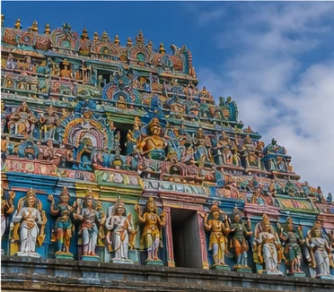
Thyagarajaswamy Temple, Tiruvarur
A major living Shaiva institution with ritual, architectural and musical contexts.
Rajagopalaswamy Temple, Mannargudi
A large living Vaishnava temple within a major delta town.
Koothanur Saraswathi Temple context
A living sacred and literary association in the district; verify current arrangements.
Interpret carefully
Heritage and architecture
Tiruvarur temple town
Temple, tank, streets, music and civic institutions form a connected landscape.
Composer and performance memory
Documented associations belong within broader teacher and patronage networks.
Delta irrigation heritage
Channels are maintained infrastructure, not a timeless natural gift.
Muthupet cultural landscape
Mangroves, fishing and settlement must be read together.
Living knowledge
Culture, food and regional products
Culture and festivals
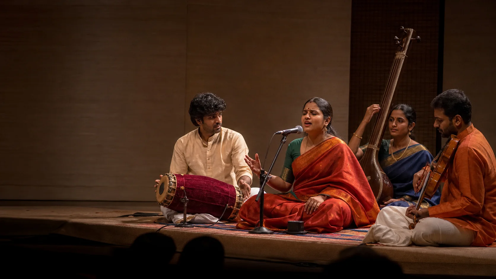
Temple music, Carnatic concert traditions, folk performance, agrarian observance and community festivals coexist without being interchangeable.
Tiruvarur's musical importance does not erase performers, composers and patrons from other places or marginalized communities.
Large temple events have changing dates and arrangements; verify them with current institutions.[tiruvarurCulture]
Food and cuisine
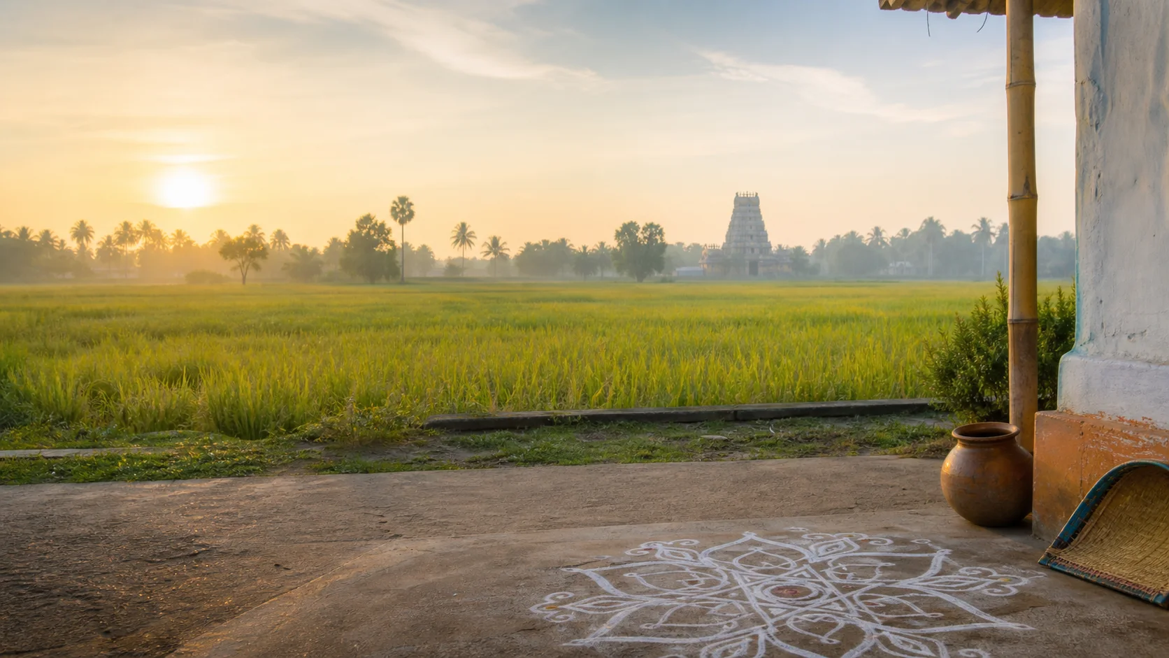
Delta rice supports many food traditions, joined by pulses, vegetables, coconut and regionally available fish toward the coast.
Temple-town, agricultural and fishing-community meals differ by household, faith, caste, season and income.
No dish is labelled the district's original or best without evidence.
Making and provenance
Regional products and crafts
Rice and agricultural goods remain important, but variety and origin require producer-level verification.
Musical instruments and ritual goods have specialized craft chains that may extend beyond district boundaries.
Mangrove plants, shells and wetland material should never be removed.
District-level association does not prove that every item sold under the Tiruvarur name was grown, made or processed locally. Useful provenance identifies the producer, material, technique and production place without turning a broad regional reputation into a guarantee.
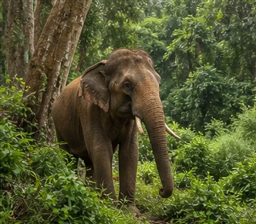
Landscape first
Nature and wildlife
Muthupet-side wetlands support mangrove, lagoon and migratory-bird habitats under changing salinity and water conditions.[forest8d]
Bird presence is seasonal and never guaranteed; use authorized entry and maintain distance.
Canals and flooded fields can be unsafe, while coastal storms can change access quickly.[imd8d]
Work and change
Economy and livelihoods
Agriculture, trade, transport, public services, pilgrimage, fishing and cultural work support the district.
Delta productivity depends on labour, water allocation, maintenance and ecological conditions, not simple natural abundance.
No live crop, visitor or fisheries figure is published.
Build a coherent route
Places to explore in Tiruvarur
Tiruvarur town
Connect sacred institution, tank, streets and documented musical memory.
Mannargudi
Treat it as a substantial separate cluster.
Muthupet
Use current authorized access.
Thiruthuraipoondi
Plan around agriculture and onward coastal routes.
Nannilam side
Choose a small, coherent route.
Needamangalam
Use as a transport and water-landscape orientation point.
Choose your pace
Things to do
Listen historically
Ask how compositions, lineages and institutions connect to place.
Read a maintained delta
Notice channels, sluices, fields and settlement.
Compare living temple towns
Allow Tiruvarur and Mannargudi their distinct institutions.
Explore wetlands responsibly
Choose authorized routes and accept seasonal uncertainty.
Conditions, not promises
Best season and current checks
Monsoon rain, flooding, heat, humidity and coastal conditions require current checks.[imd8d]
Music and temple events are annual institutional programs, not permanent listings.
This evergreen guide does not publish forecasts, road or sea status, attraction hours, event dates, transport operation or other live conditions.[imd8d]
Plan by days
Suggested duration
One day
Focus on Tiruvarur town or Mannargudi as one complete cluster.
Two days
Use one central temple-town day and one Muthupet-side day.
Three or more days
Add northern or southern delta villages only with realistic local transport.
Regional access
How to reach
By rail
Tiruvarur, Mannargudi, Needamangalam and other stations serve different routes; verify current trains.
By road
Roads connect Thanjavur, Nagapattinam, Mayiladuthurai and Pudukkottai-side regions.
By air
Confirm the practical airport and onward rail or road connection.
Local movement
Getting around
Trains and buses connect larger towns; wetlands, smaller temples and farming villages need last-mile planning.
The central planning check is simple: Check flood and rain conditions, wetland rules, temple arrangements, event dates and current transport.
Map links are for orientation. Confirm accessibility, parking, last-mile transport and return options locally. Leave enough daylight for rural, hill, wetland or coastal return travel and keep an alternative when one place is unavailable.
Place-name links
Map of Tiruvarur district
No fabricated coordinates or heavy map embed are used.Map data is not embedded on this lightweight page. Open a place-name search in Google Maps for current roads, business details and directions.
Continue geographically
Nearby districts
Continue by subject
Related My Tamil Nadu guides
Practical planning
Save a district checklist
Saved only in this browser. No login or personal data is needed.
Questions
Frequently asked questions about Tiruvarur
Is Tiruvarur district the same as Tiruvarur town?
No. Tiruvarur town is the headquarters; the district extends through Mannargudi, Nannilam, Needamangalam, Thiruthuraipoondi and Muthupet-side delta landscapes.
Did all Carnatic music originate in Tiruvarur?
No. Tiruvarur has exceptional associations with major composers, temples and musical traditions, but Carnatic music developed across many courts, temples, communities, teachers and regions over time.
What is Tiruvarur best understood through?
Its strongest identity joins living temple institutions, influential musical lineages, engineered delta water, agriculture, market towns and coastal wetlands.
How many days are useful for Tiruvarur?
Two days gives a focused introduction; use three or more when coast, hills, distant towns or heritage clusters are combined.
Are current timings, fares and schedules listed?
No. Operational details change and must be confirmed with the responsible authority.
Are the images documentary photographs?
No. They are project-created editorial visuals and are explicitly labelled non-documentary.
How do the map links work?
They open place-name searches in Google Maps without guessed coordinates or a heavy embedded map.
Editorial trust
Sources and further reading
Major factual claims were checked against authoritative references. Last reviewed 9 August 2026.- About Tiruvarur districtTiruvarur District Administration · Official district profileReviewed 9 August 2026
- History of TiruvarurTiruvarur District Administration · Official district historyReviewed 9 August 2026
- Festivals, culture and heritageTiruvarur District Administration · Official district cultural recordReviewed 9 August 2026
- Forests, wetlands and protected-area guidanceTamil Nadu Forest Department · State conservation authorityReviewed 9 August 2026
- Archaeological sites, excavations and museumsTamil Nadu State Department of Archaeology · State archaeology authorityReviewed 9 August 2026
- Regional Meteorological Centre ChennaiIndia Meteorological Department · Official weather authorityReviewed 9 August 2026
- National Train Enquiry SystemIndian Railways · Official transportReviewed 9 August 2026