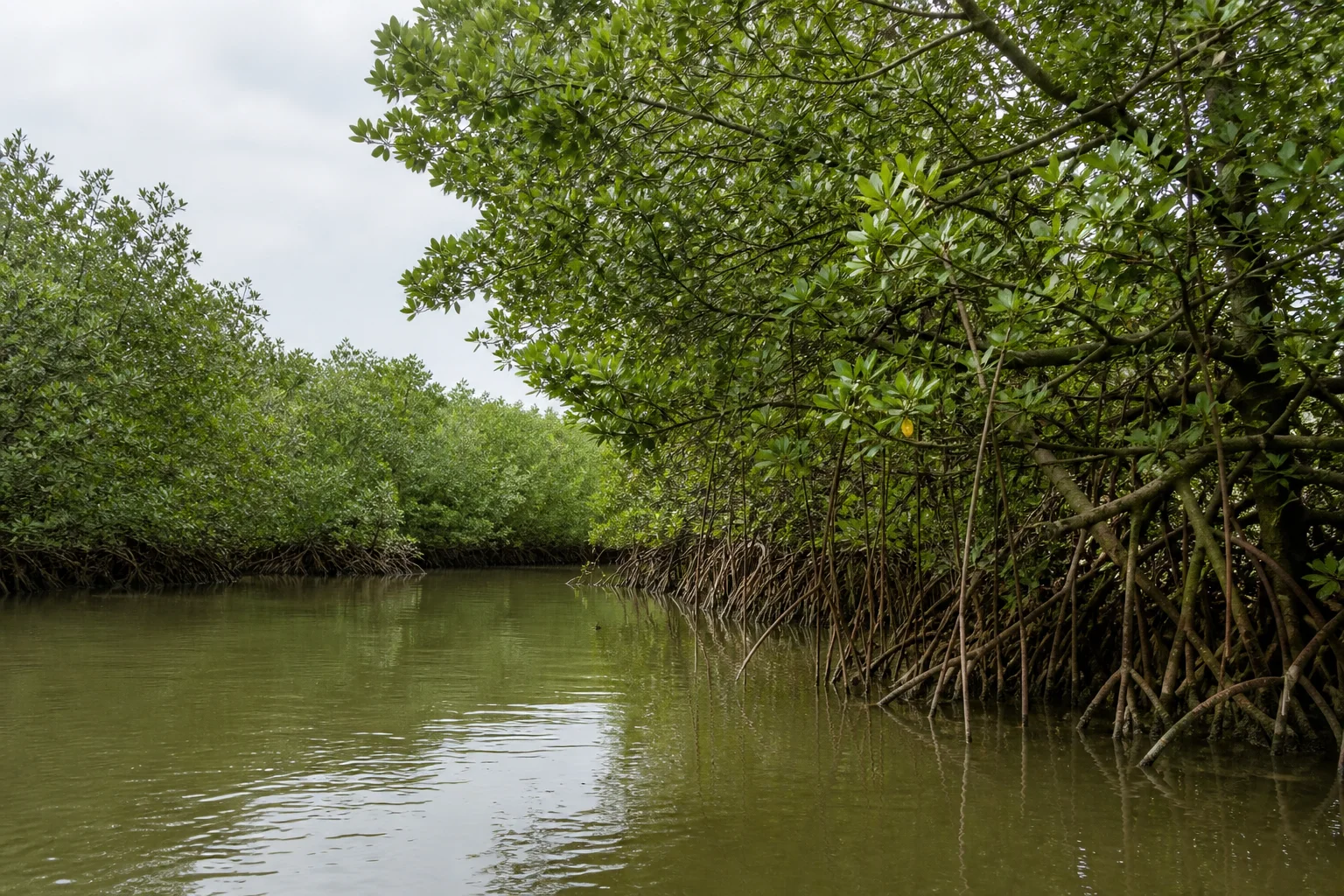
Mangrove forest between river and sea
Pichavaram Mangroves: Tidal Forest, Wetland and Responsible Travel
Read Pichavaram as a tidal wetland and working landscape before thinking about boating or a sightseeing route.
Ecological context
Why This Landscape Matters
Pichavaram lies near Chidambaram in Cuddalore district, between the Vellar and Coleroon river-estuary contexts. The official Ramsar Site name is Pichavaram Mangrove. District administration also identifies Pichavaram as a mangrove forest and visitor place, but its tourism description does not replace wetland or forest rules.[1][2]
On this page
Nature guide
A mangrove wetland in Cuddalore district
Pichavaram lies near Chidambaram in Cuddalore district, between the Vellar and Coleroon river-estuary contexts. The official Ramsar Site name is Pichavaram Mangrove. District administration also identifies Pichavaram as a mangrove forest and visitor place, but its tourism description does not replace wetland or forest rules.[1][2]
Pichavaram is not simply a network of boat channels. It is a tidal landscape connecting river water, saline influence, sediment, mangrove vegetation, fisheries, surrounding villages and the coast. The Ramsar boundary and public visitor route are different questions.
Nature guide
How a mangrove system works
Mangroves are salt-tolerant woody plants adapted to tidal wetlands. Their roots, canopy, sediment and channels create habitat and influence shoreline processes, water movement and nursery conditions for fish and invertebrates. Different species occupy different positions according to salinity, inundation and substrate.[1]
The exposed roots in the hero image are an editorial interpretation, not a location pin or current-condition record. Do not touch, cut, collect or climb mangrove vegetation. A narrow channel is habitat, not permission to enter it.
Nature guide
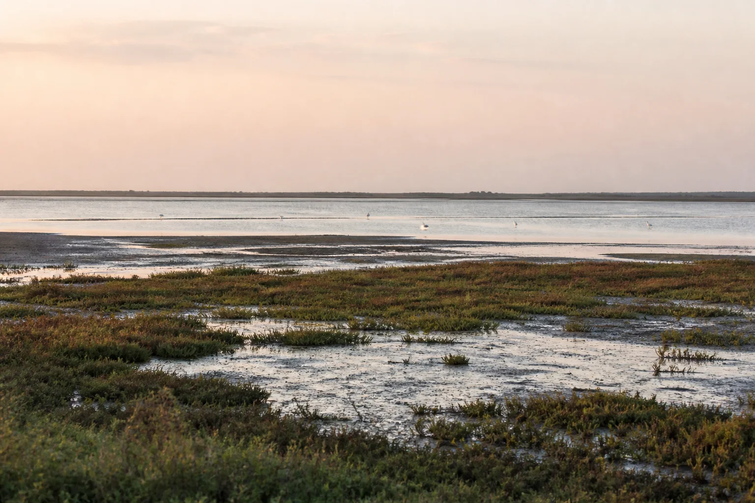
Ramsar Site and Reserve Forest are separate terms
Ramsar Sites Information Service lists Pichavaram Mangrove as Wetland of International Importance site number 2482, designated in 2022. The record also notes Reserve Forest history. International wetland designation and Indian forest status should be stated separately because each has its own legal and management meaning.[1]
Ramsar recognition does not guarantee public boating, opening hours or unrestricted access to channels. It also does not make every mangrove patch near Chidambaram part of the listed site. Use the official record for designation facts and current local authority for visitor arrangements.
Nature guide
Fish, birds and coastal food webs
The Ramsar record describes mangrove, littoral and swamp-forest habitats and their importance to fish, prawns, crabs, birds and other wildlife.[1] Representative species help explain ecological function, but no particular bird, fish or reptile is guaranteed to appear during a visit.
Observe wildlife from distance. Do not use playback, feed animals, push a boat toward a flock or enter roots for a photograph. Sensitive nesting and roosting locations are intentionally omitted from this page and map.
Nature guide
Livelihoods and local knowledge
Fishing and other livelihood relationships are part of Pichavaram's wetland significance. Boats, nets, landing spaces and village routes are working infrastructure, not a staged attraction. Conservation decisions also affect people who depend on water and wetland resources.
Use authorized services, listen to safety and route instructions, ask before photographing people and avoid romantic or extractive claims about communities. Human editorial review is appropriate for detailed community narratives; this guide keeps the focus on respectful visitor conduct.
Nature guide
Tides, rainfall and changing conditions
Channel depth, salinity, water movement and visibility vary with tides, rainfall, river flow and management. Weather can change boating and road conditions. No fixed description here should be read as a live water-level or service report.
Check IMD weather and coastal guidance as well as current district or Forest Department information before travel.[7][8] Do not assume that calm water in an image means current conditions are safe or that every channel is navigable.
Nature guide
Boating is conditional, not the definition of the wetland
Where an authorized boat service is operating, follow the assigned route, capacity, equipment and operator instructions. Keep hands and belongings inside the boat where directed, avoid standing or leaning into roots and never ask to enter a closed or narrow channel.
This page deliberately omits current prices, timings and availability. Services may stop because of weather, water, maintenance or regulation. A useful visit can still focus on interpretation from permitted public areas and the relationship between mangroves, estuaries and nearby Chidambaram.
Nature guide
Connect Pichavaram with Chidambaram and Cuddalore
Chidambaram is the nearest major cultural and travel context, while Cuddalore district provides the administrative frame. Treat the Nataraja Temple, Chidambaram town and Pichavaram as distinct places with different conduct and current-information needs. Do not rush a sacred visit to meet an assumed boat schedule.
Build a flexible day with weather and access checks, carry sun and rain protection, drinking water and a waste bag, and keep an alternative in Chidambaram or Cuddalore. Use the district and destination guides for transport context rather than inventing a fixed transfer time.
Habitat context
Wildlife You May Encounter
These representative examples are supported by the sources on this page. They are not a sighting promise, and sensitive locations are intentionally omitted.
Waterbirds
Mangrove, channel and estuarine habitat
Presence and abundance varyFish and prawns
Nursery and feeding habitat
Observe ecological context; do not collectCrabs
Mud, root and channel edges
Do not enter roots to seek themOlive ridley turtle
Wider coastal context in the Ramsar record
No encounter promise; follow authority guidanceSeasonal lens
Nature Through the Year
Conditions vary with rainfall and year. Use the statewide month guides for broad context, then check the responsible authority for current conditions.
Explore Tamil Nadu by Month- Landscape
- Strong seasonal interest
- Conditions
- Weather-dependent
- Planning
- Verify current access
General location only
Open a map handoff
The map opens a broad landscape or visitor destination. It does not reveal nests, dens, breeding areas, restricted islands or sensitive wildlife coordinates.
Private planning tool
Nature Trip Checklist
0 of 10 readySaved only in this browser. No login or personal data is required.
Questions
Frequently asked questions
Does this guide provide live access information?
No. Access, roads, permits, boat services and visitor arrangements can change. Confirm current conditions with the responsible Forest Department, district administration or site authority.
Are wildlife or bird sightings guaranteed?
No. Species are included only as representative habitat context. Never chase an encounter, approach wildlife or enter a restricted area for a photograph.
Can I rely on the map for protected-area boundaries?
No. The map handoff is a broad public place-name search, not a legal boundary, trail, gate or permission map. Use current official instructions.
Does the page publish sensitive wildlife locations?
No. Nests, breeding areas, dens, movement routes and other sensitive coordinates are deliberately omitted.
What should I verify close to travel?
Check weather, road conditions, access, permits, official warnings and any local restrictions. Keep an alternative plan if conditions change.
Is Pichavaram a Ramsar Site?
Yes. The official site name is Pichavaram Mangrove, designated as a Wetland of International Importance in 2022.
Is boating always available?
No. Boat operation, routes, prices and access are current information and must be checked with the responsible local authority.
Media record
Images with explicit provenance
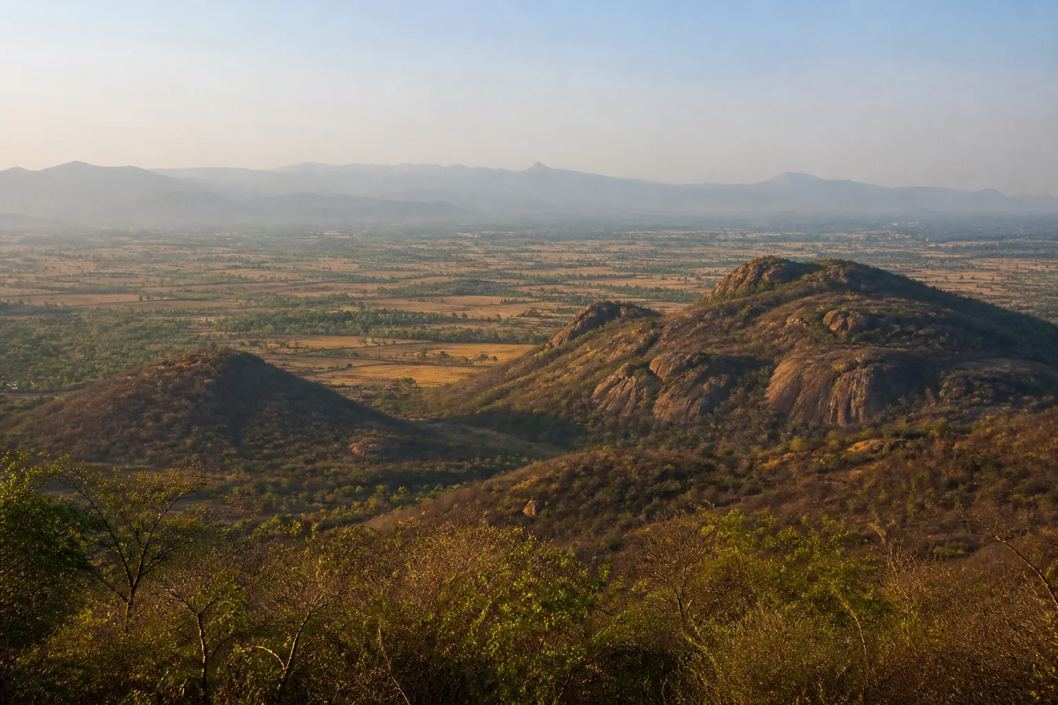
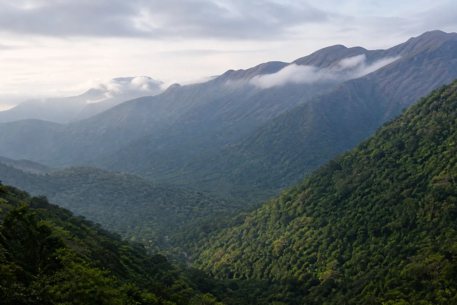
All Phase 10 visuals are project-created editorial interpretations. They support learning and layout but do not document a sighting, current habitat condition or site access.
Editorial trust
Sources & Further Reading
These are the sources actually consulted for this guide. Protected-area, UNESCO, Ramsar, species, habitat and geographic claims are cited inline. Reviewed 22 August 2026.
- Pichavaram MangroveRamsar Sites Information Service · 2022Accessed 22 August 2026
- Pichavaram mangrove forestCuddalore District Administration · 2026Accessed 22 August 2026
- Wetlands of Tamil NaduTamil Nadu State Wetlands Authority · 2026Accessed 22 August 2026
- Ramsar Sites of Tamil NaduTamil Nadu State Wetlands Authority · 2026Accessed 22 August 2026
- Forests, wildlife and conservation in Tamil NaduTamil Nadu Forest Department · 2026Accessed 22 August 2026
- Environment, Climate Change and Forests Policy Note 2025-26Government of Tamil Nadu · 2025Accessed 22 August 2026
- Regional Meteorological Centre ChennaiIndia Meteorological Department · 2026Accessed 22 August 2026
- Coastal Weather BulletinsIndia Meteorological Department · 2026Accessed 22 August 2026