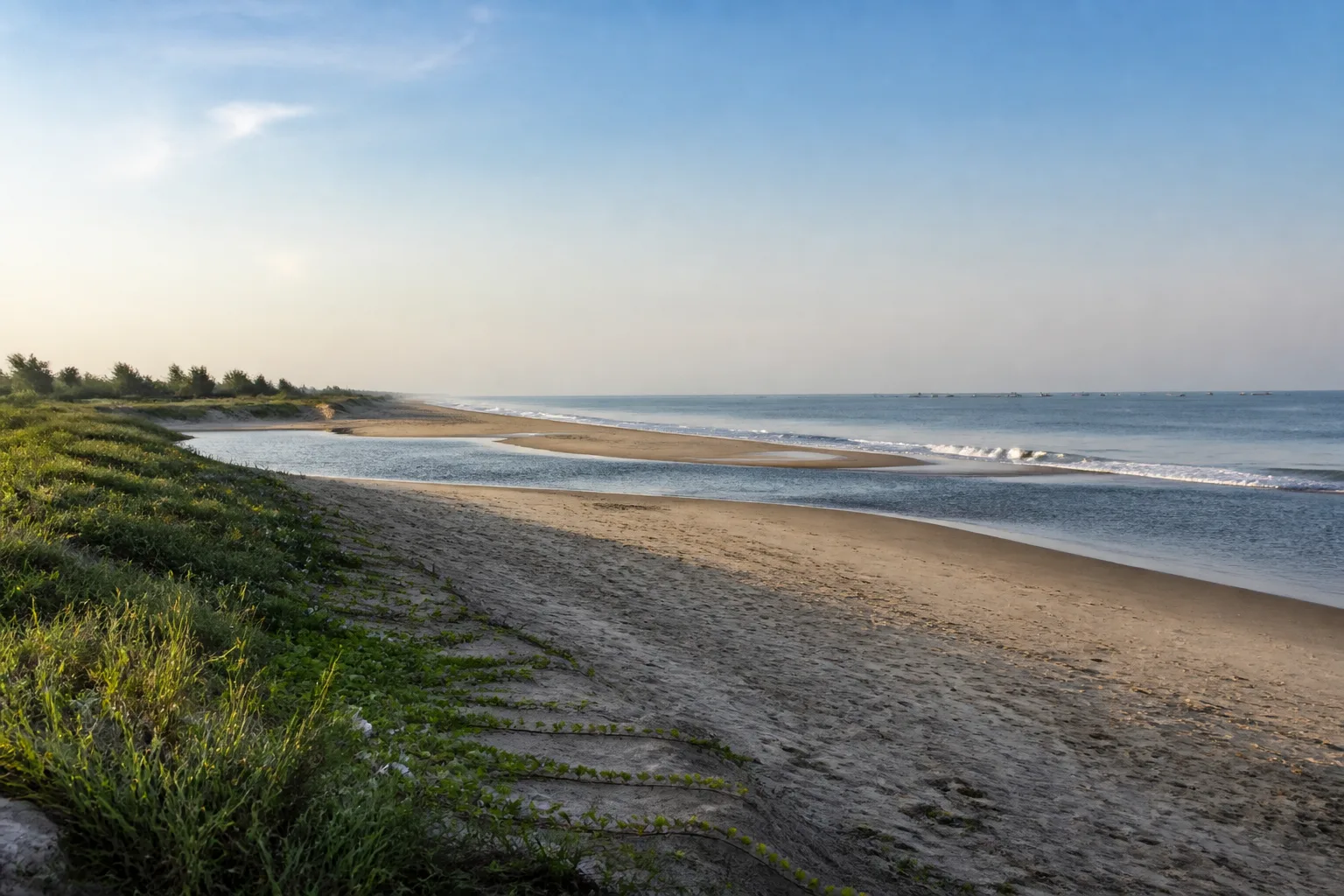
A long coast of changing environments
Beaches and Coast of Tamil Nadu: Landscapes and Coastal Travel
Explore shores as connected landscapes shaped by waves, rivers, weather, settlements, livelihoods and marine ecology.
Ecological context
Why This Landscape Matters
Tamil Nadu's coast changes from Chennai's urban shore through the heritage coast around Mahabalipuram, delta and wetland systems, the Palk Bay margin, Rameswaram's island landscape, the Gulf of Mannar and the far south around Kanniyakumari. These are not identical beach experiences. Sediment, river mouths, dunes, reefs, seagrass, built structures and seasonal weather all shape the edge between land and sea.
On this page
Nature guide
Read the coastline as a system
Tamil Nadu's coast changes from Chennai's urban shore through the heritage coast around Mahabalipuram, delta and wetland systems, the Palk Bay margin, Rameswaram's island landscape, the Gulf of Mannar and the far south around Kanniyakumari. These are not identical beach experiences. Sediment, river mouths, dunes, reefs, seagrass, built structures and seasonal weather all shape the edge between land and sea.
A beach is only one visible part. Dunes store and move sand; estuaries mix river and marine processes; mudflats and marshes support food webs; fishing settlements connect livelihoods to changing waters. Avoid language that turns working coasts or communities into decorative backdrops.
Nature guide
Chennai to the far south
Chennai offers a highly urban coast where public space, rivers, marshes, ports and dense development meet the Bay of Bengal. Mahabalipuram adds a heritage landscape beside the sea, but monument conservation and coastal safety are separate concerns. Nagapattinam and neighbouring delta districts bring estuaries, wetlands, salt-influenced systems and fishing economies into the story.
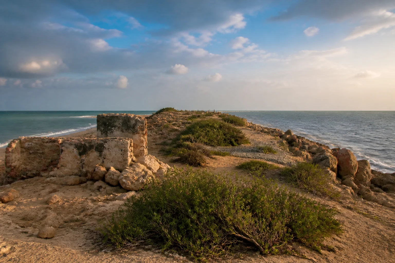
Rameswaram lies in a low island context between Palk Bay and the Gulf of Mannar. Kanniyakumari's far-southern setting includes rocky and sandy edges and a different relationship to open water. Use each destination and district guide for local geography; do not project one coast's conditions onto another.
Nature guide
Sea conditions are current information
No Tamil Nadu beach should be described as permanently safe for swimming. Currents, waves, wind, visibility, storms, coastal works and supervision change. Sea conditions can change. Follow local safety instructions and current weather or coastal advisories.[1]
Stay behind barriers, heed lifeguards and local authorities, and avoid entering water at unmonitored or restricted places. Storm watching from exposed shorelines is not a responsible activity. Build alternative plans when an advisory changes access.
Nature guide
Monsoon and cyclone awareness
Tamil Nadu's southeast coast is strongly influenced by northeast-monsoon weather, while the Bay of Bengal can also produce cyclonic systems and hazardous sea conditions. Exact onset, rain and storm impacts vary by year and location; evergreen copy cannot predict a trip.[2]
Before travel, review the current IMD forecast, coastal bulletin and district notices. After heavy weather, expect that erosion, debris, water quality, road access and local restrictions may differ from a normal day. Do not infer safety from clear skies at the moment you arrive.

Nature guide
Dunes, estuaries, wetlands and marine life
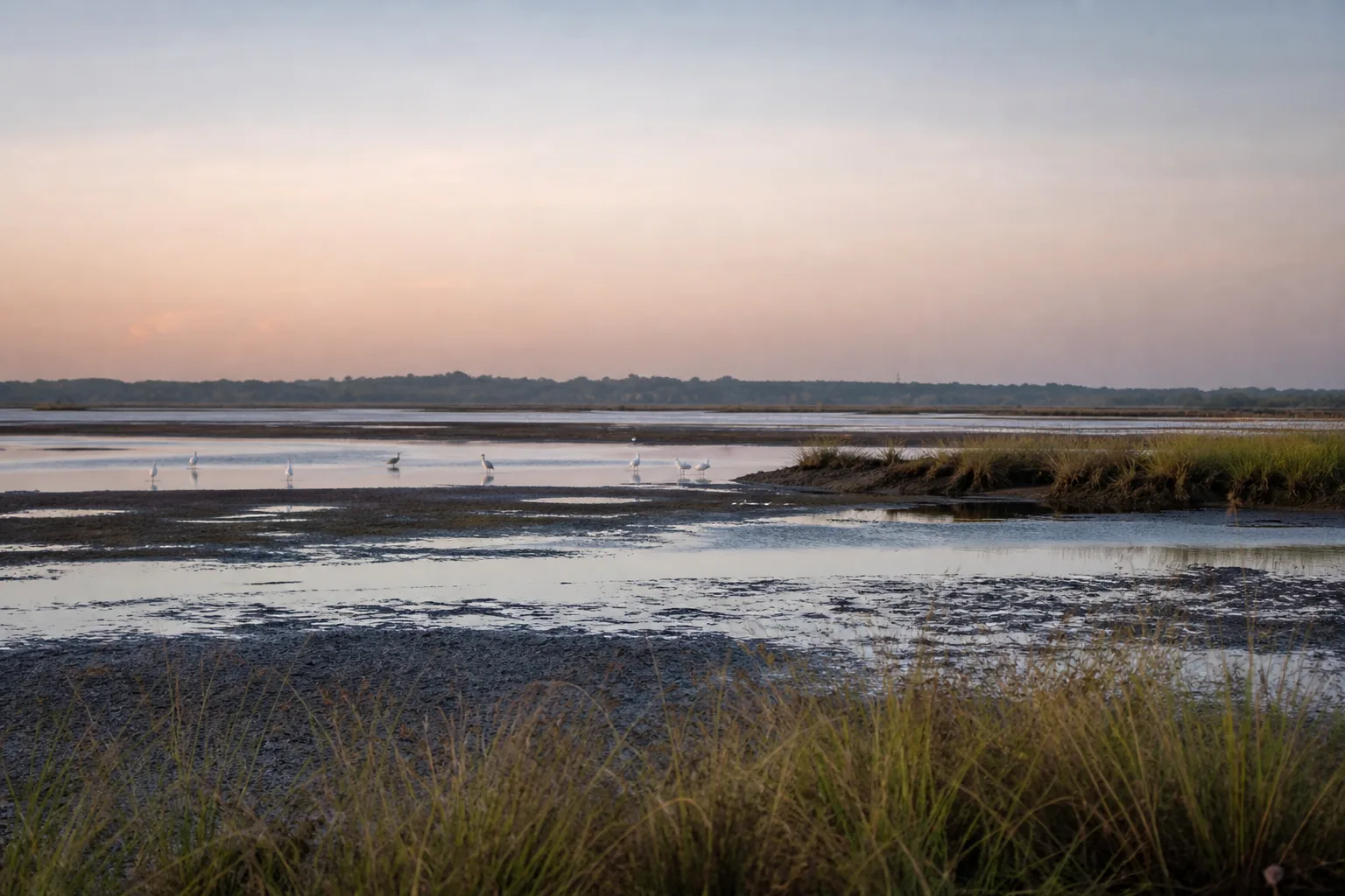
Coastal habitats operate together. Dunes can help maintain beach form; estuaries and lagoons connect fresh and salt water; mangroves occupy suitable sheltered intertidal settings; offshore seagrass and reef habitats support different marine communities. Not every habitat occurs on every stretch.
Observe shorebirds from a distance, keep vehicles off dunes and beaches unless explicitly permitted, avoid bright lights and noise around wildlife, and never treat stranded or nesting animals as a photo opportunity. Contact responsible authorities rather than handling wildlife.
Nature guide
Respect working coasts
Fishing communities hold place-based knowledge and depend on access to landing areas, boats, nets, markets and near-shore waters. Visitors should keep clear of working space, ask before photographing people and avoid presenting livelihoods as performances.
Buy food and services respectfully, keep waste secured and do not block boat movement or repair areas. Restrictions around marine protected areas and islands serve ecological and livelihood purposes; use authorized operators only where current rules allow access.
Nature guide
Build a resilient coastal day
Choose one or two established coastal places, keep shade and drinking water in the plan, and leave room for a weather-driven change. Pair an outdoor shore visit with a museum, monument or town walk rather than forcing exposure when conditions deteriorate.
Google Maps can help reach a general public destination but does not establish swimming safety, legal access or current road condition. Review district and coastal guidance before departure and again on the day.
Seasonal lens
Nature Through the Year
Conditions vary with rainfall and year. Use the statewide month guides for broad context, then check the responsible authority for current conditions.
Explore Tamil Nadu by Month- Sea conditions
- Weather-dependent
- Coastal visits
- Current warning check
- Planning
- Extra planning recommended
General location only
Open a map handoff
The map opens a broad landscape or visitor destination. It does not reveal nests, dens, breeding areas, restricted islands or sensitive wildlife coordinates.
Private planning tool
Nature Trip Checklist
0 of 8 readySaved only in this browser. No login or personal data is required.
Questions
Frequently asked questions
Is visitor access guaranteed?
No. Protected areas and nature sites can close or change access rules. Check the current Forest Department, district administration or responsible site authority before travelling.
Are wildlife sightings guaranteed?
No. Wildlife is not scheduled and should never be chased. Read these guides as habitat and conservation context, then follow ranger instructions in permitted visitor areas.
Does this page show live weather or road status?
No. This is evergreen ecological and planning information. Use the India Meteorological Department and responsible local authorities for current conditions.
Can I use a drone?
Do not assume that drone use is permitted. Protected areas, coasts and other sensitive sites can have legal and operational restrictions; verify current official rules before carrying or using one.
How should I use Google Maps here?
The map handoff opens a general destination or protected-area search. It deliberately avoids nests, breeding areas, dens, restricted islands and other sensitive wildlife locations.
Are Tamil Nadu beaches safe for swimming?
Safety cannot be stated permanently. Follow current weather and coastal advisories plus lifeguard and local instructions at the specific beach.
What is the difference between the Bay of Bengal, Palk Bay and Gulf of Mannar?
They are distinct water-body and coastal contexts around Tamil Nadu. Rameswaram lies near the transition between Palk Bay and Gulf of Mannar settings.
Media record
Images with explicit provenance
All Phase 10 visuals are project-created editorial interpretations. They support learning and layout but do not document a sighting, current habitat condition or site access.
Editorial trust
Sources & Further Reading
These are the sources actually consulted for this guide. Protected-area, UNESCO, Ramsar, species, habitat and geographic claims are cited inline. Reviewed 9 August 2026.
- Coastal Weather BulletinsIndia Meteorological Department · 2026Accessed 9 August 2026
- Regional Meteorological Centre ChennaiIndia Meteorological Department · 2026Accessed 9 August 2026
- Wetlands of Tamil NaduTamil Nadu State Wetlands Authority · 2026Accessed 9 August 2026
- Biosphere ReservesTamil Nadu Forest Department · 2026Accessed 9 August 2026
- National ParksTamil Nadu Forest Department · 2026Accessed 9 August 2026