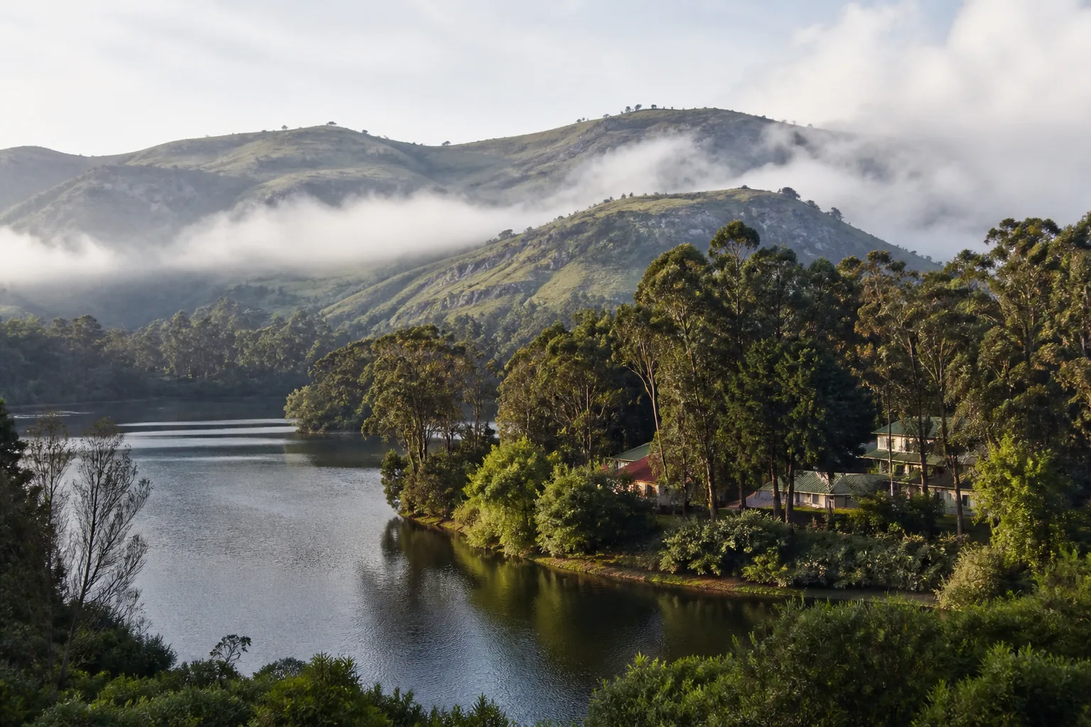
Upper Palani Hills and hill-station landscape
Kodaikanal Travel & Nature Guide
Kodaikanal is a hill town in Dindigul district in the upper Palani Hills. The lake, wooded slopes, viewpoints, institutions and surrounding highland ecology make it a nature-oriented destination that needs weather-aware, low-impact planning.
On this page
Start here
Why Kodaikanal
The Dindigul district administration places Kodaikanal in the upper Palani Hills and identifies its lake, wooded environment, waterfalls and outdoor activities. The same official page also notes the Kodaikanal Observatory, which adds a scientific history beyond scenic tourism.[1]
A useful first visit should connect Kodaikanal's principal landmarks with the ordinary geography between them. Streets, water systems, markets, transport nodes, worship and regional food often explain more than a sequence of isolated photo stops. This guide therefore groups places by context and gives verification notes wherever current access may change.
The right pace depends on purpose. A one-day visit can establish the main landscape and one or two major sites; a second day allows museums, neighbourhoods or craft traditions; a third is better used for a carefully chosen nearby circuit. The itineraries below are sequences rather than promised travel times.
Historical context
A short history of Kodaikanal
Kodaikanal's modern hill-station history developed through nineteenth-century institutions, roads, residences and educational activity, but the Palani Hills have much older Indigenous and regional histories that should not be treated as a preface to colonial settlement.
The official district guide locates the town in the upper Palani Hills and describes the observatory established as a solar-physics institution at the end of the nineteenth century. The Indian Institute of Astrophysics remains the authoritative source for current observatory context.[1][2]
Lake, roads, gardens and built heritage altered the highland environment. A responsible history connects these visitor landscapes with water, forest change and local livelihoods.
Contemporary Kodaikanal includes schools, farms, markets, tourism businesses and residential neighbourhoods. It is not only a resort image.
Plan your visit
Places to explore in Kodaikanal
Access, opening details and current conditions should be verified with the responsible official source before travel.
Kodaikanal Lake
A constructed lake at the heart of the visitor town and a useful orientation point.
Activity access and safety require current checks.Coaker's Walk
A recognized elevated walk where mist can alter visibility quickly.
Follow current opening and barrier instructions.Bryant Park
A central botanical and public-space stop whose displays vary by season.
Verify current access.Pillar Rocks area
A highland viewpoint where weather and crowd management shape the experience.
Do not cross barriers.Pine Forest area
A popular wooded setting, not untouched native forest.
Use recognized access and retain all litter.Kodaikanal Solar Observatory
An important solar-observation institution with visitor access determined by official notices.
Do not promise public access without verification.Silver Cascade
A visible water feature near an approach road whose flow and safe access vary.
Never infer bathing safety.Upper Palani village and farm context
Responsible, permission-based experiences can explain cultivation and highland life.
Private farms are not open by default.Choose your pace
Things to do in Kodaikanal
Walk the central landscape
Link the lake, park and nearby public walks without using a vehicle for every short movement.
Plan a science stop
Check the observatory's official visitor information and treat research operations as the priority.
Read forest types carefully
Distinguish native shola-grassland ecology, plantations, gardens and ornamental woods rather than calling every green area wilderness.
Read one place closely
Choose a museum, monument, temple or neighbourhood in Kodaikanal and spend enough time to understand its setting, materials and continuing use.
Build a regional food map
Ask what is made locally, what belongs to the wider district and what arrived through migration or trade. This avoids reducing a complex food culture to one famous item.
Use the map as a planning tool
Save official place names before travel, cluster nearby stops and open current directions only when needed. The map section provides direct Google Maps handoffs without embedding unverified business data.
Living places
Temples, heritage and interpretation
Kodaikanal's built heritage includes institutional, educational, residential and scientific histories. Many structures are working or private properties and cannot be entered without permission.
Churches and sacred places require ordinary visitor respect; a picturesque exterior does not grant interior access or photography.
Everyday context
Culture and food
Culture
The hill town's culture reflects long local histories, education, farming, migration and tourism. Avoid describing residents as part of a scenic experience.
Markets can offer a better understanding of current produce and work than staged viewpoints, provided visitors ask before photographing vendors.
Explore Tamil Nadu culture →Food
Highland produce, preserves, bread, chocolate and mushrooms are commonly associated with visitor commerce, but origin and production vary. Ask who made a product and where its ingredients came from.
Tamil meals and tiffin remain central to everyday food. A hill trip need not be reduced to packaged souvenirs.
Explore Tamil Nadu food →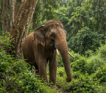
Travel with context
Nature, season and month-by-month planning
Landscape and ecology
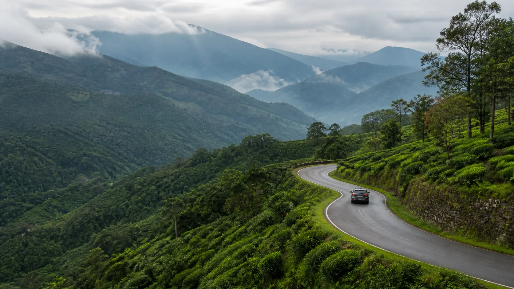
The upper Palani landscape includes ecologically significant high-elevation systems. Shola forest, grassland, wetlands, plantations, farms and settlement are distinct land covers and should not be blurred into one generic green backdrop.
Wildlife encounters must remain distant. Never feed animals or stop unpredictably on narrow roads for a photograph.
Seasonal planning
There is no universal "best" month for Kodaikanal. Comfort depends on heat, rain, wind, visibility, local events and the kind of experience planned. Use the statewide month guides for broad patterns, then check the India Meteorological Department forecast close to departure.[3]
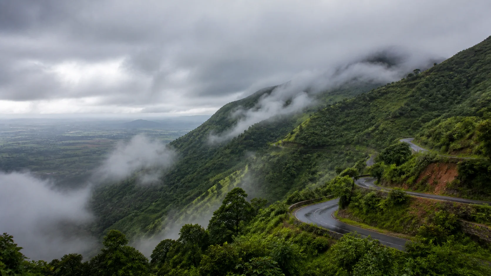
Mist, rain, wind, temperature and road visibility can change within a day. Viewpoints may disappear in cloud, and waterfalls may be unsafe even when visually impressive. Keep an indoor or town-centre alternative.
Festival and holiday periods can change crowd levels, transport demand and access arrangements. They may also be culturally meaningful times to visit, but a guide should never promise an event date without checking the current official calendar. Keep bookings flexible where possible.
January
Often chosen for outdoor-oriented visits; verify local conditions and holiday demand.
Open month guide →AprApril
Plan early starts, shade and indoor pauses; check the current heat outlook.
Open month guide →JulJuly
Southwest-monsoon influence varies by region; confirm rain, wind and road conditions.
Open month guide →OctOctober
Northeast-monsoon conditions may affect parts of Tamil Nadu; verify the local forecast.
Open month guide →Practical access
How to reach and get around Kodaikanal
Road
The final approach is by hill road; check weather, road advisories and driver readiness.
Rail connection
Kodai Road and Dindigul are possible rail connections depending on the itinerary; verify onward transport.
Air connection
Airports in the wider region may be used, with a substantial road transfer; verify the whole journey.
Local
Walking suits the centre; hired transport may be needed for separated viewpoints. Avoid unnecessary vehicle loops.
Getting around
The lake, Bryant Park and Coaker's Walk form a central cluster. Viewpoints and the observatory should be grouped only after checking weather and access.
Keep each half-day centred on one part of Kodaikanal. Save destinations by their official or widely recognized place names, show drivers the written name when pronunciation may vary, and allow time for security checks, worship, weather or traffic.
Walking conditions vary by street, season and time of day. Use marked crossings where available, avoid isolated shortcuts after dark and ask the accommodation or an official visitor desk for current local advice.
Plan by days
Suggested Kodaikanal itineraries
These are editorial sequences, not promises of travel time. Confirm access and adapt the pace to current conditions.
A focused introduction to Kodaikanal that keeps the first day coherent.
- MorningKodaikanal Lake and Coaker's Walk
- AfternoonContinue with a nearby cultural or food stop, leaving time to read the setting rather than race onward.
- EveningChoose a well-used central walk or indoor stop close to accommodation; visibility and hill-road movement can worsen after dark.
Adds a second geographic cluster and more interpretation.
- Day 1Kodaikanal Lake and Coaker's Walk, with a measured break and verified access.
- Day 2Bryant Park and Pillar Rocks area, followed by a neighbourhood meal or institution whose current programme has been checked.
Keeps two days local and reserves the third for a nearby circuit.
- Day 1Kodaikanal Lake and Coaker's Walk
- Day 2Bryant Park and Pillar Rocks area
- Day 3Pine Forest area and Kodaikanal Solar Observatory. Confirm road, monument and protected-area access before leaving.
Continue nearby
Places around Kodaikanal
Open map tools
Map of Kodaikanal
Interactive map data is not loaded on this static page. Open Google Maps for current place details and directions.
Before you go
Practical travel guidance
Check road and weather conditions
Hill roads, visibility and rainfall can change. Consult the official forecast and local transport advice before ascent.
Use layers
Temperatures and wind can vary through a hill day. Pack adaptable layers rather than relying on a fixed seasonal assumption.
Choose marked paths
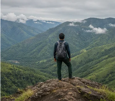
Do not improvise routes through forests, cliffs, farms or water edges. Use authorized access and a qualified local guide where required.
Reduce vehicle pressure
Walk short central distances where safe, share transport and avoid stopping vehicles on narrow bends or gateways.
Carry waste out
Hill ecosystems and drains are easily burdened by packaging. Refill water where responsibly possible and retain all litter.
Keep a mist-day plan
Low visibility can remove the value of viewpoints. A museum, observatory visit, market or quiet town walk can replace a scenic drive.
Saved only in this browser. No account or personal data is required.
Responsible travel
Visit Kodaikanal as a lived place. Ask before photographing people, ceremonies, artisans or private homes; keep entrances and working areas clear; and follow the custodian's rules at sacred, civic and protected sites. A ticket or public road does not make every nearby activity open to documentation.
Choose locally accountable services, carry reusable essentials and avoid single-use litter. Do not feed wildlife, remove natural material, climb monuments, fly a drone without permission or enter farms, forests, rooftops and water edges merely because a photograph appears possible.
Questions
Frequently asked questions about Kodaikanal
Is Kodaikanal in Dindigul district?
Yes. Kodaikanal is in Dindigul district, and this page links to that district guide for the wider geographic context.
Can weather at viewpoints be guaranteed?
No. Mist, rain and wind can change rapidly. Check the forecast and keep an alternative plan.
How many days are useful for a first visit?
One day can introduce Kodaikanal; two days allow a more balanced city or town experience; three days can include a selected nearby circuit. The answer depends on access and pace, not a fixed checklist.
Are the timings and fees on this page current?
No hardcoded timings or fees are presented as live facts. Check the responsible temple, monument, museum, transport operator or district authority close to travel.
Can I use Google Maps from this guide?
Yes. The map section opens a place search and directions in Google Maps. Verify the selected pin before travelling because similarly named places and user-edited listings can exist.
Does the checklist require an account?
No. Checklist choices are stored only in the current browser under a destination-specific key. Reset and print controls are provided.
Which language is most useful?
Tamil is the principal local language. English is often usable in visitor-facing settings, but learning a few courteous Tamil words and carrying written place names can make local communication easier.
How should I plan around festivals?
Use an official current calendar. Festivals can change access, traffic and demand, so plan respectfully and never assume that a ritual is staged for visitors.
Editorial trust
Sources and further reading
Major factual claims were checked against the references below. Last reviewed 9 August 2026.
- KodaikanalDindigul District AdministrationReviewed 9 August 2026
- Kodaikanal Solar ObservatoryIndian Institute of AstrophysicsReviewed 9 August 2026
- Regional Meteorological Centre ChennaiIndia Meteorological DepartmentReviewed 9 August 2026
- Official railway booking portalIndian Railway Catering and Tourism CorporationReviewed 9 August 2026
- Official Tamil Nadu Tourism portalTamil Nadu Tourism DepartmentReviewed 9 August 2026
- Official temple guideGovernment of Tamil Nadu HR&CE DepartmentReviewed 9 August 2026