Geography, habitats and protected-area context
Gulf of Mannar: Marine Biodiversity, Islands and Coastal Ecology
Read the Gulf, Marine National Park and Biosphere Reserve as related but distinct layers of one important coastal and marine region.
Ecological context
Why This Landscape Matters
The Gulf of Mannar lies between the southeastern Indian coast and Sri Lanka, south of the Palk Bay context. Along Tamil Nadu it connects the Rameswaram and Dhanushkodi side with coasts toward Thoothukudi and farther south. The geographic gulf is a water body, not itself one uniform legal protection zone.
On this page
Nature guide
A gulf beside Tamil Nadu's southeast coast
The Gulf of Mannar lies between the southeastern Indian coast and Sri Lanka, south of the Palk Bay context. Along Tamil Nadu it connects the Rameswaram and Dhanushkodi side with coasts toward Thoothukudi and farther south. The geographic gulf is a water body, not itself one uniform legal protection zone.
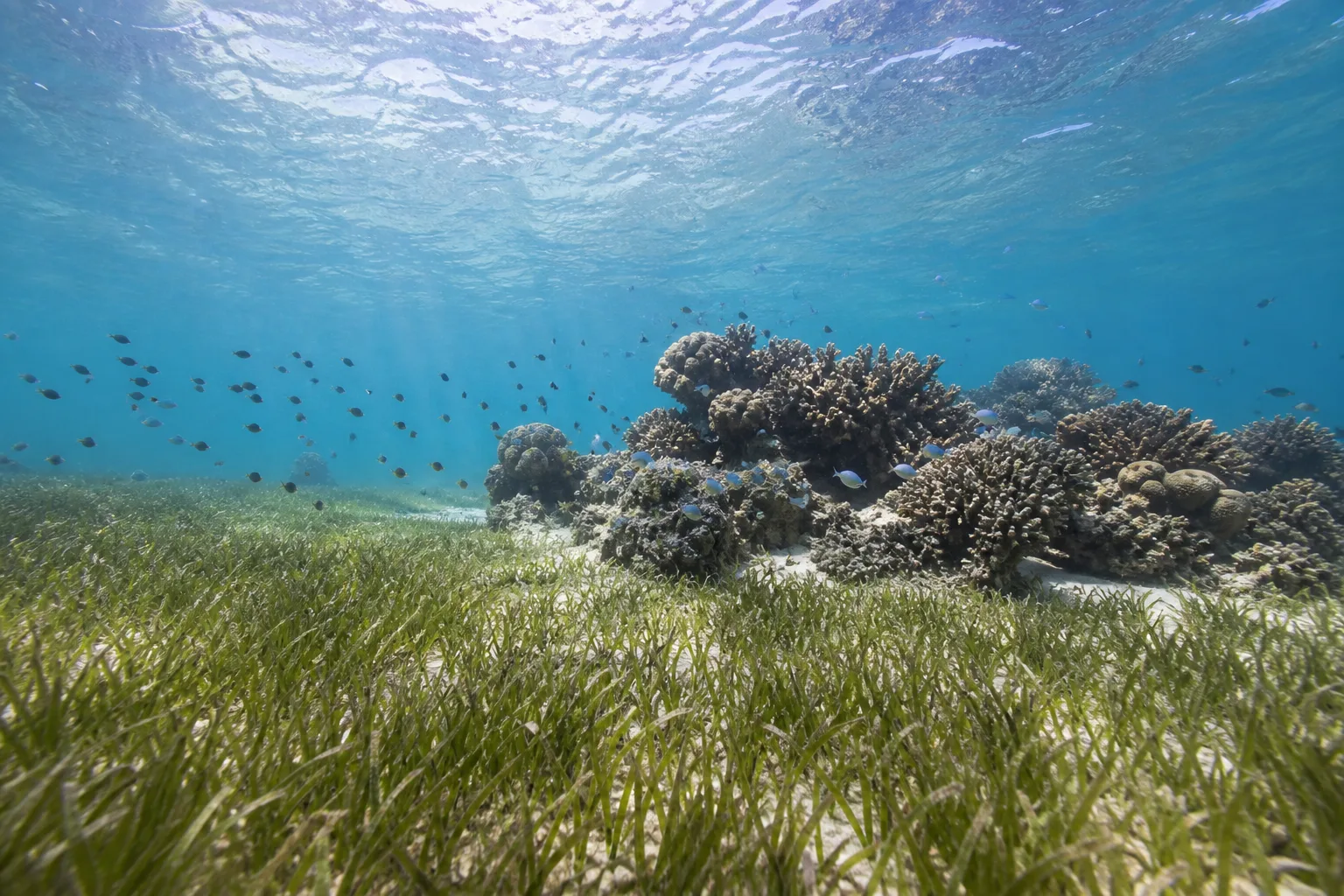
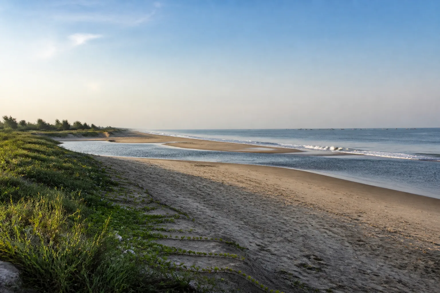
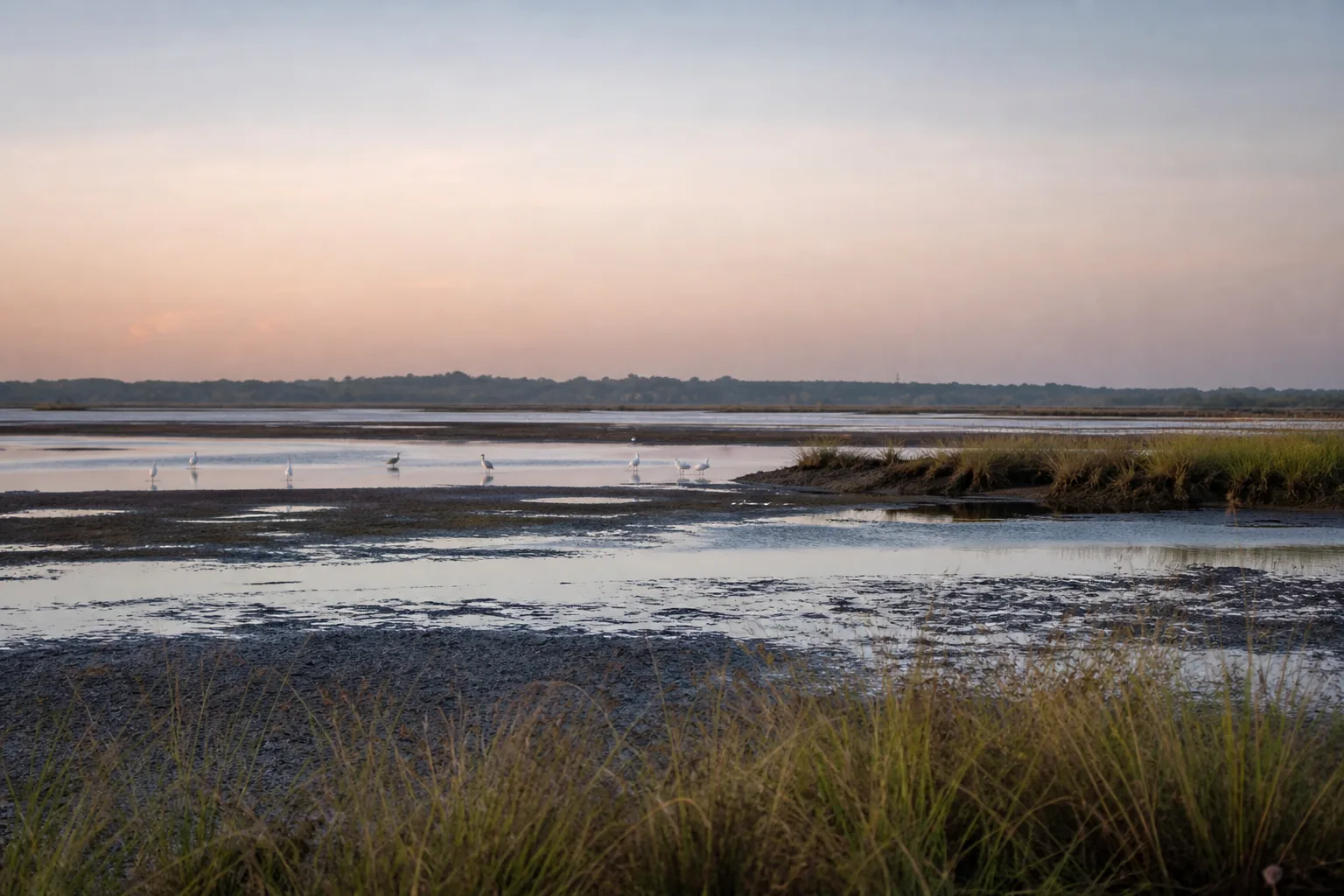
Shallow water, islands, reefs, seagrass, mudflats, beaches, salt marsh and mangrove contexts occur across the wider region.[1] Their distribution is not uniform, and sensitive sites should not be reduced to public map pins.
Nature guide
Gulf, Marine National Park and Biosphere Reserve
Gulf of Mannar Marine National Park is a legally protected marine area associated with a chain of islands. Gulf of Mannar Biosphere Reserve is a wider biosphere context that includes marine and coastal environments and human-use zones.[2][1]
The three names answer different questions: geographic location, protected-area law and wider conservation planning. This page keeps them separate and does not imply that every part of the gulf has the same access rules.
Nature guide
Coral reefs and seagrass meadows
Corals create three-dimensional reef habitat, while seagrass is a flowering-plant ecosystem rooted in shallow seabeds. Both support food webs and are vulnerable to physical disturbance, pollution and changing environmental conditions. Seagrass is not seaweed, and a reef should not be treated as a collection site.
Do not touch or stand on coral, uproot seagrass, collect shells or marine life where restricted, anchor in sensitive habitat or enter the water through unauthorized arrangements. Images on this page are educational interpretations, not evidence of current condition at a named island.
Nature guide
Marine wildlife without encounter promises
Official Tamil Nadu sources document a broad marine fauna and identify dugongs, dolphins, sea turtles and sharks in the wider Gulf of Mannar context.[1] Mentioning their habitat does not promise that a visitor will see them.
Never chase, touch, feed or handle marine animals. Boat operators should follow current legal and site rules. Stranding or entanglement is an authority matter; untrained handling can harm both animal and person.
Nature guide
Islands and restricted access
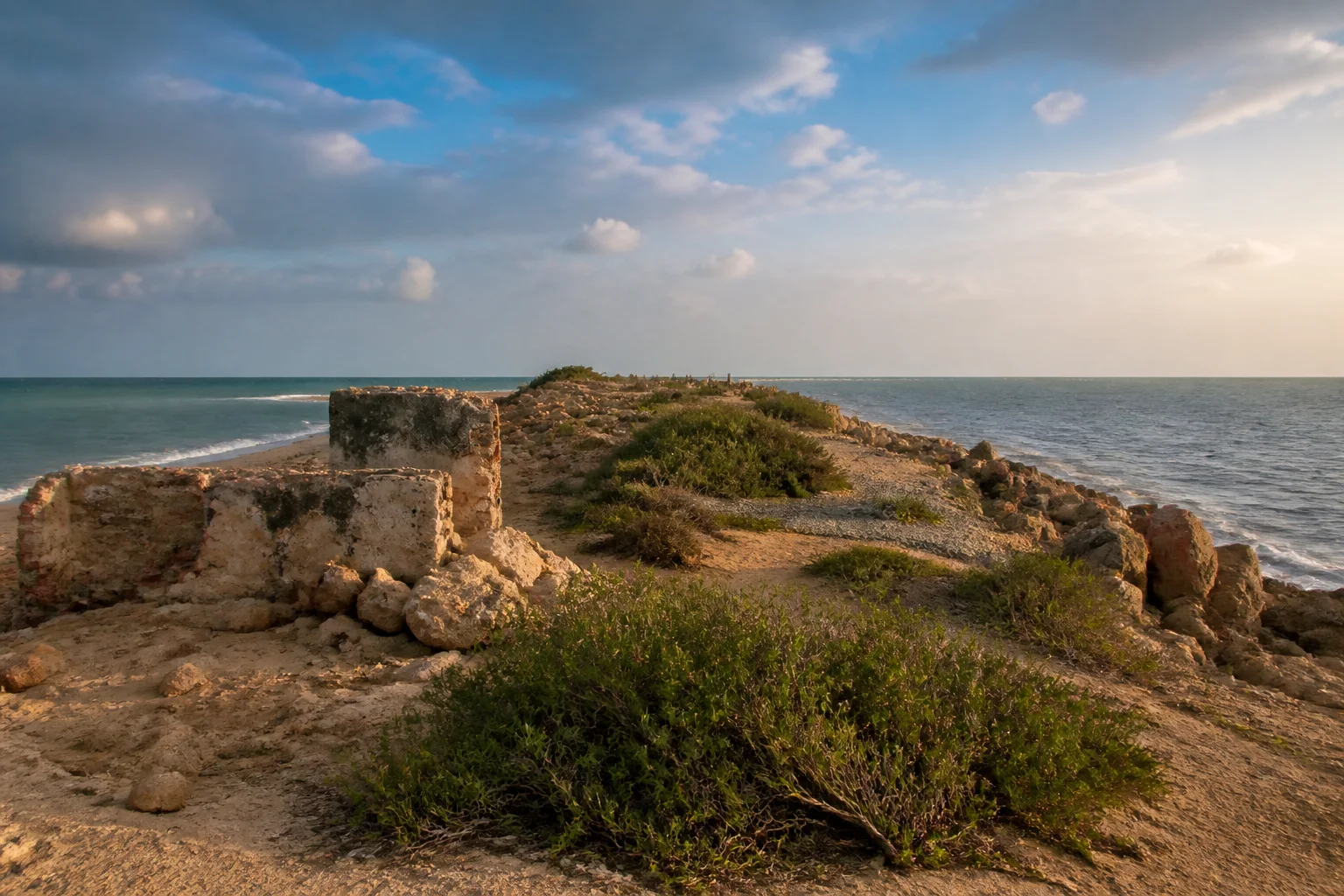
The Marine National Park is associated with 21 islands in official descriptions.[1] This factual count does not make the islands a public itinerary. Conservation zoning, weather and operational rules determine access.
Do not charter an unauthorized boat, land on a restricted island or share sensitive wildlife coordinates. Use only currently authorized visitor services, and accept that a marine trip may be cancelled or changed.
Nature guide
Fishing and coastal communities
The wider biosphere landscape includes communities whose livelihoods and knowledge are tied to fishing, shore work, markets and changing marine conditions. They are participants in the region, not scenic objects.
Keep clear of landing and net-working areas, ask before photographing people and buy services respectfully. Conservation and livelihood questions are complex; visitors should avoid simplistic blame or romantic claims.
Nature guide
Responsible marine travel
Sea state, wind, rain, boat operations and protected-area access are current information. Review IMD coastal warnings and the responsible authority before travel.[4] Do not treat calm water in a photograph as a safety forecast.
Bring sun protection and drinking water, secure waste, use reef-safe practices where applicable, and avoid single-use items where practical. Pair marine interpretation with the Rameswaram, Ramanathapuram and Thoothukudi guides so a weather change does not collapse the entire trip.
Habitat context
Wildlife You May Encounter
These representative examples are supported by the sources on this page. They are not a sighting promise, and sensitive locations are intentionally omitted.
Dugong
Seagrass-associated marine mammal documented in the wider region
No encounter promise; never pursueDolphins
Documented in the wider Gulf context
Use only authorized, non-chasing operationsSea turtles
Marine and coastal habitat context
Do not approach nesting or stranded animalsReef fish
Coral and seagrass food webs
Observe without feeding or collectingSeasonal lens
Nature Through the Year
Conditions vary with rainfall and year. Use the statewide month guides for broad context, then check the responsible authority for current conditions.
Explore Tamil Nadu by Month- Sea conditions
- Weather-dependent
- Coastal visits
- Current warning check
- Planning
- Extra planning recommended
General location only
Open a map handoff
The map opens a broad landscape or visitor destination. It does not reveal nests, dens, breeding areas, restricted islands or sensitive wildlife coordinates.
Private planning tool
Nature Trip Checklist
0 of 8 readySaved only in this browser. No login or personal data is required.
Questions
Frequently asked questions
Is visitor access guaranteed?
No. Protected areas and nature sites can close or change access rules. Check the current Forest Department, district administration or responsible site authority before travelling.
Are wildlife sightings guaranteed?
No. Wildlife is not scheduled and should never be chased. Read these guides as habitat and conservation context, then follow ranger instructions in permitted visitor areas.
Does this page show live weather or road status?
No. This is evergreen ecological and planning information. Use the India Meteorological Department and responsible local authorities for current conditions.
Can I use a drone?
Do not assume that drone use is permitted. Protected areas, coasts and other sensitive sites can have legal and operational restrictions; verify current official rules before carrying or using one.
How should I use Google Maps here?
The map handoff opens a general destination or protected-area search. It deliberately avoids nests, breeding areas, dens, restricted islands and other sensitive wildlife locations.
What is the difference between the Gulf of Mannar Marine National Park and Biosphere Reserve?
The Marine National Park is a legally protected marine area associated with the islands; the Biosphere Reserve is a wider conservation landscape. The Gulf itself is the geographic water body.
Can visitors land on the islands?
Do not assume access. Island and boat rules can change, and some areas are restricted. Use only current authorized guidance.
Media record
Images with explicit provenance
All Phase 10 visuals are project-created editorial interpretations. They support learning and layout but do not document a sighting, current habitat condition or site access.
Editorial trust
Sources & Further Reading
These are the sources actually consulted for this guide. Protected-area, UNESCO, Ramsar, species, habitat and geographic claims are cited inline. Reviewed 9 August 2026.
- Biosphere ReservesTamil Nadu Forest Department · 2026Accessed 9 August 2026
- National ParksTamil Nadu Forest Department · 2026Accessed 9 August 2026
- Environment, Climate Change and Forests Policy Note 2025-26Government of Tamil Nadu · 2025Accessed 9 August 2026
- Coastal Weather BulletinsIndia Meteorological Department · 2026Accessed 9 August 2026
- Wetlands of Tamil NaduTamil Nadu State Wetlands Authority · 2026Accessed 9 August 2026
- Ramsar Sites of Tamil NaduTamil Nadu State Wetlands Authority · 2026Accessed 9 August 2026