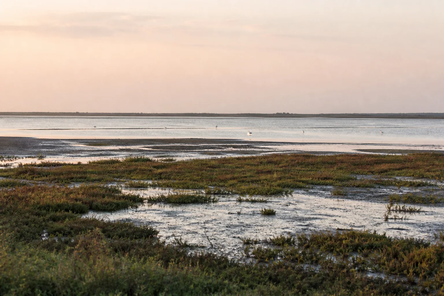
Sanctuary, Ramsar site and wider coastal wetland
Point Calimere and Vedaranyam: Coastal Wetlands and Wildlife
Understand a changing mosaic of forest, grassland, mudflat, saline water and working coast without reducing it to a bird checklist.
Ecological context
Why This Landscape Matters
Point Calimere is also known as Kodikkarai and lies in the Vedaranyam coastal context of present-day Nagapattinam district. The official Ramsar Site name is Point Calimere Wildlife and Bird Sanctuary. Ramsar status, Wildlife Sanctuary status and the wider geographic wetland are related but not synonyms.[1]
On this page
Nature guide
Keep the place names and designations precise
Point Calimere is also known as Kodikkarai and lies in the Vedaranyam coastal context of present-day Nagapattinam district. The official Ramsar Site name is Point Calimere Wildlife and Bird Sanctuary. Ramsar status, Wildlife Sanctuary status and the wider geographic wetland are related but not synonyms.[1]
The Ramsar record covers a large wetland complex that includes sanctuary and Great Vedaranyam Swamp contexts. A place-name search cannot show its legal boundary or permitted visitor areas. Use current Forest Department and site instructions rather than drawing access conclusions from a general map.
Nature guide
A coastal mosaic rather than one lagoon
The landscape includes seasonally changing shallow waters, mudflats, salt-influenced habitat, grassland, scrub and coastal vegetation. Forest and wetland, fresh and saline influence, natural processes and human-shaped salt landscapes meet across the broader system.[1]
Water depth, salinity, exposed mud and vegetation change through seasons and from year to year. This page does not publish live water levels, bird counts, salt-pan access or a fixed best time. A photograph from one date should never be treated as a current-condition report.
Nature guide
What Ramsar designation means here
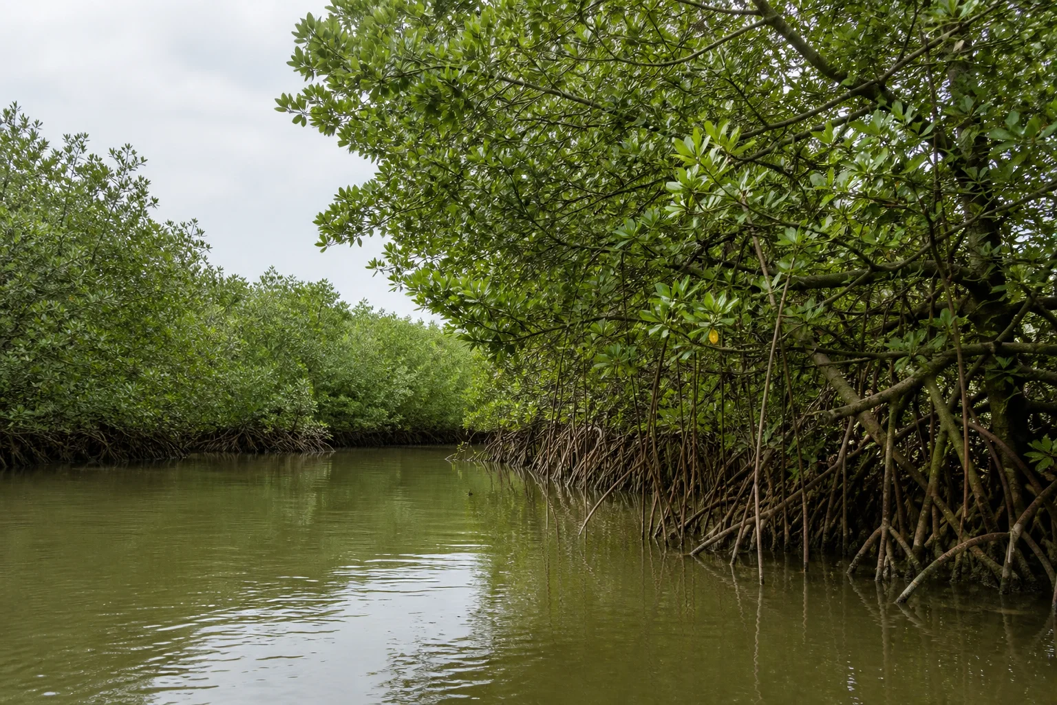
Ramsar identifies a Wetland of International Importance under an international convention. It does not replace Indian protected-area law, create universal public access or mean that every part of the wider Vedaranyam coast has the same status. The official site record is the authority for the Ramsar name, designation and mapped extent.[1][2]
Use 'Ramsar Site' only for the formally listed wetland. Use 'Wildlife and Bird Sanctuary' for the protected-area designation where supported, and 'Vedaranyam wetland landscape' for the broader geographic and working context. This separation matters for accurate conservation writing.
Nature guide
Birds and other representative wildlife
The Ramsar record documents an important waterbird and coastal wildlife context, while official district material identifies the sanctuary as a place of conservation significance.[1][4] Representative references may include flamingos, pelicans, shorebirds, blackbuck and sea turtles, but their presence varies and no encounter is promised.
Observe from permitted areas with binoculars. Do not approach flocks, use playback, cross mudflats, enter nesting areas or seek close photographs. Keep distance from all wildlife and avoid precise geotags for sensitive observations.
Nature guide
Salt, fishing and coastal livelihoods
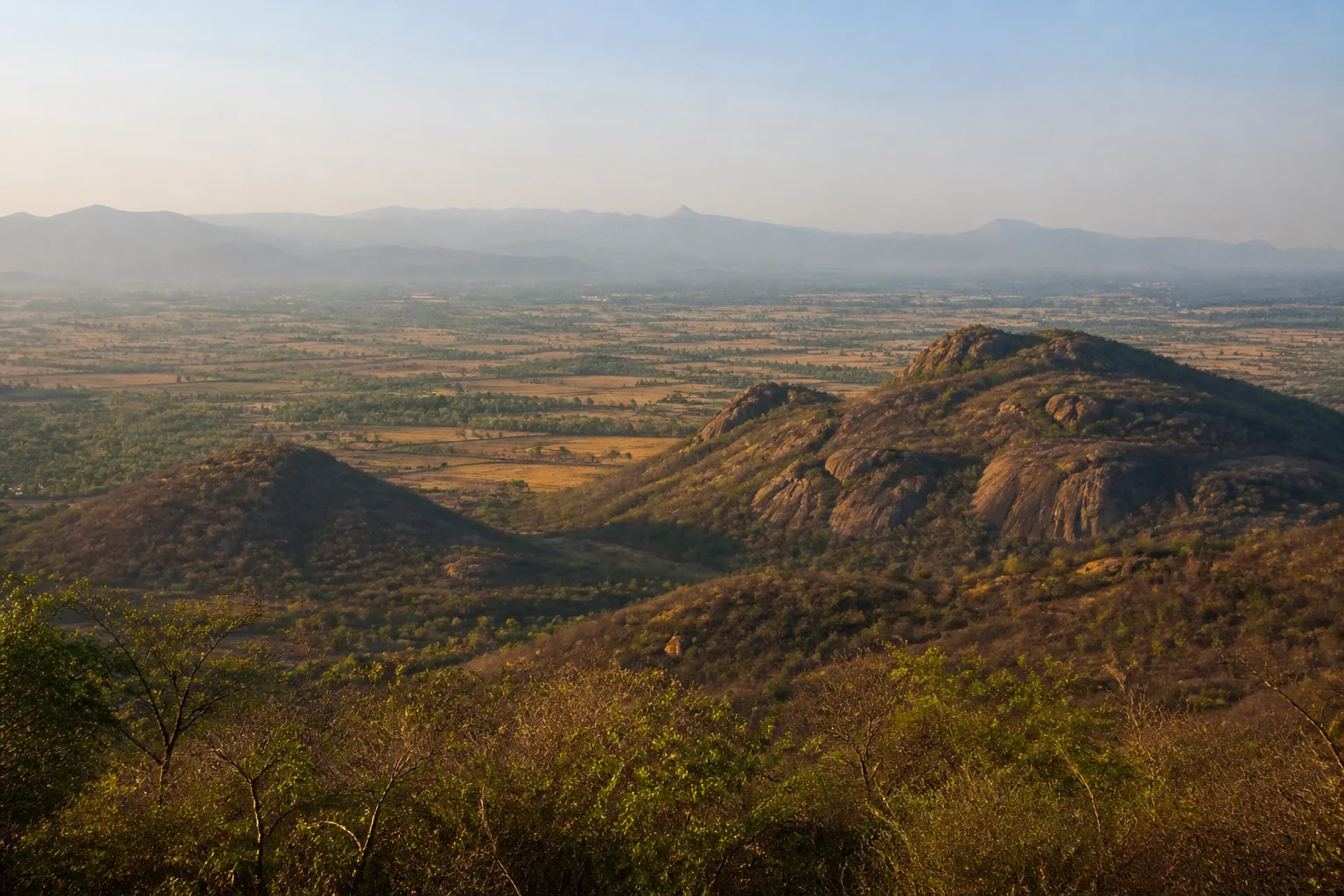
The wider Vedaranyam landscape includes salt production, fishing, settlements and other forms of work alongside conservation areas. These are not decorative backdrops. Access may be private, regulated or operationally unsafe even when a track appears on a map.
Keep clear of salt-working and fishing activity, ask before photographing people and do not enter pans, bunds or landing areas without permission. Responsible interpretation recognizes that wetland hydrology, livelihoods and conservation decisions interact in complex ways.
Nature guide
Water, monsoon and coastal exposure
The wetland responds to rainfall, evaporation, tidal and saline influence and management across the broader landscape. Coastal storms, heavy rain, heat and strong wind can affect roads and access. Bird presence also varies with water conditions and migration, so a month cannot guarantee either abundance or visibility.
Check IMD weather and coastal warnings, district notices and Forest Department guidance close to travel.[7][8] Do not enter floodwater, storm-exposed shore or closed wetland areas because an older itinerary recommends them.
Nature guide
Plan quiet, low-impact observation
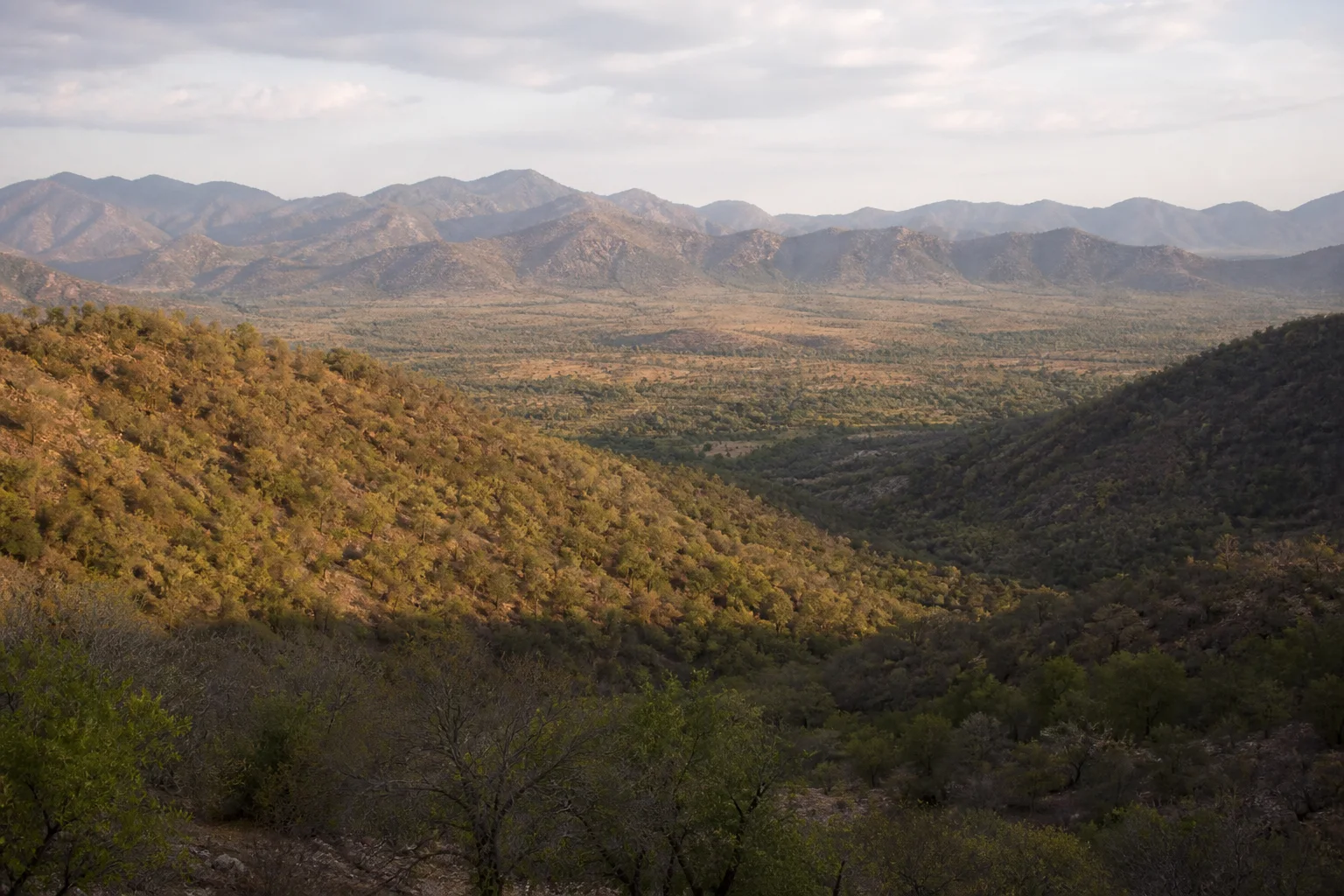
Begin with the official visitor point or current local authority, not an unverified pin. Carry binoculars, sun protection and drinking water. Stay on permitted paths and viewing areas, keep voices low and avoid food or waste that attracts animals.
No boat, guide, gate, timing, fee or viewing platform is promised here. Current arrangements must be confirmed separately. If water or bird activity is limited, read the habitat, vegetation and working landscape rather than seeking an unauthorized alternative.
Nature guide
Connect the wetland to Nagapattinam district
The district guide places Point Calimere and Vedaranyam within a larger coast-and-delta journey that also includes towns, sacred centres and working landscapes. Do not combine Nagore, Velankanni, Nagapattinam town and Vedaranyam as if they were one compact stop; road time and current conditions matter.
Use the Birdwatching and Wetlands guide for statewide comparisons, By Month for qualitative seasonality and Nagapattinam district for administration and nearby places. These connections provide a useful trip even when wetland access changes.
Habitat context
Wildlife You May Encounter
These representative examples are supported by the sources on this page. They are not a sighting promise, and sensitive locations are intentionally omitted.
Flamingos
Shallow saline wetland context
Seasonal presence varies; never approach flocksShorebirds
Mudflat and shallow-water feeding habitat
Observe from established areasBlackbuck
Grassland and scrub context
No sighting is guaranteedSea turtles
Wider coastal habitat
Do not approach nesting or stranded animalsSeasonal lens
Nature Through the Year
Conditions vary with rainfall and year. Use the statewide month guides for broad context, then check the responsible authority for current conditions.
Explore Tamil Nadu by Month- Landscape
- Strong seasonal interest
- Conditions
- Weather-dependent
- Planning
- Verify current access
General location only
Open a map handoff
The map opens a broad landscape or visitor destination. It does not reveal nests, dens, breeding areas, restricted islands or sensitive wildlife coordinates.
Private planning tool
Nature Trip Checklist
0 of 10 readySaved only in this browser. No login or personal data is required.
Questions
Frequently asked questions
Does this guide provide live access information?
No. Access, roads, permits, boat services and visitor arrangements can change. Confirm current conditions with the responsible Forest Department, district administration or site authority.
Are wildlife or bird sightings guaranteed?
No. Species are included only as representative habitat context. Never chase an encounter, approach wildlife or enter a restricted area for a photograph.
Can I rely on the map for protected-area boundaries?
No. The map handoff is a broad public place-name search, not a legal boundary, trail, gate or permission map. Use current official instructions.
Does the page publish sensitive wildlife locations?
No. Nests, breeding areas, dens, movement routes and other sensitive coordinates are deliberately omitted.
What should I verify close to travel?
Check weather, road conditions, access, permits, official warnings and any local restrictions. Keep an alternative plan if conditions change.
Is the whole Vedaranyam coast a Ramsar Site?
No. Ramsar status applies to the officially mapped Point Calimere Wildlife and Bird Sanctuary site. The wider coast contains other landscapes and land uses.
Is bird presence predictable?
No. Water, weather, migration and disturbance affect presence. Visit for the wetland habitat and observe quietly without expecting a checklist.
Media record
Images with explicit provenance
All Phase 10 visuals are project-created editorial interpretations. They support learning and layout but do not document a sighting, current habitat condition or site access.
Editorial trust
Sources & Further Reading
These are the sources actually consulted for this guide. Protected-area, UNESCO, Ramsar, species, habitat and geographic claims are cited inline. Reviewed 22 August 2026.
- Point Calimere Wildlife and Bird Sanctuary RISRamsar Sites Information Service · 2002Accessed 22 August 2026
- Ramsar Sites of Tamil NaduTamil Nadu State Wetlands Authority · 2026Accessed 22 August 2026
- Wetlands of Tamil NaduTamil Nadu State Wetlands Authority · 2026Accessed 22 August 2026
- Point Calimere Wildlife SanctuaryNagapattinam District Administration · 2026Accessed 22 August 2026
- Forests, wildlife and conservation in Tamil NaduTamil Nadu Forest Department · 2026Accessed 22 August 2026
- Environment, Climate Change and Forests Policy Note 2025-26Government of Tamil Nadu · 2025Accessed 22 August 2026
- Regional Meteorological Centre ChennaiIndia Meteorological Department · 2026Accessed 22 August 2026
- Coastal Weather BulletinsIndia Meteorological Department · 2026Accessed 22 August 2026