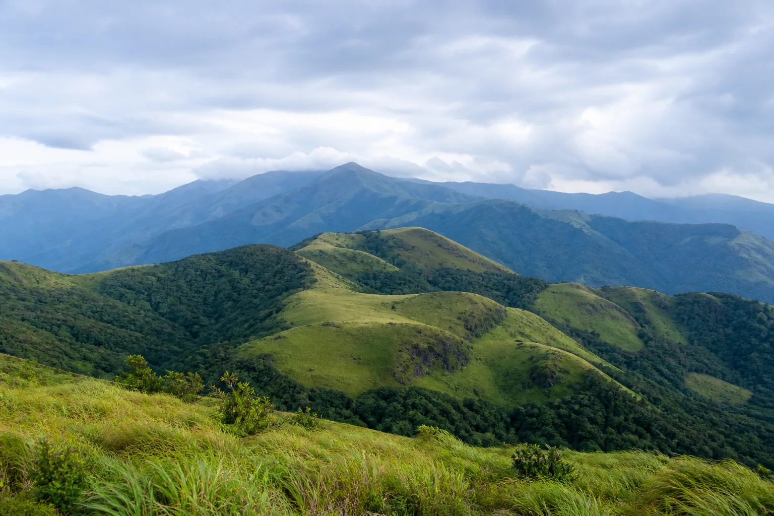
Beaches, waterfalls and scenic outdoor places
Outdoor Discovery in Tamil Nadu
Choose a coast, waterfall, hill, forest or waterside landscape, then continue to the strongest existing guide and verify real-world conditions before leaving.
A practical discovery layer
Start with the kind of outdoor place you want
This hub reuses the verified Nature registry but has a different job: it helps you choose a practical outdoor direction. Nature remains the place for ecosystems and conservation context; Attractions remains place-led; Things to Do remains activity-led.
No result confirms live weather, water flow, sea state, swimming or bathing rules, road access, forest entry, trekking permission, closure status or wildlife presence.
Curated outdoor collection
Find an outdoor place
Filters change only this page. No search or filter combination creates an indexable URL.
Chennai Urban Coast
An urban Bay of Bengal shore shaped by settlement, rivers, infrastructure, public space and changing sea conditions.
Chennai
Conditions and access require a current check.
Mahabalipuram Heritage Coast
A coastal heritage setting where monument visiting and shore conditions require separate forms of planning.
Chengalpattu
Conditions and access require a current check.
Rameswaram Island Coast
A low island landscape between Palk Bay and Gulf of Mannar contexts where wind, sea and access conditions require current checks.
Ramanathapuram
Conditions and access require a current check.
Kanniyakumari Coast
A far-southern rocky and sandy coastal context whose exposed seafront conditions should be checked close to travel.
Kanniyakumari
Conditions and access require a current check.
Deltaic and Estuarine Coast
A shifting coastal context of river mouths, sediment, wetlands, fishing livelihoods and exposure to weather.
Cauvery delta and adjoining coast
Conditions and access require a current check.
Courtallam Waterfall Landscape
A Western Ghats catchment and waterfall context whose flow, access and safety depend on recent conditions and official instructions.
Tenkasi
Conditions and access require a current check.
Hogenakkal and the Kaveri
A Kaveri river and falls landscape that requires current district guidance rather than permanent assumptions about water or access.
Dharmapuri
Conditions and access require a current check.
Suruli Falls Context
A Theni district waterfall associated with a Western Ghats catchment; recent rainfall and local controls remain decisive.
Theni
Conditions and access require a current check.
Silver Cascade Context
A roadside waterfall context near Kodaikanal where stopping, flow and access should never be assumed from an older travel account.
Dindigul
Conditions and access require a current check.
Western Ghats in Tamil Nadu
A mountain system read through rainfall gradients, watersheds, forest mosaics and specific UNESCO serial components rather than one destination label.
Western Tamil Nadu
Conditions and access require a current check.
Nilgiris Upland Landscape
Northern Western Ghats uplands where shola-grassland, forests, settlements and protected landscapes form a connected regional context.
The Nilgiris
Conditions and access require a current check.
Anamalai Hills
A southern Western Ghats hill system of steep terrain, forests, watersheds, cultivated uplands and protected-area contexts.
Coimbatore and Tiruppur context
Conditions and access require a current check.
Palani Hills
An eastern spur of the Western Ghats whose upper landscapes include Kodaikanal, forest, grassland and watershed contexts.
Dindigul and Theni context
Conditions and access require a current check.
Udhagamandalam (Ooty)
An established Nilgiris hill town best understood within a wider upland landscape rather than as a generic cool-weather destination.
The Nilgiris
Conditions and access require a current check.
Kodaikanal
A Palani Hills town linked to upland forest, lake, viewpoint and watershed contexts, with current weather and access requiring separate checks.
Dindigul
Conditions and access require a current check.
Yercaud
A Shevaroy Hills destination that belongs to an Eastern Ghats context, not the Western Ghats.
Salem
Conditions and access require a current check.
Shola-Grassland Mosaic
Interdependent patches of montane evergreen forest and grassland that support water, soil and specialized upland habitat.
Higher Western Ghats
Conditions and access require a current check.
Evergreen and Semi-Evergreen Forest Context
Moist forest formations whose distribution changes with elevation, rainfall, exposure and disturbance.
Moist Western Ghats slopes
Conditions and access require a current check.
Mudumalai Tiger Reserve
A protected Nilgiris landscape connected ecologically beyond district and state boundaries; wildlife presence never guarantees a sighting.
The Nilgiris
Conditions and access require a current check.
Anamalai Tiger Reserve
A protected Anamalai landscape approached through official visitor systems and habitat context rather than promised animal encounters.
Coimbatore and Tiruppur context
Conditions and access require a current check.
Vedanthangal Bird Sanctuary
A protected tank and bird-sanctuary context whose Ramsar designation is documented separately; water and bird presence vary.
Chengalpattu
Conditions and access require a current check.
Pallikaranai Marsh Reserve Forest
An urban marsh and Reserve Forest with documented Ramsar status, understood as a living wetland rather than a sighting checklist.
Chennai
Conditions and access require a current check.
Point Calimere Wildlife and Bird Sanctuary
A coastal wetland and sanctuary context with official Ramsar documentation; observation must remain within permitted areas.
Nagapattinam
Conditions and access require a current check.
Pulicat Lake and Lagoon Context
A cross-boundary lagoon and coastal wetland context where hydrology, fisheries, settlement and birdlife are connected.
Tiruvallur coastal context
Conditions and access require a current check.
Gulf of Mannar
A marine landscape of shallow waters, islands, seagrass and reef habitats whose geographic and protected-area terms must remain distinct.
Ramanathapuram and Thoothukudi coast
Conditions and access require a current check.
No exact matches found
Try an alternate spelling, choose a broader type or clear the map filter.
Continue with the right tool
Move from discovery to context and planning
Outdoor planning questions
What this collection can and cannot tell you
Does a beach card confirm swimming safety?
No. A beach or coast label is neutral discovery language. Check current sea conditions, local warnings and on-site instructions.
Does a waterfall card confirm flow or access?
No. Rainfall, water level, barriers, district controls and access can change. Never cross barriers or climb wet rocks.
Does a forest or hill result confirm trekking permission?
No. Use permitted visitor areas and verify current Forest Department or responsible-authority rules.
Why are some records not mapped?
Map links appear only when the existing Phase 21A registry has a reviewed public destination or gateway. No coordinate is invented for this hub.