Understand why a synchronized survey matters
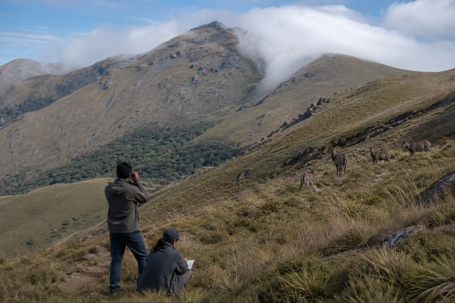
Nilgiri tahr occupy separated high-elevation landscapes across parts of the southern Western Ghats. If teams visit different areas in unrelated seasons with different methods, their observations are difficult to compare. Synchronization narrows some of those differences by coordinating timing, field protocols and reporting across the animal's range.
Tamil Nadu's Project Nilgiri Tahr identifies standardized synchronized surveys as one part of a broader conservation program. The 2026 state report was released on World Environment Day alongside other wildlife assessments. A report release confirms a scientific exercise; it does not turn every reported number into a live count.
Population estimation asks how many animals the evidence supports under stated methods and assumptions. It is not the same as adding every animal seen by every observer. Teams must address repeated observations, areas that cannot be surveyed equally and animals present but not detected.
Sources for this section: 2026 report release, Project Nilgiri Tahr.
Separate a sighting from an estimate
A direct sighting is a field observation at a particular place and time. An estimate combines observations through a defined analytical approach to describe a wider population. The quality of that estimate depends on sampling design, observer effort, visibility, terrain and the probability that an animal present was actually detected.
Open grassland can make tahr appear easy to count, but steep slopes, fog, broken ridges and animal movement create blind areas. Group size can be difficult to judge at distance, and two teams may see the same group from different angles. Standardized recording and later validation help reduce those errors.
When reading a survey headline, look for the survey period, geographic coverage, method and uncertainty. Avoid comparing two totals as if they prove an exact increase or decline unless the reports used comparable areas and methods. A changed estimate may reflect both biological change and improved detection.
Sources for this section: Project Nilgiri Tahr, Nilgiri tahr assessment.
Keep mountain grassland at the center
Nilgiri tahr are associated with steep montane grassland and rocky terrain within the Western Ghats. The habitat is not empty scenery around the animal. Grass structure, cliffs, water, shola edges, fire history, invasive plants and disturbance influence where groups can feed, rest, move and reproduce.
The state project includes grassland restoration and work on invasive plants among its objectives. That framing matters because a population number without habitat condition can conceal future risk. An apparently stable count in fragmented or degrading habitat does not remove the need for long-term management.
Connectivity also deserves careful language. Separate hill complexes may contain tahr populations with limited movement between them. Public articles should discuss landscape linkage at a broad scale without publishing sensitive routes, nursery areas or precise coordinates that could increase disturbance.
Sources for this section: Project Nilgiri Tahr, Nilgiri tahr assessment.
See the survey as one tool in a larger project
Project Nilgiri Tahr was designed as a multi-year program rather than a one-day census. Its published objectives include understanding distribution and ecology, selected telemetry research, population and habitat viability assessment, habitat restoration, threat response, staff capacity and possible reintroduction to suitable historical habitat.
Each tool answers a different question. Surveys describe distribution and abundance under a protocol; telemetry can illuminate movement and habitat use for a small number of animals; vegetation work addresses habitat condition; veterinary investigation addresses health. No single component substitutes for the others.
Reintroduction language requires particular caution. A stated project objective is not proof that animals have been released at every historical site, that a proposed site is suitable or that visitors should seek it. Such work requires ecological, veterinary, legal and long-term monitoring decisions by responsible institutions.
Sources for this section: Project Nilgiri Tahr, TNGCC publications.
Do not turn a survey map into a wildlife chase
A published assessment should improve conservation understanding, not direct crowds toward animals. Do not request unpublished coordinates, leave legal trails, climb restricted slopes or use drones to locate groups. Keep a long distance and increase it immediately when animals stop feeding, bunch together or move away.
No route on this website guarantees a Nilgiri tahr sighting. Weather, season, visibility, habitat use and access all vary, and some important populations occur in protected or operational landscapes where visitor movement is controlled. Follow current Forest Department rules and local staff instructions.
A responsible mountain visit remains worthwhile without the animal. Notice grassland, shola patches, rock, wind, cloud and evidence of restoration while avoiding trampling and litter. That landscape-first approach reduces pressure to approach wildlife for proof that a trip succeeded.
Sources for this section: Tamil Nadu Forest Department, Nilgiri tahr assessment.
Read future population headlines with five questions
First ask what area was covered and what was excluded. Second ask whether the timing and method match the previous comparison. Third look for effort, detection and uncertainty. Fourth examine habitat and threat findings. Fifth distinguish recommendations from work already completed.
Avoid calculating a precise annual growth rate from two rounded public totals unless the technical reports support that comparison. A percentage can look authoritative while ignoring survey design. Prefer the report's own interpretation and retain qualifiers when summarizing it for travel or general readers.
Finally, record the report year. The 2026 assessment is a dated evidence source, not a permanent population dashboard. Later surveys may refine the estimate or method. Good conservation communication makes that revision possible without treating scientific improvement as contradiction.
Sources for this section: 2026 report release, Project Nilgiri Tahr.
Sources & Further Reading
These authoritative references support the historical, geographic, or seasonal context in this story. Current conditions and operating details still require a fresh official check.
- World Environment Day 2026 · Tamil Nadu State Wetlands Authority
- Project Nilgiri Tahr Booklet · Tamil Nadu Green Climate Company
- Reports and Publications · Tamil Nadu Green Climate Company
- Tamil Nadu Forest Department · Government of Tamil Nadu
- Nilgiritragus hylocrius Species Assessment · IUCN Red List
- Nilgiri Tahr · Zoological Survey of India
Related Stories
The Western Ghats of Tamil Nadu: Through Hills, Forests and Living Landscapes
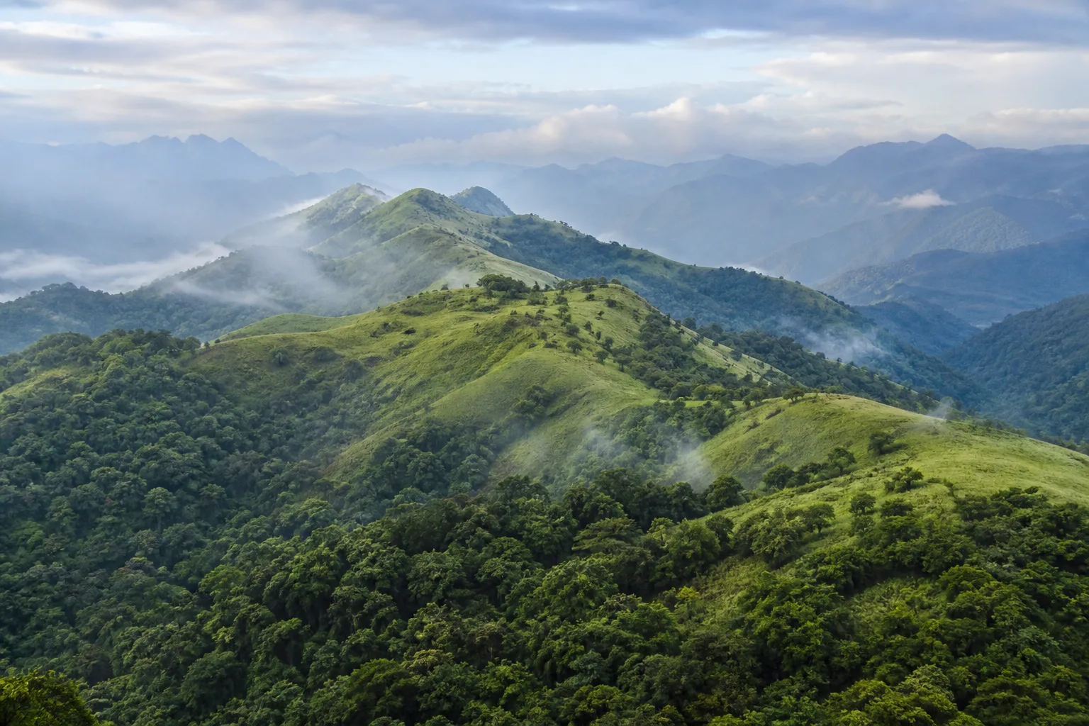
A mountain journey through the Nilgiris, Anamalai and Palani Hills, reading elevation, forest, water, wildlife habitat and human settlement as one connected landscape.
Frequently asked questions
Is a Nilgiri tahr survey an exact head count?
It is a population-estimation exercise shaped by coverage, method, visibility and detection. Read the technical context rather than treating one total as exact and live.
Does the 2026 report show where visitors can find tahr?
It should not be used that way. Do not seek sensitive coordinates or enter restricted habitat, and no sighting is guaranteed.
Is Project Nilgiri Tahr only a census program?
No. Its published objectives also include ecology, habitat restoration, threat response, staff capacity, selected telemetry and conservation planning.
Editorial attribution
Prepared and reviewed by My Tamil Nadu Editorial Desk. Modified 4 September 2026.