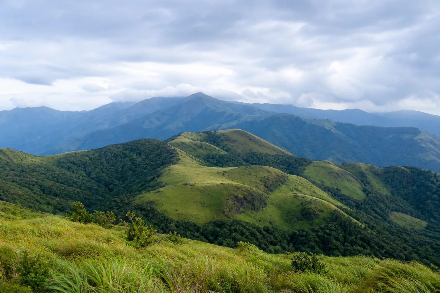
A mountain system, not a single destination
Western Ghats in Tamil Nadu: Mountains, Forests and Biodiversity
Understand the Tamil Nadu portion of the Western Ghats through terrain, rainfall, forest mosaics, watersheds, communities and precisely described World Heritage components.
Ecological context
Why This Landscape Matters
The Western Ghats run broadly parallel to India's western coast and cross several states. In Tamil Nadu they include distinct northern, central and southern hill systems rather than one tourism circuit. The Nilgiris rise where the Western and Eastern Ghats contexts meet; the Anamalai and Palani hills form major southern uplands; farther south, the highlands connect into Agasthyamalai landscapes. Names describe geographic systems whose ecological and administrative edges require careful reading.
On this page
Nature guide
A long mountain system
The Western Ghats run broadly parallel to India's western coast and cross several states. In Tamil Nadu they include distinct northern, central and southern hill systems rather than one tourism circuit. The Nilgiris rise where the Western and Eastern Ghats contexts meet; the Anamalai and Palani hills form major southern uplands; farther south, the highlands connect into Agasthyamalai landscapes. Names describe geographic systems whose ecological and administrative edges require careful reading.
Altitude and exposure change moisture, temperature, soil and vegetation. Windward slopes may receive strong seasonal rain while eastern slopes and adjoining plains can be markedly drier. This is why a single photograph of green hills does not explain the Ghats: nearby slopes can support different forest types, grasslands, cultivation and settlements.
Nature guide
Shola and grassland as one mosaic
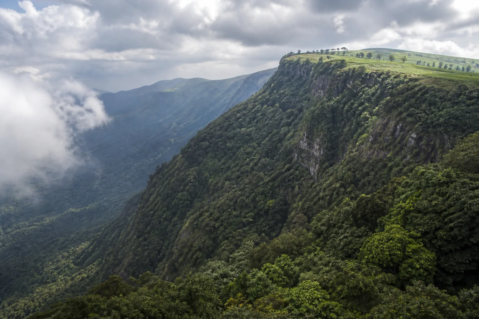
At higher elevations, compact evergreen shola forest occurs in sheltered folds among montane grassland. The two formations work as a mosaic rather than as competing scenery. Forest patches provide shaded, moist habitat while grasslands intercept weather across exposed ridges; together they influence headwater streams and support specialized plants and animals.[2]
The landscape has also been altered by roads, settlements, plantations, invasive plants and other land uses. Visitors should not interpret every open slope as natural grassland or every tree-covered area as native shola. Ecological restoration and access decisions belong to responsible authorities and specialists, not to casual off-trail exploration.
Nature guide
Nilgiris, Anamalai, Palani and the far south
The Nilgiris combine high plateaus, shola-grassland, steep forested slopes and drier eastern connections. The Anamalai Hills descend through strong elevation gradients and include forests, cultivated plateaus and the legally defined Anamalai Tiger Reserve. The Palani Hills include Kodaikanal and surrounding uplands in Dindigul district. Agasthyamalai belongs to the southern Western Ghats and should be approached through verified protected-area and district context.
These names are not interchangeable with districts or protected areas. A hill system can cross administrative lines; a tiger reserve has a notified boundary; a town such as Ooty, Kodaikanal or Valparai is a settlement within a broader landscape. Keeping those layers separate produces better travel choices and more accurate conservation language.
Nature guide
What UNESCO inscribed
The Western Ghats World Heritage property is serial: UNESCO describes 39 component parts across four states under a range of protection regimes.[1] In Tamil Nadu, component areas occur within particular protected or reserved landscapes. The inscription does not convert every Western Ghats slope, plantation, town or road in the state into World Heritage property.
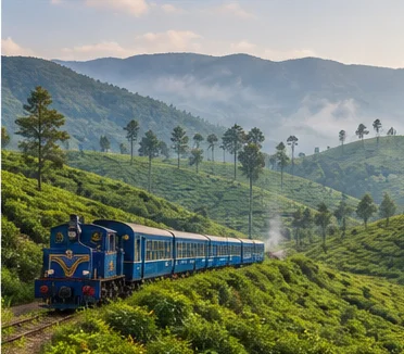
For visitors, the useful lesson is not to chase a boundary marker. Use public interpretation at established destinations, respect protected-area limits and understand that biodiversity depends on connections extending beyond an individual component. The Nilgiri Mountain Railway is a separate cultural World Heritage property and should not be used as proof that all surrounding nature has the same designation.
Nature guide
Watersheds and connected plains
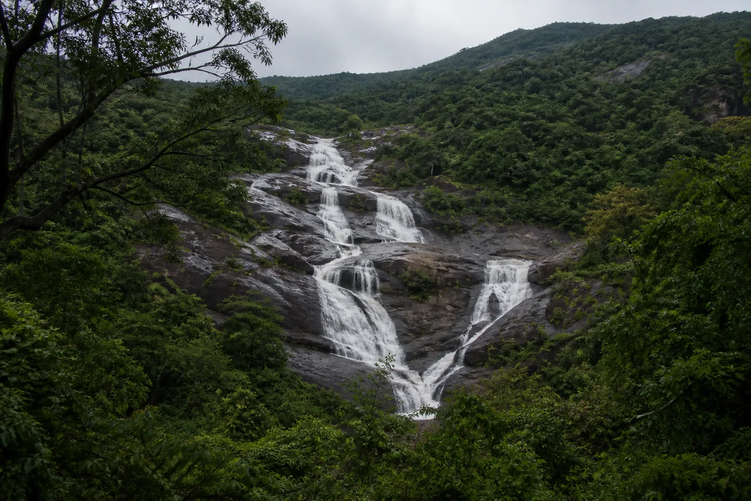
Ghats catchments feed streams and rivers that support reservoirs, irrigation, settlements and ecosystems downstream. Forest cover, grassland condition, soils and drainage all influence how water moves. Waterfall appearance alone cannot reveal catchment health, and a dry or forceful cascade is not a simple calendar event.
This watershed view connects upland travel with responsibility in the plains. Waste, erosion, unauthorized fire, off-trail driving and disturbance at headwaters have consequences beyond a viewpoint. Following permitted routes is therefore part of water and habitat care, not merely a visitor rule.
Nature guide
People in a lived landscape
The Western Ghats are not an empty wilderness. Indigenous and other local communities, farmers, estate workers, town residents, forest staff and researchers live and work across different parts of the hills. Their histories and rights cannot be reduced to tourist colour, and community settlements are not attractions.
Ask before photographing people, buy local goods without intrusive bargaining, use established public facilities and avoid sharing sensitive community or forest locations. Conservation questions can include livelihood, access, human-wildlife interaction and historical land use; they deserve context rather than simplistic conflict stories.
Nature guide
Experience the Ghats responsibly
Ooty and Kodaikanal provide established destination infrastructure for understanding upland scenery, while district guides place them in the Nilgiris and Dindigul contexts. Mudumalai and Anamalai require a protected-landscape approach: check Forest Department instructions, use permitted visitor systems and accept that access may change.
Conditions vary with rainfall and year. Review hill weather, road information and visibility before travel; do not stop on unsafe bends; do not enter unofficial forest tracks; and use authorized trekking routes where permission is required. A slow viewpoint, interpreted walk or museum can communicate more than an improvised route into sensitive habitat.
Seasonal lens
Nature Through the Year
Conditions vary with rainfall and year. Use the statewide month guides for broad context, then check the responsible authority for current conditions.
Explore Tamil Nadu by Month- Landscape
- Strong seasonal interest
- Conditions
- Weather-dependent
- Planning
- Verify current access
General location only
Open a map handoff
The map opens a broad landscape or visitor destination. It does not reveal nests, dens, breeding areas, restricted islands or sensitive wildlife coordinates.
Private planning tool
Nature Trip Checklist
0 of 7 readySaved only in this browser. No login or personal data is required.
Questions
Frequently asked questions
Is visitor access guaranteed?
No. Protected areas and nature sites can close or change access rules. Check the current Forest Department, district administration or responsible site authority before travelling.
Are wildlife sightings guaranteed?
No. Wildlife is not scheduled and should never be chased. Read these guides as habitat and conservation context, then follow ranger instructions in permitted visitor areas.
Does this page show live weather or road status?
No. This is evergreen ecological and planning information. Use the India Meteorological Department and responsible local authorities for current conditions.
Can I use a drone?
Do not assume that drone use is permitted. Protected areas, coasts and other sensitive sites can have legal and operational restrictions; verify current official rules before carrying or using one.
How should I use Google Maps here?
The map handoff opens a general destination or protected-area search. It deliberately avoids nests, breeding areas, dens, restricted islands and other sensitive wildlife locations.
Which part of the Western Ghats is in Tamil Nadu?
Tamil Nadu includes several Western Ghats hill systems, including the Nilgiris, Anamalai and Palani hills and southern highland contexts. Their geographic, district and protected-area boundaries are not identical.
Is the whole Tamil Nadu Western Ghats a World Heritage Site?
No. UNESCO's Western Ghats property is made of specific component parts within a serial property.
Media record
Images with explicit provenance
All Phase 10 visuals are project-created editorial interpretations. They support learning and layout but do not document a sighting, current habitat condition or site access.
Editorial trust
Sources & Further Reading
These are the sources actually consulted for this guide. Protected-area, UNESCO, Ramsar, species, habitat and geographic claims are cited inline. Reviewed 9 August 2026.
- Western GhatsUNESCO World Heritage Centre · 2012Accessed 9 August 2026
- Nilgiri Biosphere ReserveUNESCO Man and the Biosphere Programme · 2026Accessed 9 August 2026
- Forests, wildlife and conservation in Tamil NaduTamil Nadu Forest Department · 2026Accessed 9 August 2026
- India State of Forest Report: Tamil NaduForest Survey of India · 2019Accessed 9 August 2026
- Tiger ReservesTamil Nadu Forest Department · 2026Accessed 9 August 2026
- Environment, Climate Change and Forests Policy Note 2025-26Government of Tamil Nadu · 2025Accessed 9 August 2026