Begin with a mountain system, not a list of hill stations
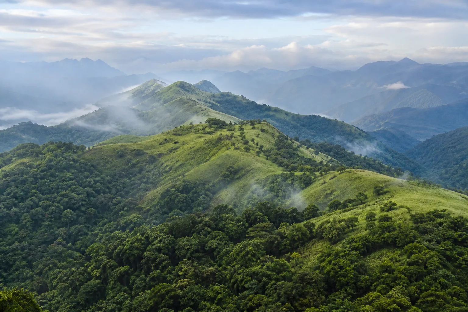
Seen from Tamil Nadu's plains, the Western Ghats can look like a single green wall. On the ground they are a sequence of plateaus, escarpments, valleys, ridges and passes. Elevation changes temperature, moisture, vegetation and visibility over short distances. A road may leave a dry interior landscape, climb through cultivated slopes and arrive among cloud, grassland and forest. That physical variation is the beginning of the story: Ooty, Valparai and Kodaikanal are not interchangeable cool-weather destinations but settlements within different parts of a much larger mountain system.
UNESCO's Western Ghats World Heritage property recognises selected component landscapes across several states for exceptional biodiversity and evolutionary importance. The designation does not turn the whole range into one park, and it does not mean every public viewpoint lies inside a World Heritage component. Tamil Nadu's mountain country also includes national parks, wildlife sanctuaries, tiger reserves, reserve forests, working estates, farms, towns and village lands under different authorities. Responsible exploration begins by asking what kind of place you are entering rather than assuming that every green slope is open recreation space.
Sources for this section: UNESCO Western Ghats, Tamil Nadu forest policy note.
The Nilgiris: high ground where several landscapes meet
The Nilgiris form Tamil Nadu's best-known highland district, yet the familiar image of tea slopes and a hill-town lake shows only part of the terrain. High-elevation grasslands and shola forest patches, lower forested slopes, cultivated land and dense settlements occur within a connected mosaic. The shola-grassland relationship matters because sheltered forest and open montane grassland perform different ecological work. Treating every open slope as empty land or every wooded patch as the same forest erases the structure that supports water, plants and animal movement.
Ooty can be a useful public base for learning, but a town visit should not be mistaken for unrestricted access to the wider Nilgiri landscape. Roads cross working communities and approach sensitive habitat; viewpoints can face mist, traffic or temporary controls; and forest entry depends on current rules. Look closely at the transition between town, garden, plantation and remnant native habitat. That comparison reveals how colonial-era land use, modern tourism, agriculture and conservation now occupy the same mountain region without reducing the Nilgiris to either untouched wilderness or a decorative resort.
Sources for this section: Tamil Nadu biosphere reserves, The Nilgiris District.
Read shola and grassland together
At high elevations in the southern Western Ghats, compact evergreen forest can occupy sheltered folds while grassland spreads across exposed slopes. The result is not a forest that failed to cover the mountain. It is a landscape pattern shaped by climate, topography, fire histories and long ecological change. Forest edges offer shelter and structural complexity; grasslands hold specialised plant communities and influence how water moves across the uplands. Both can be degraded when converted, fragmented or treated as spare land.
For a visitor, the lesson is practical. A sweeping grassland photograph may conceal the sensitivity of soil, nesting areas, small wetlands or an animal route. Leaving a permitted path for a cleaner frame can widen erosion and repeated trampling. Playing calls, feeding animals or sharing precise locations for a rare species changes observation into disturbance. The landscape can be understood without collecting proof of a sighting: notice vegetation height, exposure, drainage, cloud movement and the sharp shift in light and temperature at a forest edge.
Sources for this section: UNESCO Western Ghats, Tamil Nadu forest policy note.
Anamalai: forest, plantation and settlement in close contact
South of the Nilgiris, the Anamalai hills rise through Tamil Nadu and Kerala with extensive forest landscapes and major protected-area context. Around Valparai, plantation estates, roads, settlements and forest edges sit unusually close together. That proximity makes the hills visually legible but ecologically demanding. An animal crossing a road is not performing for traffic, and an estate track is not public merely because it appears on a digital map. The most responsible journey recognises boundaries, avoids roadside congregation and keeps wildlife encounters accidental rather than targeted.
Anamalai also complicates the idea that conservation happens only behind a gate. Habitat connection can depend on how roads, power lines, farms, estates and settlements are managed around protected land. Visitors contribute at a modest scale by driving slowly where instructed, never blocking a crossing, reducing noise and choosing authorised public locations. No article can promise a sighting or certify a current safari, trail or forest route. The permanent Anamalai guide therefore separates ecological context from the official checks needed immediately before travel.
Sources for this section: Tamil Nadu national parks, Tamil Nadu biosphere reserves, Valparai.
The Palani Hills: a different highland rhythm
The Palani Hills form another important Tamil Nadu highland, with Kodaikanal as their most familiar urban centre. The town's lake, wooded roads and viewpoints make it easy to organise a compact visit, but the wider hills include steep catchments, villages, farms and varied vegetation. Their relationship to the Western Ghats is geographic and ecological, not a licence to describe every planted tree as native forest or every dramatic ravine as accessible wilderness. Place names, elevations and land histories matter.
A useful Palani Hills journey reads the town as part of a watershed. Rain falling on high ground does not remain within a postcard boundary; it enters channels, soils and downstream systems. Built surfaces, waste, slope disturbance and water demand therefore have effects beyond the visitor district. Stay within public routes, avoid unofficial cliff approaches and verify road or trail conditions locally. Cloud, water flow and visibility are current conditions, not permanent attributes that an evergreen story can guarantee.
Sources for this section: Kodaikanal, Tamil Nadu forest policy note.
Mountains work as water landscapes
The Western Ghats influence where rain falls and how water reaches rivers, reservoirs, wetlands, farms and towns. Forest soil, grassland, rock, slope and small drainage lines all affect the timing and direction of that movement. Calling the mountains water towers is useful only if it leads beyond a slogan: water depends on intact catchments, while downstream demand and engineering also reshape the system. One clear viewpoint cannot show the full watershed, and one rainy week cannot establish long-term water security.
Visitors can read water without entering it. Look for the direction of a valley, the position of a settlement below a ridge, the way vegetation follows a drainage line and the difference between a natural channel and a managed reservoir edge. Never infer bathing safety, waterfall access or drinking quality from appearance. Rainfall, releases, barriers and local restrictions are volatile. Use the By Month guides for seasonal orientation and official weather or district sources for the conditions that actually govern a visit.
Sources for this section: UNESCO Western Ghats, IMD Chennai.
Wildlife is a habitat relationship, not a guaranteed encounter
The Western Ghats support exceptional biological diversity, including species with restricted ranges, but a species list can become misleading when detached from habitat. Animals use forest interiors, edges, grasslands, streams and movement corridors at different scales. Their presence may be seasonal, nocturnal, hidden or altered by disturbance. A responsible article therefore avoids promising elephants near a road, a particular endemic bird at a viewpoint or any other encounter that could encourage pursuit.
Observe from authorised public settings and accept distance. Binoculars are more useful than food, playback calls or a closer approach. If wildlife appears near traffic, do not stop in a way that blocks movement or creates a crowd. Keep coordinates for sensitive observations out of public posts. The most valuable experience may be indirect: tracks interpreted by an authorised naturalist, a canopy shape, a warning sign, a fruiting tree or the silence required to hear a habitat rather than a checklist.
Sources for this section: UNESCO Western Ghats, Tamil Nadu national parks.
Hill settlements are communities, not scenery
Tamil Nadu's Western Ghats are lived landscapes. Towns, villages, farms, plantations, markets, schools, sacred places and transport routes shape daily life across the hills. A visitor who describes every cultivated slope as environmental loss misses complex labour and land histories; a visitor who treats every commercial estate as timeless tradition misses ecological change. Good interpretation holds both realities together and avoids speaking for Indigenous or local communities without direct, responsible sourcing.
Respect begins with ordinary conduct. Do not photograph workers or residents without consent, trespass for a landscape image, obstruct buses on narrow roads or turn a quiet village into an improvised picnic site. Buy local goods without demanding a performance of authenticity. Questions about community rights, historical displacement or conservation conflict require specialist reporting and voices beyond a general travel article. This story flags that limit rather than filling it with an attractive simplification.
Sources for this section: Tamil Nadu forest policy note.
Use protected-area language precisely
A biosphere reserve, tiger reserve, national park, wildlife sanctuary, reserve forest and UNESCO World Heritage component are not synonyms. They arise from different legal or international frameworks, can overlap, and may have different boundaries and management purposes. Even a correct designation does not answer whether a road, trail, viewpoint or visitor facility is open today. Naming the authority and designation is part of factual travel writing, not administrative clutter.
The Nilgiri Biosphere Reserve provides a broad transboundary conservation context, while individual protected areas within the wider mountains have their own notifications and management. UNESCO recognition applies to the inscribed serial property's components and values; it does not replace national or state protection. Before publishing or sharing a claim, check the responsible Forest Department or institutional source. Before visiting, check again for current permissions, closures and safety instructions.
Sources for this section: UNESCO Western Ghats, Tamil Nadu biosphere reserves, Tamil Nadu national parks.
Build a mountain journey around restraint
A useful Western Ghats itinerary chooses one or two bases and spends more time understanding transitions. In the Nilgiris, combine town and district context with permitted landscape observation. Around Anamalai, let current official access determine whether a forest-related activity belongs in the plan. In the Palani Hills, keep viewpoints conditional and include town, food and cultural time that remains worthwhile in cloud or rain. Long daily transfers can turn a mountain journey into continuous road exposure.
Carry water in a reusable bottle, take waste back to a managed disposal point, keep speakers off and avoid single-use picnic debris. Do not enter water, forest or estate land because a social post labels it hidden. Use public toilets and established businesses rather than leaving a trace at an informal stop. Responsible travel is not a promise of purity; it is a series of smaller decisions that reduce pressure and make room for residents, workers, worshippers and wildlife.
Sources for this section: Tamil Nadu forest policy note.
Use maps and planning tools without mistaking them for permission
My Tamil Nadu Maps can help locate reviewed public destinations and broad gateways. The Trip Planner can connect interests, days and existing guides. Neither tool certifies a forest road, trail, safari, viewpoint, weather window or wildlife location. A digital route proves only that software can draw a line. Permission, surface condition, operating status and safety belong to the responsible authority and the present day.
Before departure, check the India Meteorological Department, the relevant district administration and the Tamil Nadu Forest Department or protected-area authority. Confirm transport and accommodation directly. In the hills, repeat the check before each weather-sensitive day because conditions can differ across elevations. If access is closed or unclear, choose an established town, museum, garden, temple, food or landscape alternative rather than searching for an unofficial path. A flexible journey is not incomplete; it is better aligned with a living mountain system.
Sources for this section: IMD Chennai, Tamil Nadu forest policy note.
Passes connect ecological regions and human journeys
The Western Ghats are a barrier only from a distance. Passes, gaps and river valleys have long connected Tamil Nadu's interior with western landscapes, shaping movement, trade, language, pilgrimage and modern transport. A mountain road therefore belongs to more than tourism. It may be a daily route for residents, freight, buses, emergency services and estate work. Stopping on a bend for mist or an animal can disrupt a connection on which communities depend.
Read a pass through changing vegetation and land use rather than speed. Notice where a dry slope gives way to denser canopy, where cultivation follows gentler ground and where settlement concentrates around a junction. Do not infer that a minor-looking road is quiet or public throughout. Current restrictions, heavy rain, maintenance and wildlife movement can alter how a connection works. A route chosen on a map still needs responsible local verification.
Sources for this section: Tamil Nadu forest policy note.
Slow observation reveals more than a species checklist
A mountain landscape changes by hour without becoming a live attraction schedule. Cloud lifts from one ridge while another closes; insects become audible after rain; a forest edge catches light before the valley floor. Staying in one authorised place long enough to notice these changes can produce a richer account than racing between viewpoints. Record weather as an observation at that moment, never as a promise for the next visitor.
Use a notebook to separate what you saw from what a guide or source explains. Sketch a ridge profile, note the direction of water and identify broad vegetation only when confidence is justified. Avoid geotagging sensitive species or inviting others to an informal wildlife stop. Careful uncertainty is an editorial strength: the Western Ghats become more meaningful when the observer admits what requires expert identification or a current authority.
Sources for this section: UNESCO Western Ghats, Tamil Nadu national parks.
Sources & Further Reading
These authoritative references support the historical, geographic, or seasonal context in this story. Current conditions and operating details still require a fresh official check.
- Western Ghats · UNESCO World Heritage Centre
- Forests and Environment Department Policy Note 2025-2026 · Government of Tamil Nadu
- Biosphere Reserves · Tamil Nadu Forest Department
- National Parks · Tamil Nadu Forest Department
- The Nilgiris District · District Administration, Government of Tamil Nadu
- Valparai · Coimbatore District Administration, Government of Tamil Nadu
- Kodaikanal · Dindigul District Administration, Government of Tamil Nadu
- Regional Meteorological Centre Chennai · India Meteorological Department
Related Stories
From the Western Ghats to the Coast: Reading Tamil Nadu's Connected Landscapes
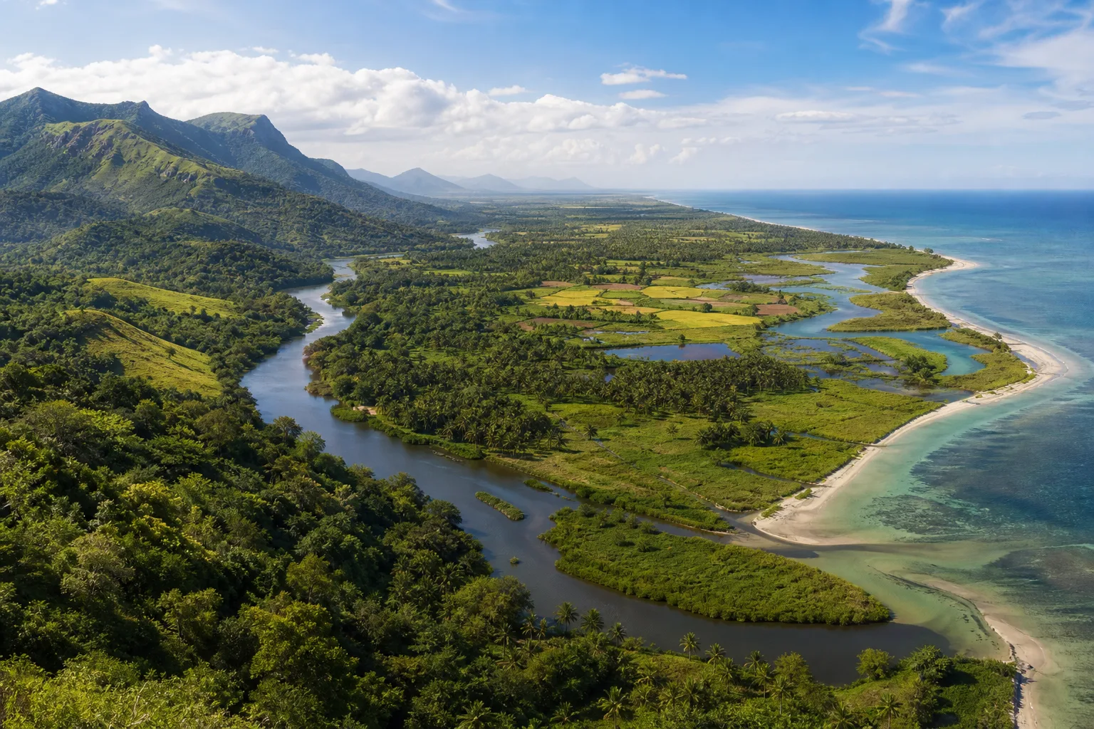
Follow water and habitat from the Western Ghats through forests, wetlands and deltas to Tamil Nadu's eastern coast and marine shallows.
Tamil Nadu in the Late Southwest Monsoon: Where to Travel in August and September
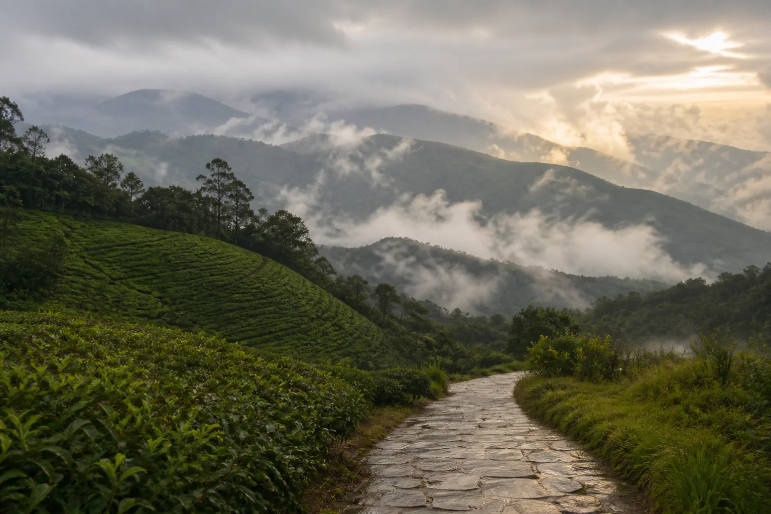
A weather-aware way to choose between Tamil Nadu's hills, heritage cities, waterfalls, and coast during August and September.
From the Western Ghats to the Eastern Ghats: Reading Tamil Nadu's Mountain Landscapes
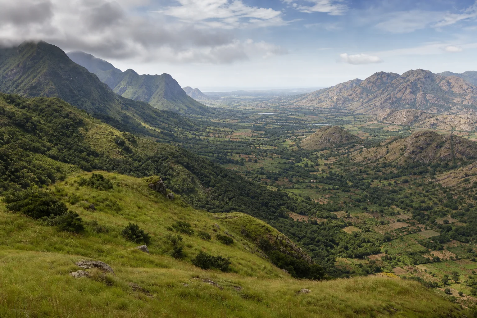
A comparative journey through Tamil Nadu's high western wall and broken eastern ranges, connecting mountains with monsoon, habitats, settlement and travel.
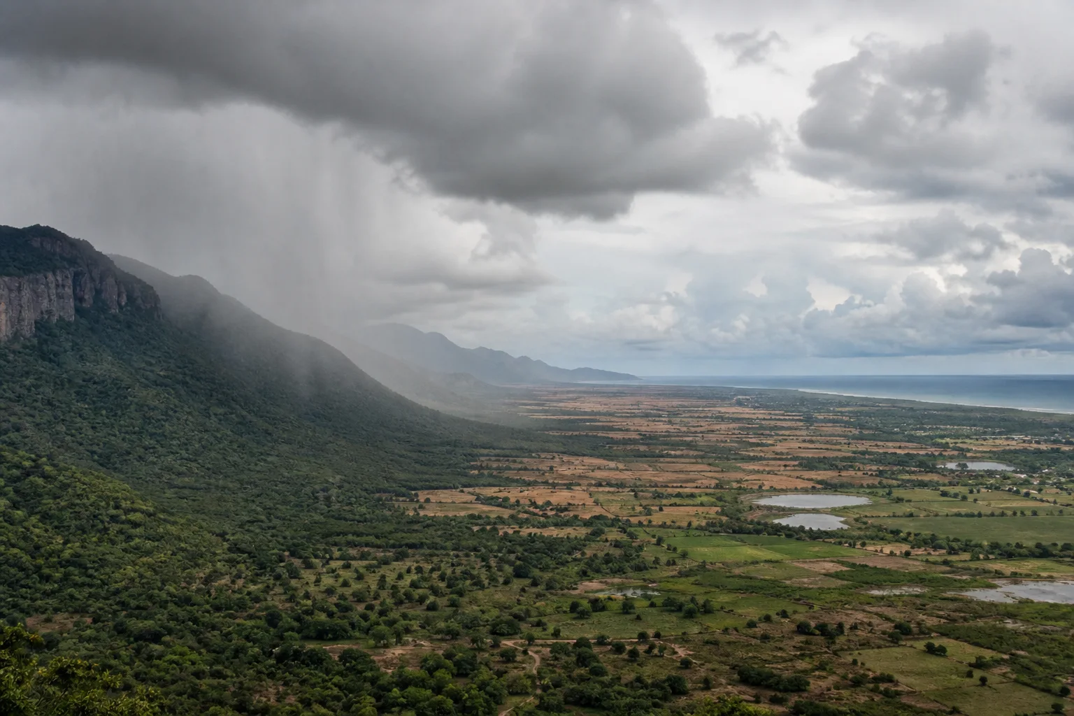
Why Tamil Nadu Has Two Monsoon Seasons: Southwest and Northeast Rain Explained
A geographic explanation of why Tamil Nadu's rain story differs from much of India, and why coast, interior and western hills cannot share one seasonal rule.
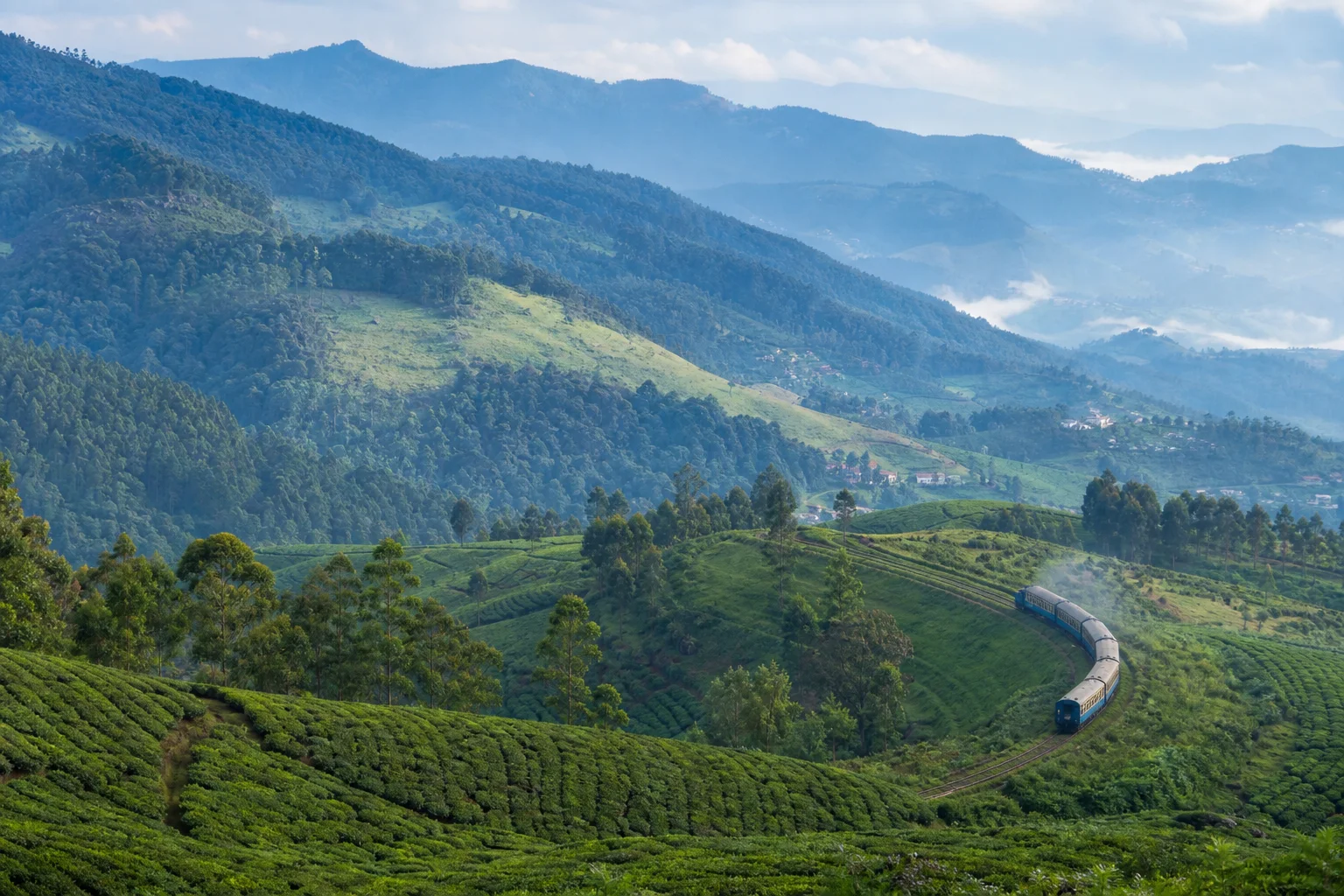
Ooty, Coonoor or Kotagiri: How to Choose a Nilgiris Base
A practical, non-ranking comparison of the Nilgiris' three best-known hill towns for first visits, slower stays, rail interest and landscape-led travel.
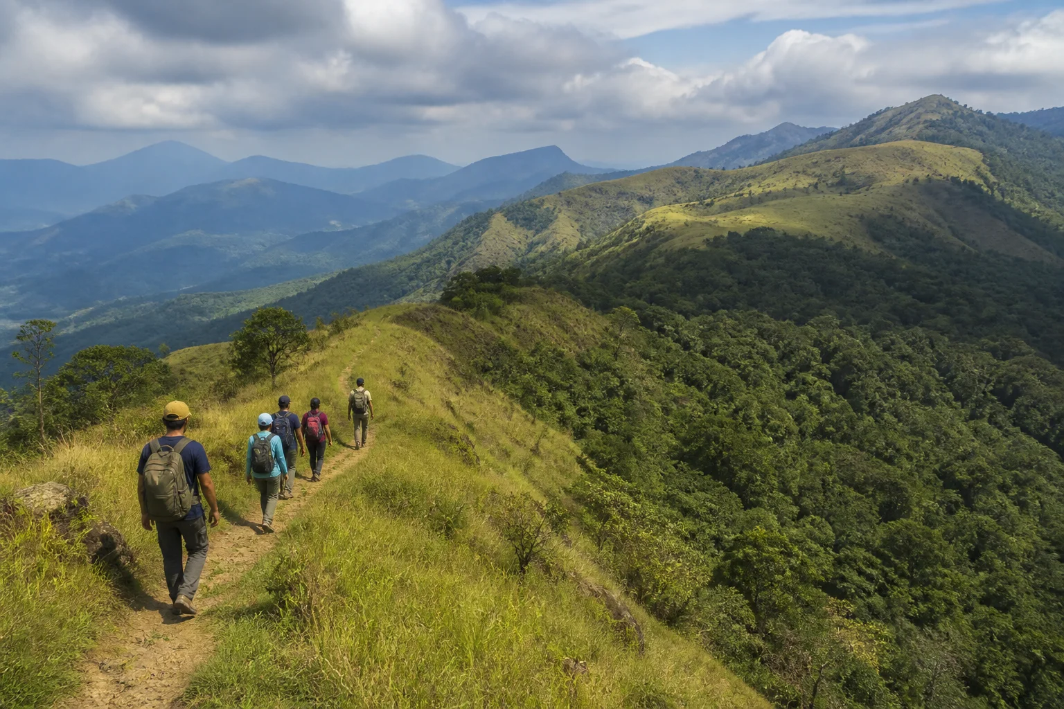
Trek Tamil Nadu: How to Choose Your First Official Trail
A decision guide for matching fitness, terrain and expectations to the official guided trekking framework in Tamil Nadu's forest landscapes.
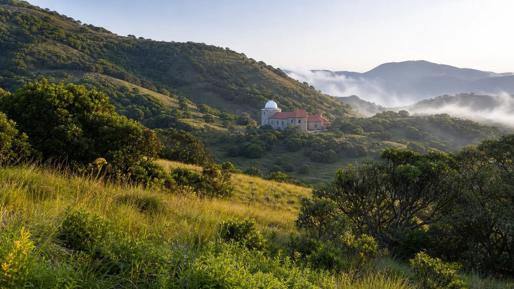
Kodaikanal Beyond the Lake: Shola, Grassland and Solar Science
A hill-station guide that connects Kodaikanal's familiar town landscape with Palani Hills ecology and more than a century of solar observation.
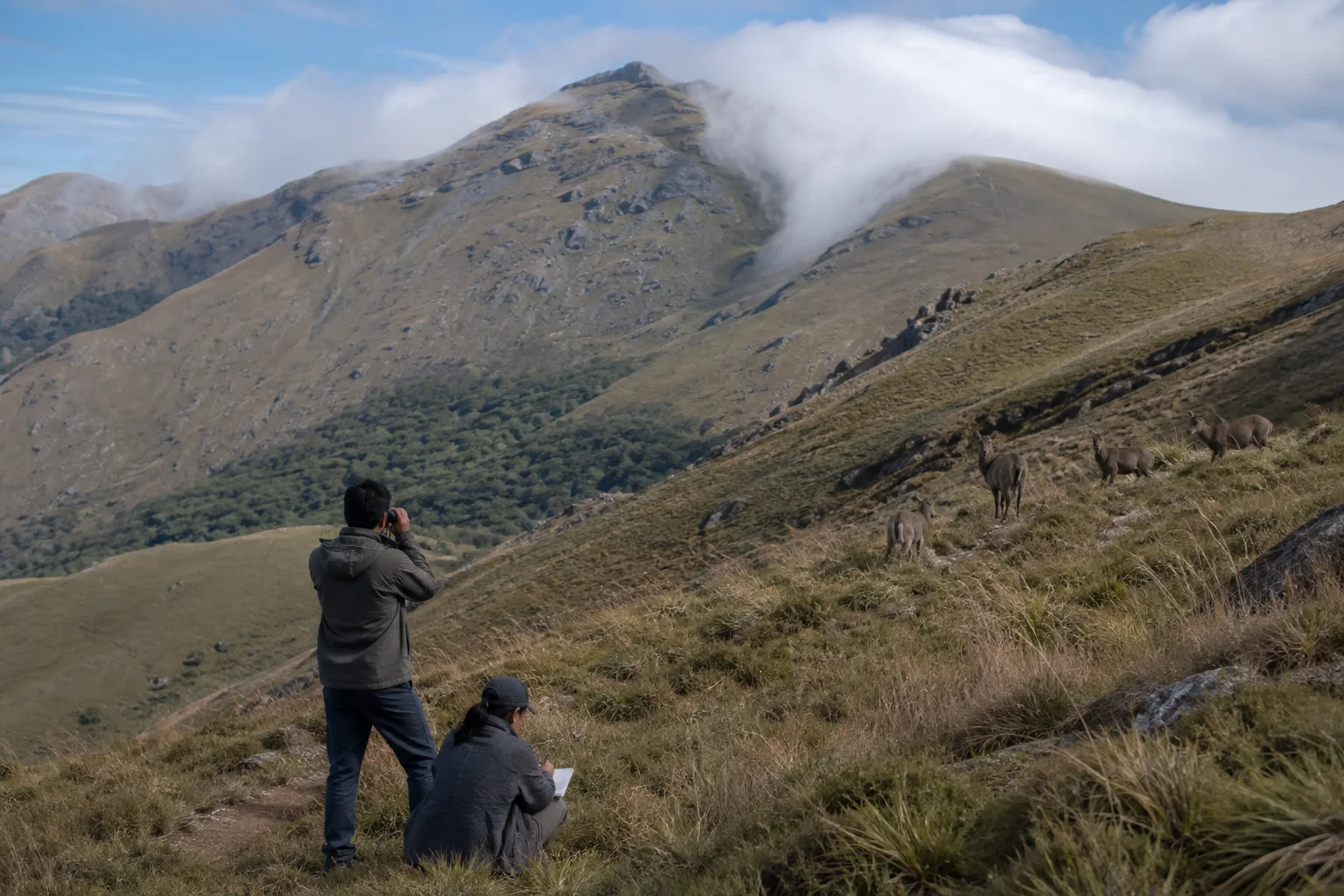
Nilgiri Tahr Survey: How Conservation Counts a Mountain Animal
A method-first guide to population estimates, mountain grassland, uncertainty and responsible wildlife observation in the Western Ghats.
Frequently asked questions
Are the Western Ghats only in Tamil Nadu?
No. The range extends through several Indian states. This story focuses on Tamil Nadu landscapes and their connections within the wider mountain system.
Will I see wildlife in the Nilgiris or Anamalai?
No sighting can be promised. Observe only from authorised settings, keep distance and never use food, calls or sensitive coordinates to pursue wildlife.
Does a UNESCO listing mean every Western Ghats viewpoint is protected or open?
No. UNESCO's serial property has defined components, while national parks, sanctuaries, forests, towns and private lands have distinct boundaries and authorities. Current access needs separate verification.
When is the best time to visit?
Seasonal patterns differ by elevation and year. Use the month guides for orientation, then check current official forecasts, road information and access rules close to travel.
Editorial attribution
Prepared and reviewed by My Tamil Nadu Editorial Desk. Modified 20 August 2026.