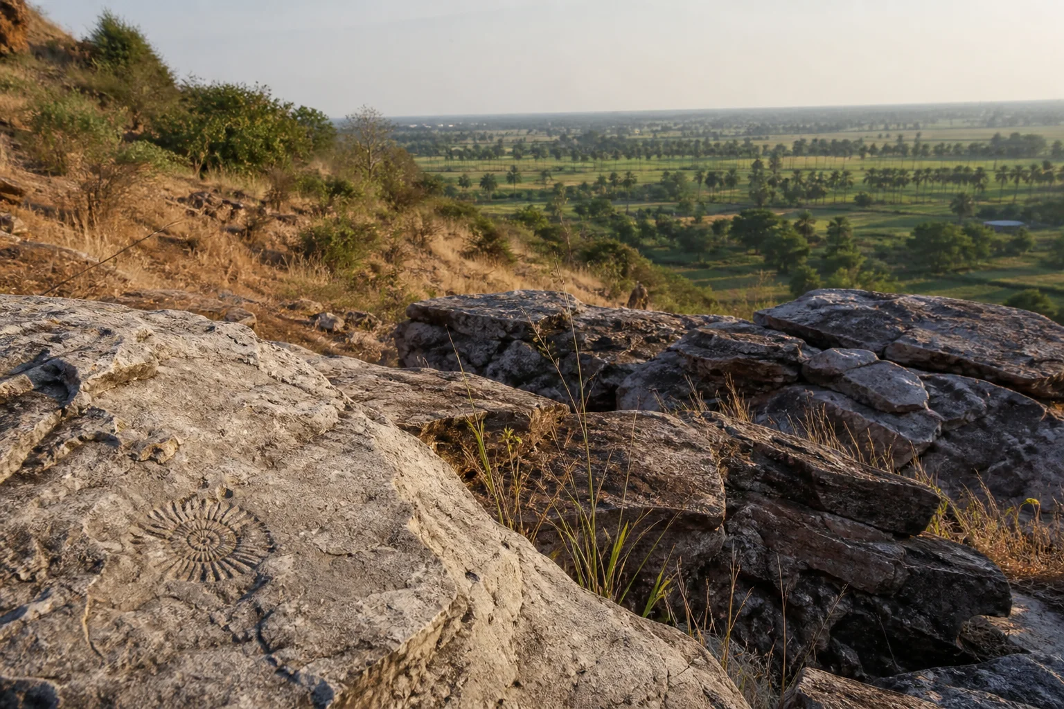
Cretaceous rocks, Chola heritage and central Tamil landscapes
Ariyalur District: Fossils, Heritage and Ancient Landscapes
Ariyalur district brings together fossil-bearing sedimentary landscapes, limestone and cement production, irrigated and rain-fed agriculture, living temple towns, Karaivetti wetland and the medieval Chola capital landscape at Gangaikondacholapuram. Fossils record ancient life and environments; excavated walls, ceramics and inscriptions record human history. This guide keeps those evidence systems separate.On this page
District overview
Understanding Ariyalur district
Ariyalur has functioned as a separate district since the 2007 reorganization of the former combined Perambalur district. Current records list Ariyalur, Sendurai, Udayarpalayam and Andimadam taluks.[ariyalurAbout]
Older archaeology pages may still label Gangaikondacholapuram as Perambalur. Current district administration places it in Ariyalur, so present geography takes priority over archival labels.[ariyalurAbout][gkcArch]
Ariyalur district is an administrative area, not a promise that every named place sits close to the headquarters. Routes should be checked by current district, taluk and place name before travel; historical sources may use boundaries that were valid only when they were written.
Why it matters
Why explore Ariyalur?
Marine sedimentary successions and fossil assemblages make Ariyalur important for understanding parts of the Cauvery Basin's Cretaceous and later geological history.[ndrCauvery][cgwbAriyalur]
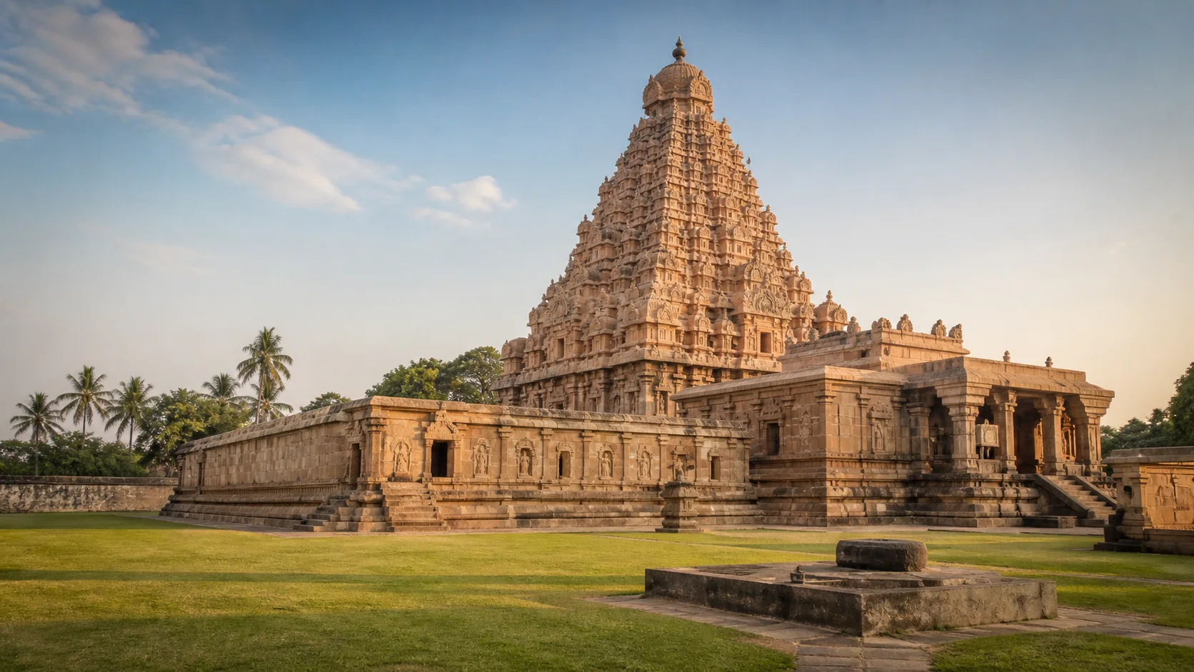
Gangaikondacholapuram connects imperial Chola architecture, archaeology, water planning and long-distance exchange without turning the whole district into a dynasty theme.[gkcArch][unescoChola8d]
Limestone extraction supports industry while also making land, water, worker safety and fossil conservation central to responsible interpretation.[ariyalurGeology]
Land and water
Geography and regional identity
The district is inland, with the Vellar system to the north and Kollidam-side landscapes to the south. Sedimentary rocks include limestone, sandstone, clay and marl in named geological formations.[ariyalurAbout][ariyalurGeology]
Cretaceous marine rocks and fossiliferous horizons record environments far older than human occupation. Exact fossil age and formation must follow specimen-level geological work, not a tourism slogan.[ndrCauvery][cgwbAriyalur]
Quarries, badlands, farms, tanks and wetlands have different ownership and safety rules. A fossil-bearing exposure is not automatically an open collecting site.
Landscape labels summarize a large area and never establish access. In Ariyalur, public roads, protected land, worship, farms, water infrastructure and workplaces each have different rules. Place-name map searches help with orientation, while the responsible authority determines entry.
Evidence and change
Historical overview
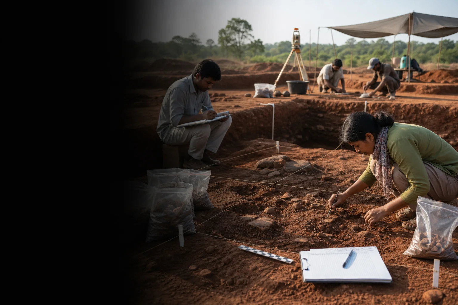
Archaeology concerns human evidence: tools, burials, ceramics, inscriptions, buildings and settlement. These are not the same as ammonites, fossil wood or other paleontological specimens.
Tamil Nadu Archaeology records repeated excavation at Gangaikondacholapuram, where palace-area remains and imported ceramics help interpret a medieval capital.[tnArchExcavations][gkcArch]
Temple inscriptions and the Paluvettaraiyar, Chola, Pandya and later political contexts belong to particular places and periods rather than one continuous district identity.[ariyalurHistory]
Modern Ariyalur was shaped by changing district administration, railway and road links, agriculture, mining and cement-related work.
A district boundary is modern administration rather than a timeless historical region. Evidence found in today's Ariyalur can illuminate wider networks, but it does not prove that an ancient polity, language community or trade system followed the present border.
Continue with Tamil Nadu history →Within the district
Cities, towns and local centres
These are district contexts, not newly created destination pages.Ariyalur
Administration, markets, transport and geology-related institutions orient the district.
Jayankondam
A municipal and market centre for Udayarpalayam-side routes.
Udayarpalayam
Palayam history and civic functions distinguish it from Jayankondam.
Sendurai
Agriculture and limestone-bearing landscapes shape local context.
Thirumanur
River-linked agriculture and temple routes define the southern side.
Andimadam
Rural settlements and eastern road connections broaden the district map.
Living and protected places
Temples and spiritual places
Gangaikondacholisvaram
A UNESCO-listed component of the Great Living Chola Temples and a living sacred monument.
Open full guideThirumazhapadi Vaidyanathaswamy context
A Kollidam-side living temple with inscriptional and devotional layers.
Kallankurichi Kaliyuga Varadaraja Perumal context
A living pilgrimage place requiring current local arrangements.
Interpret carefully
Heritage and architecture
Gangaikondacholapuram palace landscape
Excavation, museum collections, temple and water systems should be read together.
Varanavasi Field Fossil Museum
A government interpretation point for rocks and fossils; verify current access.
Paluvur and Udayarpalayam contexts
Temples, inscriptions and local political history require site-specific evidence.
Karaivetti wetland
A managed habitat and agricultural water landscape, not an unrestricted recreation area.
Living knowledge
Culture, food and regional products
Culture and festivals
Temple observances, agrarian work, wetland use, industrial labour and town markets create different cultural settings.
Fossil identity has educational value only when specimens, formations and conservation are explained accurately.
Festival dates and access arrangements change annually and are not hardcoded.
Food and cuisine
Food reflects central Tamil rice, millet, pulse, groundnut and vegetable economies, with household and community variation.
Kollidam-side and interior settlements do not share one menu; crop and water context matter.
No restaurant or dish is promoted as original, best or district-exclusive.
Making and provenance
Regional products and crafts
Limestone and cement are major high-level economic associations, described without live plant counts or output rankings.[ariyalurGeology]
Agricultural produce and local market goods need producer-specific provenance.
Fossils are scientific and heritage material, not souvenirs to remove from exposures.
District-level association does not prove that every item sold under the Ariyalur name was grown, made or processed locally. Useful provenance identifies the producer, material, technique and production place without turning a broad regional reputation into a guarantee.
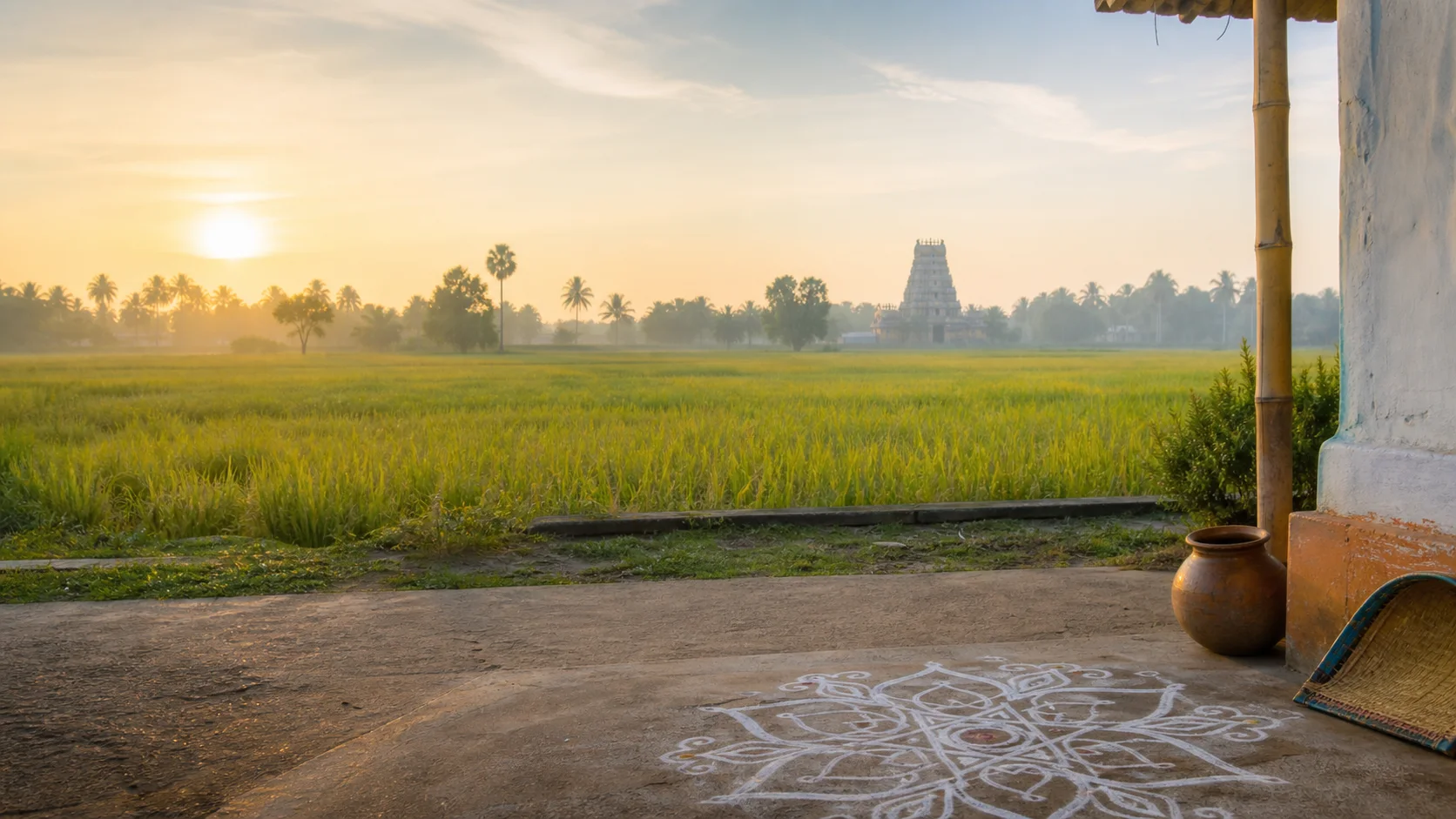
Landscape first
Nature and wildlife
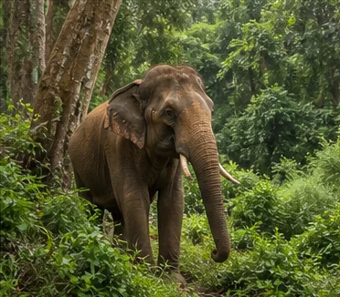
Karaivetti and other tanks support wetland ecology within a cultivated district; bird presence is seasonal and never guaranteed.[ariyalurPlaces][forest8d]
The Vellar and Kollidam-side systems influence agriculture and settlement, but water access is condition-dependent.
Quarry faces and fossil exposures can be hazardous or restricted. Observe only through authorized educational settings.
Work and change
Economy and livelihoods
Agriculture, limestone extraction, cement, trade, transport and services support different parts of the district.
Responsible industrial coverage includes worker safety, dust, water, land restoration and fossil conservation.
No current production share, employment total or ranking is asserted.
Build a coherent route
Places to explore in Ariyalur
Ariyalur town
Start with civic context and verified museum information.
Varanavasi
Use formal interpretation rather than collecting from the field.
Gangaikondacholapuram
Allow time for monument, museum and urban-water context.
Thirumazhapadi
Connect temple heritage with Kollidam geography.
Karaivetti
Follow current forest and local access rules.
Udayarpalayam
Read palayam memory without projecting modern boundaries backward.
Choose your pace
Things to do
Learn to separate evidence
Compare a fossil label, an excavated object and an inscription without merging their dates.
Follow the Chola capital landscape
Connect temple, excavation, museum and water systems.
Observe a working district
Approach farms and industry through authorized public contexts.
Use low-impact wetland practice
Keep distance, avoid noise and accept seasonal variability.
Conditions, not promises
Best season and current checks
Interior heat affects exposed geology and monument visits, while rain changes unpaved approaches and wetland conditions.
Bird presence, water levels and field access cannot be predicted from old photographs.
This evergreen guide does not publish forecasts, road or sea status, attraction hours, event dates, transport operation or other live conditions.[imd8d]
Plan by days
Suggested duration
One day
Choose Ariyalur-Varanavasi or Gangaikondacholapuram as one focused cluster.
Two days
Use one geology-museum day and one Chola-river day.
Three or more days
Add Karaivetti or Udayarpalayam only with current access and a realistic route.
Regional access
How to reach
By rail
Ariyalur and nearby stations serve different corridors; verify current trains.
By road
Roads connect Tiruchirappalli, Perambalur, Thanjavur, Cuddalore and delta-side routes.
By air
Confirm the practical regional airport and onward transport.
Local movement
Getting around
Buses, autos and hired vehicles serve towns; museums, wetlands and dispersed heritage need planned last-mile travel.
The central planning check is simple: Verify museum and monument access, wetland rules, quarry boundaries, heat and current transport.
Map links are for orientation. Confirm accessibility, parking, last-mile transport and return options locally. Leave enough daylight for rural, hill, wetland or coastal return travel and keep an alternative when one place is unavailable.
Place-name links
Map of Ariyalur district
No fabricated coordinates or heavy map embed are used.Map data is not embedded on this lightweight page. Open a place-name search in Google Maps for current roads, business details and directions.
Continue geographically
Nearby districts
Continue by subject
Related My Tamil Nadu guides
Practical planning
Save a district checklist
Saved only in this browser. No login or personal data is needed.
Questions
Frequently asked questions about Ariyalur
Is Ariyalur district the same as Ariyalur town?
No. Ariyalur town is the headquarters within a district that also includes Jayankondam, Sendurai, Udayarpalayam and Andimadam taluks.
How is Ariyalur different from Perambalur?
They are separate districts again since the 2007 reorganization. Gangaikondacholapuram and Varanavasi are in Ariyalur; Sattanur and Ranjankudi are in Perambalur.
What is Ariyalur best understood through?
Its strongest identity comes from reading marine geological evidence, medieval Chola urban history, living temples, agriculture and extractive industry as separate but connected stories.
How many days are useful for Ariyalur?
Two days gives a focused introduction; use three or more when coast, hills, distant towns or heritage clusters are combined.
Are current timings, fares and schedules listed?
No. Operational details change and must be confirmed with the responsible authority.
Are the images documentary photographs?
No. They are project-created editorial visuals and are explicitly labelled non-documentary.
How do the map links work?
They open place-name searches in Google Maps without guessed coordinates or a heavy embedded map.
Editorial trust
Sources and further reading
Major factual claims were checked against authoritative references. Last reviewed 9 August 2026.- About Ariyalur districtAriyalur District Administration · Official district profileReviewed 9 August 2026
- History of AriyalurAriyalur District Administration · Official district historyReviewed 9 August 2026
- Places of interestAriyalur District Administration · Official district visitor recordReviewed 9 August 2026
- Geology and miningAriyalur District Administration, Department of Geology and Mining · Official district geology recordReviewed 9 August 2026
- Field Fossil Museum, VaranavasiAriyalur District Administration · Government museum recordReviewed 9 August 2026
- Cauvery Basin geology and stratigraphyDirectorate General of Hydrocarbons, Government of India · Government geoscience repositoryReviewed 9 August 2026
- Aquifer mapping and geology of the Ariyalur regionCentral Ground Water Board · Government geoscience reportReviewed 9 August 2026
- Gangaikondacholapuram excavation and site museumTamil Nadu State Department of Archaeology · State archaeology recordReviewed 9 August 2026
- Great Living Chola TemplesUNESCO World Heritage Centre · Official World Heritage recordReviewed 9 August 2026
- Forests, wetlands and protected-area guidanceTamil Nadu Forest Department · State conservation authorityReviewed 9 August 2026
- Regional Meteorological Centre ChennaiIndia Meteorological Department · Official weather authorityReviewed 9 August 2026
- National Train Enquiry SystemIndian Railways · Official transportReviewed 9 August 2026
- Archaeological excavations conducted in Tamil NaduTamil Nadu State Department of Archaeology · State archaeology recordReviewed 9 August 2026