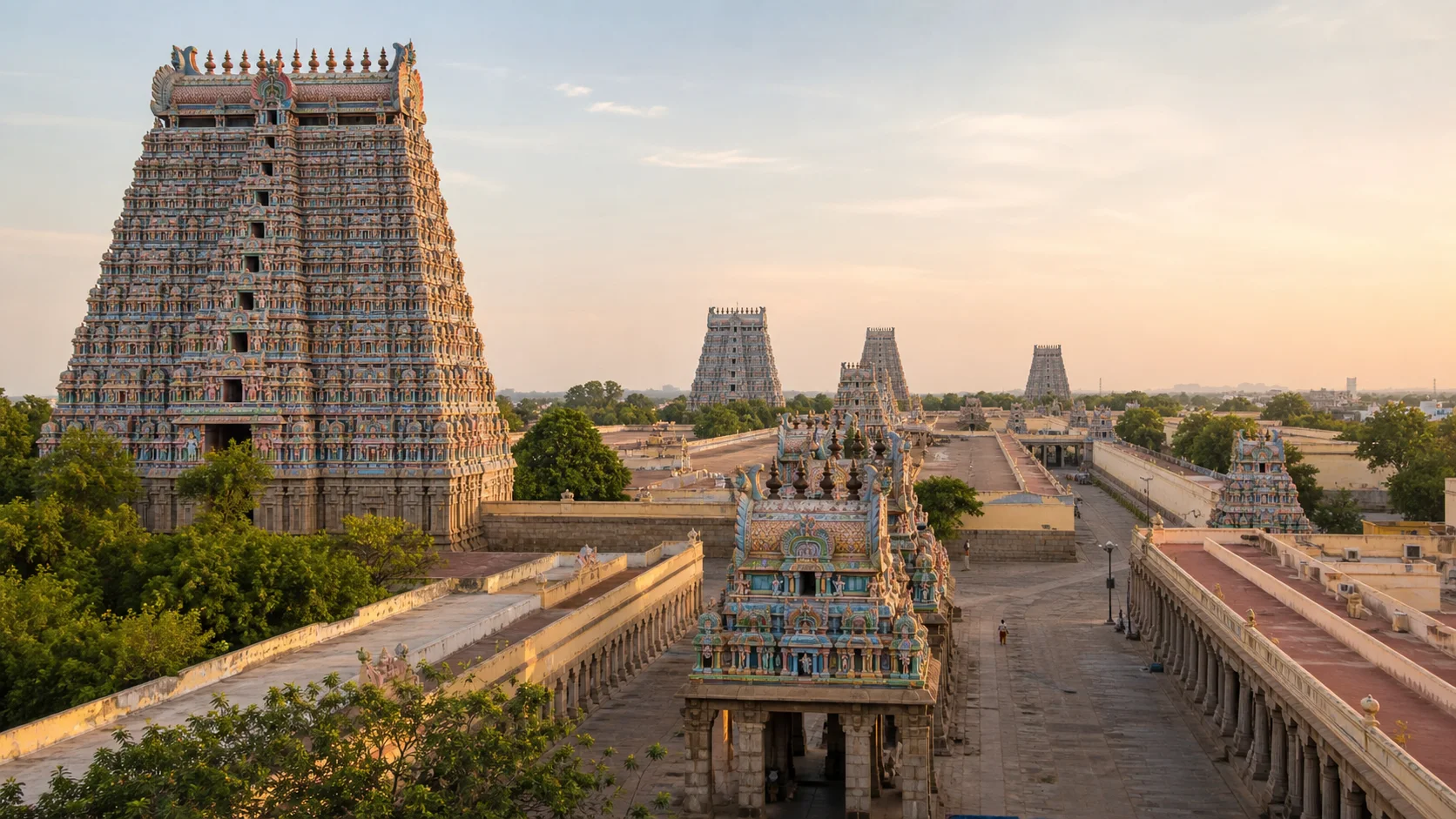
Kaveri crossings, rock landscape and sacred towns
Tiruchirappalli District: Temples, History and Central Tamil Nadu
Tiruchirappalli district occupies a central position in Tamil Nadu's geography and transport networks. The urban centre commonly called Trichy, the island and temple town of Srirangam, Kaveri and Kollidam waterways, rock outcrops, historic Uraiyur, market towns and agricultural interiors create a district with far more than a convenient transit identity.On this page
District overview
Understanding Tiruchirappalli district
Tiruchirappalli is the official district name, while Trichy is common in speech, transport and business. This page uses the official form for administration and the short form where it helps recognition.[trichyAbout]
The district is distinct from the larger historic and travel region sometimes organised around Trichy as a gateway.
Srirangam is within Tiruchirappalli district, while other Kaveri heritage places promoted on regional circuits may fall in neighbouring districts.
Why it matters
Why explore Tiruchirappalli?
Srirangam combines a vast living Vaishnava institution with an inhabited island town and river geography.[srirangam]
Rockfort and historic Uraiyur reveal settlement and political layers that are not reducible to one dynasty.
The Kaveri-Kollidam system connects agriculture, water infrastructure, sacred practice and urban risk.
Manapparai, Musiri, Lalgudi and Thuraiyur broaden the district through markets, farming, food traditions and dryland-to-river transitions.
Land and water
Geography and regional identity
The Kaveri divides around the Srirangam island landscape, with the Kollidam/Coleroon branch defining major hydrological and settlement patterns.
Rock outcrops rise abruptly from plains around the urban centre and at other sites, creating sacred, military and geological interest.
River-fed eastern and northern areas differ from drier interiors toward Manapparai, while Thuraiyur links toward hill-edge country.
River level, bathing safety, flood risk and water access are current matters; no evergreen map should imply safe entry.[imd][warnings]
Evidence and change
Historical overview
Uraiyur is associated with early Chola history, while the wider district preserves evidence and memory from multiple early historic and medieval periods.[trichyHistory]
Pallava, Chola, Pandya, Vijayanagara and Nayak powers shaped temples, forts and settlement, but each site requires its own chronology.
The Rockfort landscape became strategically important during eighteenth-century conflict involving regional rulers and European companies.
Colonial Trichinopoly developed military, educational, administrative and transport functions; post-independence growth strengthened industry and regional services.
Administrative changes created separate neighbouring districts, so older references to a larger Tiruchirappalli area cannot be copied into modern boundaries.
Continue with Tamil Nadu history →Within the district
Cities, towns and local centres
These are district contexts, not newly created destination pages.Tiruchirappalli / Trichy
Administration, Rockfort, transport, education, industry and markets define the urban centre.
Srirangam
A living settlement around Ranganathaswamy Temple within the Kaveri-Kollidam system.
Lalgudi
Agriculture, temples, education and transport connect delta-edge villages.
Musiri
A market and service centre across the Kaveri corridor.
Manapparai
Transport, agricultural trade and named food traditions support a distinct identity.
Thuraiyur
A service centre linking plains, farming communities and hill-edge routes.
Living and protected places
Temples and spiritual places
Ranganathaswamy Temple, Srirangam
A major living Vaishnava institution; official worship and access information must lead planning.
Open full guideJambukeswarar Temple, Tiruvanaikaval
A living Shaiva temple in the island-water landscape; no current ritual schedule is hardcoded.
Rockfort temple complex
Hill temples and fortified rock context require stair, heat and crowd planning.
Samayapuram Mariamman Temple
A major living goddess temple whose event and crowd arrangements change.
Vayalur Murugan Temple
A sacred setting west of the city; verify current access through responsible sources.
Interpret carefully
Heritage and architecture
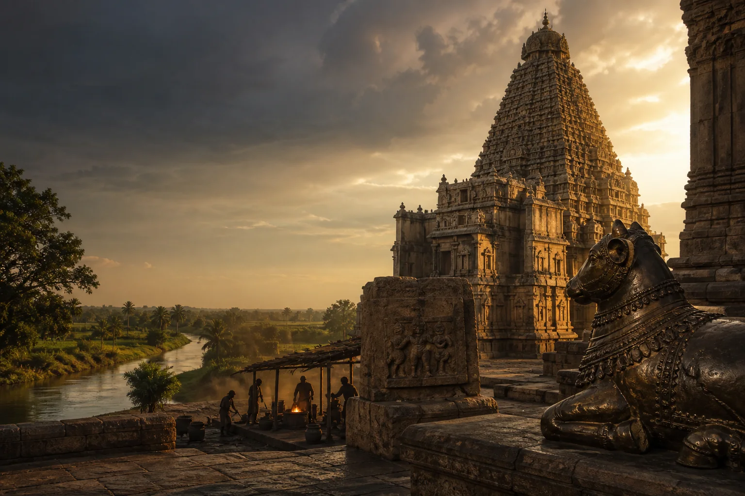
Rockfort landscape
Geology, fortification, temples and urban views overlap on a heavily used living site.
Uraiyur
Early historic associations and modern neighbourhood life require evidence beyond a single monument.
Srirangam town
Temple enclosures, streets, houses and commerce form a living urban heritage system.
Grand Anicut regional context
Kallanai is in modern Thanjavur district near the boundary, so it is a nearby context rather than a Tiruchirappalli district place.
Living knowledge
Culture, food and regional products
Culture and festivals
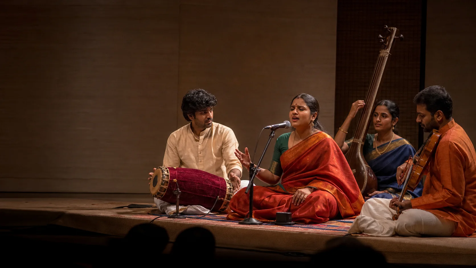
Temple ritual, processions, Carnatic traditions, education, urban neighbourhoods and rural market life give the district multiple cultural centres.
Srirangam and Samayapuram can draw large crowds during annual observances, but this guide publishes no fixed dates or access promises.
Trichy Tamil, migration, colleges and industrial work contribute to contemporary culture alongside inherited practices.
Public photography should respect worshippers, workers and residents, especially in dense temple streets.
Food and cuisine
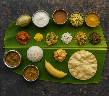
Trichy food draws from central Tamil cooking, Kaveri agriculture, urban tiffin culture, markets and migration.
Manapparai murukku is a recognised place-associated food tradition, but this guide makes no unverified GI or universal-authenticity claim.
Banana, rice, vegetables and other produce move through regional markets; crop and price conditions vary.
Restaurant hours, hygiene and dietary suitability require current on-site checks; no business is endorsed.
Making and provenance
Regional products and crafts
Food products associated with Manapparai and agricultural goods associated with the Kaveri region should be purchased with maker and ingredient information.
Temple goods, metal work, textiles and household products circulate through urban and town markets, but no single item defines the district.
This phase makes no district GI claim without a direct official registry match.
Local economic value belongs to present makers and traders, not only to heritage branding.
Landscape first
Nature and wildlife
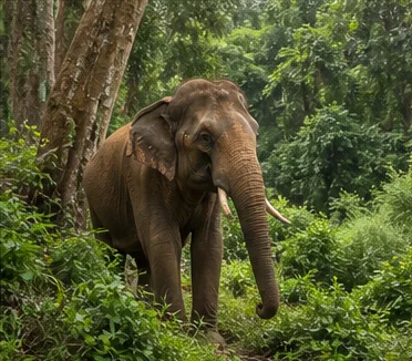
Rivers, channels, fields, tanks, dry scrub and rock outcrops create varied habitat across the district.
The Kaveri is a working and sacred river with strong currents, infrastructure and seasonal change; use only permitted public access.
Hill-edge and scrub routes can involve heat, wildlife or access restrictions. No off-route trekking is promoted.
Bird and water conditions are not guaranteed by month or location.
Work and change
Economy and livelihoods
Transport, education, public administration, engineering, manufacturing, healthcare and services make Trichy a major regional centre.
Agriculture and agricultural trade remain important across river and interior blocks.
Temple visitation supports many livelihoods while requiring crowd, waste and neighbourhood management.
Current output, passenger and employment figures are omitted because they change and are not needed for responsible exploration.
Build a coherent route
Places to explore in Tiruchirappalli
Srirangam
Use the full temple guide and study island settlement as well as architecture.
Tiruvanaikaval
Pair worship-first planning with Kaveri geography.
Rockfort
Allow for steps, heat, worship and changing access.
Uraiyur
Look beyond monument tourism to settlement history.
Samayapuram
Check current crowd and transport arrangements.
Lalgudi and Kaveri villages
Use public roads and respect working land.
Musiri
Understand district movement across the Kaveri corridor.
Manapparai
Connect transport and local enterprise without reducing the town to one snack.
Choose your pace
Things to do
Read Srirangam as a town
Connect temple enclosures with homes, streets, markets and waterways.
Climb only to your conditions
Rockfort heat and steps require a realistic plan.
Compare Shaiva and Vaishnava institutions
Respect different worship contexts rather than collecting architecture.
Trace one Kaveri route
Use safe public viewpoints to understand river and settlement.
Explore Uraiyur history
Use reliable historical context within a modern neighbourhood.
Taste a place-associated food carefully
Ask about ingredients and maker rather than assuming a label proves origin.
Use Trichy as more than transit
Give the district a coherent study day.
Connect onward responsibly
Separate neighbouring-district places from the current district map.
Conditions, not promises
Best season and current checks
Early starts and midday shade help with exposed rock and temple streets, but a current IMD forecast should guide the day.
Monsoon rain and upstream conditions can affect river levels and roads; follow official warnings.[imd][warnings]
Festival crowds and educational or transport peaks change mobility without following an evergreen schedule.
No month guarantees a particular river appearance, crop landscape or mild temperature.
Plan by days
Suggested duration
1 day
Choose Srirangam-Tiruvanaikaval or central Trichy-Rockfort as one cluster.
2 days
Combine both urban clusters and add one Kaveri, Uraiyur or market-town theme.
3 days+
Include Manapparai, Musiri, Lalgudi or Thuraiyur without turning the route into a boundary-spanning checklist.
Regional access
How to reach
Rail
Tiruchirappalli is a major junction; verify current services through Indian Railways.
Road
Central location creates many regional bus and road links, but no schedule or journey time is guaranteed.
Air
Tiruchirappalli airport serves domestic and international routes; check the airport and carrier directly.
Local movement
Getting around
Srirangam, central Trichy and outlying towns require separate movement plans despite appearing close on a regional map.
Walking works within selected temple and market clusters; heat, river crossings and major roads limit continuity.
Build extra time around worship queues, traffic and rain rather than assuming a fixed circuit.
Place-name links
Map of Tiruchirappalli district
No fabricated coordinates or heavy map embed are used.Map data is not embedded on this lightweight page. Open a place-name search in Google Maps for current roads, business details and directions.
Continue geographically
Nearby districts
Continue by subject
Related My Tamil Nadu guides
Practical planning
Save a district checklist
Saved only in this browser. No login or personal data is needed.
Questions
Frequently asked questions about Tiruchirappalli
Is Trichy the same as Tiruchirappalli?
Trichy is the widely used short name for Tiruchirappalli city and district headquarters.
Is Srirangam in Tiruchirappalli district?
Yes. It is a temple town on the Kaveri island landscape within the district.
Is Kallanai in Tiruchirappalli district?
No. The Grand Anicut is in modern Thanjavur district near the boundary.
Can I swim in the Kaveri?
Do not infer safe water access from a map; follow current local and official safety instructions.
Are temple timings listed?
No. Use responsible temple and district authorities for current information.
How long should I stay?
Two days give a useful Srirangam, central Trichy and one wider district introduction.
Does the guide provide train schedules?
No. It links to Indian Railways for live service information.
Editorial trust
Sources and further reading
Major factual claims were checked against authoritative references. Last reviewed 9 August 2026.- About Tiruchirappalli districtTiruchirappalli District Administration · Official district profileReviewed 9 August 2026
- History of TiruchirappalliTiruchirappalli District Administration · Official district historyReviewed 9 August 2026
- Tourist placesTiruchirappalli District Administration · Official district visitor recordReviewed 9 August 2026
- Srirangam TempleTiruchirappalli District Administration · Official district visitor recordReviewed 9 August 2026
- Forest and wildlife informationTamil Nadu Forest Department · State governmentReviewed 9 August 2026
- Regional Meteorological Centre ChennaiIndia Meteorological Department · Official weather authorityReviewed 9 August 2026
- Tamil Nadu and Puducherry warningsIndia Meteorological Department · Official warning serviceReviewed 9 August 2026
- National Train Enquiry SystemIndian Railways · Official transportReviewed 9 August 2026