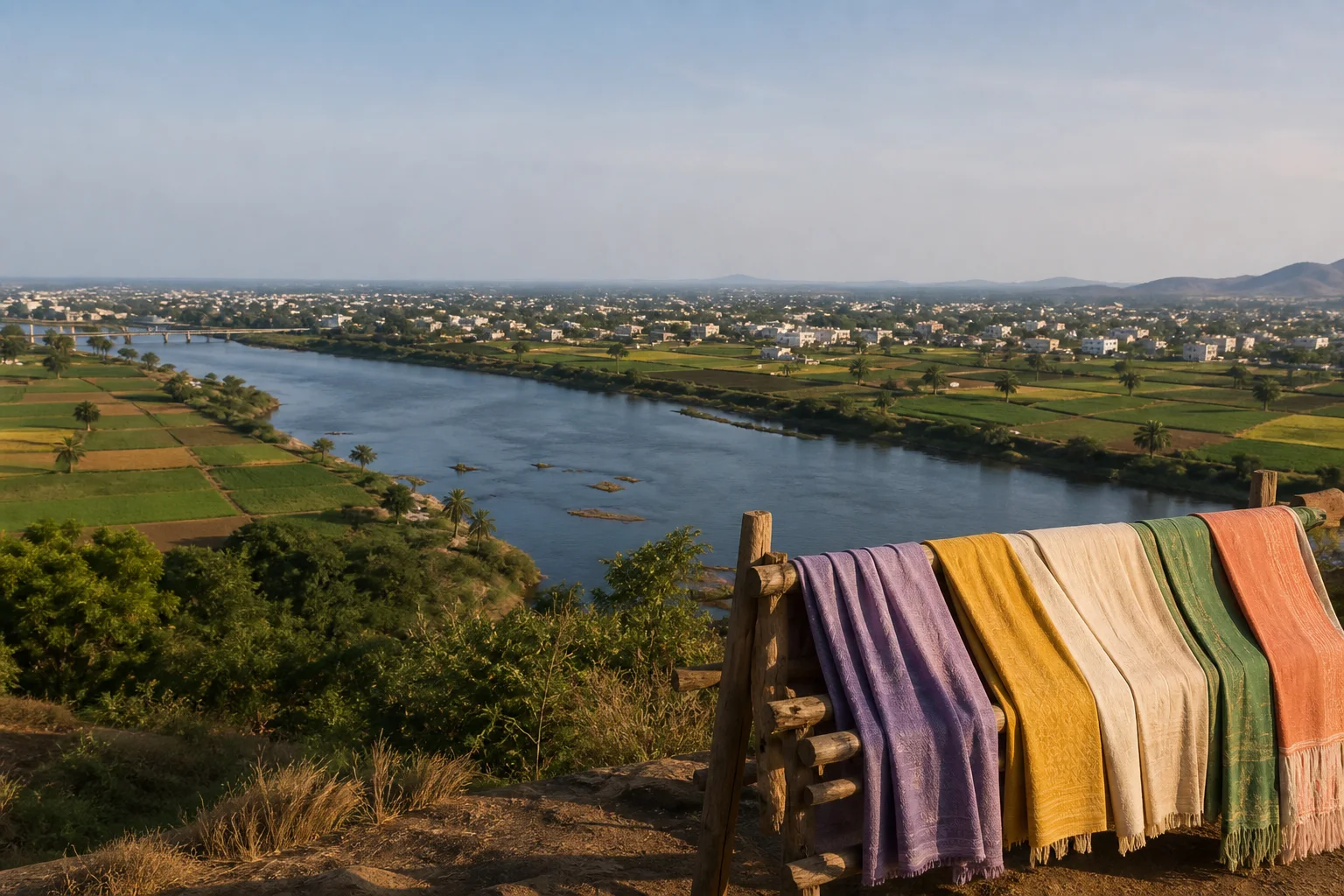
Amaravati-Kaveri landscapes, Chera memory and making traditions
Karur District: Rivers, Early History and Textile Enterprise
Karur district occupies a strategic central-western position around the Amaravati and Kaveri systems. Archaeology, inscriptions, coins and literary traditions support its importance in Early Historic exchange and Chera history, but confident slogans should not outrun the evidence. Modern Karur is equally a textile, engineering, agricultural and transport landscape.On this page
District overview
Understanding Karur district
Official district history presents Karur as an ancient centre associated with the Cheras. Tamil Nadu Archaeology records excavation at Karur, adding material evidence to inscriptions, coins and texts.[karurHistory][tnArchExcavations]
The guide uses 'important Chera centre' rather than converting a complex and changing political geography into an absolute capital claim.
Karur district is an administrative area, not a promise that every named place sits close to the headquarters. Routes should be checked by current district, taluk and place name before travel; historical sources may use boundaries that were valid only when they were written.
Why it matters
Why explore Karur?
Karur helps connect inland routes, river corridors, Roman-period exchange evidence and the historical polities remembered in Tamil sources.[karurHistory][tnArchExcavations]
Pasupathieswarar, Thanthondrimalai and other living sacred places show how temple landscapes continued to shape settlement and memory.[karurPlaces]
Home textiles, bus-body and engineering work make contemporary production essential to understanding the district, with permission and worker dignity central to any visit.
Land and water
Geography and regional identity
The Amaravati reaches the Karur area before meeting the Kaveri system, while dry plains, irrigation channels and rocky uplands shape settlement and cultivation.
River confluences are culturally significant but can also be hazardous. Water level, current, access and pollution conditions require current local checks.
The district's central position supports road and rail movement between western, central and delta Tamil Nadu, helping explain both historical and modern exchange.[karurAbout]
Landscape labels summarize a large area and never establish access. In Karur, public roads, protected land, worship, farms, water infrastructure and workplaces each have different rules. Place-name map searches help with orientation, while the responsible authority determines entry.
Evidence and change
Historical overview
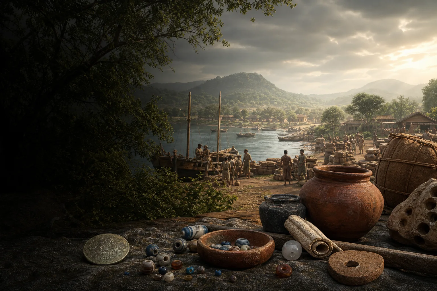
Excavated material, Tamil-Brahmi and later inscriptions, coins and ceramics help establish Karur's Early Historic importance. Each category has its own date range and interpretive limits.[tnArchExcavations]
Chera associations are substantial, but literary place names, dynastic titles and archaeological sites cannot be matched mechanically. Political centres could shift over time.
Chola, Pandya, Vijayanagara, Nayaka and later regimes also left institutional, temple and revenue histories in the region.
Modern municipal growth, rail and road links, irrigation, textile exports and engineering transformed Karur without erasing agricultural and sacred landscapes.
A district boundary is modern administration rather than a timeless historical region. Evidence found in today's Karur can illuminate wider networks, but it does not prove that an ancient polity, language community or trade system followed the present border.
Continue with Tamil Nadu history →Within the district
Cities, towns and local centres
These are district contexts, not newly created destination pages.Karur
A textile, engineering, administrative and historic urban centre.
Kulithalai
A river and temple landscape on the eastern side.
Aravakurichi
Dryland agriculture and road links shape its setting.
Krishnarayapuram
Irrigated settlements and river geography organize the area.
Pugalur
A working landscape requiring authorized access.
Thanthoni
Temple and expanding city landscapes meet here.
Living and protected places
Temples and spiritual places
Pasupathieswarar Temple
A living Shaiva temple central to Karur's sacred and urban identity.
Kalyana Venkataramana Swamy Temple, Thanthondrimalai
A hill-associated living Vaishnava temple; verify access.
Kadambavaneswarar Temple, Kulithalai
A Kaveri-side temple context within the eastern district.
Interpret carefully
Heritage and architecture
Karur archaeological context
Excavations, inscriptions and finds belong to dated human history.
River confluence landscapes
Sacred meaning, hydrology and public safety must be kept together.
Historic trade routes
Karur's position matters without implying every object proves direct travel.
Textile production landscape
Design, dyeing, stitching, finishing and export involve many workers and firms.
Living knowledge
Culture, food and regional products
Culture and festivals
Temple worship, river observance, markets, agricultural cycles and industrial work create overlapping but distinct cultural worlds.
Chera memory appears in public identity, yet responsible interpretation distinguishes memory, literature, inscription and excavation.
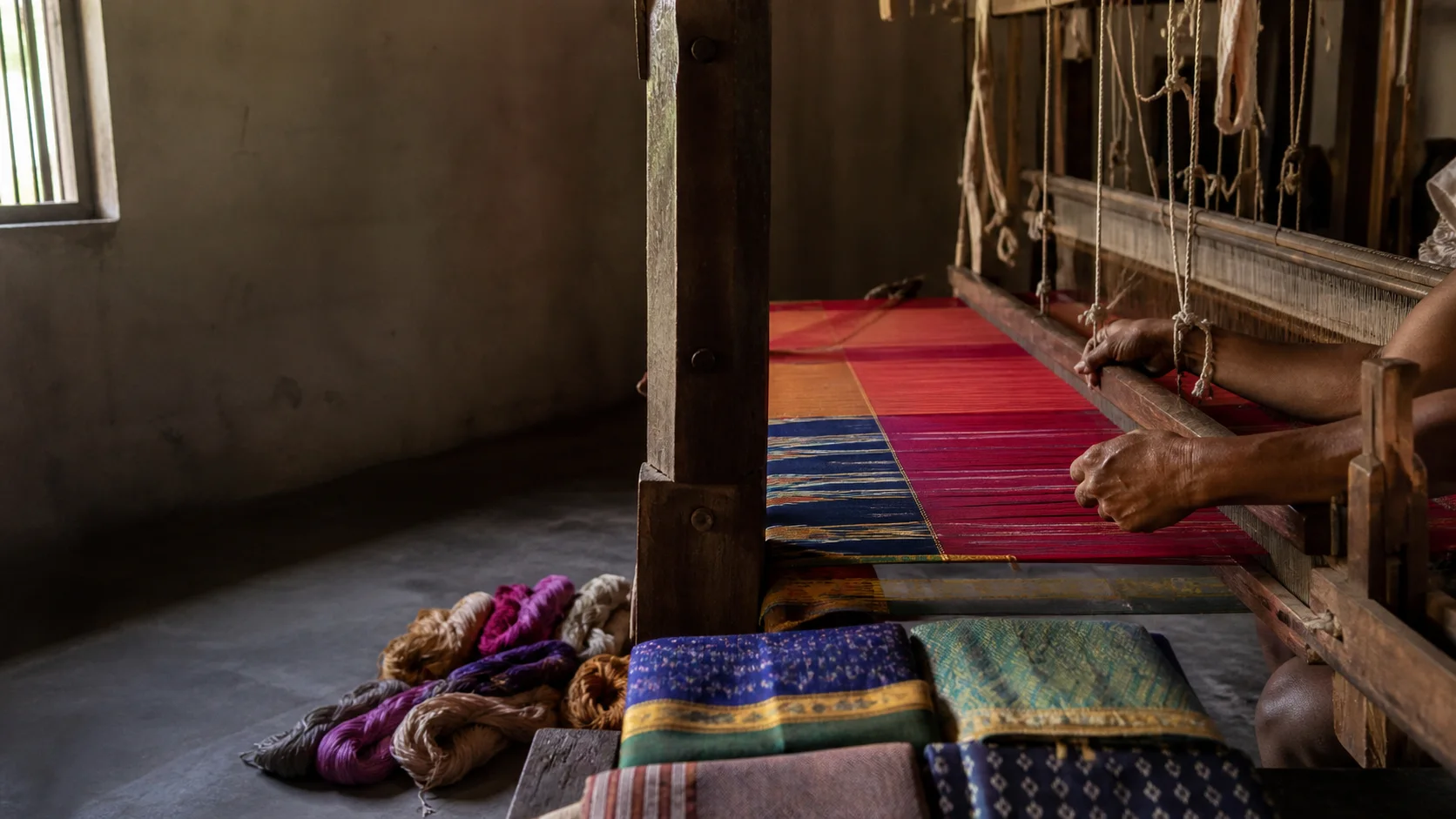
Workshop photography and interviews require explicit consent; production spaces are not attractions by default.
Food and cuisine
Karur food reflects the meeting of Kongu-side, central Tamil and river-corridor practices rather than one fixed cuisine.
Rice, millets, pulses, groundnut, vegetables and meat dishes vary by household, season and community.
Roadside popularity is not proof of origin; ask vendors about ingredients and preparation without declaring a dish uniquely Karur's.
Making and provenance
Regional products and crafts
Home textiles are a prominent modern association, including made-up furnishings produced through varied industrial and small-enterprise chains.
Bus-body building and engineering are important but should be discussed through permitted, safety-conscious contexts.
Handloom, powerloom and factory-made goods are different production categories; label them accurately before purchase.
District-level association does not prove that every item sold under the Karur name was grown, made or processed locally. Useful provenance identifies the producer, material, technique and production place without turning a broad regional reputation into a guarantee.
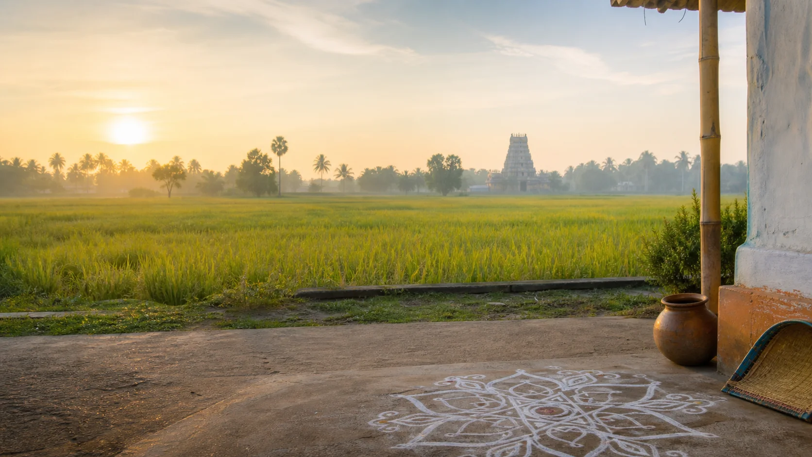
Landscape first
Nature and wildlife
River corridors, tanks, dry scrub and cultivated fields support varied ecology, but none guarantees wildlife sightings.
Water releases, monsoon flow and heat affect riverbank safety; follow current official and local guidance.[imd8d]
Avoid entering farms, sand-working areas, industrial land or unstable banks without permission.
Work and change
Economy and livelihoods
Textiles, engineering, transport, trade, agriculture and services support Karur's urban and rural economies.[karurAbout]
A product story should include labour, water, dyeing, materials, energy and waste, not only export success.
No current export value, output ranking or employer count is hardcoded.
Build a coherent route
Places to explore in Karur
Karur town
Connect archaeology, temple, markets and modern production.
Pasupathieswarar precinct
Observe protocol and the surrounding town context.
Thanthondrimalai
Check access and combine with Karur rather than a separate long route.
Kulithalai
Read river, temples and agriculture together.
Pugalur side
Use public roads and authorized interpretation.
Aravakurichi
A route through farms and regional transport rather than a checklist stop.
Choose your pace
Things to do
Compare evidence types
Set literature, coins, inscriptions and excavation beside one another.
Trace a textile object
Ask how material, technique, labour and finishing are identified.
Read a river town
Connect water systems with sacred and commercial life.
Question a capital claim
Use precise language when evidence allows several interpretations.
Conditions, not promises
Best season and current checks
Interior heat can be intense and river conditions can change after rain or releases; verify current conditions.[imd8d]
Production visits depend on business permission and work schedules, never on a generic tourism timetable.
This evergreen guide does not publish forecasts, road or sea status, attraction hours, event dates, transport operation or other live conditions.[imd8d]
Plan by days
Suggested duration
One day
Focus on Karur town, its temple and one evidence or craft context.
Two days
Use one Karur day and one Kulithalai-Kaveri or southern dryland day.
Three or more days
Add nearby central or western districts only after checking realistic travel.
Regional access
How to reach
By rail
Karur and Kulithalai serve different rail movements; verify current trains.
By road
Road connections link Tiruchirappalli, Dindigul, Erode, Namakkal and Coimbatore corridors.
By air
Confirm the practical airport and onward rail or road transfer.
Local movement
Getting around
Town buses and local vehicles connect centres; archaeology, riverbanks and workshops need prior planning and permission.
The central planning check is simple: Verify river safety, monument and temple access, workshop permission, heat and current transport.
Map links are for orientation. Confirm accessibility, parking, last-mile transport and return options locally. Leave enough daylight for rural, hill, wetland or coastal return travel and keep an alternative when one place is unavailable.
Place-name links
Map of Karur district
No fabricated coordinates or heavy map embed are used.Map data is not embedded on this lightweight page. Open a place-name search in Google Maps for current roads, business details and directions.
Continue geographically
Nearby districts
Continue by subject
Related My Tamil Nadu guides
Practical planning
Save a district checklist
Saved only in this browser. No login or personal data is needed.
Questions
Frequently asked questions about Karur
Is Karur district the same as Karur town?
No. Karur town is the district headquarters and a major textile and trade centre; the district extends to Kulithalai, Aravakurichi, Krishnarayapuram and Pugalur-side landscapes.
Was Karur unquestionably the sole capital of the ancient Cheras?
Karur is strongly associated with the Early Historic Cheras and is often identified as an important Chera centre. Evidence and scholarly interpretations do not justify presenting one uncontested sole-capital formula for every period.
What is Karur best understood through?
Its identity emerges where river geography, Early Historic exchange, living temples, agriculture, engineering and textile production meet.
How many days are useful for Karur?
Two days gives a focused introduction; use three or more when coast, hills, distant towns or heritage clusters are combined.
Are current timings, fares and schedules listed?
No. Operational details change and must be confirmed with the responsible authority.
Are the images documentary photographs?
No. They are project-created editorial visuals and are explicitly labelled non-documentary.
How do the map links work?
They open place-name searches in Google Maps without guessed coordinates or a heavy embedded map.
Editorial trust
Sources and further reading
Major factual claims were checked against authoritative references. Last reviewed 9 August 2026.- About Karur districtKarur District Administration · Official district profileReviewed 9 August 2026
- History of KarurKarur District Administration · Official district historyReviewed 9 August 2026
- Places of interestKarur District Administration · Official district visitor recordReviewed 9 August 2026
- Archaeological excavations conducted in Tamil NaduTamil Nadu State Department of Archaeology · State archaeology recordReviewed 9 August 2026
- Archaeological sites, excavations and museumsTamil Nadu State Department of Archaeology · State archaeology authorityReviewed 9 August 2026
- Regional Meteorological Centre ChennaiIndia Meteorological Department · Official weather authorityReviewed 9 August 2026
- National Train Enquiry SystemIndian Railways · Official transportReviewed 9 August 2026