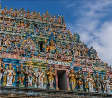
Rock fort, Kolli Hills and a transport-oriented interior district
Namakkal District: History, Places and Travel Guide
Namakkal district combines a distinctive rock-fort town with Tiruchengode's hill temple, Rasipuram-side settlements, Kaveri-linked plains, Kolli Hills communities and a modern economy associated at a high level with transport, poultry, agriculture and services. It was separated from Salem district and should be understood through its current eight-taluk structure.On this page
District overview
Understanding Namakkal district
The district administration identifies Namakkal, Rasipuram, Tiruchengode, Paramathi Velur, Kolli Hills, Sendamangalam, Kumarapalayam and Mohanur taluks.[namakkalAbout]
Kolli Hills belongs to present Namakkal district. It should not be filed under Salem because older sources or access routes use the older district association.
Why it matters
Why explore Namakkal?
The central Namagiri rock brings fort, cave temples and urban form together in a compact landscape.
Tiruchengode adds a separate hill-town and Ardhanareeswarar temple context, while Kolli Hills introduces a much larger highland environment.
Transport enterprises and poultry are important modern sectors, but this guide avoids national rankings, live fleet numbers and production claims.
Land and water
Geography and regional identity
The district extends from interior plains and Kaveri-side areas to the Eastern Ghats at Kolli Hills. These zones differ in rainfall, road character, crops and settlement.
The Namakkal rock is an isolated urban landmark, not evidence that the whole district is rocky.
Kolli Hills contains farms, villages, forest and sacred landscapes. Public roads and named visitor sites do not make every path or community space open.[namakkalKolli]
Evidence and change
Historical overview
Namakkal district began functioning separately from Salem in 1997, making boundary awareness essential when reading older records.[namakkalAbout]
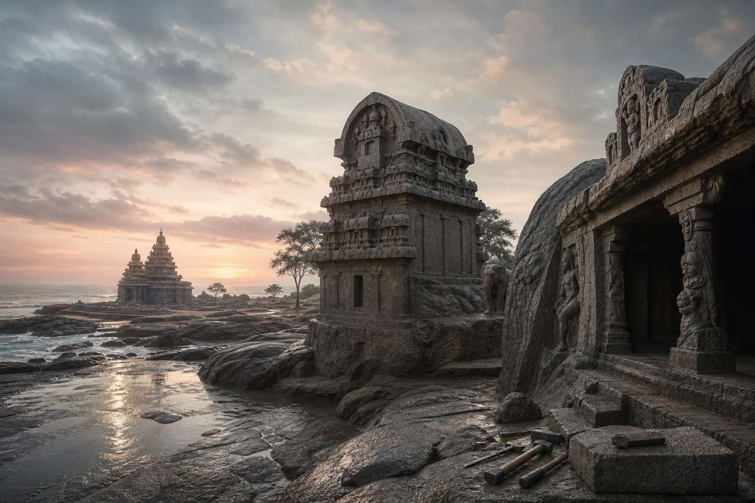
The fort, rock-cut Narasimha and Ranganatha shrines and later built fabric require feature-by-feature dating rather than one ruler attribution.[namakkalHistory]
Tiruchengode's inscriptions and sacred literature place it in a wider Kongu historical landscape, while the modern district boundary is administrative.
Kolli Hills carries literary, local and sacred associations. Legend should be identified as tradition rather than used as a substitute for archaeological chronology.
Continue with Tamil Nadu history →Within the district
Cities, towns and local centres
These are district contexts, not newly created destination pages.Namakkal
Rock, fort, cave temples, markets and administration define the centre.
Tiruchengode
A separate urban and sacred cluster west of Namakkal.
Rasipuram
Markets and routes toward Salem and Kolli foothills shape its role.
Kumarapalayam
Textile and cross-river connections form a distinct setting.
Paramathi Velur
River-linked farming and movement differ from hill routes.
Living and protected places
Temples and spiritual places
Narasimhaswamy and Namagiri Amman context
Living sacred sites associated with the Namakkal rock.
Namakkal Anjaneyar Temple
A major living pilgrimage site; verify queues and worship arrangements.
Ardhanareeswarar Temple, Tiruchengode
A hill temple whose iconography and inscriptions deserve evidence-led interpretation.
Arapaleeswarar Temple context
A living Kolli Hills sacred site with current hill access requirements.
Interpret carefully
Heritage and architecture
Namakkal Fort
A rock-top fort with surviving brick and stone fabric; confirm access.
Rock-cut cave temples
Protected and living elements require separate etiquette.
Tiruchengode hill
Sacred geography, inscriptions and town history intersect.
Kolli Hills cultural landscape
Farms, villages, routes and forest cannot be reduced to a waterfall stop.
Living knowledge
Culture, food and regional products
Culture and festivals
Temple traditions, transport-worker networks, market towns and highland communities create several district cultures.
Kongu regional identity can be a useful cultural context, but it is not a legal district boundary or one uniform social group.
Kolli Hills communities should be represented through credible institutions and their own contemporary lives, not exoticized as timeless hill people.
Food and cuisine
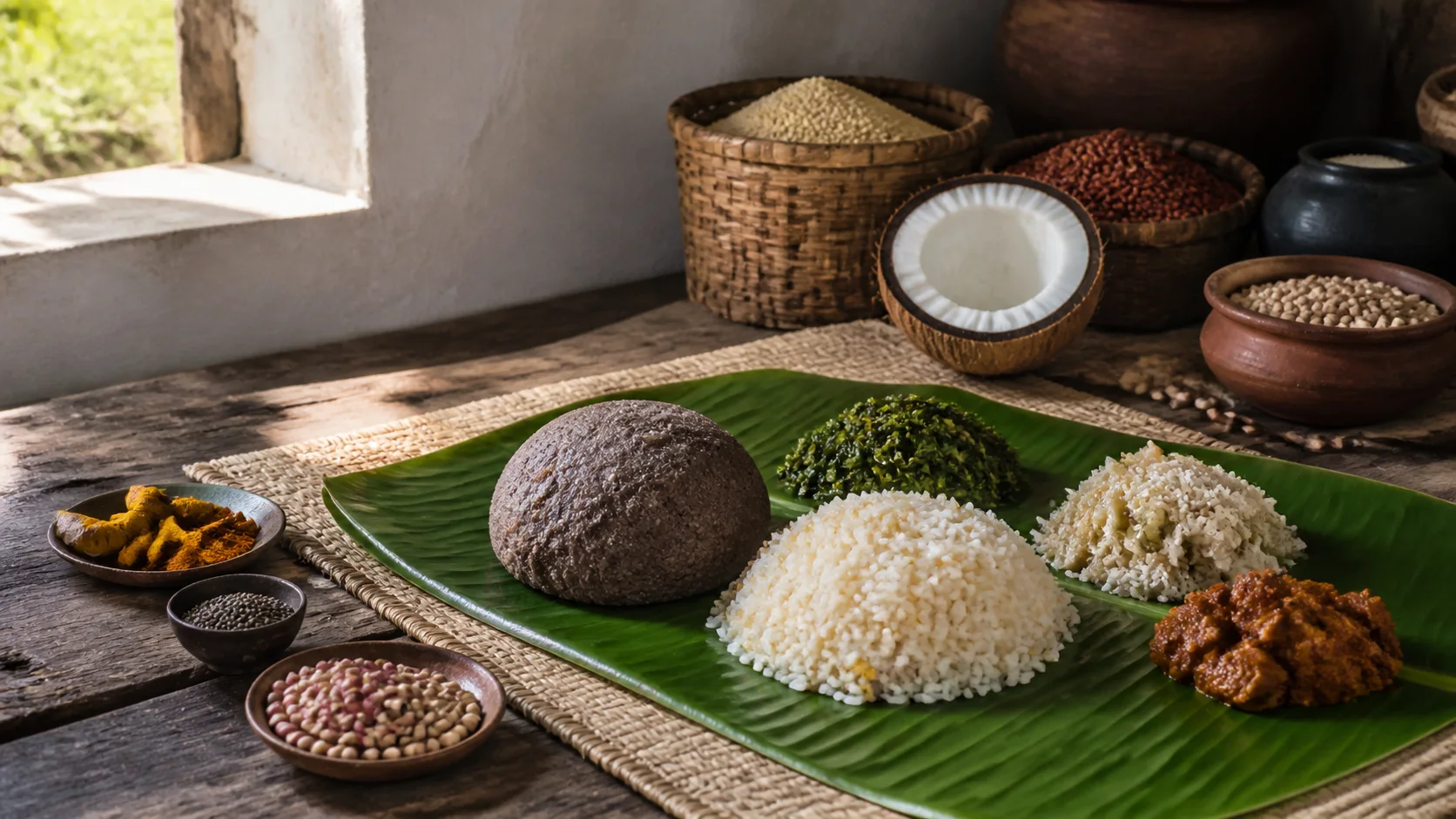
Food reflects dryland crops, Kaveri-side cultivation, market movement and western Tamil household traditions.
Kolli Hills produce may appear in markets, but medicinal, organic or origin claims require producer-specific evidence.
Kongunadu cuisine links this district to a wider food region while preserving local and community variation.
Making and provenance
Regional products and crafts
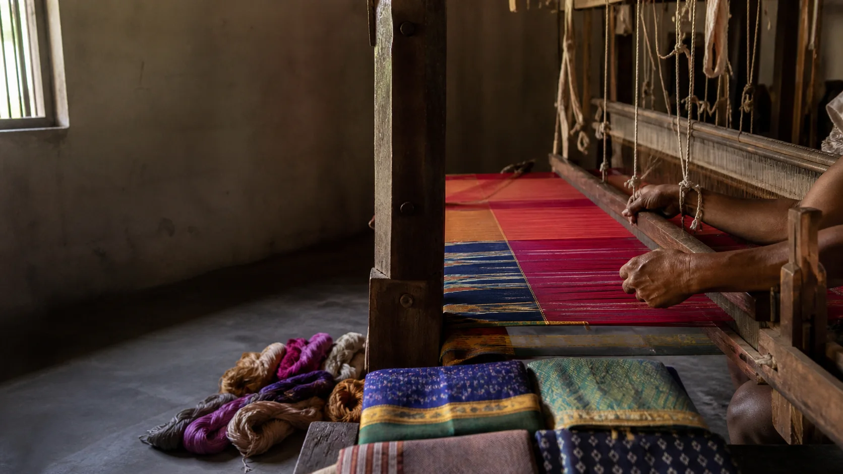
Poultry, transport and logistics are described as major sectors without output rankings or daily market data.
Textile activity around the western side connects with neighboring Erode, but district and product provenance should not be blurred.
Agricultural and hill products should be purchased through transparent makers or growers; no GI is claimed without the official register.[gi8c]
Landscape first
Nature and wildlife
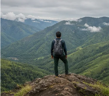
Kolli Hills is the district's strongest nature context, combining forest, farms, streams and settlements in the Eastern Ghats.
Waterfall flow, road safety and forest permission change. Do not rely on old visitor posts for current access.[namakkalKolli][tnForest8c]
Agricultural land and community spaces are not open trekking terrain unless an authorized programme says so.
Work and change
Economy and livelihoods
Transport, logistics, poultry, agriculture, textiles, small industry, education and services shape the district at a high level.
Tiruchengode is associated with specialized vehicle and borewell-service activity, but no live fleet or market ranking is stated.
Hill agriculture and plains logistics demonstrate how different subregions connect without becoming identical.
Build a coherent route
Places to explore in Namakkal
Namakkal rock and fort
Pair the fort with cave-temple and town context.
Tiruchengode
Allow a separate visit with current temple arrangements.
Kolli Hills
Stay within authorized roads and condition-checked sites.
Rasipuram
Use it to understand the northern district.
Paramathi Velur
Explore river-linked settlement from public places.
Kumarapalayam
Read work and urban links rather than treating it as a monument stop.
Choose your pace
Things to do
Read a fort-town
Connect rock, caves, fort and modern streets.
Separate sacred hills
Tiruchengode and Kolli Hills have different histories and travel needs.
Study a logistics economy
Observe public market and transport contexts without entering workplaces uninvited.
Taste regional variation
Use Kongunadu as a conversation, not a menu checklist.
Conditions, not promises
Best season and current checks
Kolli Hills weather can differ sharply from Namakkal plains, and rain can affect roads and falls.
Temple festivals, farm cycles and transport demand require current information.
This evergreen guide does not publish a forecast, road status, forest opening, train operation, festival date, crowd prediction or other live condition. Check responsible authorities close to travel.[imd8c]
Plan by days
Suggested duration
One day
Choose Namakkal fort-town or Tiruchengode.
Two days
Pair Namakkal and Tiruchengode, or devote both days to a slow Kolli Hills route.
Three or more days
Add Kaveri-side or Rasipuram context without forcing every cluster into one loop.
Regional access
How to reach
By rail
Namakkal lies on a regional rail corridor; Erode and Salem are useful junction contexts. Verify current trains.
By road
Road links connect Salem, Erode, Karur and Tiruchirappalli; hill approaches need extra time.
By air
Confirm the practical regional airport and onward transport for the chosen cluster.
Local movement
Getting around
Buses and autos serve towns; a planned vehicle can help with dispersed sites. Hill driving requires current local conditions.
Map links support orientation only. Confirm actual routes, last-mile transport, accessibility, parking and return options locally.
Place-name links
Map of Namakkal district
No fabricated coordinates or heavy map embed are used.Map data is not embedded on this lightweight page. Open a place-name search in Google Maps for current roads, business details and directions.
Continue geographically
Nearby districts
Continue by subject
Related My Tamil Nadu guides
Practical planning
Save a district checklist
Saved only in this browser. No login or personal data is needed.
Questions
Frequently asked questions about Namakkal
Is Namakkal district the same as Namakkal city?
No. Namakkal town and its rock fort are one centre; the district also includes Tiruchengode, Rasipuram, Kaveri-side areas and Kolli Hills.
How many days are useful for Namakkal?
Two days gives a focused introduction. Three or more days is better when hill, forest, industrial or distant town clusters are included.
Are opening hours, fares and current schedules listed?
No. Operational information changes and must be checked with the responsible district, temple, museum, forest or transport authority.
Can the whole district be covered in one day?
A district is an administrative area, not one attraction. Use a single day for one compact cluster.
What should be checked before travel?
Check Kolli Hills roads and waterfall conditions, fort and temple access, heat, festival traffic and current transport.
Are the images documentary photographs?
No. They are project-created editorial visuals and are labelled as non-documentary.
How does the map work?
It opens place-name searches in Google Maps without publishing guessed coordinates or loading a heavy embedded map.
Editorial trust
Sources and further reading
Major factual claims were checked against authoritative references. Last reviewed 9 August 2026.- About Namakkal districtNamakkal District Administration · Official district profileReviewed 9 August 2026
- History of Namakkal districtNamakkal District Administration · Official district historyReviewed 9 August 2026
- Tourist places in Namakkal districtNamakkal District Administration · Official district visitor recordReviewed 9 August 2026
- Kolli HillsNamakkal District Administration · Official district visitor recordReviewed 9 August 2026
- Forests, protected areas and visitor contextTamil Nadu Forest Department · State governmentReviewed 9 August 2026
- Registered Geographical Indications in IndiaIntellectual Property India · Official GI registerReviewed 9 August 2026
- National Train Enquiry SystemIndian Railways · Official transportReviewed 9 August 2026
- Regional Meteorological Centre ChennaiIndia Meteorological Department · Official weather authorityReviewed 9 August 2026