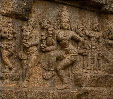
Shevaroy hills, Kaveri infrastructure and a western interior city
Salem District: History, Places and Travel Guide
Salem district joins a hill-ringed urban and industrial centre to the Shevaroy plateau, Kaveri-side Mettur, eastern farming and market towns, temple landscapes and long transport corridors. It is commonly associated with the broader Kongu cultural region, but Kongu Nadu is not a modern administrative district and does not define every community or landscape here.On this page
District overview
Understanding Salem district
The present district includes Salem, Yercaud, Mettur, Attur, Sankari, Omalur and other taluks. Namakkal and Dharmapuri are separate districts today, even though older Salem records cover parts of both.[salemHistory]
Salem city is a practical hub, not a shorthand for the district. Yercaud occupies the Shevaroy Hills; Mettur is organized around the Kaveri and major water infrastructure; Attur and Gangavalli connect to a different eastern corridor.
Why it matters
Why explore Salem?
The district makes upland-lowland relationships visible: hill catchments, plantations and horticulture connect to plains markets, while the Kaveri at Mettur connects the district to statewide water and power histories.
Steel, textiles, sago-linked activity, silver work, trade and services belong to modern Salem's identity, but no unstable production ranking is used.[salemAbout][salemGlance]
Temples, archaeological evidence, Sankari Fort and industrial infrastructure show that the district cannot be reduced to a hill-station excursion.
Land and water
Geography and regional identity
Salem is surrounded by hill systems and hillocks, including the Shevaroy range around Yercaud and other Eastern Ghats formations.[salemAbout]
The Kaveri reaches the district's Mettur side, where the Stanley Reservoir and dam form infrastructure, settlement and agricultural history rather than a guaranteed recreation site.[salemPlaces]
Plains heat, hill rain and reservoir-side conditions can differ in one itinerary. Public viewpoints do not imply access to plantations, quarries, industrial grounds or every water edge.
Evidence and change
Historical overview
Material evidence in the wider Salem region reaches into prehistory. Site-specific archaeological interpretation is safer than assigning every find to one modern identity.[salemHistory][tnArch8c]
Chera, Chola, Pandya, Hoysala, Vijayanagara, Nayak and Mysore-era contexts appear in different places and records; no single dynasty explains the district.
Sankari Fort is associated with strategic routes and resistance memory. Its phases should be read through protected-monument evidence rather than a single heroic episode.
Modern administrative division created separate Dharmapuri and Namakkal districts. Industrial, railway and cinema histories later reshaped Salem city and its regional role.[salemHistory]
Continue with Tamil Nadu history →Within the district
Cities, towns and local centres
These are district contexts, not newly created destination pages.Salem
A major urban, transport, market, educational and manufacturing centre.
Yercaud
A highland settlement whose ecology, plantations and local communities matter beyond viewpoints.
Mettur
Dam, reservoir, industry and worker histories define a separate district cluster.
Attur
Markets, agriculture and routes toward the eastern interior shape the town.
Sankari
A strategic hill-fort landscape and present-day regional centre.
Living and protected places
Temples and spiritual places
Sugavaneswarar Temple
A living Shaiva temple in Salem city; confirm worship and festival arrangements.
Tharamangalam Kailasanathar context
A sculpture-rich living temple whose chronology should follow inscriptions and scholarship.
Servarayan Temple context
A sacred hill landscape in Yercaud; local worship and environmental limits take priority.
Interpret carefully
Heritage and architecture
Sankari Fort
A protected strategic hill landscape connected to Mysore and Company-era conflict.
Salem city institutions
Markets, rail, industry and early Tamil cinema broaden urban heritage.
Mettur infrastructure
Dam, reservoir and planned industrial growth changed settlement and work.
Shevaroy cultural landscape
Plantations and visitor infrastructure sit within older ecological and community histories.
Living knowledge
Culture, food and regional products
Culture and festivals
Salem's cultural life includes city institutions, village and urban temple traditions, hill-community histories, textiles, cinema memory and regional markets.
Association with Kongu culture should remain approximate and plural; Attur-side, hill and Kaveri-side communities do not collapse into one district style.
Annual festivals require current organizer information. Living worship is not staged visitor entertainment.
Food and cuisine
Food reflects plains agriculture, hill produce, markets and wider western Tamil cooking. Mangoes and sago-linked foods are associated with Salem, but season and provenance need current, producer-specific evidence.
Kongunadu cuisine is useful regional context, not proof that every Salem household cooks an identical repertoire.
No restaurant, orchard or product is ranked as original, largest or best.
Making and provenance
Regional products and crafts
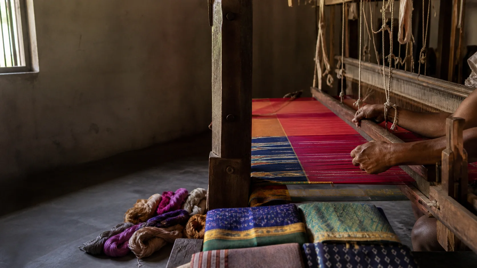
Salem Fabric is listed in official GI records; a familiar place name alone does not authenticate every cloth.[gi8c][handloom8c]
Silver anklets, textiles, rope-making and agricultural products belong to district making traditions, but each purchase should identify maker and material.
Steel and other manufacturing are described at sector level without live output, employment or market-share claims.
Landscape first
Nature and wildlife
The Shevaroy Hills and other hill systems contain forest, plantation, farm and settlement mosaics rather than untouched wilderness.
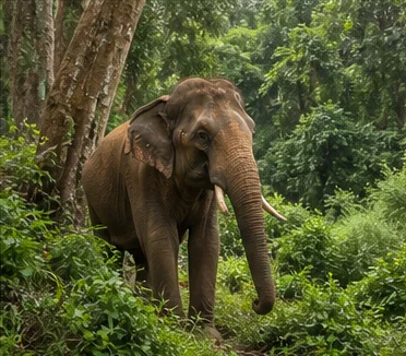
Kurumbapatti and other managed nature sites have current rules. Wildlife sightings, waterfalls and lake activities are never guaranteed.[salemPlaces][tnForest8c]
Visitors should use authorized routes, avoid feeding wildlife and respect farm or plantation boundaries.
Work and change
Economy and livelihoods
Manufacturing, steel processing, textiles, sago-linked enterprise, agriculture, trade, education, transport and services shape different parts of the district.
Mettur's water and industrial infrastructure has statewide significance while also carrying local environmental and labour histories.
No live factory access, production number or superlative is published.
Build a coherent route
Places to explore in Salem
Salem city
Combine markets, institutions, temple context and industrial history.
Yercaud
Stay long enough to understand ecology and settlement beyond viewpoints.
Mettur
Use only permitted public areas and current access guidance.
Sankari
Confirm protected-site access and prepare for exposed terrain.
Attur and Aragalur side
Treat temples, agriculture and towns as a separate day.
Tharamangalam
Read sculpture alongside living worship.
Choose your pace
Things to do
Compare hills and plains
See how elevation changes crops, weather and movement.
Read infrastructure historically
Connect Mettur's engineering to settlement, water and work.
Follow textile provenance
Ask who made the cloth and whether a GI claim is supported.
Build a Salem-based escape
Use the existing weekend guide while checking current hill conditions.
Conditions, not promises
Best season and current checks
Plains can be hot while Yercaud is cooler or wetter; use separate forecasts for the actual route.
Reservoir levels, waterfall flow and festival crowds are current conditions, not evergreen promises.
This evergreen guide does not publish a forecast, road status, forest opening, train operation, festival date, crowd prediction or other live condition. Check responsible authorities close to travel.[imd8c]
Plan by days
Suggested duration
One day
Focus on Salem city or Yercaud, not both at checklist speed.
Two days
Pair Salem with Yercaud, or Salem with Mettur and Sankari as a separate route.
Three or more days
Add Attur-side heritage or a slower hill stay without crossing the district repeatedly.
Regional access
How to reach
By rail
Salem is a major rail junction; other stations serve Mettur, Attur and Sankari corridors. Check current trains.
By road
National and state roads connect western, central and northern Tamil Nadu; hill roads need extra time.
By air
Confirm practical current air service and ground connections rather than assuming a flight.
Local movement
Getting around
City buses, autos and taxis suit Salem; inter-town and hill travel needs a planned route and realistic return time.
Map links support orientation only. Confirm actual routes, last-mile transport, accessibility, parking and return options locally.
Place-name links
Map of Salem district
No fabricated coordinates or heavy map embed are used.Continue geographically
Nearby districts
Continue by subject
Related My Tamil Nadu guides
Practical planning
Save a district checklist
Saved only in this browser. No login or personal data is needed.
Questions
Frequently asked questions about Salem
Is Salem district the same as Salem city?
No. Salem city is the headquarters within a much larger district extending to the Shevaroy Hills, Mettur and the Attur side.
How many days are useful for Salem?
Two days gives a focused introduction. Three or more days is better when hill, forest, industrial or distant town clusters are included.
Are opening hours, fares and current schedules listed?
No. Operational information changes and must be checked with the responsible district, temple, museum, forest or transport authority.
Can the whole district be covered in one day?
A district is an administrative area, not one attraction. Use a single day for one compact cluster.
What should be checked before travel?
Check Yercaud hill roads and weather, reservoir access, monument and temple arrangements, industrial boundaries and transport.
Are the images documentary photographs?
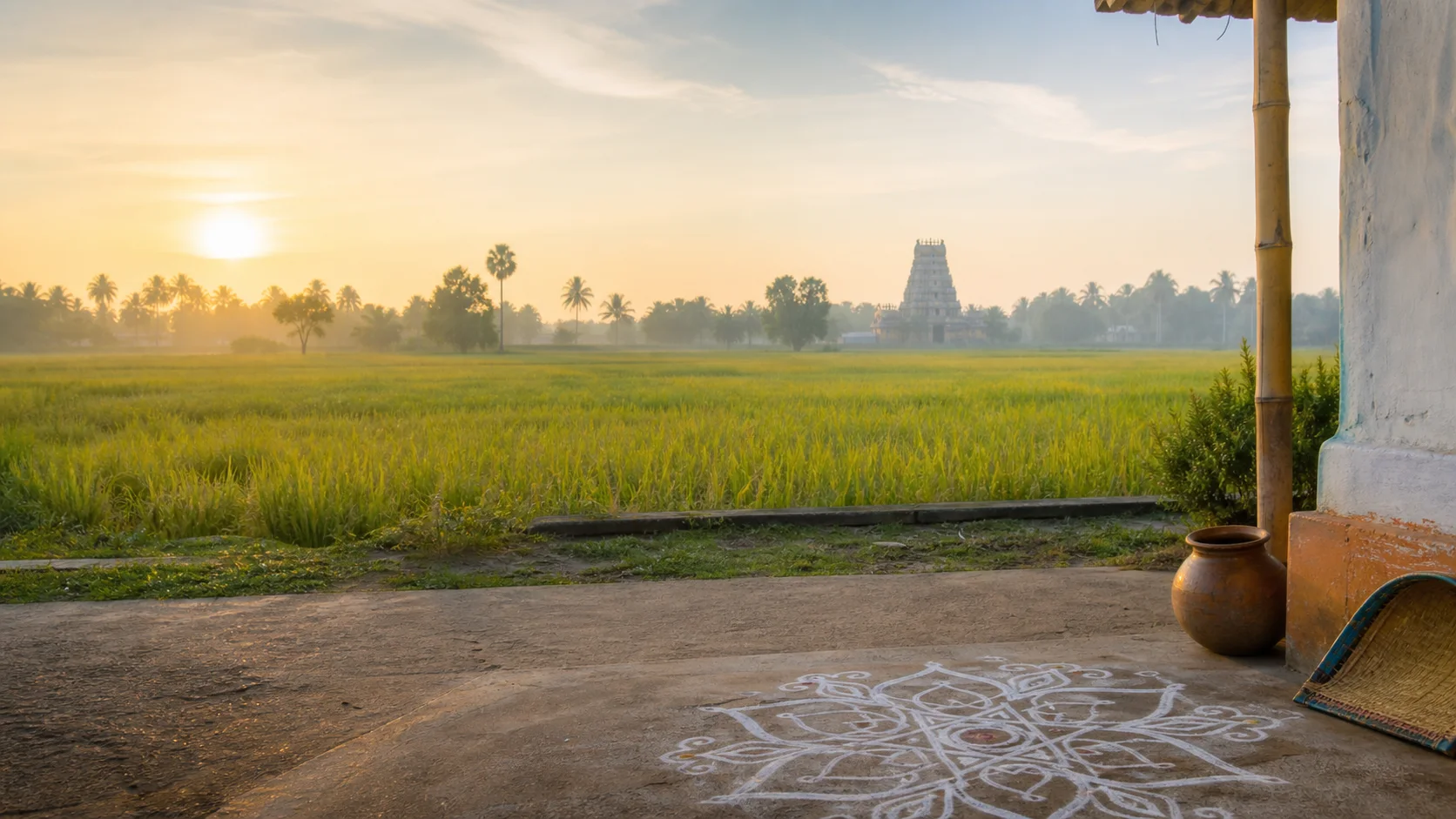
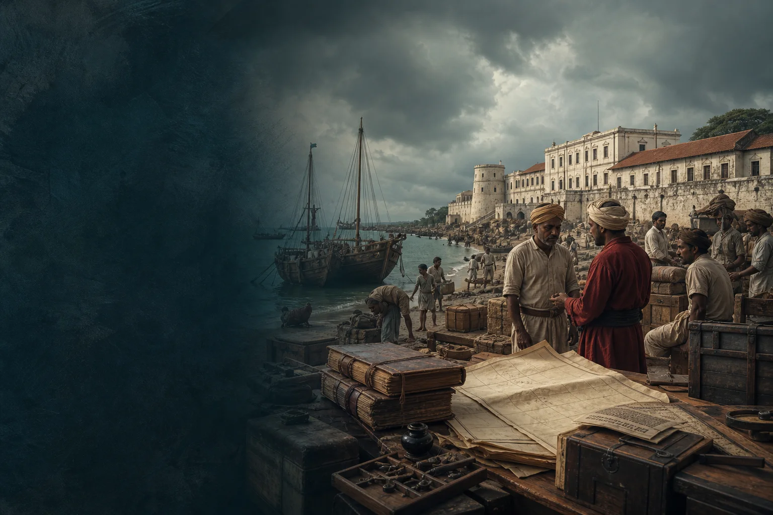
No. They are project-created editorial visuals and are labelled as non-documentary.
How does the map work?
It opens place-name searches in Google Maps without publishing guessed coordinates or loading a heavy embedded map.
Editorial trust
Sources and further reading
Major factual claims were checked against authoritative references. Last reviewed 9 August 2026.- About Salem districtSalem District Administration · Official district profileReviewed 9 August 2026
- History of Salem districtSalem District Administration · Official district historyReviewed 9 August 2026
- Tourist places in Salem districtSalem District Administration · Official district visitor recordReviewed 9 August 2026
- Salem at a glanceSalem District Administration · Official district profileReviewed 9 August 2026
- Registered Geographical Indications in IndiaIntellectual Property India · Official GI registerReviewed 9 August 2026
- GI registered handloom productsOffice of the Development Commissioner for Handlooms · Government handloom registerReviewed 9 August 2026
- Forests, protected areas and visitor contextTamil Nadu Forest Department · State governmentReviewed 9 August 2026
- National Train Enquiry SystemIndian Railways · Official transportReviewed 9 August 2026
- Regional Meteorological Centre ChennaiIndia Meteorological Department · Official weather authorityReviewed 9 August 2026