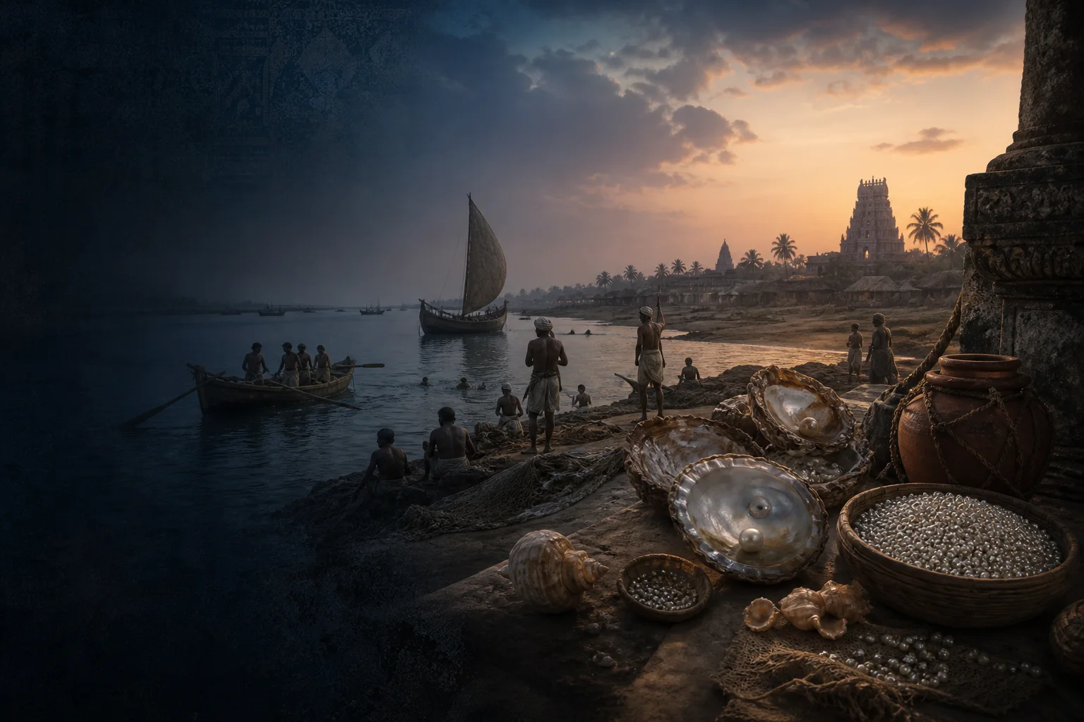
Tamiraparani river country, temple city and southern history
Tirunelveli District: History, Places and Travel Guide
Tirunelveli district is a varied southern landscape organised around the Tamiraparani river system, the Tirunelveli-Palayamkottai urban pair, fertile settlements, sacred sites, foothills and a coastal edge. Tenkasi has been a separate district since 2019, so Courtallam and Sankarankovil are not placed in this guide.On this page
District overview
Understanding Tirunelveli district
The current district is bounded differently from the much larger historical Tirunelveli region. Official district material records the separation of Thoothukudi and, later, Tenkasi; older books may therefore place present-day sites under Tirunelveli even when they now lie elsewhere.[tirunelveliAbout][tirunelveliHistory]
Tirunelveli city, Palayamkottai, Ambasamudram-side river country, Nanguneri and the Radhapuram coast belong to different local contexts. This guide keeps them connected without flattening the district into one city itinerary.
Why it matters
Why explore Tirunelveli?
The Tamiraparani links upland catchments, irrigation, settlements, worship and food-producing landscapes. It is best understood as a living river system, not merely a scenic stop.
Tirunelveli-Palayamkottai joins a historic temple and market centre to educational, administrative and residential institutions.
The district also provides an important boundary lesson: Courtallam belongs to Tenkasi district, while Adichanallur and Korkai belong to Thoothukudi district today.[tirunelveliAbout]
Land and water
Geography and regional identity
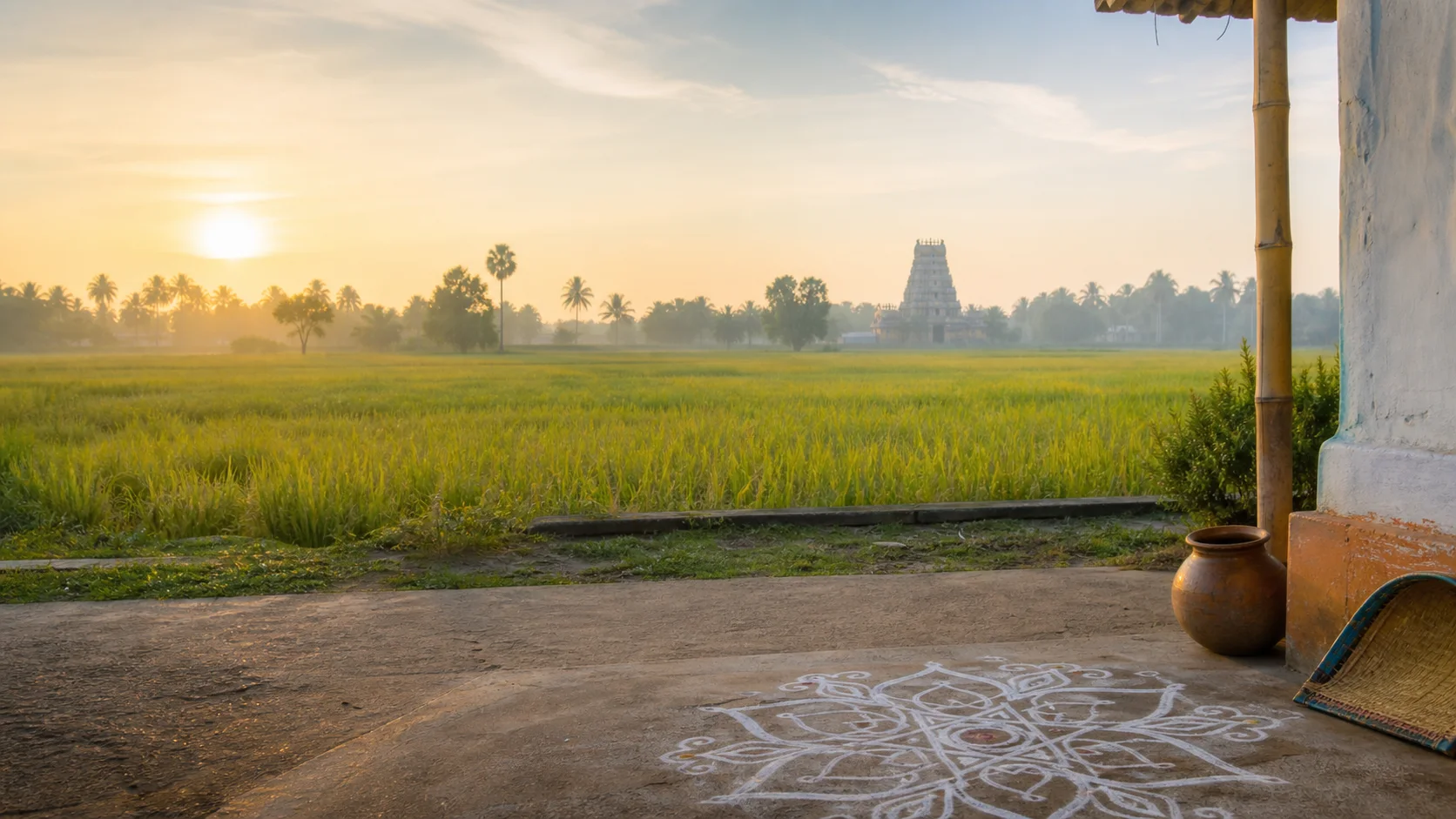
The district runs from the Western Ghats edge across the Tamiraparani basin toward the Gulf of Mannar. River channels, tanks, cultivated plains, dry tracts and coast require different seasonal expectations.[tirunelveliAbout]
The Tamiraparani is central to regional identity and water use. Visitors should avoid presenting every riverbank as public recreation space; local access, worship and safety rules matter.
Papanasam and Manimuthar sit in foothill-water contexts where rain, releases, forest rules and road conditions can change.[tirunelveliPlaces]
Evidence and change
Historical overview
Pandya, Chola, later Pandya, Vijayanagara and Nayak histories are visible through inscriptions, temple fabric and settlement patterns, but no single dynasty explains the whole district.[tirunelveliHistory]
Tirunelveli became an important southern administrative centre under later regimes. Colonial-era district names covered areas far beyond the modern boundary, which is why historical locations must be reclassified carefully.
Palayamkottai developed military, mission, educational and civic roles beside Tirunelveli. Their linked urban history is more useful than treating them as interchangeable names.
Archaeology in the wider Tamiraparani region is significant, but excavated sites must be assigned to their present districts and interpreted through excavation reports rather than civilisational slogans.[tnArch8b]
Continue with Tamil Nadu history →Within the district
Cities, towns and local centres
These are district contexts, not newly created destination pages.Tirunelveli
Temple streets, markets, civic life and the river define the historic city context.
Palayamkottai
Education, institutions and residential growth form a related but distinct urban history.
Ambasamudram
A base for understanding Tamiraparani settlements and the Western Ghats edge.
Nanguneri
Temple and agrarian contexts connect the central plains to the district's south.
Radhapuram
Dry tracts, coast and energy landscapes differ from the riverine west.
Living and protected places
Temples and spiritual places
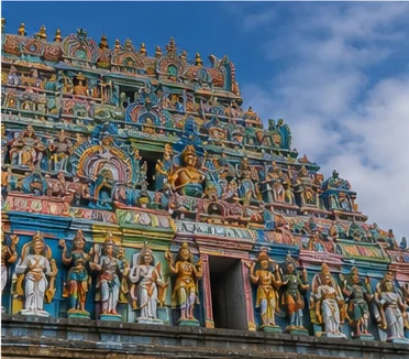
Nellaiappar-Kanthimathi Temple
A major living Shaiva complex at the heart of Tirunelveli; verify worship and festival arrangements officially.
Open full guidePapanasanathar Temple context
A living sacred landscape near the Tamiraparani foothills where ritual use and environmental care meet.
Nanguneri Vanamamalai context
A Vaishnava pilgrimage centre whose current access belongs to temple authorities.
Interpret carefully
Heritage and architecture
Tirunelveli-Palayamkottai streets
Temple, market, educational and civic layers reward neighbourhood-scale reading.
Tamiraparani settlements
Channels, tanks, ghats and cultivated land are cultural infrastructure as well as geography.
Regional museums and inscriptions
Collections and epigraphy should be used to test, not decorate, historical claims.
Living knowledge
Culture, food and regional products
Culture and festivals
Nellai identity is carried through Tamil speech, devotional practice, music, markets, education and memories of the wider historical region.
Temple festivals are living civic events. Exact annual dates and traffic arrangements must come from organizers or district authorities.
Folk performance and village traditions vary across river, dry-zone and coastal communities; one programme cannot represent the whole district.
Food and cuisine
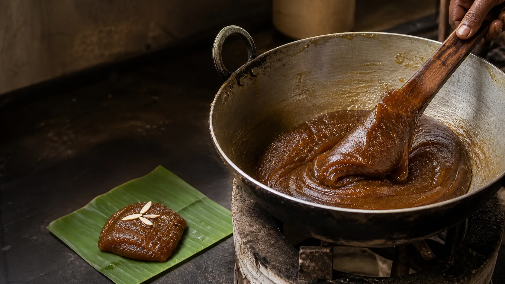
Tirunelveli halwa is strongly identified with the city, but claims about an original shop or single inventor remain contested and are not repeated here.
The district's food also includes rice-based meals, pulses, vegetables, river-basin produce and wider southern Tamil preparations.
A product sold under a place name is not automatically a registered GI; legal status requires the official registry.[gi8b]
Making and provenance
Regional products and crafts
Halwa is the best-known city-associated food tradition; technique, freshness and business lineage should be described without unsupported exclusivity.
Agricultural and craft traditions differ by subregion. Purchase claims should identify maker, material and place rather than use a vague Nellai label.

Landscape first
Nature and wildlife
Foothill forests and water bodies require current Forest Department and district guidance. Wildlife sightings are never promised.[tnForest8b]
Waterfall or river access is conditional on rain, releases and local safety controls.
The coastal edge belongs to the Gulf of Mannar setting and should be approached as a working and ecologically sensitive landscape.
Work and change
Economy and livelihoods
Agriculture, trade, education, services, small industry and energy landscapes all contribute to the district economy.
No current production share, employment total or market ranking is published without a dated official statistical source.
Markets and transport connect hill-edge, river-plain and coastal communities, explaining why the district cannot be represented by one urban centre.
Build a coherent route
Places to explore in Tirunelveli
Tirunelveli and Palayamkottai
Pair temple streets, markets and civic institutions rather than rushing between monuments.
Ambasamudram river country
Read channels, settlements and foothills together.
Papanasam context
Verify water, road and forest conditions before setting out.
Manimuthar foothills
Treat dam and falls access as conditional, not guaranteed.
Nanguneri
A focused southern-district stop with current temple checks.
Radhapuram coast
Use local safety advice and respect working shorelines.
Choose your pace
Things to do
Walk a twin-city heritage route
Compare temple, market, educational and civic layers at a realistic pace.
Follow the river as a theme
Connect water, settlement, worship and cultivation without entering unsafe banks.
Taste halwa critically
Focus on technique and city identity rather than unsupported original-shop claims.
Study the district boundary
Use current maps to understand why famous older Tirunelveli sites now fall in other districts.
Conditions, not promises
Best season and current checks
Dry heat, monsoon rain and foothill conditions vary across the district. A comfortable urban day does not predict river or hill safety.
Festival crowds and school-holiday traffic can change movement; verify current arrangements.
This evergreen guide does not publish a forecast, waterfall-flow status, sea condition, forest opening, festival date or crowd prediction. Check the linked authorities close to travel.[imd8b]
Plan by days
Suggested duration
One day
Keep to Tirunelveli-Palayamkottai and one heritage theme.
Two days
Add Ambasamudram-side river country or Nanguneri, not both ends at speed.
Three or more days
Separate urban heritage, river/foothill landscapes and the southern or coastal side.
Regional access
How to reach
By rail
Tirunelveli is a major rail orientation point; verify the train and station close to travel.
By road
Regional highways connect Madurai, Tenkasi, Thoothukudi and Kanniyakumari, but road conditions and stopping patterns change.
By air
Use the most practical current regional airport and confirm onward transport rather than relying on a fixed transfer time.
Local movement
Getting around
City autos, buses and hired vehicles serve different trip shapes. Foothill and coastal routes need a confirmed return plan.
Place-name map links support orientation only. Confirm the actual route, last-mile transport, parking, accessibility and return options locally.
Place-name links
Map of Tirunelveli district
No fabricated coordinates or heavy map embed are used.Map data is not embedded on this lightweight page. Open a place-name search in Google Maps for current roads, business details and directions.
Continue geographically
Nearby districts
Continue by subject
Related My Tamil Nadu guides
Practical planning
Save a district checklist
Saved only in this browser. No login or personal data is needed.
Questions
Frequently asked questions about Tirunelveli
Is Tirunelveli district the same as Tirunelveli city?
No. The twin urban centres of Tirunelveli and Palayamkottai are only part of a district extending west to hill landscapes and southeast to the coast.
How many days are useful for Tirunelveli?
Two days gives a focused introduction; three or more days works better when the district combines distant landscapes or major heritage clusters.
Are opening hours and ticket prices listed?
No. Operational details change and must be confirmed with the responsible temple, museum, forest, district or transport authority.
Can the whole district be covered in one day?
A single day should focus on one geographic cluster. A district is an administrative area, not one compact attraction.
What should be checked before travel?
Check heat, rain, river or waterfall conditions, hill-road access, temple arrangements and current transport.
Are the images documentary photographs?
No. They are project-created editorial visuals and are labelled as non-documentary.
Does this guide guarantee transport or access?
No. Rail, bus, road, protected-area and coastal conditions need a current official check.
How does the map work?
It opens place-name searches in Google Maps without publishing invented coordinates or loading a tracking-heavy embedded map.
Editorial trust
Sources and further reading
Major factual claims were checked against authoritative references. Last reviewed 9 August 2026.- About Tirunelveli districtTirunelveli District Administration · Official district profileReviewed 9 August 2026
- History of Tirunelveli districtTirunelveli District Administration · Official district historyReviewed 9 August 2026
- Tourist places in Tirunelveli districtTirunelveli District Administration · Official district visitor recordReviewed 9 August 2026
- Nellaiappar Temple and district festival contextTirunelveli District Administration · Official district recordReviewed 9 August 2026
- Archaeology and epigraphy resourcesTamil Nadu State Department of Archaeology · State archaeology authorityReviewed 9 August 2026
- Forests, protected areas and visitor contextTamil Nadu Forest Department · State governmentReviewed 9 August 2026
- Regional Meteorological Centre ChennaiIndia Meteorological Department · Official weather authorityReviewed 9 August 2026
- National Train Enquiry SystemIndian Railways · Official transportReviewed 9 August 2026