Southern Western Ghats watershed and protected landscape
Kalakkad-Mundanthurai: Forests, Rivers and Tiger Reserve Landscape
Explore a major forest and river-source landscape without confusing conservation importance with guaranteed visitor access or wildlife sightings.
Ecological context
Why This Landscape Matters
Kalakkad-Mundanthurai Tiger Reserve, often abbreviated KMTR, is a notified tiger reserve in Tamil Nadu's southern Western Ghats. National Tiger Conservation Authority profiles describe it through Kalakkad and Mundanthurai sanctuaries and connected protected contexts. Current Tamil Nadu policy records the tiger reserve across Tirunelveli, Tenkasi and Kanniyakumari district contexts.[1][6]
On this page
Nature guide
One tiger reserve, several protected-area layers
Kalakkad-Mundanthurai Tiger Reserve, often abbreviated KMTR, is a notified tiger reserve in Tamil Nadu's southern Western Ghats. National Tiger Conservation Authority profiles describe it through Kalakkad and Mundanthurai sanctuaries and connected protected contexts. Current Tamil Nadu policy records the tiger reserve across Tirunelveli, Tenkasi and Kanniyakumari district contexts.[1][6]
Tiger Reserve, Wildlife Sanctuary, Biosphere Reserve and Western Ghats are not interchangeable labels. Each refers to a different legal, management or geographic layer. A public road, dam or settlement near KMTR should not automatically be described as inside the reserve.
Nature guide
Steep terrain at the far south of the Western Ghats
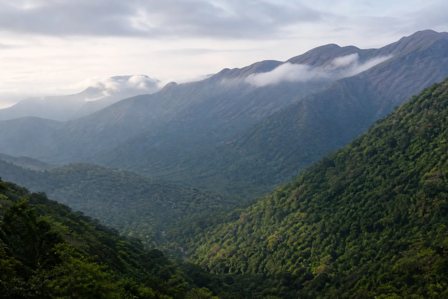
KMTR occupies rugged southern mountain terrain with strong changes in elevation, rainfall and exposure. Official profiles describe a range of forest types from thorn and dry deciduous formations to moist, evergreen, riparian and high-elevation habitats.[1][2]
The landscape connects east-facing plains with high ridges and wetter western influence. This creates ecological variety over short distances. The hero image is a broad editorial interpretation and does not document forest condition, a trail or a current public viewpoint.
Nature guide
A forest landscape that feeds rivers
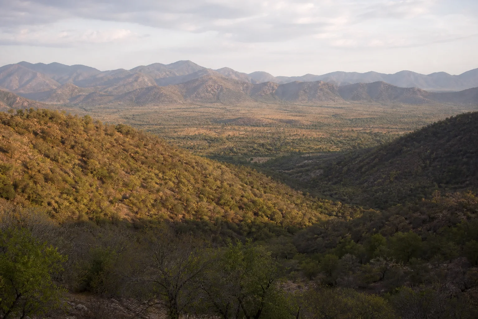
NTCA records emphasize the reserve's watershed role and rivers arising within its forested mountains.[1] These waters connect protected uplands with dams, irrigation, farms, towns and ecosystems on the plains. River importance does not make every water body a recreation site.
Rainfall can alter streams, reservoirs, roads, landslip risk and visibility. This page does not publish live dam levels, waterfall flow or road access. Follow district, water-resource and Forest Department instructions, and never enter spillways, restricted catchments or closed roads.
Nature guide
Agasthyamalai context without label drift
Official tiger-reserve profiles place KMTR within the interstate Agasthyamalai Biosphere Reserve context.[1][2] Biosphere Reserve is a wider conservation-planning designation; it does not mean every place carrying the Agasthyamalai name is inside KMTR or open to visitors.
The Western Ghats UNESCO World Heritage property is also a serial property of specific components, not a blanket label for all southern slopes.[7] Use official maps for each designation and avoid adding UNESCO language to a location unless the relevant component is verified.
Nature guide
Representative species and habitat
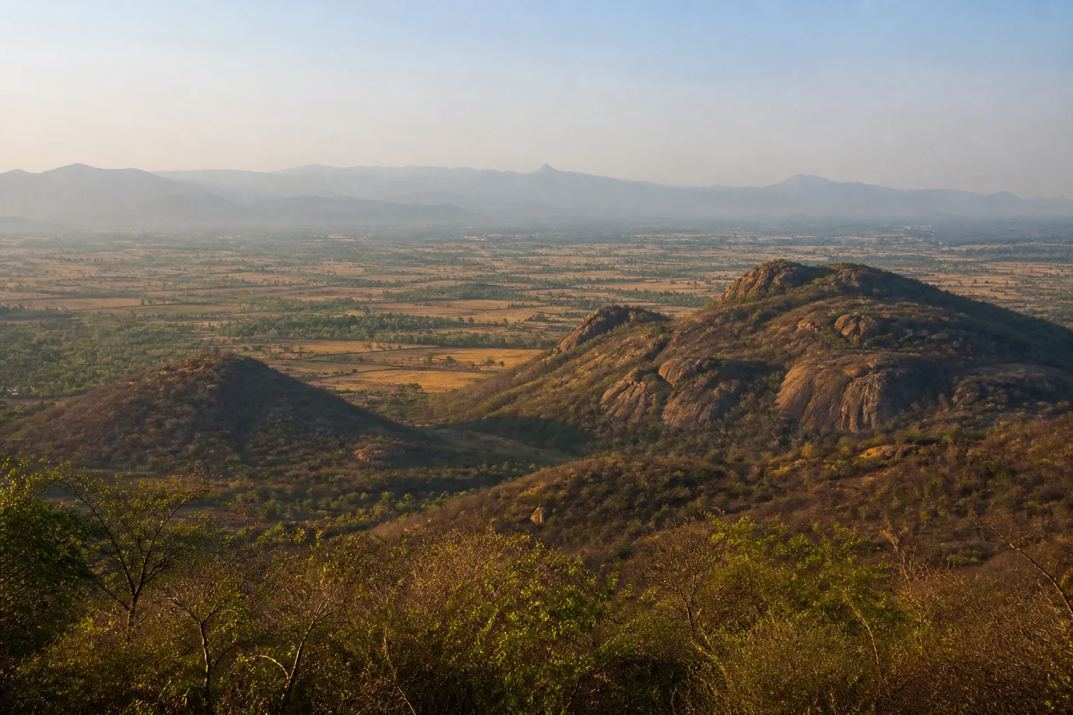
Tiger, Asian elephant, leopard, lion-tailed macaque, Nilgiri langur and other species are documented in official accounts of the wider reserve landscape.[1][2] Their presence reflects connected habitat and conservation work, not a visitor itinerary.
No sighting is guaranteed. Do not seek nests, dens, salt licks or movement routes, and do not share precise wildlife coordinates. If an animal appears on a permitted route, keep distance, remain quiet and follow ranger instructions.
Nature guide
Settlements, work and conservation
The wider reserve context includes forest staff, infrastructure, settlements and communities with varied histories and livelihood relationships. These relationships are complex and require careful, locally grounded editorial review. This page does not present indigenous communities as attractions or make claims about a single traditional lifestyle.
Respect checkpoints, private and institutional land, homes and work sites. Ask before photographing people. Do not seek access through settlements when an official visitor route is closed, and do not treat local knowledge as permission to bypass management rules.
Nature guide
Protected-area status does not guarantee entry
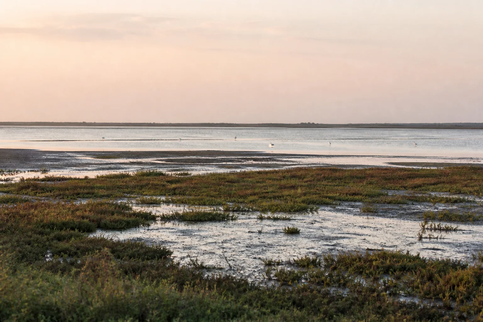
KMTR's conservation importance does not create a general right of access. Gates, roads, dams, viewpoints, pilgrimage movement and visitor arrangements may be controlled by different authorities and can change for weather, fire, wildlife, maintenance or security. Verify the exact place and responsible authority before travel.[5][4]
Use only authorized visitor systems and stay within permitted zones. Do not trek, camp, light fires, drone, swim or enter forest through an unsigned path. Accept closures without asking an operator to find an unofficial alternative.
Nature guide
Use the correct district for each approach
Tirunelveli, Tenkasi and Kanniyakumari provide different administrative and route contexts around the tiger reserve. Tirunelveli is a major plains-side city and transport centre; Tenkasi connects to the northern side of the southern Ghats; Kanniyakumari covers the far-southern district context. These are not interchangeable gateways.
Match a named destination or authorized visitor place to its current district before planning. Use district guides for towns and broader transport, then confirm protected-area access with the Forest Department. Do not estimate cross-mountain travel from straight-line distance.
Nature guide
Weather and access require a current check
The southern Western Ghats receive rain from complex seasonal patterns, and conditions vary across ridge, valley and plains. Heavy rain, heat, fire risk, fog and road work can all change a visit. No month guarantees open roads, clear viewpoints or comfortable forest conditions.
Check IMD weather and responsible district or Forest Department notices close to travel.[8] Carry water and suitable layers, plan daylight travel and keep a plains-side alternative. A responsible journey remains worthwhile even when the protected landscape cannot be entered.
Habitat context
Wildlife You May Encounter
These representative examples are supported by the sources on this page. They are not a sighting promise, and sensitive locations are intentionally omitted.
Tiger
Large connected forest habitat
Presence does not imply a likely sightingAsian elephant
Forest and movement landscape
Keep distance and routes clearLion-tailed macaque
Wet evergreen forest context
No sensitive locations are publishedNilgiri langur
Southern Western Ghats forest
Observe only through permitted systemsSeasonal lens
Nature Through the Year
Conditions vary with rainfall and year. Use the statewide month guides for broad context, then check the responsible authority for current conditions.
Explore Tamil Nadu by Month- Landscape
- Strong seasonal interest
- Conditions
- Weather-dependent
- Planning
- Verify current access
General location only
Open a map handoff
The map opens a broad landscape or visitor destination. It does not reveal nests, dens, breeding areas, restricted islands or sensitive wildlife coordinates.
Private planning tool
Nature Trip Checklist
0 of 10 readySaved only in this browser. No login or personal data is required.
Questions
Frequently asked questions
Does this guide provide live access information?
No. Access, roads, permits, boat services and visitor arrangements can change. Confirm current conditions with the responsible Forest Department, district administration or site authority.
Are wildlife or bird sightings guaranteed?
No. Species are included only as representative habitat context. Never chase an encounter, approach wildlife or enter a restricted area for a photograph.
Can I rely on the map for protected-area boundaries?
No. The map handoff is a broad public place-name search, not a legal boundary, trail, gate or permission map. Use current official instructions.
Does the page publish sensitive wildlife locations?
No. Nests, breeding areas, dens, movement routes and other sensitive coordinates are deliberately omitted.
What should I verify close to travel?
Check weather, road conditions, access, permits, official warnings and any local restrictions. Keep an alternative plan if conditions change.
Which districts connect with KMTR?
Current Tamil Nadu policy records the tiger reserve in Tirunelveli, Tenkasi and Kanniyakumari district contexts.
Is KMTR the same as the Agasthyamalai Biosphere Reserve?
No. KMTR is a tiger reserve within a wider interstate biosphere-reserve context; the boundaries and designations are not interchangeable.
Media record
Images with explicit provenance
All Phase 10 visuals are project-created editorial interpretations. They support learning and layout but do not document a sighting, current habitat condition or site access.
Editorial trust
Sources & Further Reading
These are the sources actually consulted for this guide. Protected-area, UNESCO, Ramsar, species, habitat and geographic claims are cited inline. Reviewed 22 August 2026.
- Kalakkad Mundanthurai Tiger Reserve profileNational Tiger Conservation Authority · 2018Accessed 22 August 2026
- An Illustrative Profile of Tiger Reserves of IndiaWII-EIACP and National Tiger Conservation Authority · 2023Accessed 22 August 2026
- Tiger Reserves of IndiaNational Tiger Conservation Authority · 2026Accessed 22 August 2026
- Tiger ReservesTamil Nadu Forest Department · 2026Accessed 22 August 2026
- Forests, wildlife and conservation in Tamil NaduTamil Nadu Forest Department · 2026Accessed 22 August 2026
- Environment, Climate Change and Forests Policy Note 2025-26Government of Tamil Nadu · 2025Accessed 22 August 2026
- Western GhatsUNESCO World Heritage Centre · 2012Accessed 22 August 2026
- Regional Meteorological Centre ChennaiIndia Meteorological Department · 2026Accessed 22 August 2026