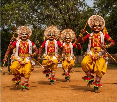
Knitwear city, Kongu plains and Amaravathi foothills
Tiruppur District: History, Places and Travel Guide
Tiruppur district is widely associated with knitwear and garment manufacturing, yet its current boundary also includes old temple towns, cattle and agricultural landscapes, the Amaravathi basin, Dharapuram, Kangayam and Udumalpet-side foothills. The district was formed by reorganizing parts of Coimbatore and Erode, so older records often use different administrative labels.On this page
District overview
Understanding Tiruppur district
Tiruppur district was inaugurated in 2009 after areas of Coimbatore and Erode districts were reorganized.[tiruppurAbout]
Current taluks include Tiruppur North and South, Avinashi, Uthukuli, Palladam, Dharapuram, Kangayam, Udumalpet and Madathukulam.[tiruppurRevenue]
Why it matters
Why explore Tiruppur?
Tiruppur city offers an important modern history of migration, labour, entrepreneurship, production networks and urban growth.
Avinashi and other temple contexts show that the district's history predates the modern knitwear economy.
Udumalpet, Amaravathi and Thirumoorthy-side landscapes connect western plains to protected Anamalai foothills.
Land and water
Geography and regional identity
The district spans Noyyal-side urban plains, dry and irrigated agricultural tracts, the Amaravathi basin and foothills toward the Western Ghats.
Tiruppur city and Udumalpet are different travel clusters; industrial traffic and slower foothill roads make map distance misleading.
Reservoirs, canals and protected forests have controlled access and should not be treated as open recreation space.
Evidence and change
Historical overview
The wider area forms part of the historical Kongu region, a cultural geography whose boundaries do not match the modern district.
Inscriptions and temple endowments at Avinashi and other sites document Chola, Pandya, Hoysala and later patronage without making the district the creation of one dynasty.[tiruppurTemples]
The 2009 district formation brought together areas formerly administered through Coimbatore and Erode.[tiruppurAbout]
Tiruppur's industrial growth transformed a town into a large manufacturing city. A responsible history includes workers, water, waste, housing and migration, not only export success.
Continue with Tamil Nadu history →Within the district
Cities, towns and local centres
These are district contexts, not newly created destination pages.Tiruppur
Manufacturing, labour, markets and rapid urban growth define the city.
Avinashi
Living Shaiva heritage and a major road corridor shape a separate centre.
Palladam
Production and farming connect the Tiruppur-Coimbatore plains.
Kangayam
Cattle, dryland farming and transport form a distinct Kongu context.
Dharapuram
Agriculture and older regional routes distinguish the southeast.
Udumalpet
A base for condition-checked Amaravathi and Thirumoorthy landscapes.
Living and protected places
Temples and spiritual places
Avinashi Lingeswarar Temple
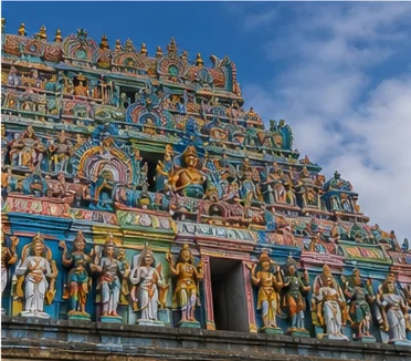
A major living Shaiva and inscriptional site; verify worship arrangements.
Sivanmalai Temple context
A hill temple near Kangayam with current road and festival controls.
Thirumuruganpoondi and Sukreeswarar contexts
Protected and living heritage requires site-specific interpretation.
Thirumoorthy Malai sacred context
Temple and foothill nature access should be planned separately.
Interpret carefully
Heritage and architecture
Avinashi temple town
Literature, inscriptions, worship and urban form provide a long historical layer.
Industrial cityscape
Factories, worker neighbourhoods and logistics are modern heritage, not visitor attractions by default.
Kangayam agrarian landscape
Cattle, water and dryland systems connect economy and culture.
Amaravathi infrastructure
Dam and irrigation history belongs beside protected-area ecology.
Living knowledge
Culture, food and regional products
Culture and festivals
The district includes industrial worker cultures, agrarian Kongu traditions, temple observances, markets and migration from many regions.
Kongu identity is not a single caste, menu or district label; it should be used with historical and social nuance.
Factories and worker neighbourhoods require consent and safety. They are not open-air exhibits.
Food and cuisine
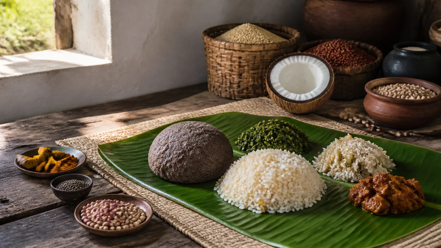
Food draws on western Tamil grains, pulses, coconut, vegetables, dairy and varied meat traditions, with major differences between urban workers' meals and rural households.
Kongunadu cuisine is a useful regional guide but does not make every dish exclusive to Tiruppur.
Kangayam and Udumalpet-side produce should be described by actual grower and market provenance.
Making and provenance
Regional products and crafts
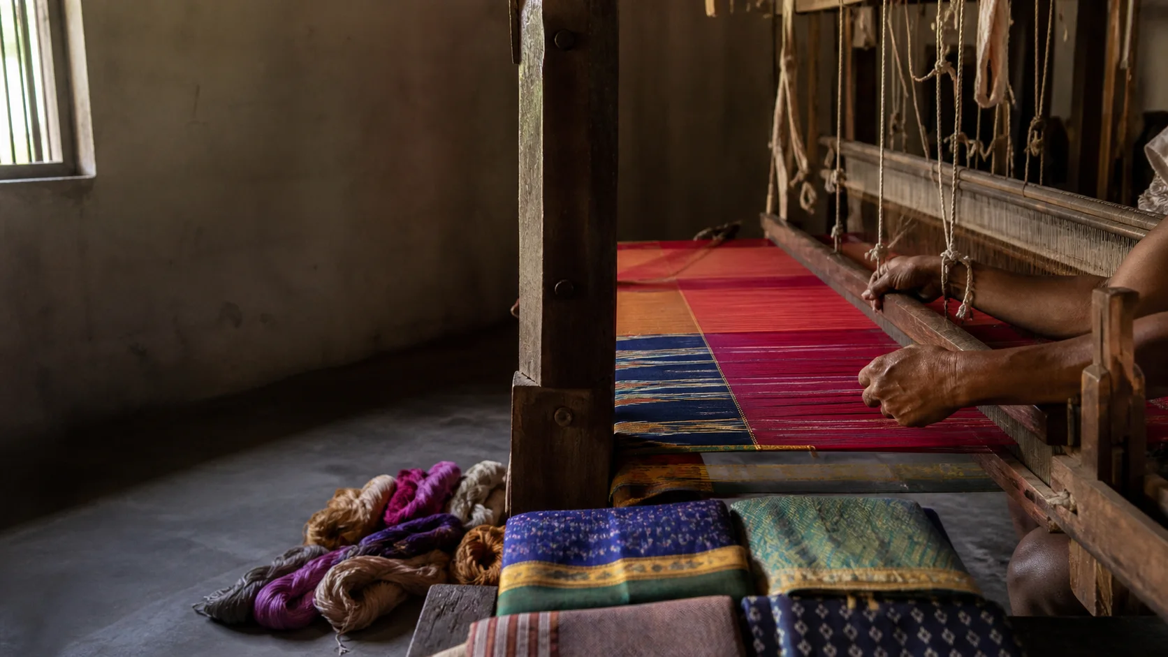
Knitwear, garments and textile processing are central to Tiruppur's economy; the city is described as a major manufacturing centre without unstable export totals or capital-style superlatives.
Traceability should include fibre, dyeing, stitching, labour and seller information rather than only a city label.
No product is assigned GI status unless it appears in the official register.[gi8c]
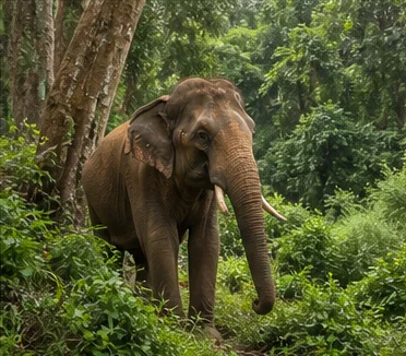
Landscape first
Nature and wildlife
The Amaravathi and Thirumoorthy sides approach protected Anamalai landscapes. Tamil Nadu Forest Department rules govern entry and activity.[tiruppurAmaravathi][tnForest8c]
Reservoir level, crocodile visibility, waterfall flow and wildlife sightings are never guaranteed.
Farms, grazing lands and forest edges are working or protected spaces, not unrestricted trails.
Work and change
Economy and livelihoods
Knitwear, garment production, textiles, engineering, agriculture, livestock, trade, transport and services shape different subregions.
Environmental management and labour conditions are essential to the textile story.
No current export value, factory count, employment total or market ranking is published.
Build a coherent route
Places to explore in Tiruppur
Tiruppur city
Explore public civic and market contexts unless an authorized visit exists.
Avinashi
Connect inscriptional history with living worship.
Kangayam
Read dryland farming, cattle and markets respectfully.
Dharapuram
Use it for a separate southeastern district context.
Udumalpet
Plan current routes toward permitted landscapes.
Amaravathi and Thirumoorthy context
Verify dam, forest and road access before departure.
Choose your pace
Things to do
Read an industrial city responsibly
Include labour, migration, water and environmental systems.
Follow an older sacred route
Use Avinashi and protected temple evidence.
Compare dryland and foothill farming
Observe only from public roads or invited programmes.
Plan one southern circuit
Group Udumalpet, Amaravathi or Thirumoorthy without overloading the day.
Conditions, not promises
Best season and current checks
Heat can dominate the plains while foothill rain and visibility differ.
Industrial access, reservoirs and forest roads require current confirmation.
This evergreen guide does not publish a forecast, road status, forest opening, train operation, festival date, crowd prediction or other live condition. Check responsible authorities close to travel.[imd8c]
Plan by days
Suggested duration
One day
Focus on Tiruppur city context or Avinashi.
Two days
Use one city-temple day and one Kangayam or Udumalpet-side day.
Three or more days
Separate textile urbanism, agrarian towns and protected foothills into realistic clusters.
Regional access
How to reach
By rail
Tiruppur and Udumalpet serve different rail corridors; verify current trains for the chosen route.
By road
Roads connect Coimbatore, Erode, Dindigul and Kerala-side approaches.
By air
Confirm the practical regional airport and onward transport.
Local movement
Getting around
City buses and autos serve urban areas; inter-town travel needs a timetable. Industrial premises require explicit permission.
Map links support orientation only. Confirm actual routes, last-mile transport, accessibility, parking and return options locally.
Place-name links
Map of Tiruppur district
No fabricated coordinates or heavy map embed are used.Map data is not embedded on this lightweight page. Open a place-name search in Google Maps for current roads, business details and directions.
Continue geographically
Nearby districts
Continue by subject
Related My Tamil Nadu guides
Practical planning
Save a district checklist
Saved only in this browser. No login or personal data is needed.
Questions
Frequently asked questions about Tiruppur
Is Tiruppur district the same as Tiruppur city?
No. Tiruppur city is the manufacturing headquarters; the district also extends through Avinashi, Kangayam, Dharapuram and Udumalpet to the Anamalai foothills.
How many days are useful for Tiruppur?
Two days gives a focused introduction. Three or more days is better when hill, forest, industrial or distant town clusters are included.
Are opening hours, fares and current schedules listed?
No. Operational information changes and must be checked with the responsible district, temple, museum, forest or transport authority.
Can the whole district be covered in one day?
A district is an administrative area, not one attraction. Use a single day for one compact cluster.
What should be checked before travel?
Check industrial visitor permission, temple arrangements, reservoir and protected-area access, heat, hill weather and current transport.
Are the images documentary photographs?
No. They are project-created editorial visuals and are labelled as non-documentary.
How does the map work?
It opens place-name searches in Google Maps without publishing guessed coordinates or loading a heavy embedded map.
Editorial trust
Sources and further reading
Major factual claims were checked against authoritative references. Last reviewed 9 August 2026.- About Tiruppur districtTiruppur District Administration · Official district profileReviewed 9 August 2026
- Temples in Tiruppur districtTiruppur District Administration · Official district visitor recordReviewed 9 August 2026
- Revenue taluksTiruppur District Administration · Official administrative recordReviewed 9 August 2026
- Amaravathi DamTiruppur District Administration · Official district visitor recordReviewed 9 August 2026
- Forests, protected areas and visitor contextTamil Nadu Forest Department · State governmentReviewed 9 August 2026
- Registered Geographical Indications in IndiaIntellectual Property India · Official GI registerReviewed 9 August 2026
- National Train Enquiry SystemIndian Railways · Official transportReviewed 9 August 2026
- Regional Meteorological Centre ChennaiIndia Meteorological Department · Official weather authorityReviewed 9 August 2026