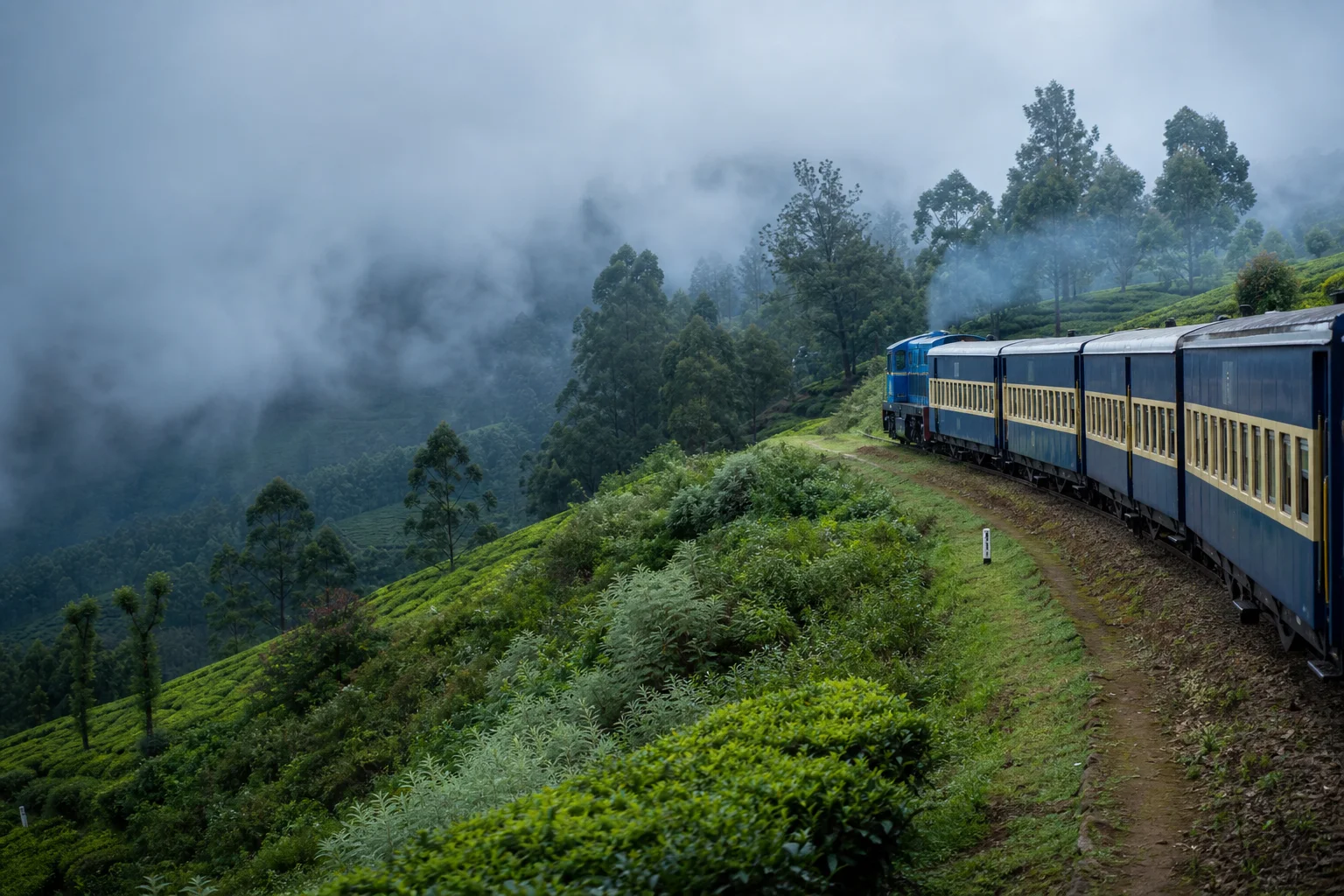
Western Ghats plateau, living highland communities and railway heritage
The Nilgiris District: History, Places and Travel Guide
The Nilgiris is a highland district at the Tamil Nadu-Kerala-Karnataka meeting zone, with Udhagamandalam, Coonoor, Kotagiri, Gudalur, Pandalur and Kundah set across sharply varied plateau and slope landscapes. Its story begins neither with Ooty nor colonial hill-station development: Indigenous communities, shola-grassland ecology and older routes precede plantations, institutions, rail and mass tourism.On this page
District overview
Understanding The Nilgiris district
Official district usage is The Nilgiris, with headquarters at Udhagamandalam and six taluks: Udhagamandalam, Kundah, Coonoor, Kotagiri, Gudalur and Pandalur.[nilgirisAbout][nilgirisRevenue]
The official district name is The Nilgiris; Nilgiris is retained only as natural shorthand. Ooty is one town and visitor base. Gudalur-Pandalur's western slopes and border connections differ from the upper plateau, while Kotagiri and Coonoor have their own town, plantation and community histories.
Why it matters
Why explore The Nilgiris?
The district contains globally important Western Ghats ecology, protected forests and watershed systems.
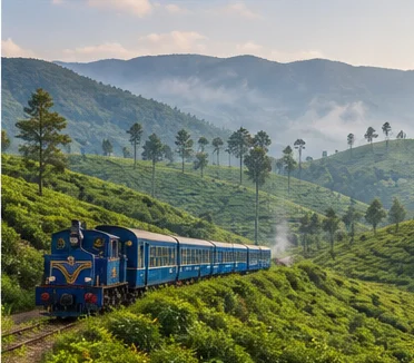
The Nilgiri Mountain Railway is one component of UNESCO's serial World Heritage property Mountain Railways of India. UNESCO inscription does not cover the entire district.[unescoNmr]
The district is home to distinct Indigenous and other highland communities whose histories and contemporary rights must not be compressed into visitor folklore.
Land and water
Geography and regional identity
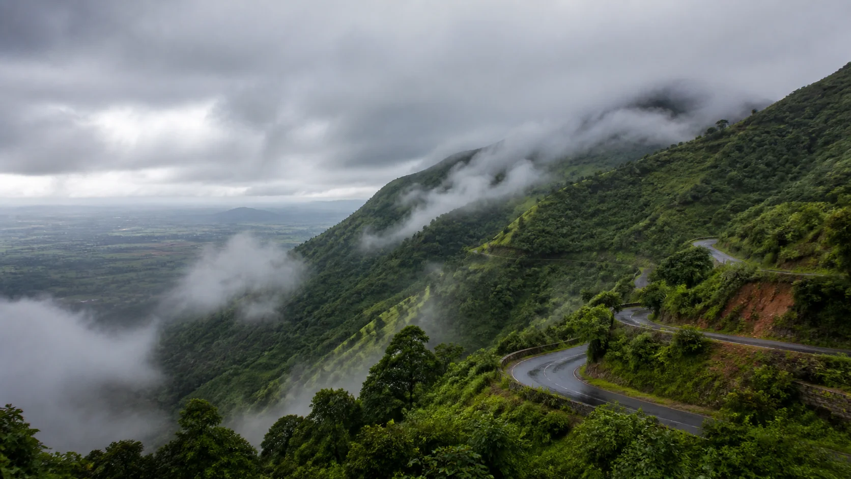
The district occupies a high plateau and surrounding slopes, with rolling and steep terrain, deep valleys, streams and major elevation change.[nilgirisAbout]
Shola forests and montane grasslands form connected ecological systems. Tea, vegetable farms, reservoirs, roads and towns are human-shaped landscapes within and around them.
Gudalur and Pandalur face different rain, forest and cross-border contexts from Udhagamandalam, Coonoor and Kotagiri. One forecast or road assumption cannot represent the district.
Evidence and change
Historical overview
Toda, Kota, Kurumba, Irula and other Indigenous communities have distinct languages, institutions, knowledge and relationships to land. Badaga histories are also important, but legal category, language and identity should not be conflated.[tribalList8c]
Company and later British administration developed Ooty as a hill station and institutional centre in the nineteenth century, changing land, transport and political authority.[nilgirisAbout]
Tea and other plantations transformed ecology, labour and settlement; their scenic appearance should not erase workers or land change.
The mountain railway, completed in the early twentieth century after a long engineering process, is protected as part of Mountain Railways of India.[unescoNmr]
Continue with Tamil Nadu history →Within the district
Cities, towns and local centres
These are district contexts, not newly created destination pages.Udhagamandalam (Ooty)
Civic institutions, markets, gardens, railway and tourism make a busy highland town.
Coonoor
Tea, military-adjacent institutions and steep neighbourhoods form a distinct centre.
Kotagiri
Older road history, plantations and community landscapes differ from Ooty.
Gudalur
Forests, plantations, trade and Kerala-Karnataka connections shape the town.
Pandalur
Rainfall, estates and forest interfaces distinguish this district edge.
Kundah
Reservoirs, settlements and protected ecology require condition-aware access.
Living and protected places
Temples and spiritual places
Highland temples and churches
Living sacred places reflect several communities and migration histories.
Community sacred landscapes
Public tourism does not grant access to private or restricted Indigenous ceremonial spaces.
Town worship contexts
Verify current access and ask before photography or participation.
Interpret carefully
Heritage and architecture
Nilgiri Mountain Railway
A component of UNESCO's Mountain Railways of India, not a district-wide designation.
Ooty civic and institutional fabric
Colonial-era buildings need interpretation alongside unequal land and labour histories.
Plantation landscapes
Tea scenery is also a record of ecological and economic change.
Tribal Research Centre and Museum context
Institution-led learning is preferable to intrusive visits to settlements.
Highland town forms
Coonoor, Kotagiri, Gudalur and Pandalur deserve separate urban readings.
Living knowledge
Culture, food and regional products
Culture and festivals
The Nilgiris is culturally plural, with distinct Indigenous communities, Badaga communities, Tamil, Malayalam and Kannada speakers, plantation workers, military-linked populations and many later migrants.
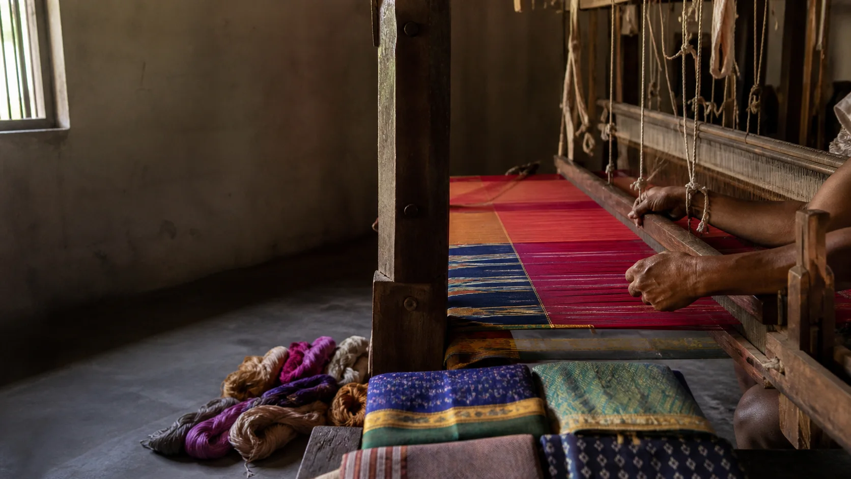
Toda embroidery and other community-linked work should be attributed to makers and purchased through credible channels. Visual motifs must not substitute for learning about contemporary people.
Consent is essential. Do not photograph individuals, homes, funerary or sacred spaces as scenic content without clear permission.
Food and cuisine
Highland food reflects millets, beans, vegetables, dairy, tea, bakery traditions, estate labour histories and Tamil-Kerala-Karnataka connections.
Community-specific food knowledge should not be generalized or commercialized without community-grounded sources.
Tea quality, estate origin and organic claims require traceability; a Nilgiris label alone is not enough.
Making and provenance
Regional products and crafts
Tea, horticultural produce, embroidery and other crafts have different production and ownership systems.
Buy community-attributed work from transparent makers or cooperatives and avoid objects claimed to be sacred, antique or removed from heritage settings.
GI and certification claims must be checked in official registers rather than inferred from packaging.[gi8c]
Landscape first
Nature and wildlife
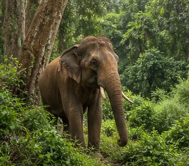
Mudumalai Tiger Reserve, Mukurthi National Park and other reserved forests form protected parts of a larger Nilgiri conservation landscape.[mudumalai8c][tnForest8c]
No safari, trek, road opening, animal sighting or visitor quota is promised. Use current forest and district systems.
Waste, traffic, construction and off-road activity place pressure on steep watersheds. Carry waste out and accept restrictions.
Work and change
Economy and livelihoods
Tea and horticulture, forestry governance, tourism, services, rail, government institutions and varied wage labour shape the highlands.
Tourism is not separate from housing, water, waste, traffic and land-use questions.
No current visitor, crop, tea-output or wildlife number is published.
Build a coherent route
Places to explore in The Nilgiris
Udhagamandalam
Use the complete Ooty guide, then expand to district context.
Coonoor
Plan a separate town day with confirmed transport.
Kotagiri
Explore town and landscape without seeking private settlements.
Gudalur and Pandalur
Treat as a distinct high-rainfall and forest-edge circuit.
Mudumalai context
Follow current forest authorization only.
Kundah and upper plateau
Use permitted routes and condition checks.
Choose your pace
Things to do
Understand Ooty beyond town
Move from the destination guide into plateau, community and ecological context.
Ride or study the railway responsibly
Confirm service and understand the UNESCO property precisely.
Learn through institutions
Prefer museums and community-attributed programmes to intrusive visits.
Reduce highland pressure
Stay longer, drive less and carry all waste.
Conditions, not promises
Best season and current checks
Both monsoon systems and elevation influence the district; sun, fog, rain and cold can occur within one trip.
Rain can affect roads, rail, visibility and forest access. Holiday traffic and vehicle controls require current notices.
This evergreen guide does not publish a forecast, road status, forest opening, train operation, festival date, crowd prediction or other live condition. Check responsible authorities close to travel.[imd8c]
Plan by days
Suggested duration
One day
Focus on Udhagamandalam or one other town, not the whole district.
Two days
Pair Ooty with Coonoor or Kotagiri while keeping one base.
Three or more days
Add Gudalur-side or an authorized nature-learning day without racing across the plateau.
Regional access
How to reach
By rail
The Nilgiri Mountain Railway and plains connections require confirmed current operation and reservations.
By road
Hill roads approach from Coimbatore, Kerala and Karnataka; weather and traffic can change them.
By air
Confirm the practical plains airport and a current hill transfer.
Local movement
Getting around
Local buses, taxis and authorized vehicles serve towns. Slopes, rain and traffic affect walking and journey time.
Map links support orientation only. Confirm actual routes, last-mile transport, accessibility, parking and return options locally.
Place-name links
Map of The Nilgiris district
No fabricated coordinates or heavy map embed are used.Map data is not embedded on this lightweight page. Open a place-name search in Google Maps for current roads, business details and directions.
Continue geographically
Nearby districts
Continue by subject
Related My Tamil Nadu guides
Practical planning
Save a district checklist
Saved only in this browser. No login or personal data is needed.
Questions
Frequently asked questions about The Nilgiris
Is The Nilgiris district the same as The Nilgiris city?
No. The Nilgiris is the district; Udhagamandalam (Ooty) is its headquarters town, while Coonoor, Kotagiri, Gudalur and Pandalur are distinct centres.
How many days are useful for The Nilgiris?
Two days gives a focused introduction. Three or more days is better when hill, forest, industrial or distant town clusters are included.
Are opening hours, fares and current schedules listed?
No. Operational information changes and must be checked with the responsible district, temple, museum, forest or transport authority.
Can the whole district be covered in one day?
A district is an administrative area, not one attraction. Use a single day for one compact cluster.
What should be checked before travel?
Check hill weather and roads, rail operation, protected-area permission, local vehicle controls, landslide risk and current district notices.
Are the images documentary photographs?
No. They are project-created editorial visuals and are labelled as non-documentary.
How does the map work?
It opens place-name searches in Google Maps without publishing guessed coordinates or loading a heavy embedded map.
Editorial trust
Sources and further reading
Major factual claims were checked against authoritative references. Last reviewed 9 August 2026.- About The Nilgiris districtThe Nilgiris District Administration · Official district profileReviewed 9 August 2026
- Places of interestThe Nilgiris District Administration · Official district visitor recordReviewed 9 August 2026
- Revenue administrationThe Nilgiris District Administration · Official administrative recordReviewed 9 August 2026
- Mudumalai Tiger Reserve and protected-area contextTamil Nadu Forest Department · State conservation authorityReviewed 9 August 2026
- Mountain Railways of IndiaUNESCO World Heritage Centre · Official World Heritage recordReviewed 9 August 2026
- Scheduled Tribes list for Tamil NaduMinistry of Tribal Affairs · Government referenceReviewed 9 August 2026
- Forests, protected areas and visitor contextTamil Nadu Forest Department · State governmentReviewed 9 August 2026
- National Train Enquiry SystemIndian Railways · Official transportReviewed 9 August 2026
- Regional Meteorological Centre ChennaiIndia Meteorological Department · Official weather authorityReviewed 9 August 2026