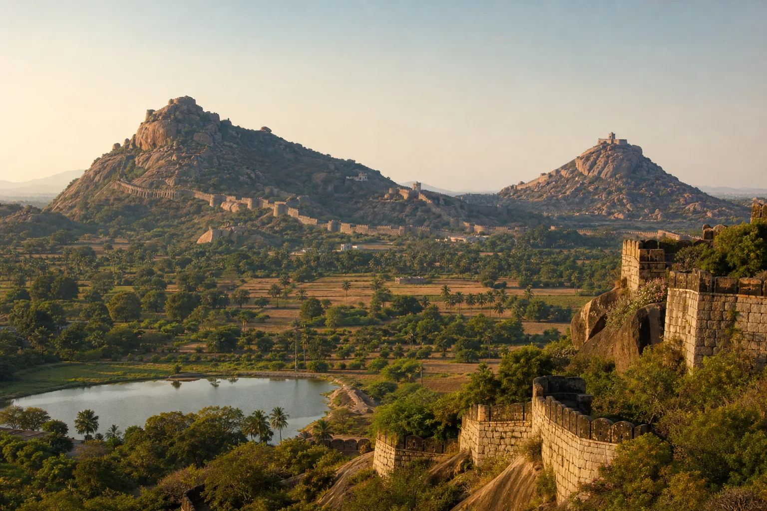
Fortified hills, northern plains, living sacred places and Marakkanam coast
Viluppuram District: Gingee Hills, Historic Routes and Coast
Viluppuram district is a large northeastern corridor of plains, rocky outcrops, tanks, historic routes and a coastal edge around Marakkanam. Gingee Fort and Melmalayanur belong here. Tirukoilur and the Kalvarayan Hills belong to Kallakurichi after the 2019 division. The official spelling used for this route is Viluppuram, with Villupuram retained only as a search alias.On this page
District overview
Understanding Viluppuram district
Current revenue administration places Viluppuram and Tindivanam divisions within the district and lists taluks including Viluppuram, Vikravandi, Vanur, Tindivanam, Gingee, Marakkanam and Melmalayanur.[viluppuramRevenue]
The 2019 formation of Kallakurichi changed current assignment. Older undivided-district references must not be used as present route guidance.[viluppuramAbout][kallakurichiHistory]
Viluppuram district is an administrative area, not a promise that every named place sits close to the headquarters. Routes should be checked by current district, taluk and place name before travel; historical sources may use boundaries that were valid only when they were written.
Why it matters
Why explore Viluppuram?
Gingee is a dramatic fortified hill complex whose multiple enclosures, water systems and political layers reward a landscape-scale reading.[viluppuramPlaces]
Viluppuram and Tindivanam are transport and market centres that explain movement through the northern Tamil plain.
Marakkanam and Vanur-side landscapes add coast, salt and wetland contexts distinct from the inland fort route.[viluppuramTourist]
Land and water
Geography and regional identity
Most of the district is an interior plain with cultivated land, tanks and isolated granitic hills. Gingee's relief strongly influenced fortification and movement.
The eastern side approaches the Bay of Bengal around Marakkanam, with salt, wetland and coastal conditions requiring current access and weather checks.
Pennaiyar-side and smaller drainage systems affect farms and settlement, while rocky and exposed sites can become extremely hot.
Landscape labels summarize a large area and never establish access. In Viluppuram, public roads, protected land, worship, farms, water infrastructure and workplaces each have different rules. Place-name map searches help with orientation, while the responsible authority determines entry.
Evidence and change
Historical overview
Gingee's fortifications reflect several periods and powers, including regional Tamil polities, Vijayanagara and Nayaka contexts, Maratha, Mughal-linked, Arcot, French and British phases. Surviving structures should not be assigned to one ruler without site-level evidence.
Historic routes connected the coast, northern plains, Tiruvannamalai side and inland centres, shaping markets and military strategy.
Sacred places such as Melmalayanur are living institutions whose devotional histories differ from fort archaeology.
Modern district identity is shaped by rail and highway movement, agriculture, education, market towns and administrative division.
A district boundary is modern administration rather than a timeless historical region. Evidence found in today's Viluppuram can illuminate wider networks, but it does not prove that an ancient polity, language community or trade system followed the present border.
Continue with Tamil Nadu history →Within the district
Cities, towns and local centres
These are district contexts, not newly created destination pages.Viluppuram
A major rail, road, administrative and market junction.
Tindivanam
A transport and market base for Gingee, Vanur and Marakkanam routes.
Gingee
A living town beside a large protected hill-fort landscape.
Marakkanam
Salt, coast and wetland contexts shape its eastern setting.
Vikravandi
A practical orientation point on major road corridors.
Vanur
Villages and routes connect toward the Puducherry and Auroville region.
Living and protected places
Temples and spiritual places
Melmalayanur Angalamman context
A major living sacred place; verify current crowd and ritual arrangements.
Singavaram temple context
A living temple near Gingee with rock-cut and later historical layers.
Mailam Murugan Temple context
A hill-associated living pilgrimage place near Tindivanam.
Interpret carefully
Heritage and architecture
Gingee Fort complex
A protected multi-hill landscape requiring heat, terrain and access planning.
Fort water systems
Tanks and storage show adaptation to rocky, defended terrain.
Marakkanam salt landscape
Working production, wetlands and coast require permission and safety.
Transport crossroads
Rail and road junctions are part of modern district history.
Living knowledge
Culture, food and regional products
Culture and festivals
Fort-town life, agricultural markets, coastal work and living pilgrimage create different cultural settings.
Melmalayanur should be approached through current institutional protocol rather than sensational descriptions.
Annual festivals, crowd controls and transport changes are not published as fixed facts.
Food and cuisine
Interior meals draw on rice, millets, pulses, groundnut and vegetables, while coast-side food may include responsibly sourced fish.
Transport towns support changing commercial food scenes that do not establish historical origin.
Salt and agricultural products need seller and production-place provenance.
Making and provenance
Regional products and crafts
Agriculture, market trade and salt-linked work are district associations, with significant local variation.
Craft and ritual objects should be identified by maker, technique and origin rather than the place of sale alone.
Nothing should be removed from protected fort, rocky, wetland or coastal settings.
District-level association does not prove that every item sold under the Viluppuram name was grown, made or processed locally. Useful provenance identifies the producer, material, technique and production place without turning a broad regional reputation into a guarantee.
Landscape first
Nature and wildlife
Rocky hills, scrub, tanks, fields, wetlands and coast support varied habitats; species presence is uncertain.
Gingee climbs involve exposed rock, steep routes and heat. Use open sections only and carry suitable water without littering.
Coastal storms, salt-pan boundaries and wetland restrictions require current official guidance.[forest8d][imd8d]
Work and change
Economy and livelihoods
Agriculture, transport, trade, education, services, salt-linked work and small industry support different parts of the district.
Highway and railway connectivity make Viluppuram a movement corridor, but rural livelihoods remain place-specific.
No live crop, traffic, visitor or salt-output rank is asserted.
Build a coherent route
Places to explore in Viluppuram
Viluppuram town
Understand the district through its major junction.
Gingee
Allow a focused day and follow current monument guidance.
Melmalayanur
Prioritize protocol and crowd awareness.
Tindivanam
Use it to organize northern and eastern routes.
Marakkanam
Respect workplaces and verify coastal conditions.
Vanur side
Use accurate maps and avoid creating an unsupported Auroville destination claim.
Choose your pace
Things to do
Read a fortified landscape
Connect elevation, water storage, gates and route control at Gingee.
Use present boundaries
Keep Tirukoilur and Kalvarayan Hills in Kallakurichi.
Compare inland and coast
Plan them as separate clusters with different conditions.
Explore a transport geography
Notice how Viluppuram and Tindivanam organize regional movement.
Conditions, not promises
Best season and current checks
Exposed forts and plains can be intensely hot; rain can make rock surfaces and rural roads unsafe.[imd8d]
Coastal, shrine and monument conditions must be checked near the visit.
This evergreen guide does not publish forecasts, road or sea status, attraction hours, event dates, transport operation or other live conditions.[imd8d]
Plan by days
Suggested duration
One day
Choose Viluppuram orientation or Gingee as one focused cluster.
Two days
Use one Gingee-Melmalayanur day and one Viluppuram-Tindivanam or Marakkanam day.
Three or more days
Add the coastal side only when current weather and transport make the route realistic.
Regional access
How to reach
By rail
Viluppuram, Tindivanam and other stations serve different corridors; verify trains.
By road
Roads connect Chennai, Puducherry, Tiruvannamalai, Kallakurichi and Cuddalore regions.
By air
Confirm the practical airport and onward road or rail transfer.
Local movement
Getting around
Rail and bus links are useful between major centres; fort, shrine, coast and rural sites need separate last-mile plans.
The central planning check is simple: Check fort access and heat, shrine arrangements, coastal weather, wetland restrictions and transport.
Map links are for orientation. Confirm accessibility, parking, last-mile transport and return options locally. Leave enough daylight for rural, hill, wetland or coastal return travel and keep an alternative when one place is unavailable.
Place-name links
Map of Viluppuram district
No fabricated coordinates or heavy map embed are used.Map data is not embedded on this lightweight page. Open a place-name search in Google Maps for current roads, business details and directions.
Continue geographically
Nearby districts
Continue by subject
Related My Tamil Nadu guides
Practical planning
Save a district checklist
Saved only in this browser. No login or personal data is needed.
Questions
Frequently asked questions about Viluppuram
Is Viluppuram district the same as Viluppuram town?
No. Viluppuram town is the headquarters. The official English district spelling is Viluppuram; Villupuram is a common search variant pointing to the same guide.
Are Tirukoilur and the Kalvarayan Hills in Viluppuram district now?
No. Both are in current Kallakurichi district. Gingee, Melmalayanur, Tindivanam, Marakkanam and Vanur are in current Viluppuram district.
What is Viluppuram best understood through?
The district is best understood through its transport crossroads, Gingee's fortified hill landscape, sacred and rural centres, northern plains and Marakkanam-side coast.
How many days are useful for Viluppuram?
Two days gives a focused introduction; use three or more when coast, hills, distant towns or heritage clusters are combined.
Are current timings, fares and schedules listed?
No. Operational details change and must be confirmed with the responsible authority.
Are the images documentary photographs?
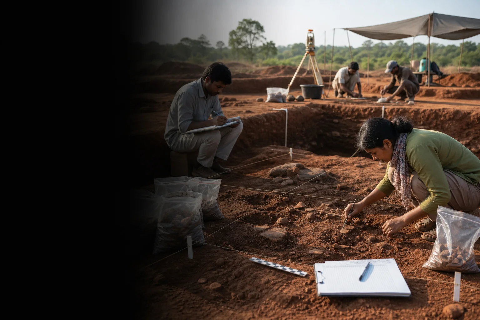
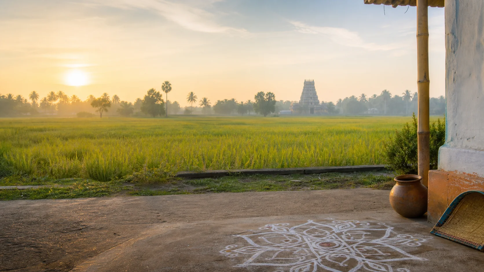
No. They are project-created editorial visuals and are explicitly labelled non-documentary.
How do the map links work?
They open place-name searches in Google Maps without guessed coordinates or a heavy embedded map.
Editorial trust
Sources and further reading
Major factual claims were checked against authoritative references. Last reviewed 9 August 2026.- About Viluppuram districtViluppuram District Administration · Official district profile and spellingReviewed 9 August 2026
- Revenue administrationViluppuram District Administration · Official current boundary recordReviewed 9 August 2026
- Places of interestViluppuram District Administration · Official district visitor recordReviewed 9 August 2026
- Tourist placesViluppuram District Administration · Official district visitor recordReviewed 9 August 2026
- History and formationKallakurichi District Administration · Official district historyReviewed 9 August 2026
- Archaeological sites, excavations and museumsTamil Nadu State Department of Archaeology · State archaeology authorityReviewed 9 August 2026
- Forests, wetlands and protected-area guidanceTamil Nadu Forest Department · State conservation authorityReviewed 9 August 2026
- Regional Meteorological Centre ChennaiIndia Meteorological Department · Official weather authorityReviewed 9 August 2026
- National Train Enquiry SystemIndian Railways · Official transportReviewed 9 August 2026