Hills, reserve and towns are distinct
Anamalai: Hills, Wildlife and Forest Landscapes
Explore the Anamalai region through steep forest gradients, connected protected landscapes, working uplands and careful geographic terminology.
Ecological context
Why This Landscape Matters
Anamalai Hills describes a mountain system in the southern Western Ghats. Anamalai Tiger Reserve is a notified protected landscape with a core and buffer. Valparai is an upland town and cultivated landscape. Pollachi is a plains-side urban gateway in Coimbatore district. Merging these terms obscures both geography and management.
On this page
Nature guide
Four related names, four meanings
Anamalai Hills describes a mountain system in the southern Western Ghats. Anamalai Tiger Reserve is a notified protected landscape with a core and buffer. Valparai is an upland town and cultivated landscape. Pollachi is a plains-side urban gateway in Coimbatore district. Merging these terms obscures both geography and management.
Tamil Nadu Forest Department identifies reserve ranges in Coimbatore and Tiruppur district contexts.[1] A route may pass between town, estate and forest-edge settings without placing every visible hillside inside the tiger reserve.
Nature guide
A steep southern Western Ghats landscape
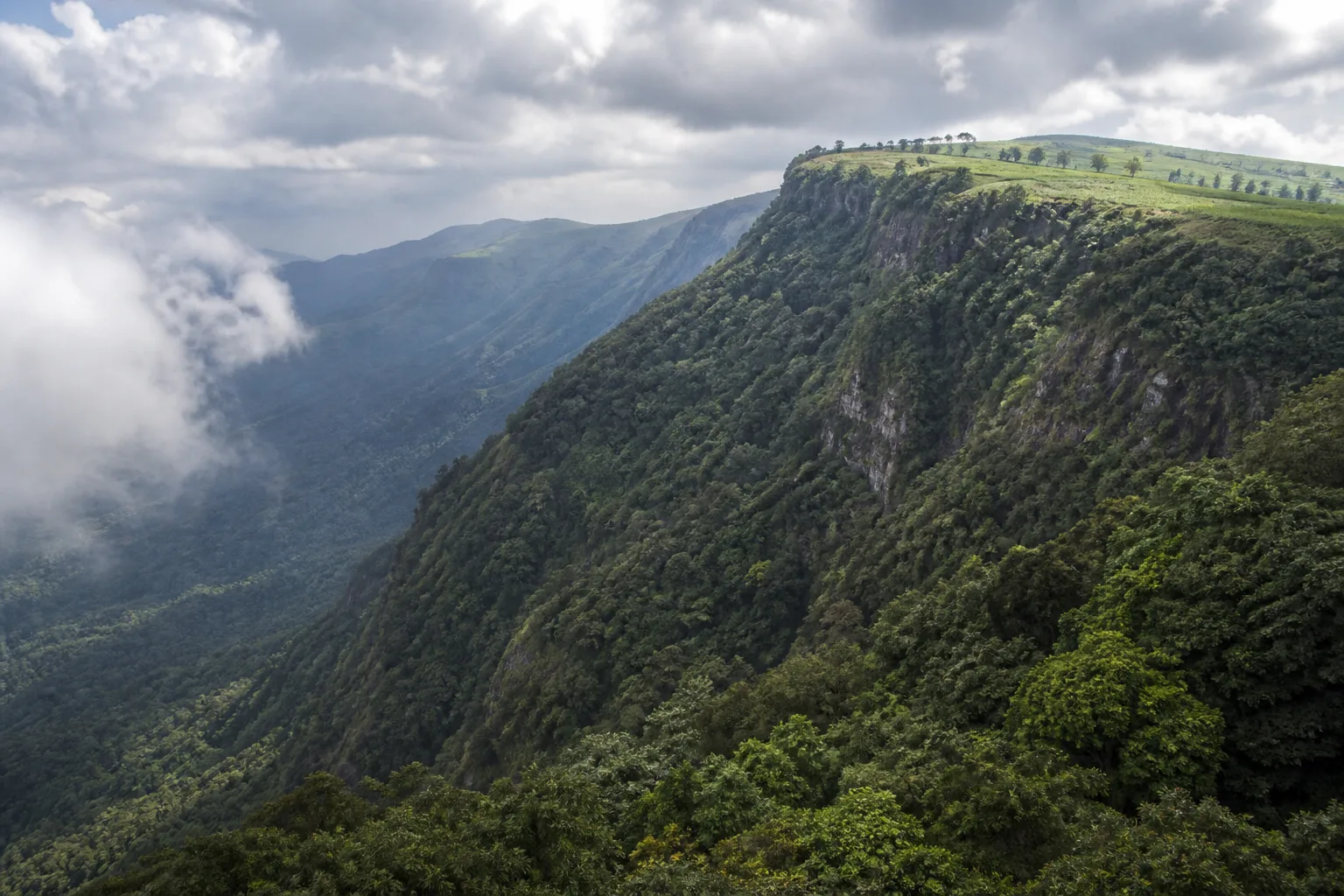
The Anamalai Hills rise sharply from the plains and connect with forest systems across the Kerala border. Elevation and rainfall exposure produce strong transitions among wet evergreen, semi-evergreen, moist deciduous, drier forest and grassland contexts, alongside cultivated land.
These connections support water and wildlife movement across administrative boundaries. They also mean that a destination photograph cannot establish a protected-area boundary; visitors should use official maps and instructions.
Nature guide
Anamalai Tiger Reserve
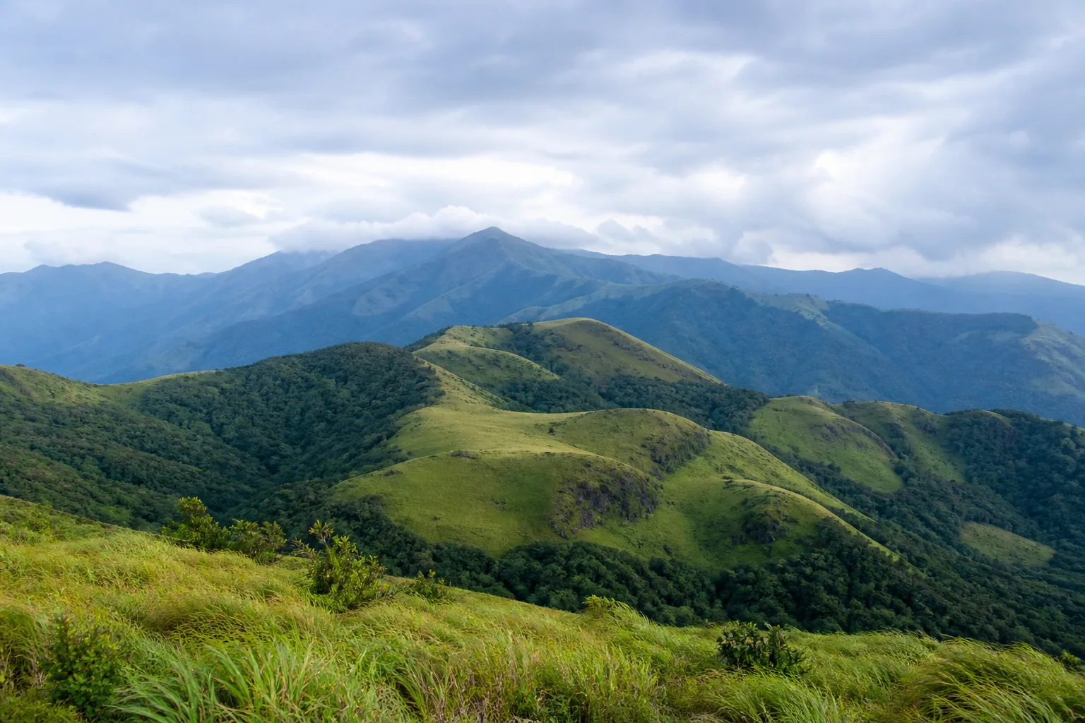
The Forest Department describes Anamalai Tiger Reserve as part of the south-western Ghats landscape, adjoining protected and reserved forests in Kerala and including ranges associated with Pollachi, Valparai, Udumalpet and Amaravathi administrative contexts.[1]
Tiger Reserve is the current management designation used here. Historical sanctuary names and the wider hills have related histories, but this page does not treat them as interchangeable. Access rules vary by zone and can change.
Nature guide
Forests, grasslands and cultivated uplands
Anamalai's ecological character comes from gradients and connections. Forest canopy, high grasslands, rivers and forest edges support different species. Tea and other cultivation around Valparai are part of a working human landscape and should not be mistaken for protected forest.
Wildlife may move across forest, estate edge and roads. Visitors should drive alertly, avoid night disturbance, never feed animals and keep the road open. Estate access requires permission; forest access requires the applicable official authorization.
Nature guide
Representative wildlife
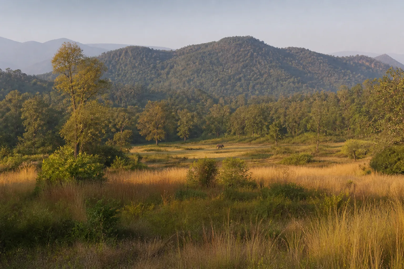
Tamil Nadu Forest Department documents tiger, elephant, gaur, leopard and dhole in the reserve landscape.[1] These species represent habitat and conservation responsibilities, not guaranteed encounters.
Do not stop close to elephants, block their direction or gather a vehicle crowd. Use binoculars and authorized guides. If wildlife appears on a road, follow official instructions and allow it space to move.
Nature guide
People, work and conservation
The region includes towns, estate workers, indigenous and other local communities, forest staff, farms and tourism services. No community should be described as an attraction or reduced to a single narrative.
Ask before photographing people, respect private and working land, and use local services without intruding into settlements. Human-wildlife interaction is a serious lived issue, not a spectacle for visitors.
Nature guide
Plan from the correct gateway
Use Coimbatore district context where geographically accurate and recognize that parts of the reserve extend into Tiruppur district. Pollachi can function as a planning gateway, while Valparai is an upland destination context; neither name substitutes for the reserve.
Check hill weather, road conditions, Forest Department guidance and any permit requirements close to travel. Do not follow unofficial trekking or forest-entry routes. Conditions vary with rainfall and year.
Habitat context
Wildlife You May Encounter
These representative examples are supported by the sources on this page. They are not a sighting promise, and sensitive locations are intentionally omitted.
Asian elephant
Forest and movement corridors across the wider landscape
Keep roads clear and maintain distanceGaur
Forest and grassland contexts
May be encountered; never approachTiger
Large connected protected habitat
Sightings are never guaranteedDhole
Forest landscape
Observe only through permitted visitor systemsSeasonal lens
Nature Through the Year
Conditions vary with rainfall and year. Use the statewide month guides for broad context, then check the responsible authority for current conditions.
Explore Tamil Nadu by Month- Landscape
- Strong seasonal interest
- Conditions
- Weather-dependent
- Planning
- Verify current access
General location only
Open a map handoff
The map opens a broad landscape or visitor destination. It does not reveal nests, dens, breeding areas, restricted islands or sensitive wildlife coordinates.
Private planning tool
Nature Trip Checklist
0 of 11 readySaved only in this browser. No login or personal data is required.
Questions
Frequently asked questions
Is visitor access guaranteed?
No. Protected areas and nature sites can close or change access rules. Check the current Forest Department, district administration or responsible site authority before travelling.
Are wildlife sightings guaranteed?
No. Wildlife is not scheduled and should never be chased. Read these guides as habitat and conservation context, then follow ranger instructions in permitted visitor areas.
Does this page show live weather or road status?
No. This is evergreen ecological and planning information. Use the India Meteorological Department and responsible local authorities for current conditions.
Can I use a drone?
Do not assume that drone use is permitted. Protected areas, coasts and other sensitive sites can have legal and operational restrictions; verify current official rules before carrying or using one.
How should I use Google Maps here?
The map handoff opens a general destination or protected-area search. It deliberately avoids nests, breeding areas, dens, restricted islands and other sensitive wildlife locations.
Are Anamalai Hills and Anamalai Tiger Reserve the same?
No. The hills are a wider geographic system; the tiger reserve has a specific notified protected-area context.
Is Valparai inside the same concept as Pollachi?
No. Valparai is an upland town and landscape, while Pollachi is a plains-side urban gateway. Neither is another name for the tiger reserve.
Media record
Images with explicit provenance
All Phase 10 visuals are project-created editorial interpretations. They support learning and layout but do not document a sighting, current habitat condition or site access.
Editorial trust
Sources & Further Reading
These are the sources actually consulted for this guide. Protected-area, UNESCO, Ramsar, species, habitat and geographic claims are cited inline. Reviewed 9 August 2026.
- Tiger ReservesTamil Nadu Forest Department · 2026Accessed 9 August 2026
- Environment, Climate Change and Forests Policy Note 2025-26Government of Tamil Nadu · 2025Accessed 9 August 2026
- Forests, wildlife and conservation in Tamil NaduTamil Nadu Forest Department · 2026Accessed 9 August 2026
- Western GhatsUNESCO World Heritage Centre · 2012Accessed 9 August 2026
- India State of Forest Report: Tamil NaduForest Survey of India · 2019Accessed 9 August 2026