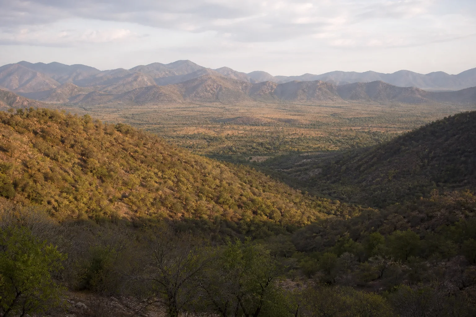
A protected landscape and ecological connection
Sathyamangalam: Forests, Wildlife and a Connected Ghats Landscape
Approach Sathyamangalam through habitat, watershed and corridor context rather than a promised safari sighting.
Ecological context
Why This Landscape Matters
Sathyamangalam is a town and wider regional name in Erode district. Sathyamangalam Tiger Reserve is a specifically notified protected landscape with core and buffer areas. The town, reserve and every forest visible from a road are not the same thing. National Tiger Conservation Authority records the reserve in Tamil Nadu and separately lists its notified area and status.[1]
On this page
Nature guide
Sathyamangalam town, forests and reserve
Sathyamangalam is a town and wider regional name in Erode district. Sathyamangalam Tiger Reserve is a specifically notified protected landscape with core and buffer areas. The town, reserve and every forest visible from a road are not the same thing. National Tiger Conservation Authority records the reserve in Tamil Nadu and separately lists its notified area and status.[1]
Use the current reserve name for the protected landscape, Erode district for administrative travel context and Sathyamangalam for the town or broader local setting when appropriate. This distinction prevents a road journey, forest edge or settlement from being mislabeled as open tiger-reserve access.
Nature guide
Where two Ghats contexts connect
Official tiger-reserve profiles describe Sathyamangalam as an important connection between Western and Eastern Ghats landscapes and neighbouring protected areas. Connectivity matters because animals, water and ecological processes do not stop at a district or reserve line. It does not mean the two mountain systems become one geographic range.[2]
The reserve belongs within a larger Nilgiri and borderland conservation context. Sensitive movement routes are deliberately not mapped here. Visitors should never wait on a road, follow tracks or seek unofficial forest entries in the hope of intercepting wildlife.
Nature guide
A dry-to-moist forest mosaic
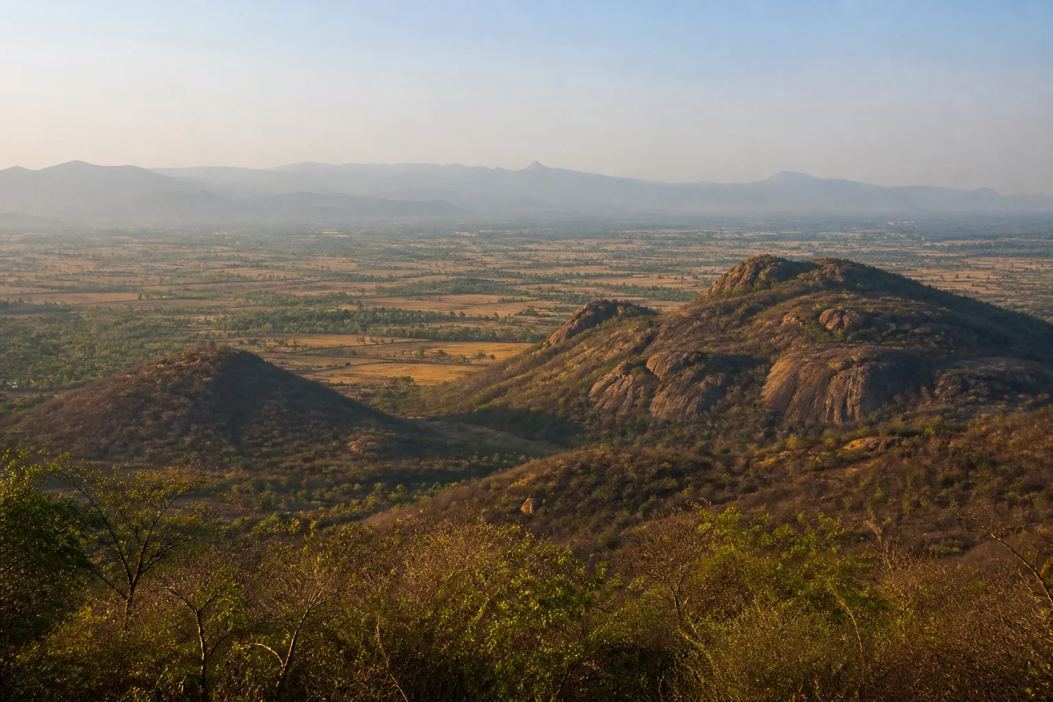
The landscape includes dry deciduous and thorn forest, with other forest types appearing according to elevation, rainfall and terrain. Open dry woodland is not empty land; it supports food webs, seasonal water relationships and movement between larger habitat blocks. Fire, invasive plants, roads and disturbance can change how these systems function.[2][6]
Habitat changes across the reserve and its surroundings, so one photograph cannot represent the whole area. This guide's image is an editorial interpretation, not evidence of canopy condition, animal presence or public access at a named point.
Nature guide
Representative wildlife, never a viewing promise
Authoritative reserve profiles record tiger, Asian elephant, leopard, gaur, deer, sloth bear and other fauna in the wider Sathyamangalam landscape.[2] Their documented presence explains conservation importance; it does not predict what a visitor will see on a particular road or day.
If wildlife appears, stay at a safe distance, keep the road clear, remain in the vehicle where required and follow officials. Never feed, call, bait, crowd or pursue an animal. Do not pressure a driver or guide to produce a sighting or disclose a sensitive location.
Nature guide
Forests, slopes and water
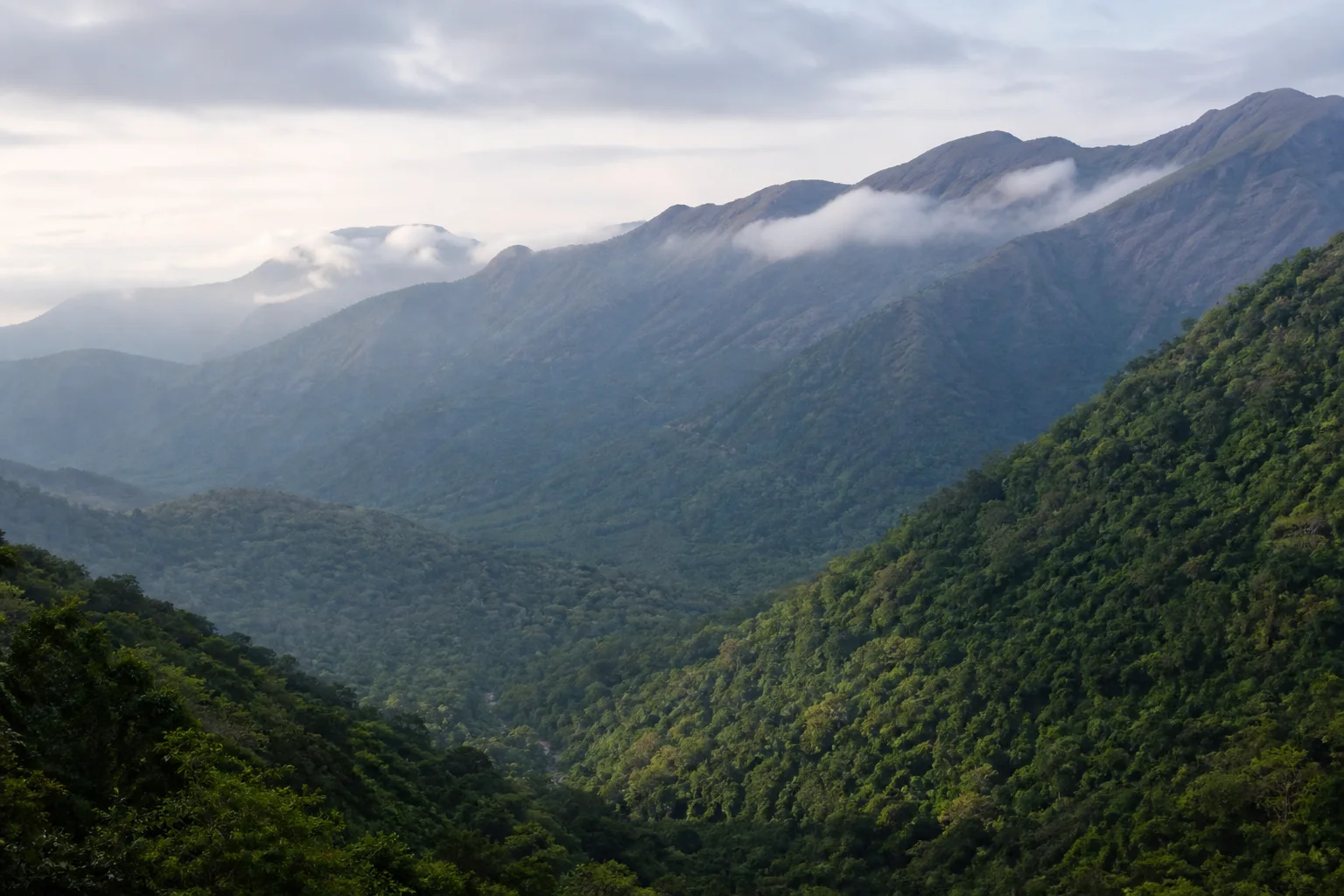
Hill slopes, valleys and forest soils influence streams and the Bhavani-side water context beyond the reserve. Seasonal rainfall can change road visibility, stream flow, vegetation and fire conditions. A dry-looking landscape may still be ecologically active, while a green landscape may carry road or access risk.
The site does not publish live rain, fire, safari, gate or road information. Check IMD, Tamil Nadu Forest Department and district sources close to travel. Follow a closure even when a navigation app continues to show a route.[7][4]
Nature guide
People live around conservation landscapes
The wider region includes forest staff, towns, farms and communities with varied relationships to land and forest. Human-wildlife interaction is a serious lived matter involving safety, crops, mobility and conservation, not a visitor spectacle. This page does not generalize indigenous or local communities into one identity.
Ask before photographing people, homes, work or worship. Use permitted services, do not enter settlements to seek staged cultural encounters and avoid advice that shifts visitor risk or disturbance onto residents.
Nature guide
Use only current authorized visitor systems
Tiger Reserve status does not guarantee a safari, route, viewpoint or opening time. Visitor arrangements, road controls and permits can change for wildlife movement, fire, weather, maintenance or management. Confirm the current system with the Forest Department rather than an old review or commercial listing.[3][5]
A useful visit may be a landscape journey on a permitted public route or an authorized interpretation programme. If no official visitor option is available, do not improvise. Forest conservation is not incomplete because a visitor cannot enter.
Nature guide
Connect Sathyamangalam with Erode district
Use Erode district guidance to understand Sathyamangalam town, Bhavani, Gobichettipalayam and the wider northern district. Do not treat Erode city as the reserve gateway for every route, and do not combine Sathyamangalam with Mudumalai or the Nilgiris without checking actual road conditions and travel time.
Plan daylight travel, carry water, keep fuel and communication needs in mind and avoid unsafe roadside stopping. Verify current weather, road status and forest instructions. Keep a plains-side alternative if access or conditions change.
Habitat context
Wildlife You May Encounter
These representative examples are supported by the sources on this page. They are not a sighting promise, and sensitive locations are intentionally omitted.
Asian elephant
Forest and movement landscape
May be encountered; keep distance and roads clearTiger
Large connected protected habitat
Presence does not imply a likely sightingGaur
Forest and open habitat mosaic
Never approach for photographsSloth bear
Dry and deciduous forest context
Observe only if encountered naturallySeasonal lens
Nature Through the Year
Conditions vary with rainfall and year. Use the statewide month guides for broad context, then check the responsible authority for current conditions.
Explore Tamil Nadu by Month- Landscape
- Strong seasonal interest
- Conditions
- Weather-dependent
- Planning
- Verify current access
General location only
Open a map handoff
The map opens a broad landscape or visitor destination. It does not reveal nests, dens, breeding areas, restricted islands or sensitive wildlife coordinates.
Private planning tool
Nature Trip Checklist
0 of 10 readySaved only in this browser. No login or personal data is required.
Questions
Frequently asked questions
Does this guide provide live access information?
No. Access, roads, permits, boat services and visitor arrangements can change. Confirm current conditions with the responsible Forest Department, district administration or site authority.
Are wildlife or bird sightings guaranteed?
No. Species are included only as representative habitat context. Never chase an encounter, approach wildlife or enter a restricted area for a photograph.
Can I rely on the map for protected-area boundaries?
No. The map handoff is a broad public place-name search, not a legal boundary, trail, gate or permission map. Use current official instructions.
Does the page publish sensitive wildlife locations?
No. Nests, breeding areas, dens, movement routes and other sensitive coordinates are deliberately omitted.
What should I verify close to travel?
Check weather, road conditions, access, permits, official warnings and any local restrictions. Keep an alternative plan if conditions change.
Is Sathyamangalam Tiger Reserve in Erode district?
Yes. Current Tamil Nadu and NTCA records place the reserve in Erode district.
Does Sathyamangalam guarantee tiger or elephant sightings?
No. It supports important wildlife habitat, but no species encounter is guaranteed or should be pursued.
Media record
Images with explicit provenance
All Phase 10 visuals are project-created editorial interpretations. They support learning and layout but do not document a sighting, current habitat condition or site access.
Editorial trust
Sources & Further Reading
These are the sources actually consulted for this guide. Protected-area, UNESCO, Ramsar, species, habitat and geographic claims are cited inline. Reviewed 22 August 2026.
- Tiger Reserves of IndiaNational Tiger Conservation Authority · 2026Accessed 22 August 2026
- An Illustrative Profile of Tiger Reserves of IndiaWII-EIACP and National Tiger Conservation Authority · 2023Accessed 22 August 2026
- Tiger ReservesTamil Nadu Forest Department · 2026Accessed 22 August 2026
- Forests, wildlife and conservation in Tamil NaduTamil Nadu Forest Department · 2026Accessed 22 August 2026
- Environment, Climate Change and Forests Policy Note 2025-26Government of Tamil Nadu · 2025Accessed 22 August 2026
- India State of Forest Report: Tamil NaduForest Survey of India · 2019Accessed 22 August 2026
- Regional Meteorological Centre ChennaiIndia Meteorological Department · 2026Accessed 22 August 2026
- Nilgiri Biosphere ReserveUNESCO Man and the Biosphere Programme · 2026Accessed 22 August 2026