A discontinuous mountain system, not one destination
Eastern Ghats of Tamil Nadu: Hills, Forests and Living Landscapes
Read the Eastern Ghats through distinct ranges, ecological gradients and lived landscapes without confusing them with the wetter Western Ghats.
Ecological context
Why This Landscape Matters
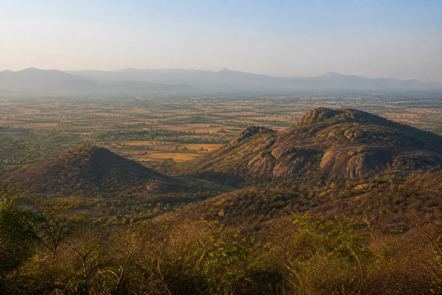
The Eastern Ghats are a broad, discontinuous upland system along peninsular India's eastern side. In Tamil Nadu they appear as separated hill blocks, ridges and plateaus divided by river valleys, plains, towns and cultivated land. That discontinuity is fundamental: this is not one unbroken wall comparable to the western escarpment. Forest Survey of India uses East Ghats as a physiographic context, while state forest records describe the actual vegetation and management units within it.[1]
On this page
Nature guide
What the Eastern Ghats are
The Eastern Ghats are a broad, discontinuous upland system along peninsular India's eastern side. In Tamil Nadu they appear as separated hill blocks, ridges and plateaus divided by river valleys, plains, towns and cultivated land. That discontinuity is fundamental: this is not one unbroken wall comparable to the western escarpment. Forest Survey of India uses East Ghats as a physiographic context, while state forest records describe the actual vegetation and management units within it.[1]
Names such as Javadi Hills, Shevaroy Hills, Kalvarayan Hills and Kolli Hills identify different landscapes, not interchangeable entrances to a single park. Each has its own geology, settlement history, rainfall exposure, roads and administrative context. A useful journey begins by choosing one hill system and its district rather than treating 'Eastern Ghats' as a route that can be covered in one day.
Nature guide
Eastern Ghats and Western Ghats are different systems
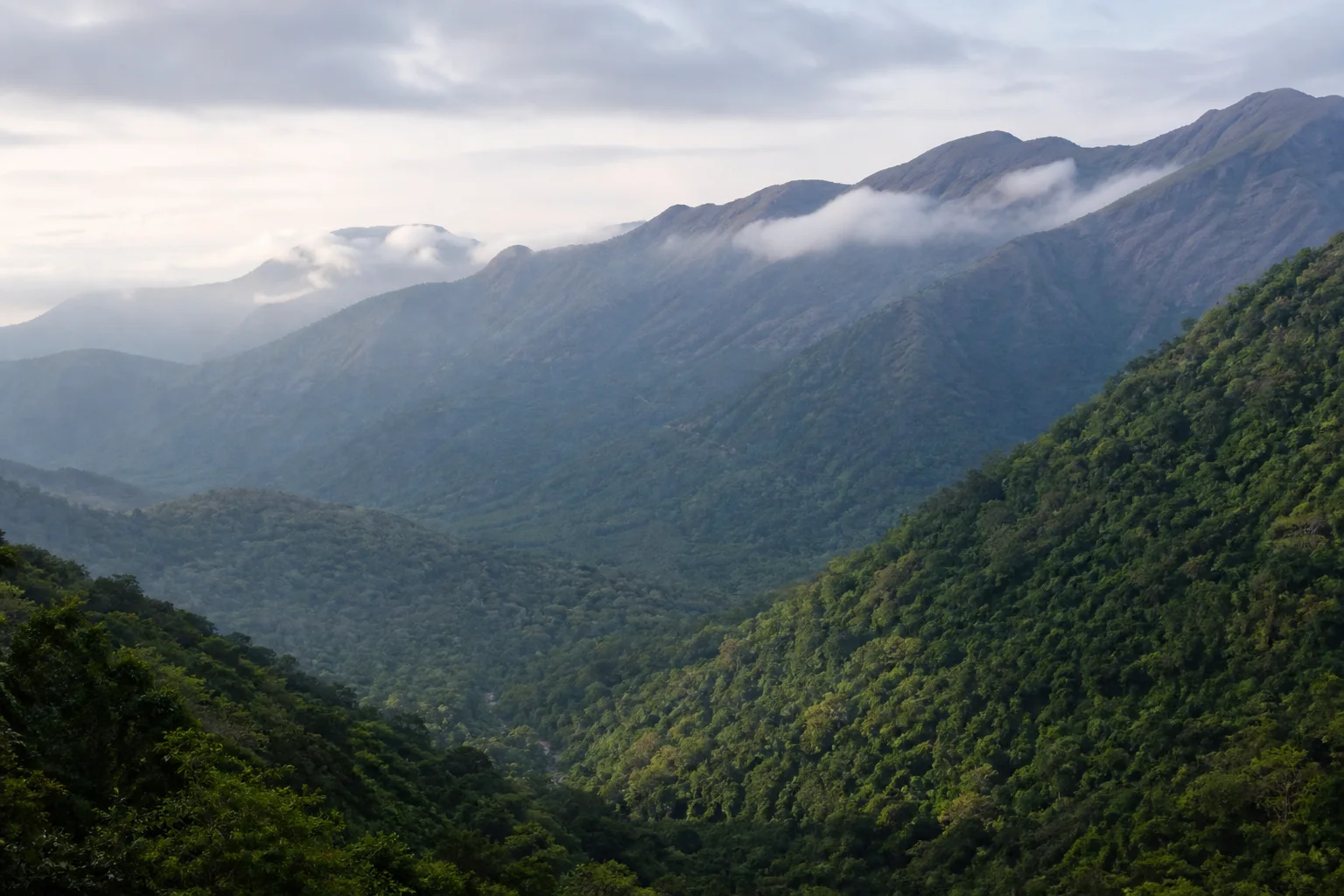
Tamil Nadu's Western Ghats form a higher and more continuous western mountain edge with strong orographic rainfall and internationally listed World Heritage components. The Eastern Ghats are older, lower in many Tamil Nadu sections and broken by major river systems and plains. Both contain ecological complexity, but one should not borrow the other's shola-grassland imagery, monsoon expectations or UNESCO terminology.[8]
Sathyamangalam is an important meeting and connectivity landscape where Eastern and Western Ghats contexts are discussed together. That relationship does not make every Eastern Ghats hill part of the Western Ghats or every connecting forest a tiger reserve. Geographic connection, ecological corridor and legal designation answer different questions.
Nature guide
Distinct Tamil Nadu hill contexts
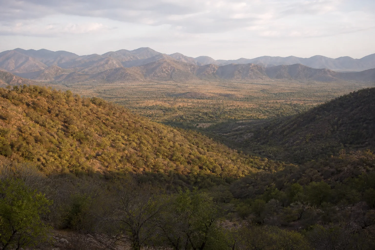
The Javadi Hills lie across northern interior district contexts including Tiruvannamalai and Tirupathur. The Shevaroy Hills rise around Yercaud in Salem district; Yelagiri belongs to a Tirupathur district Eastern Ghats context; the Kalvarayan Hills extend across present district boundaries; and Kolli Hills form a prominent Namakkal-side upland. Official district pages can orient a visitor, but they do not define the full ecological boundary of a hill system.[5][6]
These uplands contain towns, villages, farms, sacred places, roads, forest areas and private land. Public viewpoints and roads do not make every slope a visitor zone. Avoid describing community landscapes as empty wilderness, and ask before photographing people, homes, farms or work.
Nature guide
Dry forests are complete ecosystems
Much of the Eastern Ghats context is seasonally dry. Dry deciduous woodland, thorn and scrub can look open or brown during parts of the year, yet these are functioning habitats shaped by rainfall, soil, fire, grazing and long human use. Greenness is not a reliable ranking of ecological value. Localized slopes, stream corridors and higher or more exposed areas can support different vegetation within a short distance.[1][4]
Wildlife moves through habitat mosaics that may cross forest, agriculture and roads. This page does not publish movement routes or sensitive locations. If an animal is encountered, keep distance, avoid stopping in a way that blocks movement and follow Forest Department or local instructions.
Nature guide
Hills, catchments and plains
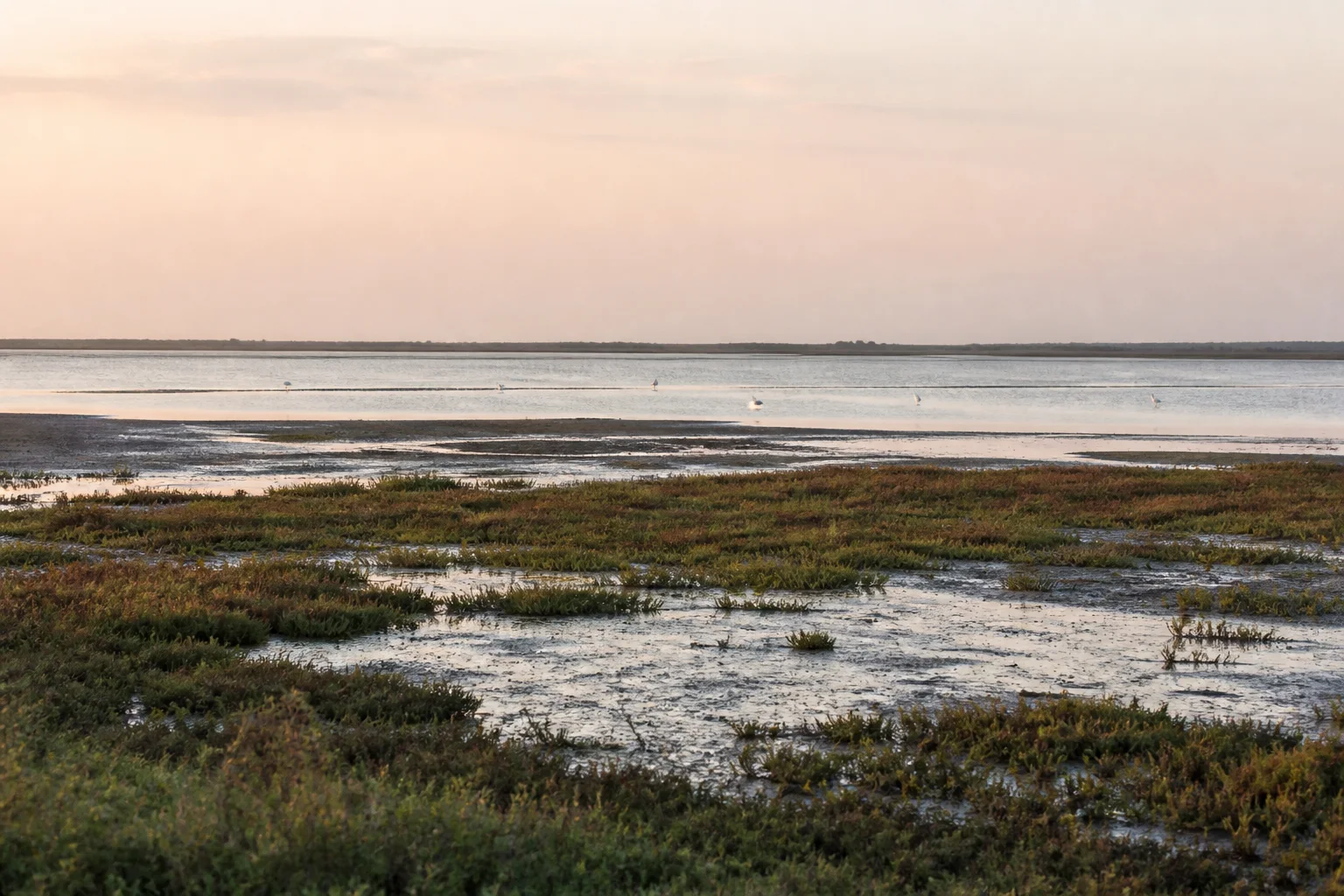
Eastern Ghats hills influence local drainage, springs, tanks, streams and the movement of soil and water toward surrounding plains. Their catchments matter to settlements and agriculture beyond the visible ridge. Quarrying, road construction, fire, invasive plants, waste and poorly planned development can therefore affect both upland habitat and downstream water systems.
A visitor can read these relationships without entering restricted land: notice slope vegetation, tank networks, valley agriculture and how settlements sit around the hills. Do not enter a dry streambed, cave, plantation, reserve forest or unsigned trail because a map appears to show a shortcut.
Nature guide
Living and working landscapes
The Eastern Ghats are inhabited landscapes with diverse communities, languages, worship traditions, farming systems and forest relationships. Indigenous-community discussion needs local evidence and respectful editorial review; this guide avoids presenting any community as a tourist attraction or claiming one uniform way of life across widely separated hills.
Support authorized local services, respect private property and avoid extracting plants, rocks, archaeological material or craft knowledge without permission. Cultural and ecological interpretation is stronger when it recognizes labour, land rights and present-day administration alongside scenic form.
Nature guide
Choose one regional base
For the Shevaroy Hills, begin with Salem district and Yercaud; for Yelagiri or Javadi-side travel, use Tirupathur and Tiruvannamalai district context; for Kolli Hills, use Namakkal. Kalvarayan travel requires checking the current district side and road approach. Distances between these hill systems are substantial, and hill roads should not be combined from a map alone.
Check current weather, road conditions, forest access and local notices close to travel. Heat, rain, fog, landslips, fire risk and road work are time-sensitive. No month label guarantees clear views, waterfalls, trail access or comfortable temperatures.[7]
Nature guide
Travel without turning every hill into an attraction
Use marked public roads and permitted visitor places. Do not light fires, camp, trek, drone, collect plants or enter forest on the assumption that an absence of a gate means permission. Keep noise low and carry waste out. Avoid cliff edges and unsafe roadside stopping even where older travel posts show people doing so.
A responsible Eastern Ghats journey can focus on landscape form, district history, water systems, towns and authorized viewpoints. It does not require a wildlife sighting or hidden trail. When access is uncertain, stay with a public settlement or district guide and leave the sensitive location unmapped.
Seasonal lens
Nature Through the Year
Conditions vary with rainfall and year. Use the statewide month guides for broad context, then check the responsible authority for current conditions.
Explore Tamil Nadu by Month- Landscape
- Strong seasonal interest
- Conditions
- Weather-dependent
- Planning
- Verify current access
General location only
Open a map handoff
The map opens a broad landscape or visitor destination. It does not reveal nests, dens, breeding areas, restricted islands or sensitive wildlife coordinates.
Private planning tool
Nature Trip Checklist
0 of 10 readySaved only in this browser. No login or personal data is required.
Questions
Frequently asked questions
Does this guide provide live access information?
No. Access, roads, permits, boat services and visitor arrangements can change. Confirm current conditions with the responsible Forest Department, district administration or site authority.
Are wildlife or bird sightings guaranteed?
No. Species are included only as representative habitat context. Never chase an encounter, approach wildlife or enter a restricted area for a photograph.
Can I rely on the map for protected-area boundaries?
No. The map handoff is a broad public place-name search, not a legal boundary, trail, gate or permission map. Use current official instructions.
Does the page publish sensitive wildlife locations?
No. Nests, breeding areas, dens, movement routes and other sensitive coordinates are deliberately omitted.
What should I verify close to travel?
Check weather, road conditions, access, permits, official warnings and any local restrictions. Keep an alternative plan if conditions change.
Are the Eastern Ghats a national park?
No. Eastern Ghats is a geographic term. Specific forests and protected areas within the wider system have their own legal status and boundaries.
Are Yercaud and Yelagiri in the Western Ghats?
No. Both belong to Eastern Ghats contexts in Tamil Nadu, though they are separate hill destinations in different districts.
Media record
Images with explicit provenance
All Phase 10 visuals are project-created editorial interpretations. They support learning and layout but do not document a sighting, current habitat condition or site access.
Editorial trust
Sources & Further Reading
These are the sources actually consulted for this guide. Protected-area, UNESCO, Ramsar, species, habitat and geographic claims are cited inline. Reviewed 22 August 2026.
- India State of Forest Report: Tamil NaduForest Survey of India · 2019Accessed 22 August 2026
- Forests, wildlife and conservation in Tamil NaduTamil Nadu Forest Department · 2026Accessed 22 August 2026
- Environment, Climate Change and Forests Policy Note 2025-26Government of Tamil Nadu · 2025Accessed 22 August 2026
- Tamil Nadu biodiversity resourcesTamil Nadu Biodiversity Board · 2026Accessed 22 August 2026
- YercaudSalem District Administration · 2026Accessed 22 August 2026
- YelagiriTirupathur District Administration · 2026Accessed 22 August 2026
- Regional Meteorological Centre ChennaiIndia Meteorological Department · 2026Accessed 22 August 2026
- Western GhatsUNESCO World Heritage Centre · 2012Accessed 22 August 2026