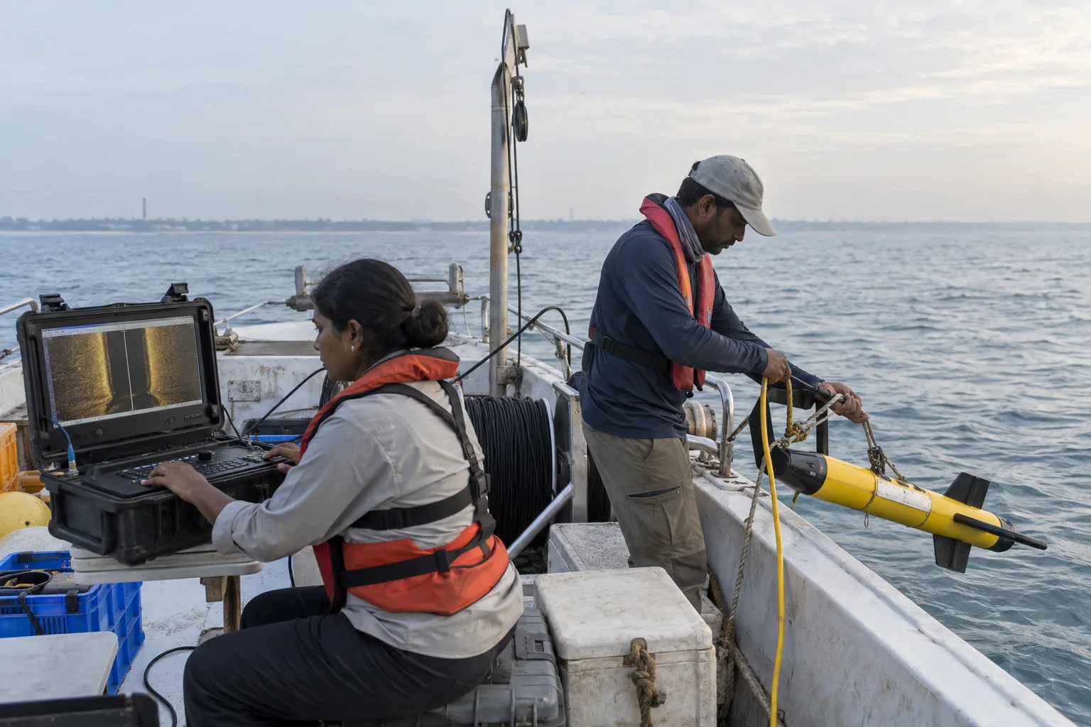
What the July 2026 update actually says
On 30 July 2026, the Ministry of Culture told the Rajya Sabha that research and exploration were underway at Mahabalipuram in Tamil Nadu, as well as at Dwarka, Bet Dwarka and Karaikal, through the Archaeological Survey of India's Underwater Archaeology Wing. The same reply said the Government of India had granted the Tamil Nadu State Department of Archaeology a licence for underwater excavation or exploration at Poompuhar.
The verbs are important. Research and exploration describe an active process, while a licence establishes authorization to undertake specified work. Neither phrase reports a new artefact, structure, shipwreck, date or settlement boundary. The parliamentary answer also identifies Mahabalipuram among sites planned for underwater exploration through 2030, but a programme horizon is not a completion date.
The reply records budget allocations for the ASI wing and says Tamil Nadu earmarked funds for archaeological work on land and underwater. Funding supports capacity; it does not validate an archaeological interpretation on its own. A responsible headline therefore begins with work underway, not lost city discovered.
Sources for this section: 2026 underwater heritage update, Tamil Nadu archaeology programme.
Mamallapuram and Poompuhar are not one project
The 2026 reply assigns different institutional descriptions to the two Tamil Nadu locations. It says ASI research and exploration are underway at Mahabalipuram, while the state archaeology department has been granted a licence for work at Poompuhar. The article does not infer that the teams, methods, schedules or research questions are identical.
Mamallapuram is already a major coastal archaeological and architectural landscape whose shore monuments are part of a UNESCO World Heritage property. That land-based designation should not be stretched automatically over an unidentified offshore anomaly. Any claim that underwater work changes the World Heritage boundary or proves a particular historical narrative would need its own official evidence.
Poompuhar, also called Kaveripoompattinam, belongs to a different river-mouth and maritime context on the Cauvery coast. The Tamil Nadu archaeology department documents earlier onshore excavation, offshore exploration and a dedicated marine archaeological site museum there. New licensed work must be read against that existing record, not merged with Mamallapuram because both places face the Bay of Bengal.
Sources for this section: 2026 underwater heritage update, Mamallapuram World Heritage, Poompuhar archaeology, Poompuhar marine museum.
A sonar image is a lead, not a finished answer
Underwater archaeology often begins without excavation. Researchers may combine historical maps and texts with shoreline study, bathymetry, side-scan sonar, sub-bottom profiling, magnetometry, remotely operated equipment, diving and careful visual recording. Different tools reveal different properties: relief on the seabed, material beneath sediment, magnetic variation or an object that can be inspected directly.
A strong geometric shape on a screen can be natural rock, modern debris, fishing gear, a vessel or an archaeological feature. Position, repeated survey passes, context and ground-truth observation matter. Even when a structure is human-made, its function and date remain separate questions that may require associated material, stratigraphy, laboratory analysis and comparison with documented sites.
This is why an online sonar screenshot should never be treated as self-interpreting proof. Archaeology builds an argument from recorded context and reproducible evidence. The excitement lies in narrowing uncertainty carefully, not in choosing the most dramatic explanation first.
Sources for this section: Underwater archaeology rules, Underwater archaeology training, Poompuhar marine exploration.
Survey, excavation and recovery are different stages
A survey locates, maps and characterizes possible evidence, preferably with minimal disturbance. Excavation removes sediment or material in a controlled research design to answer defined questions. Recovery brings an object from its underwater context, creating immediate obligations for recording, stabilization, conservation, storage and interpretation. Saltwater material can deteriorate rapidly when its environment changes.
UNESCO's 2001 underwater-heritage framework treats preservation in place as the preferred first option and calls for non-destructive methods before recovery. Its annex emphasizes project design, competent supervision, documentation, environmental assessment and long-term conservation. This article uses those principles as an international methodological reference; it does not make a claim here about the Convention's legal application to a particular Indian project.
A licence therefore should not be read as permission to remove whatever a team encounters. The approved research design, applicable Indian law and competent authorities determine what work may happen. Public reports should name the stage accurately and should not publish sensitive coordinates that could invite looting or accidental damage.
Sources for this section: Underwater heritage principles, Underwater archaeology rules, 2026 underwater heritage update.
Poompuhar already has an archaeological record
The Tamil Nadu Department of Archaeology describes Poompuhar at the Cauvery's meeting with the sea and records onshore work at Kizharveli and Dharmakulam. It reports brick structures and wooden posts interpreted as part of a wharf, along with later collaborative offshore exploration. The department's underwater-archaeology page also describes stone masonry, a shipwreck and lead ingots from earlier investigations.
A National Institute of Oceanography research paper provides a fuller scholarly route into the earlier work. It discusses onshore wharf evidence, intertidal ring wells and offshore stone features while connecting field observations with sediment, shoreline and historical questions. Such publications are more useful than a viral diagram because they expose methods, locations, comparisons and uncertainty to scrutiny.
The existing evidence does not make every story about a submerged Poompuhar equally proven. Literature, oral memory, geomorphology, excavated structures and offshore anomalies are different evidence classes. They can inform one another, but one cannot be substituted for another without analysis. The 2026 licence creates an opportunity for more research; it does not pre-approve a conclusion.
Sources for this section: Poompuhar archaeology, Under Water Archaeology, Poompuhar marine exploration.
Read old district labels with their publication dates
Institutional pages and older research papers may place Poompuhar in Nagapattinam or the former Nagai district because they reflect the administrative geography at the time of writing. Today, Poompuhar is in Mayiladuthurai district. The older label does not invalidate an excavation record, but it can confuse a present-day travel plan if copied without context.
The same care applies to place-name variants: Mahabalipuram and Mamallapuram refer to the same well-known coastal town in current official usage, while Kaveripoompattinam, Kaverippumpattinam, Puhar and Poompuhar appear across texts and institutions. Search broadly, then cite the form used by the source instead of treating spelling variation as a separate discovery.
Coastlines themselves change through erosion, deposition, river movement, storms and sea-level processes. Archaeological interpretation must distinguish an ancient shoreline from today's waterline and a submerged cultural feature from naturally shaped geology. A modern map pin cannot reconstruct that history by itself.
Sources for this section: Mayiladuthurai District, Poompuhar archaeology, Poompuhar shoreline research.
Learn from the coast without chasing a dive site
The research update is not an invitation to dive, anchor, fish, collect or operate a drone at a survey location. Underwater work carries risks from currents, visibility, boats, entanglement, weather and equipment, while archaeological locations can be vulnerable to disturbance and looting. Do not follow unofficial coordinates or remove an object that appears old.
Visitors can build context through lawful public places. Mamallapuram's shore monuments can be read as architecture within a changing coastal environment. At Poompuhar, the state archaeology department lists a marine archaeological site museum established to interpret material from earlier exploration. Museum hours, holidays, access and displays are changeable and should be confirmed with the department before travel.
Beachcombing also needs restraint. A potsherd-looking fragment without recorded context may be recent, displaced or archaeologically important. Leave it where it is, photograph only from a safe lawful position without broadcasting a sensitive location, and report a plausible find to the responsible archaeology or district authority.
Sources for this section: Poompuhar marine museum, Threats to underwater heritage, Underwater heritage principles.
A checklist for the next underwater-archaeology headline
First identify the institution and activity: ASI research at Mahabalipuram, state-licensed work at Poompuhar or another project entirely. Second ask whether the release reports a survey, dive, excavation, recovered object, laboratory result or peer-reviewed interpretation. Third look for a project date, method, named research team and publication rather than relying on an undated image.
Then separate observation from interpretation. A mapped anomaly is not automatically a wall; a wall is not automatically a harbour; a harbour is not automatically tied to one dynasty or literary episode. Dating should name the material and method used, and uncertainty should remain visible when samples or context do not support precision.
Finally, check whether visitor information exists at all. Research status does not create public access, and an archaeological claim does not establish safe sea conditions. Until official reports add evidence, the accurate 2026 summary is modest but meaningful: underwater work is active at Mahabalipuram, Tamil Nadu has authorization for Poompuhar, and the results must be allowed to emerge through documented research.
Sources for this section: 2026 underwater heritage update, Underwater archaeology rules, Poompuhar marine exploration.
Sources & Further Reading
These authoritative references support the historical, geographic, or seasonal context in this story. Current conditions and operating details still require a fresh official check.
- Underwater Cultural Heritage · Press Information Bureau, Ministry of Culture
- Tamil Nadu Budget Speech 2025-26 · Finance Department, Government of Tamil Nadu
- Group of Monuments at Mahabalipuram · UNESCO World Heritage Centre
- Poompuhar · Tamil Nadu Department of Archaeology
- Under Water Archaeology · Tamil Nadu Department of Archaeology
- Marine Archaeological Site Museum - Poompuhar · Tamil Nadu Department of Archaeology
- Marine Archaeological Explorations in the Kaveripoompattinam Region: Fresh Light on the Structural Remains · CSIR-National Institute of Oceanography
- Shoreline Changes along the Poompuhar-Tranquebar Region · CSIR-National Institute of Oceanography
- Principles of the 2001 Convention · UNESCO
- Convention on the Protection of the Underwater Cultural Heritage and Annex · UNESCO
- Educating to Implement the 2001 Convention · UNESCO
- Threats to the Underwater Cultural Heritage · UNESCO
- Mayiladuthurai District · Mayiladuthurai District Administration
Related Stories
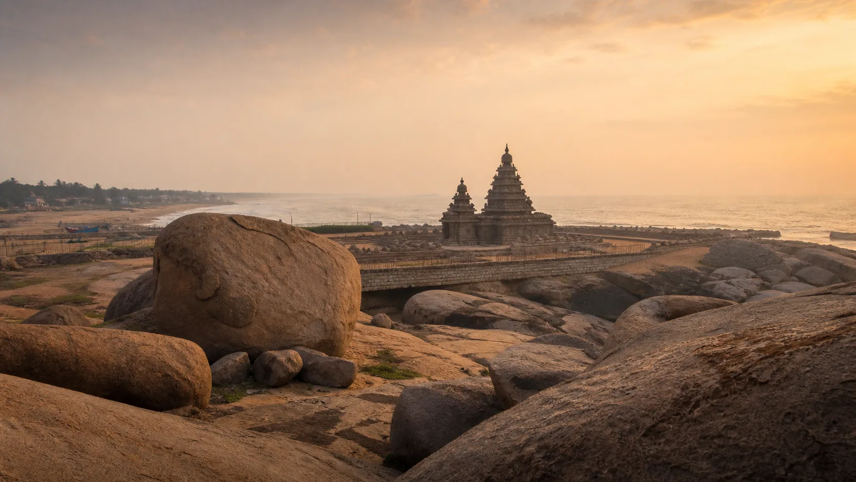
Mamallapuram: Read a Coastal World Heritage Landscape
A connected reading of Mamallapuram that moves from granite outcrops and carved caves to monolithic experiments, open-air reliefs, the Shore Temple and a living coastal town.
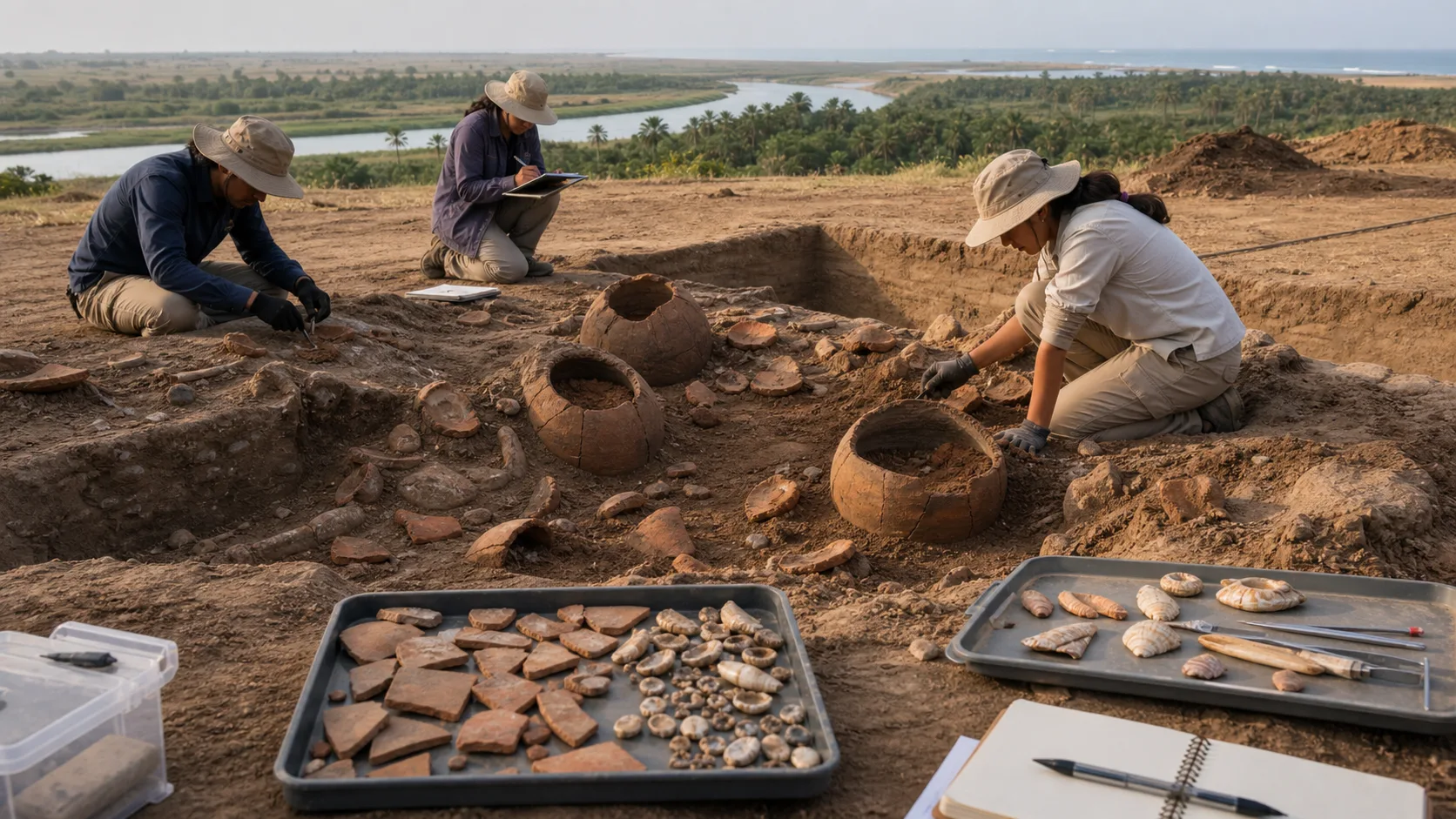
Adichanallur to Korkai: Reading the Tamiraparani Archaeology Landscape
An evidence-first guide to a river-to-coast archaeological landscape where burial, habitation, craft and maritime activity answer different questions.
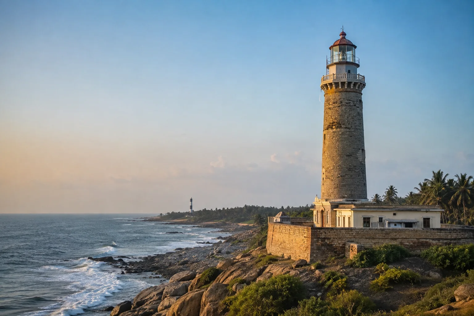
Tamil Nadu's Lighthouse Trail: Read the Coast Through Navigation
A coast-spanning guide to lighthouses as working navigation infrastructure, historical evidence and responsible places of maritime learning.
Frequently asked questions
Was a lost city discovered off Tamil Nadu in 2026?
The cited July 2026 government reply reports research and exploration at Mahabalipuram and a licence for Tamil Nadu archaeology work at Poompuhar. It does not announce a newly discovered lost city.
Are Mamallapuram and Poompuhar part of the same underwater project?
The official reply describes different institutional arrangements. It identifies ASI work at Mahabalipuram and a licence granted to the Tamil Nadu State Department of Archaeology for Poompuhar.
What is the difference between survey and excavation?
Survey locates and records potential evidence, often non-intrusively. Excavation removes sediment or material through an authorized research design, while recovery creates additional conservation obligations.
Can visitors dive at the research locations?
The research notice provides no public-access authorization. Never use unofficial coordinates; follow maritime safety rules and permissions from the competent authorities.
Does Poompuhar have a museum?
The Tamil Nadu Department of Archaeology lists a Marine Archaeological Site Museum at Poompuhar. Verify current hours, holidays, exhibits and access directly before travelling.
How should a new discovery claim be checked?
Look for the responsible institution, field method, recorded context, dating evidence and an official or scholarly report. Treat social-media images and undated sonar graphics only as leads.
Editorial attribution
Prepared and reviewed by My Tamil Nadu Editorial Desk. Modified 8 September 2026.