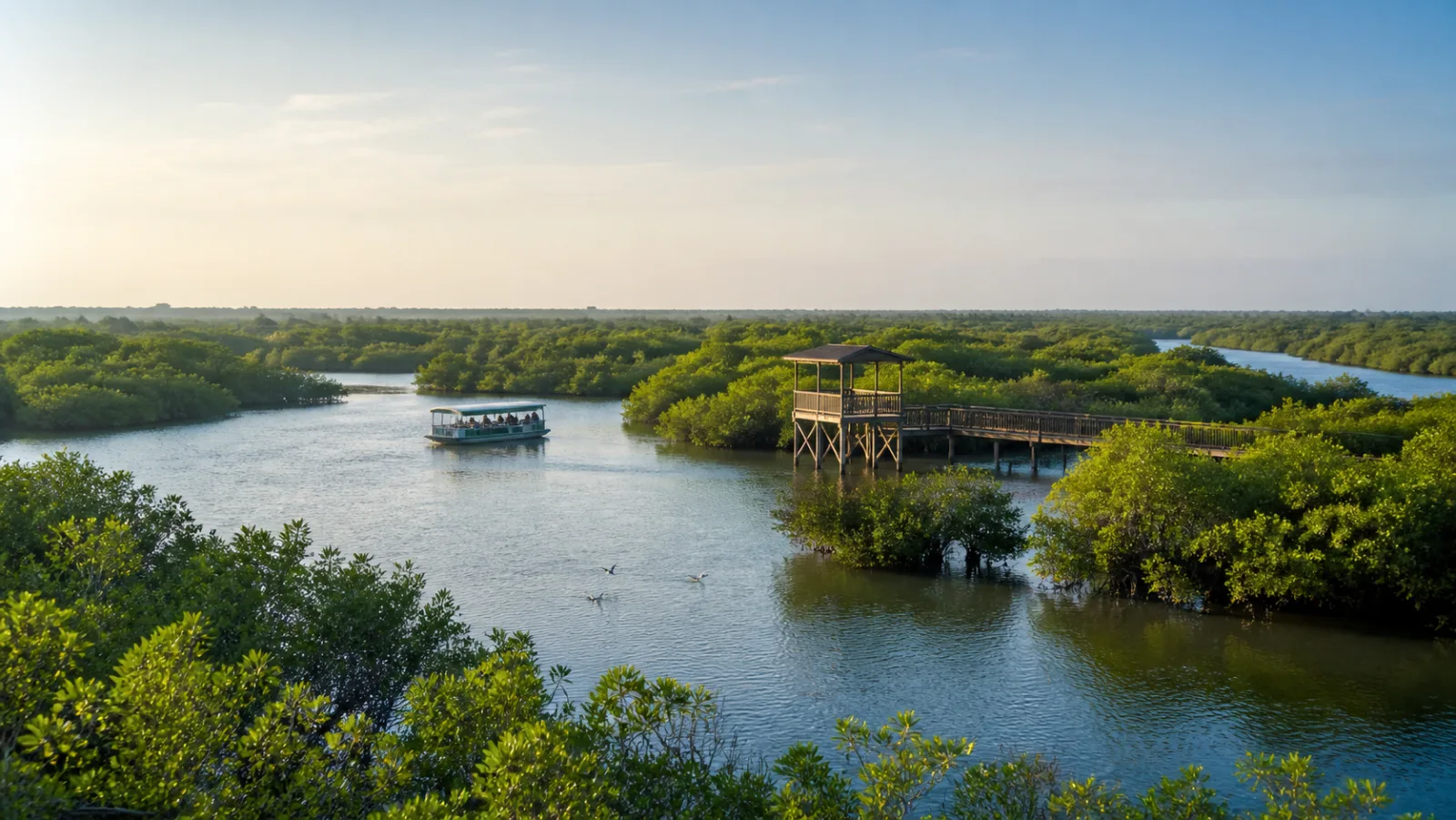
Begin with a wetland system, not green scenery
Muthupet lies in the southern Cauvery-delta coast of Tiruvarur district, where river channels, tidal influence and the lagoon create brackish conditions. District and environmental sources describe mangroves, creeks, mudflats and open water rather than one uniform forest. Each part changes how water, sediment, nutrients and animals move.
Mangroves are salt-tolerant woody plants adapted to tidal or brackish environments; they are not simply trees growing beside a lake. Roots interact with soft sediment and water flow, while the surrounding lagoon and mudflats support ecological processes that cannot be understood from canopy photographs alone.
Do not use one area figure as timeless precision. Official pages and technical documents may describe different boundaries, dates, mapped classes or wider wetland complexes. Treat measurements as source-specific and avoid converting an old survey into a claim about today's exact mangrove cover.
Sources for this section: Muthupettai Mangrove Forest, Tamil Nadu wetlands.
Look for water, roots, salinity and edges
Tamil Nadu environmental material identifies Avicennia marina as the dominant mangrove species at Muthupet and also lists other mangrove and salt-tolerant plants. A dominant species does not make the habitat simple: height, density, channel edge, inundation and adjoining marsh still create variation across the wetland.
Observe from the permitted route. Exposed roots and soft sediment are not stepping stones, and a low branch is not a handhold. Walking off a boardwalk, pushing into vegetation or breaking a twig for a closer look damages the exact structure that gives the visit meaning.
Water colour is not a cleanliness score. Suspended sediment, depth, tide and organic material can change appearance, while pollution may be invisible. Do not taste water, swim, wash, discard food or assume that a clear channel is safe.
Sources for this section: Tamil Nadu wetlands, Point Calimere Ramsar information.
Use Ramsar terminology at the correct scale
Ramsar documentation for the Point Calimere Wildlife and Bird Sanctuary wetland complex discusses characteristic mangrove vegetation at Muthupet. This links Muthupet to a wider internationally recognised wetland landscape; it should not be shortened into an unsupported claim that every visitor facility or water channel has a separate Ramsar designation.
The wider complex includes several habitat types and administrative areas. Protected-area, reserve-forest, tourism and Ramsar boundaries can overlap without being identical. Maps and management documents should decide a legal boundary, not a travel caption or an approximate pin.
Designation does not guarantee easy wildlife viewing or visitor access. Its relevance is ecological character and conservation obligation. Use the term to understand connectivity and responsibility, then follow the rules of the authority managing the exact place entered.
Sources for this section: Point Calimere Ramsar information, Tamil Nadu wetlands.
Observe birds without turning season into a promise
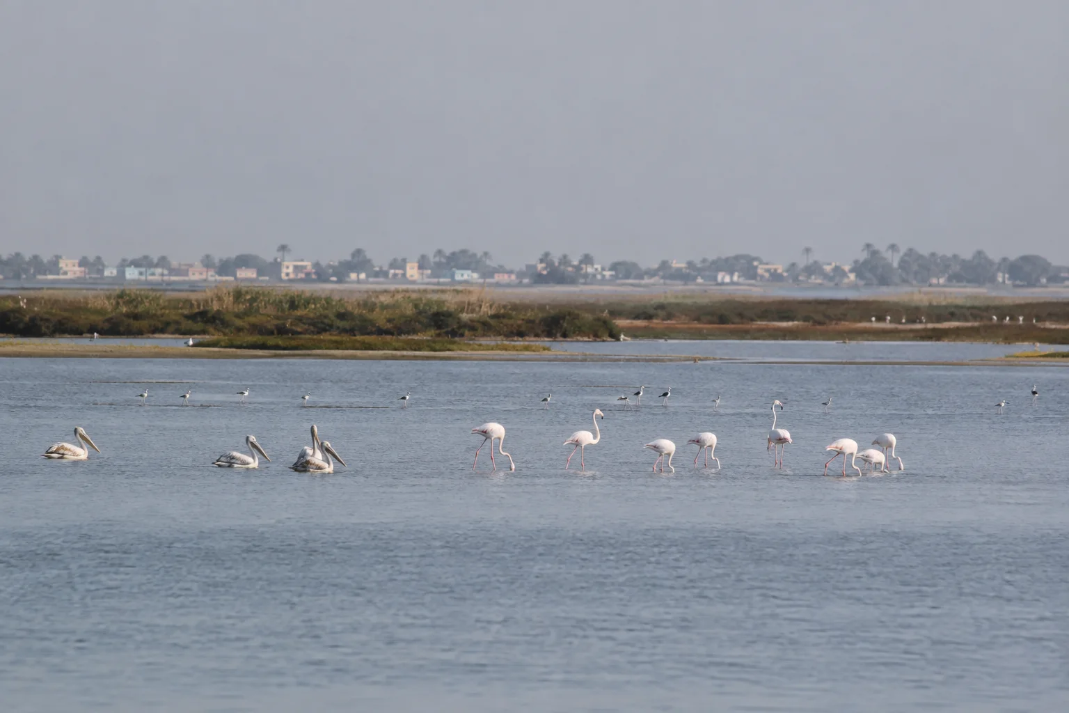
District material describes migratory and resident waterbirds using the area, while Ramsar information explains the importance of the wider wetland. A historical list proves recorded presence in a defined source and period; it does not guarantee that a visitor will see the same species, number or congregation on a particular trip.
Bird distribution responds to water depth, food, disturbance, weather and movement across the larger landscape. Use binoculars from a respectful distance, keep voices low and allow a bird to move away without following. Never use playback, bait or a drone to produce a closer encounter.
Do not publish a nest, roost or sensitive location in real time. Record habitat and behaviour before chasing identification, and mark uncertain observations as uncertain. A quiet visit with few sightings can still reveal channel use, mudflat feeding conditions and the relationship between mangroves and open water.
Sources for this section: Muthupettai Mangrove Forest, Point Calimere Ramsar information.
A trail or boat is an access method, not an entitlement
Tamil Nadu Wilderness Experiences Corporation describes a Muthupet mangrove trail with guided boating, birdwatching and an interpretation point. That official description establishes the intended experience, but daily operation can still depend on maintenance, staffing, water, weather, safety and administrative decisions.
Confirm booking, reporting point, operating status, age or mobility considerations, permitted belongings and cancellation conditions directly. Wear the required safety equipment, remain seated when instructed and never pressure a boat operator to approach wildlife, enter a narrow channel or continue during deteriorating conditions.
A boardwalk can be wet, hot and exposed. Keep children supervised, carry drinking water in reusable containers and take every item back. If the experience is closed, do not hire an unauthorised alternative or enter a forest route independently.
Sources for this section: Muthupet Mangrove Trail, Muthupettai Mangrove Forest.
Let season shape expectations and keep a fallback
Northeast-monsoon rain, freshwater inflow, tide, wind and heat influence the visitor experience, but broad seasonal patterns cannot predict a particular day. The district page associates bird movement with wetter months; use that as context rather than a guaranteed calendar of arrivals.
Check an official forecast, district notices and the experience operator close to departure. A flexible plan can pair an authorised wetland visit with district heritage or town-based interpretation, but should not force a boat trip during unsafe conditions or turn a closure into trespass.
Leave with a system story: delta water meets tidal influence, mangroves occupy particular edges, mudflats and lagoon matter alongside trees, and birds use a connected landscape. That understanding remains useful even when weather, access or wildlife differs from the photograph that inspired the trip.
Sources for this section: Muthupettai Mangrove Forest, Tamil Nadu wetlands.
Sources & Further Reading
These authoritative references support the historical, geographic, or seasonal context in this story. Current conditions and operating details still require a fresh official check.
- Muthupet Mangrove Trail · Tamil Nadu Wilderness Experiences Corporation
- Muthupettai Mangrove Forest · Tiruvarur District Administration
- History · Tiruvarur District Administration
- What Are Wetlands · Tamil Nadu ENVIS Centre
- Information Sheet on Ramsar Wetlands: Point Calimere Wildlife and Bird Sanctuary · Ramsar Sites Information Service
Related Stories
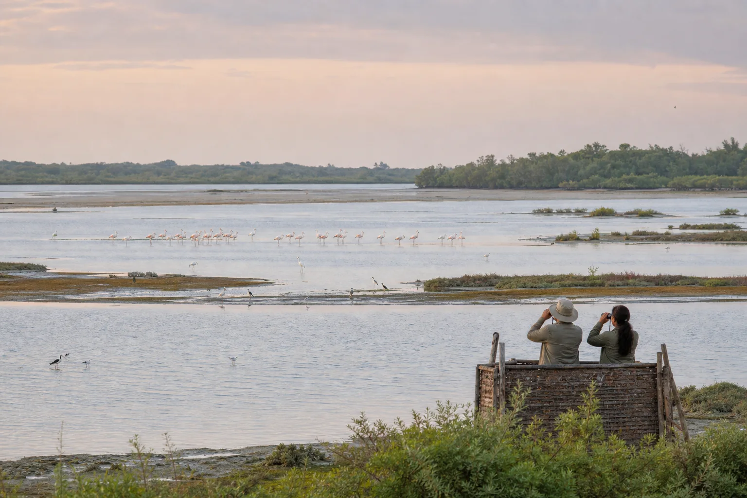
Point Calimere: A Wetland-First Birdwatching Journey
How to read mudflats, saline lagoons, forest, salt pans and coast before looking for a species list at Kodikkarai in Nagapattinam district.
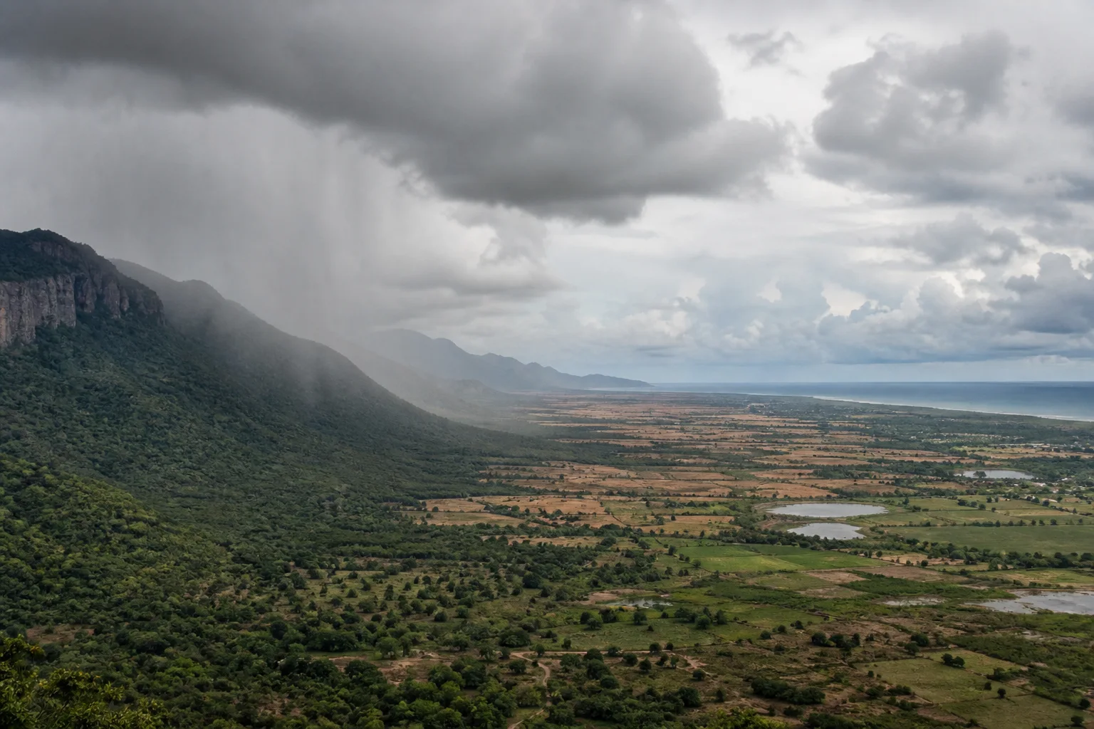
Why Tamil Nadu Has Two Monsoon Seasons: Southwest and Northeast Rain Explained
A geographic explanation of why Tamil Nadu's rain story differs from much of India, and why coast, interior and western hills cannot share one seasonal rule.
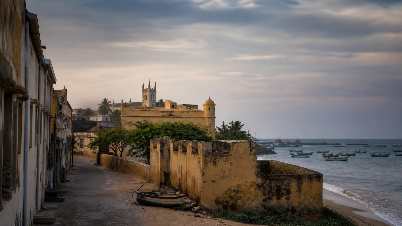
Tharangambadi: Read the Fort, Printing History and Living Coast
A layered coastal-town guide that begins before the Danish fort, follows trade and printing history, and returns heritage to a living Bay of Bengal shoreline.
Pulicat Lagoon: Birdwatching Across Water, Weather and Boundaries
A lagoon-first guide to Pulicat that separates habitat, sanctuary status, seasonal possibility and respectful observation from wildlife promises.
Frequently asked questions
Does this article confirm that Muthupet boating operates today?
No. Confirm current booking, water, weather, maintenance and operating status directly with the responsible operator.
Are bird sightings guaranteed in the usual season?
No. Historical records and seasonal patterns do not guarantee a species or number on a particular visit.
Is every Muthupet visitor facility separately designated as a Ramsar site?
Do not describe it that way. Ramsar documents place Muthupet mangroves within the wider Point Calimere wetland context; exact boundaries require official maps.
Editorial attribution
Prepared and reviewed by My Tamil Nadu Editorial Desk. Modified 1 September 2026.