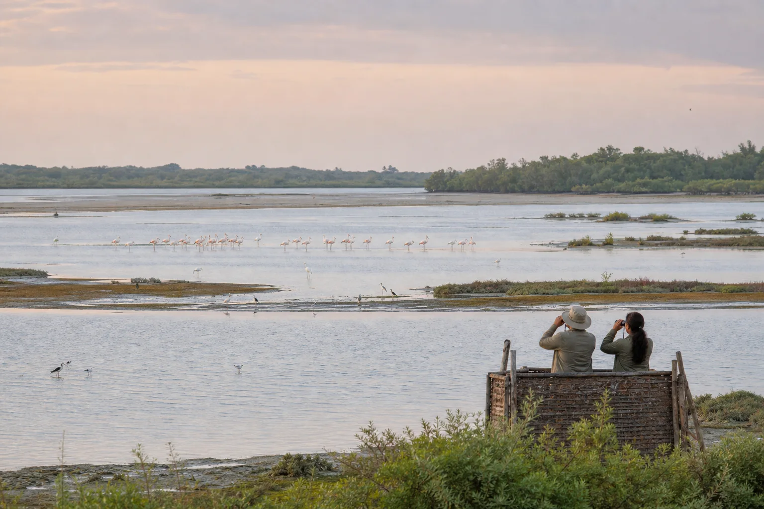
Point Calimere is more than one sanctuary boundary
Point Calimere, or Kodikkarai, lies in Nagapattinam district near the Vedaranyam coast. The Ramsar Sites Information Service lists Point Calimere Wildlife and Bird Sanctuary as Ramsar Site 1210, designated in 2002. Its Ramsar description covers a much wider coastal wetland system than a visitor might imagine from the sanctuary gate alone, including shallow waters, shores, sand bars, intertidal flats, mangroves, seasonal saline lagoons and salt-working areas.
Ramsar Site, wildlife sanctuary and visitor zone are not interchangeable terms. The formal wetland boundary, legally protected areas and places open to the public can differ. Use official maps and Forest Department instructions for boundary questions. A map pin labelled Point Calimere is not permission to enter every shore, forest road or salt pan.
Sources for this section: Ramsar Site 1210, Point Calimere RIS, Nagapattinam forests.
Read water and mud before counting birds
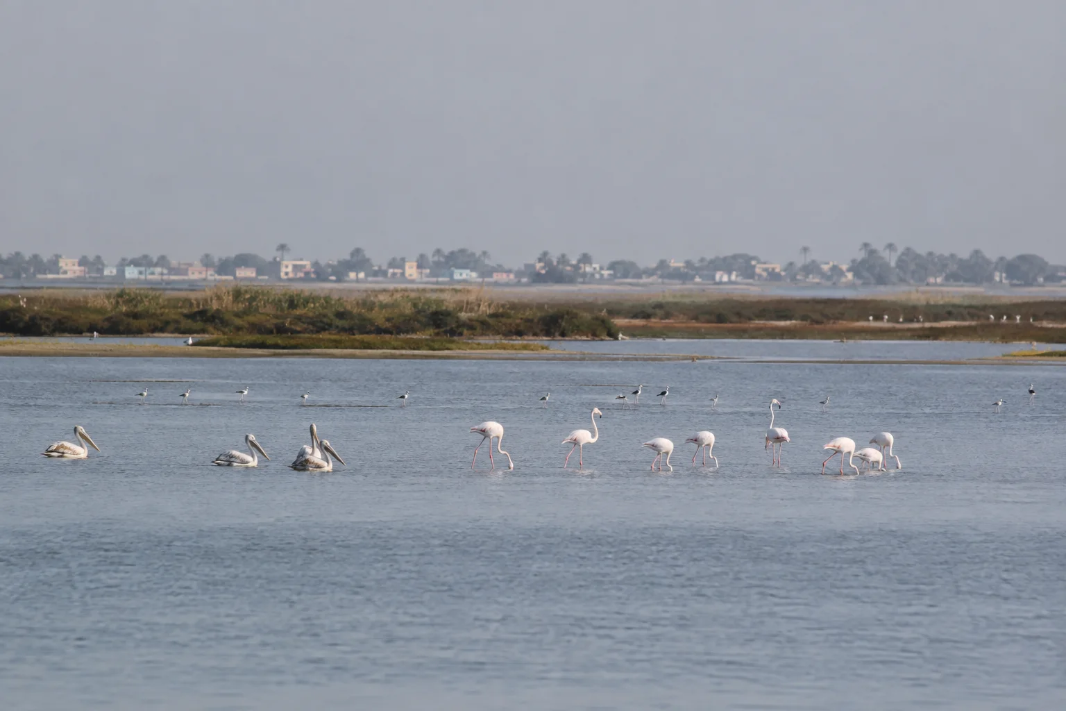
Water depth, salinity, exposed mud and food availability shape which birds can use a wetland at a given time. Waders may feed on exposed flats, larger waterbirds use shallow water, and forest birds occupy a different part of the landscape. A dry-looking area is not necessarily empty or damaged; seasonal wetlands naturally expand and contract, though long-term hydrological change can also create concern.
Begin with habitat notes: open water, mudflat, salt marsh, mangrove edge, beach or dry evergreen forest. Then record broad bird groups and behaviour. This approach remains meaningful if a hoped-for species is absent and reduces pressure to chase a distant flock across restricted ground.
Sources for this section: Point Calimere RIS, Nagapattinam forests.
Migration season is guidance, not a guarantee
Official district material associates the cooler months with migratory waterbirds and identifies Point Calimere as an important birding landscape. That is a broad seasonal pattern, not a promise that flamingos or any named species will be visible on a particular morning. Rainfall, freshwater inflow, tidal state, disturbance and conditions elsewhere along migration routes all affect presence and distribution.
Plan a wider window rather than a single target photograph. Check current information with the Forest Department close to travel and ask what visitor areas are operating. By Month can help frame climate expectations, but only current local guidance can describe water, roads, watchtowers or access on the day.
Sources for this section: Nagapattinam forests, Ramsar Site 1210.
Distance protects feeding and resting birds
Use binoculars or a spotting scope from authorized observation points. Keep groups quiet and avoid surrounding a flock. Do not use playback, bait or drones, and never publish nest or roost coordinates. If birds repeatedly lift their heads, call, move away or take flight because of the observer, the distance is already too small.
Stay off mudflats and salt-working areas unless an authorized route explicitly permits access. These surfaces can be ecologically sensitive, operational or unsafe. Keep food secured, carry waste out and do not approach blackbuck or other wildlife for photographs. A successful visit can record habitat and behaviour without a close image.
Sources for this section: Nagapattinam forests, Wildlife protection law.
Coastal weather is a separate planning layer
Point Calimere sits in an exposed coastal system. Wind, rain, heat, tide and sea conditions can change comfort and safety even when the wetland remains open. Check India Meteorological Department coastal warnings and local notices close to travel. Do not infer safe beach access or boating from an old photograph or general seasonal guide.
Carry drinking water, sun and rain protection, insect protection appropriate to personal needs, and footwear suitable for the authorized visitor surface. Mobile coverage and facilities may vary. Tell someone the plan, return before conditions deteriorate and accept closures without searching for an unofficial route.
Sources for this section: IMD coastal forecast, Nagapattinam forests.
Connect the wetland to its district without rushing it
Nagapattinam district includes pilgrimage centres, agricultural landscapes, fishing communities, ports, mangroves and heritage places. Velankanni and Nagore may appear close on a regional map, but they serve different visitor purposes. Point Calimere needs enough time for slow observation and should not be reduced to a quick wildlife detour between sacred sites.
Use the district guide and Maps for orientation, then let current Forest Department information shape the final approach. Avoid turning local livelihoods into scenery or entering fishing and salt-working spaces without permission. The wetland's value lies in ecological processes and community relationships as much as in a list of birds.
Sources for this section: Nagapattinam tourism, Point Calimere RIS.
Sources & Further Reading
These authoritative references support the historical, geographic, or seasonal context in this story. Current conditions and operating details still require a fresh official check.
- Point Calimere Wildlife and Bird Sanctuary · Ramsar Sites Information Service
- Information Sheet on Ramsar Wetlands: Point Calimere · Ramsar Sites Information Service
- Forest and Wildlife Areas · Nagapattinam District Administration
- Tourism · Nagapattinam District Administration
- Coastal Forecast and Warnings · India Meteorological Department
- The Wild Life (Protection) Act, 1972 · Ministry of Environment, Forest and Climate Change
Related Stories

Velankanni: Reading a Pilgrimage Town Beside the Sea
A first-visit guide to the relationship between the Shrine Basilica, pilgrim movement, town services and an exposed Bay of Bengal coast.
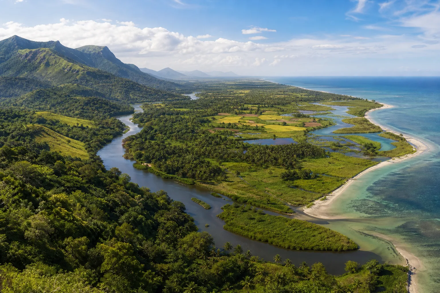
From the Western Ghats to the Coast: Reading Tamil Nadu's Connected Landscapes
Follow water and habitat from the Western Ghats through forests, wetlands and deltas to Tamil Nadu's eastern coast and marine shallows.
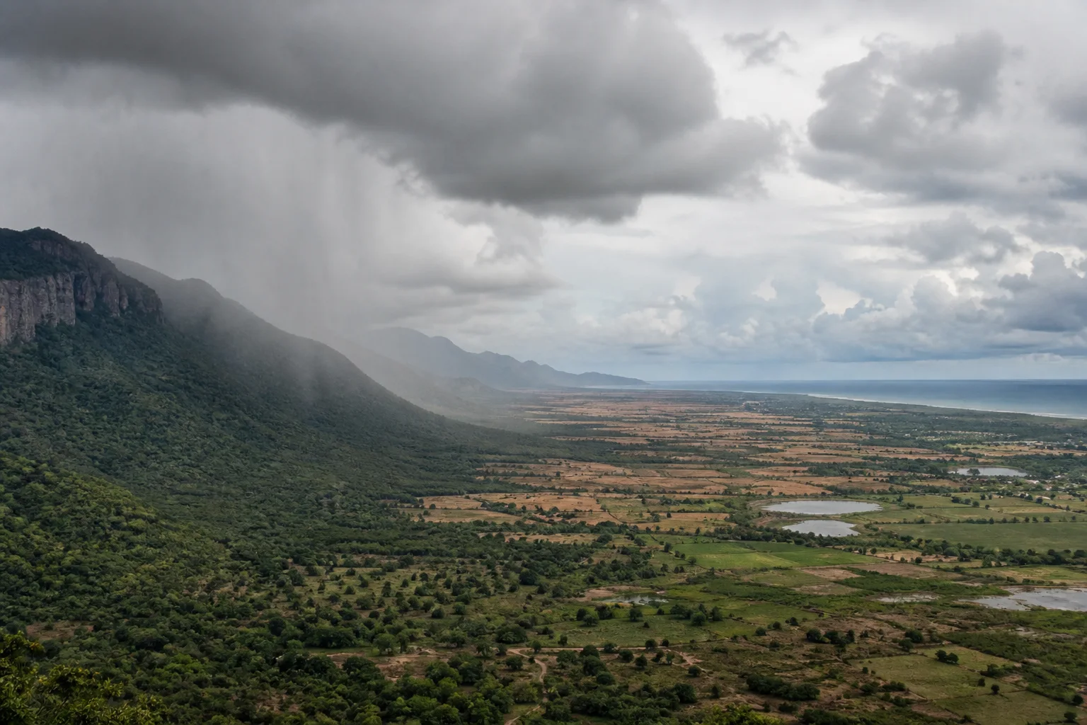
Why Tamil Nadu Has Two Monsoon Seasons: Southwest and Northeast Rain Explained
A geographic explanation of why Tamil Nadu's rain story differs from much of India, and why coast, interior and western hills cannot share one seasonal rule.
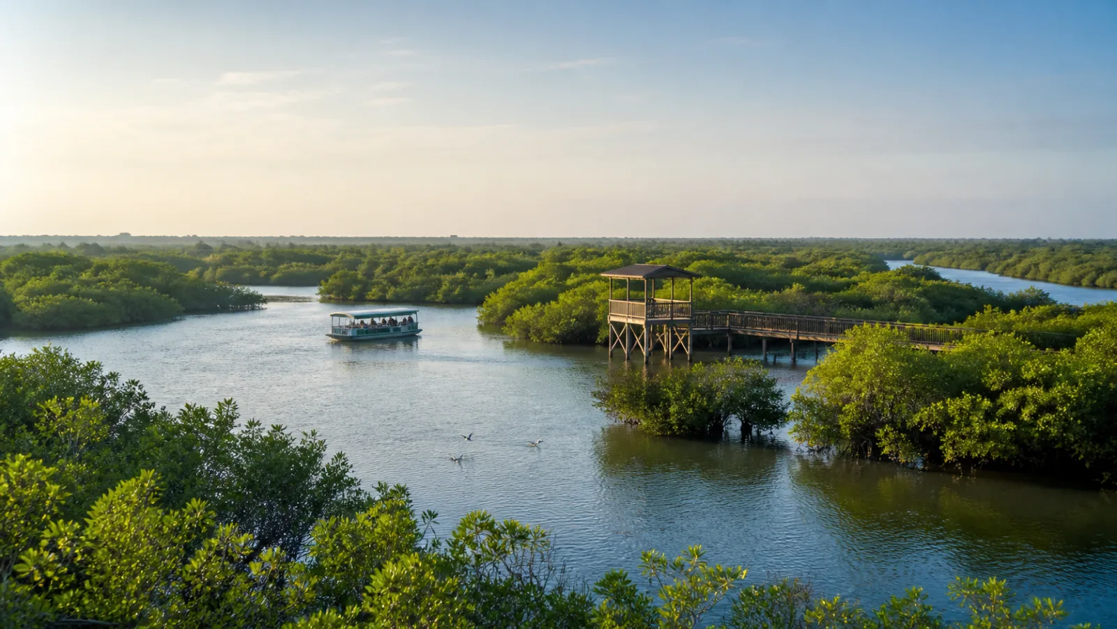
Muthupet Mangroves: Read the Lagoon Before Taking the Trail
A wetland-first guide to Muthupet's mangroves, lagoon, tidal channels, bird observation and the limits of any current boating or access promise.
Pulicat Lagoon: Birdwatching Across Water, Weather and Boundaries
A lagoon-first guide to Pulicat that separates habitat, sanctuary status, seasonal possibility and respectful observation from wildlife promises.
Frequently asked questions
Are flamingos guaranteed at Point Calimere?
No. Species presence changes with water, season, tide, weather and migration conditions; no sighting is guaranteed.
Is the Ramsar Site the same as the visitor sanctuary?
No. Ramsar, wildlife-sanctuary and public visitor boundaries are different concepts; use official maps and current Forest Department guidance.
When is the best time for birdwatching?
Official district material identifies cooler migratory months broadly, but current water, access and bird presence must be checked close to travel.
Editorial attribution
Prepared and reviewed by My Tamil Nadu Editorial Desk. Modified 27 August 2026.