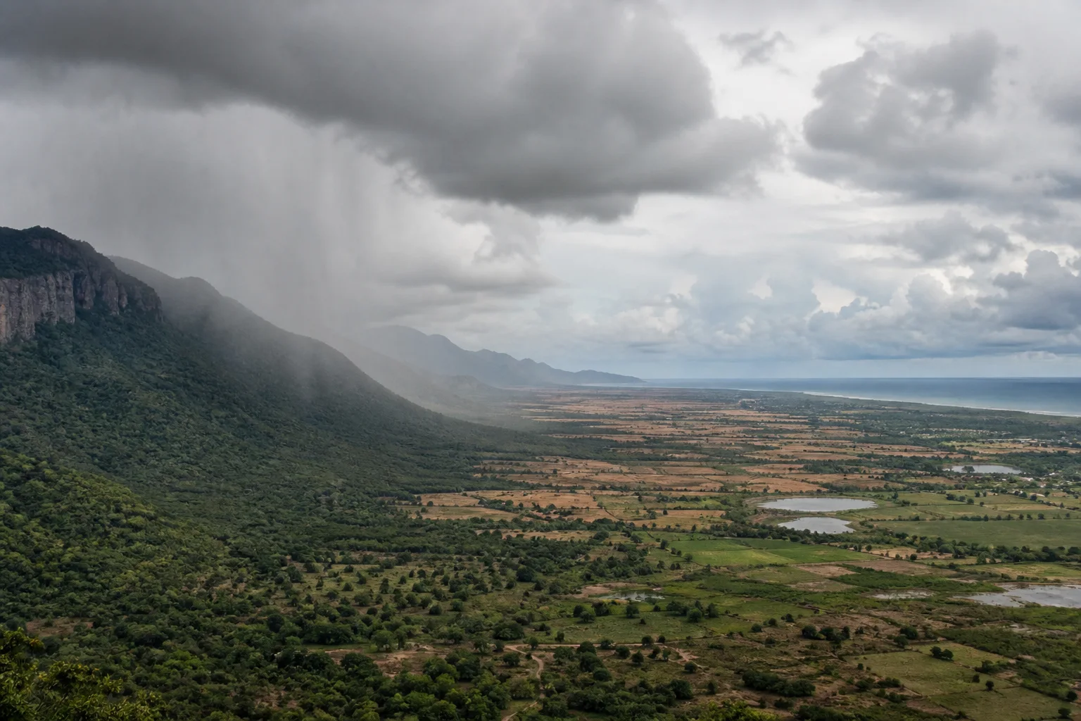
One state, two seasonal rain stories
A map of India's summer rainfall can make Tamil Nadu look like an exception. Across much of the country, the southwest monsoon from June to September is the dominant rainy season. Tamil Nadu receives rain during those months too, especially in its western highlands and some interior districts, yet the state as a whole depends unusually strongly on rainfall during October to December. The India Meteorological Department describes the northeast monsoon as Tamil Nadu's chief rainy season and assigns it a larger share of the subdivision's normal annual rainfall than the southwest monsoon.
That statement is a statewide climate summary, not a promise for a town or a particular year. Rainfall varies sharply with relief, distance from the sea, the path of weather systems and local conditions. A hill slope facing moisture-bearing winds, a plateau behind the Western Ghats and a low coastal district can experience the same season differently. The useful question is therefore not which monsoon Tamil Nadu has. It is how two large seasonal wind patterns meet a varied landscape, and why their influence changes from west to east.
Sources for this section: IMD Northeast Monsoon 2024, IMD Monsoon Information.
The southwest monsoon reaches Tamil Nadu unevenly
The southwest monsoon carries moist air toward the Indian subcontinent during the boreal summer. On India's west coast, the Western Ghats force much of that air to rise. Rising air cools, moisture condenses and windward slopes can receive substantial rain. This is why the western face and high ranges cannot be read from the same seasonal pattern as the plains immediately to their east. The Nilgiris, Anamalai and other highland areas contain their own local variations, but elevation and exposure are fundamental to understanding them.
Tamil Nadu lies largely on the leeward side of this mountain barrier. Air that has crossed the crest has already lost part of its moisture, while descending air tends to warm. The result is commonly described as a rain-shadow effect. It does not mean that the entire state stays dry from June to September, nor that every place east of the range receives the same amount. It explains why the southwest monsoon contributes less to Tamil Nadu's statewide annual total than it does across many other parts of India.
Sources for this section: IMD Northeast Monsoon 2024, UNESCO Western Ghats.
The northeast monsoon reverses the coastal relationship
During the retreating-monsoon season, low-level winds over southern India commonly acquire an easterly or northeasterly component. For Tamil Nadu, the critical point is that air reaching the east coast can gather moisture over the Bay of Bengal. Rain-bearing disturbances, depressions and cyclonic systems in the Bay may then affect the coast and adjoining districts. This sea-facing exposure helps explain why October to December becomes the principal rainfall season for much of the state even though the phrase northeast monsoon sounds as if the wind should arrive from dry land.
The season is variable. The IMD's climatological reporting shows substantial year-to-year variation, and the distribution within one season can be concentrated into a few events rather than spread evenly. A normal onset date, seasonal average or district climatology is not a daily forecast. Current warnings, heavy-rain alerts and cyclone information belong to official operational weather services. The My Tamil Nadu Today page can help readers reach those sources, while this article remains a background explanation rather than a live-weather product.
Sources for this section: IMD Northeast Monsoon 2024, RMC Chennai.
Coast, interior and western hills read the seasons differently
The Coromandel Coast faces the Bay of Bengal and is especially exposed to northeast-monsoon systems, but coastal exposure alone does not produce one uniform result. The track, strength and speed of each system matter, as do drainage, urban surfaces and local topography. Farther inland, rainfall can weaken, arrive in different episodes or interact with hills. In the far west, windward mountain zones may already have received important southwest-monsoon rain before the eastern coast enters its main wet season.
The Eastern Ghats add another layer. They are not a continuous wall like the Western Ghats; in Tamil Nadu they appear as separated hill systems and ranges. Their slopes, gaps and surrounding plains influence local rainfall and runoff without creating a single statewide boundary. This is why statements such as Tamil Nadu is dry in July or Tamil Nadu is rainy in November are too broad. They may describe a regional tendency, but travellers, farmers and residents need location-specific evidence.
Sources for this section: TNGCC Green Tamil Nadu Mission, Tamil Nadu Forest Policy Note.
Use rainfall percentages as orientation, not prediction
The IMD's 2024 northeast-monsoon report gives a useful climatological frame for the Tamil Nadu subdivision: roughly 36 percent of normal annual rainfall is associated with the southwest-monsoon season and roughly 48 percent with the northeast-monsoon season. Those figures explain the unusual statewide balance. They do not say that every district receives those shares, that the same balance repeats each year or that rain will be evenly distributed across each month.
Climate normals are long-period reference values. Forecasts describe expected conditions over a future period; observations report what actually occurred; warnings communicate a current hazard. Mixing these categories creates false certainty. When planning, first use climate information to understand broad seasonal exposure, then consult dated forecasts and official warnings close to travel. After a heavy-rain event, verify road, rail, site and local access through the responsible operator instead of inferring conditions from a statewide forecast.
Sources for this section: IMD Northeast Monsoon 2024, IMD Monsoon Information.
Monsoon influence continues after the rain stops
Rain is not only a travel condition. It moves through river basins, tanks, wetlands, farms, reservoirs, soils and cities. The timing and intensity of rainfall can matter as much as a seasonal total: a short intense event behaves differently from repeated moderate rain, and rain falling over a catchment may affect water levels downstream after skies clear locally. Tamil Nadu's long history of tanks and managed water landscapes reflects the need to store, distribute and live with seasonal variability.
These relationships are also why a dramatic rainfall photograph cannot represent an entire monsoon. A full account would include groundwater, irrigation, land cover, drainage, coastal flooding and governance, each with its own evidence. This article stays with the geographic foundation: western relief intercepts part of the southwest flow, eastern exposure opens the state to Bay of Bengal systems later in the year, and local landscapes mediate what either season means on the ground.
Sources for this section: IMD Northeast Monsoon 2024, Tamil Nadu Forest Policy Note.
Plan with a place, a month and a verification date
For practical planning, begin with the destination rather than the statewide season. Identify whether it is a high western slope, an interior city, an eastern coastal settlement or a low-lying wetland. Next, use the By Month guide to understand broad seasonal context. Finally, return to official forecasts and local notices near departure. This sequence keeps a useful climate pattern from turning into an unsupported promise about clear skies, waterfall flow, wildlife activity or road access.
The two-monsoon idea is most valuable as a way to ask better questions. It explains why summer rain can be important in the western hills while autumn rain becomes decisive along much of the east; why one itinerary can cross contrasting conditions; and why Tamil Nadu cannot be summarized by India's most familiar June-to-September monsoon calendar. For a practical account of late southwest-monsoon travel choices, continue to the separate travel story rather than treating this explanation as an itinerary.
Sources for this section: RMC Chennai Monsoon Reports, RMC Chennai.
Sources & Further Reading
These authoritative references support the historical, geographic, or seasonal context in this story. Current conditions and operating details still require a fresh official check.
- Northeast Monsoon 2024: Tamil Nadu, Puducherry and Karaikal · India Meteorological Department, Regional Meteorological Centre Chennai
- Monsoon Information · India Meteorological Department
- Monsoon Reports · India Meteorological Department, Regional Meteorological Centre Chennai
- Regional Meteorological Centre Chennai · India Meteorological Department
- Western Ghats · UNESCO World Heritage Centre
- Green Tamil Nadu Mission Document · Tamil Nadu Green Climate Company
- Forests and Environment Policy Note 2024-2025 · Tamil Nadu Forest Department
Related Stories
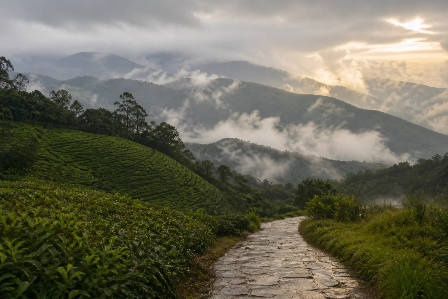
Tamil Nadu in the Late Southwest Monsoon: Where to Travel in August and September
A weather-aware way to choose between Tamil Nadu's hills, heritage cities, waterfalls, and coast during August and September.

The Western Ghats of Tamil Nadu: Through Hills, Forests and Living Landscapes
A mountain journey through the Nilgiris, Anamalai and Palani Hills, reading elevation, forest, water, wildlife habitat and human settlement as one connected landscape.

From the Western Ghats to the Coast: Reading Tamil Nadu's Connected Landscapes
Follow water and habitat from the Western Ghats through forests, wetlands and deltas to Tamil Nadu's eastern coast and marine shallows.

Muthupet Mangroves: Read the Lagoon Before Taking the Trail
A wetland-first guide to Muthupet's mangroves, lagoon, tidal channels, bird observation and the limits of any current boating or access promise.
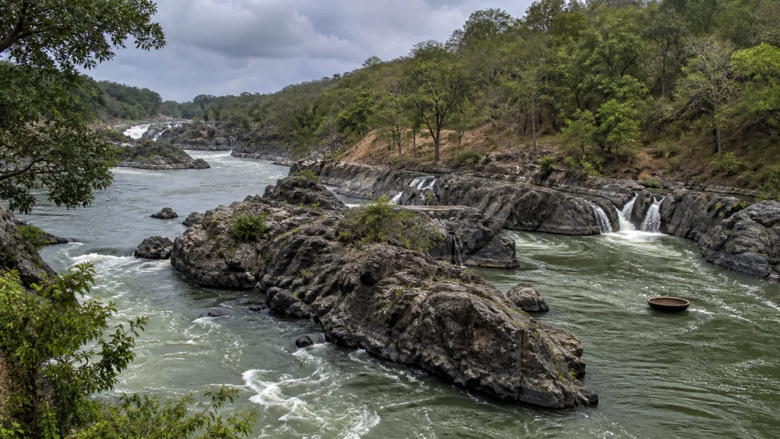
Hogenakkal: Read the Cauvery Before Chasing the Falls
A condition-led guide to Hogenakkal that begins with the Cauvery, its rocky channels and local livelihoods rather than promising a fixed waterfall experience.
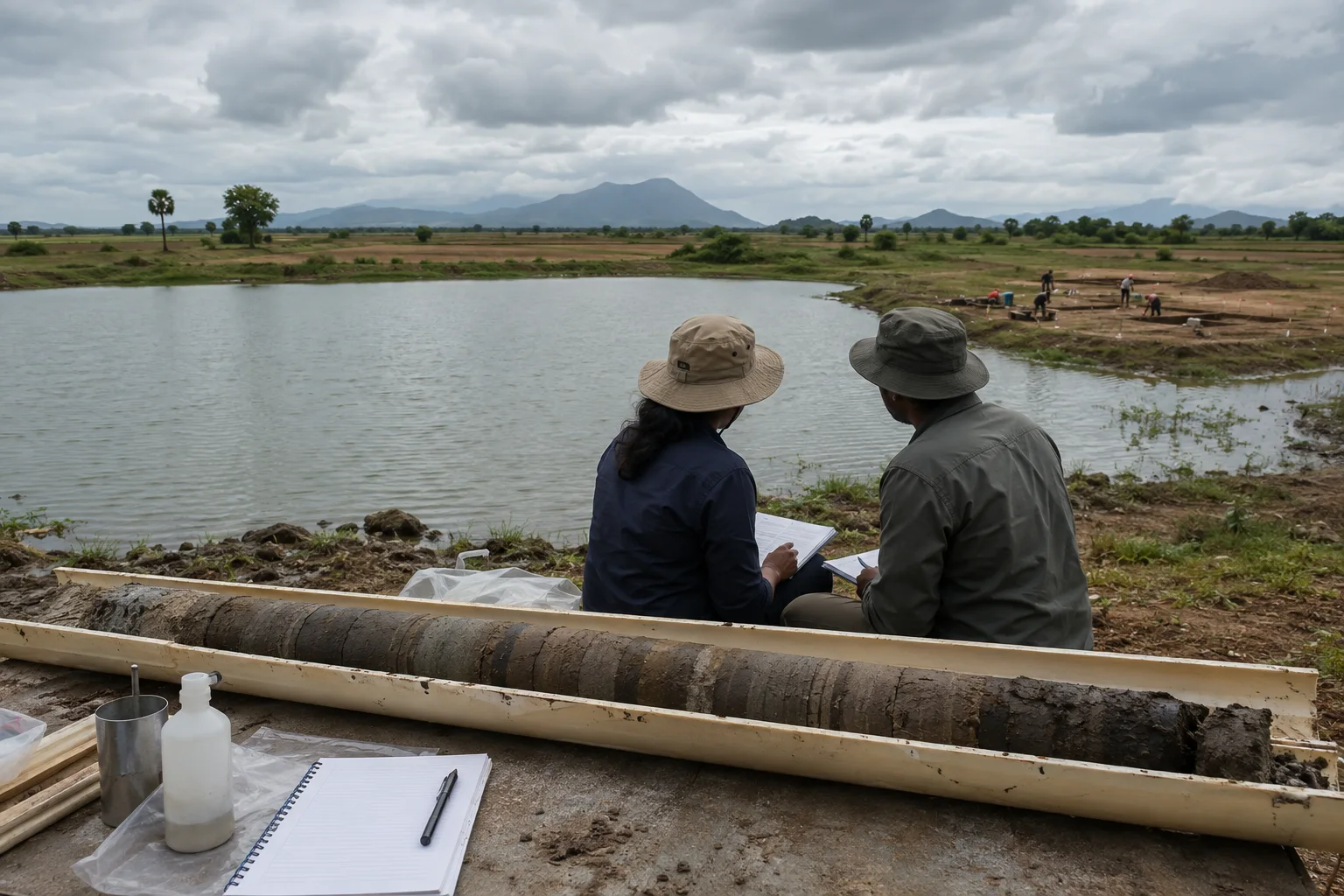
Kondagai Lake: How Mud Records Monsoon and Landscape Change
An evidence-first guide to reading a dated lake-sediment record without turning environmental correlation into an archaeological conclusion.
Editorial attribution
Prepared and reviewed by My Tamil Nadu Editorial Desk. Modified 22 August 2026.