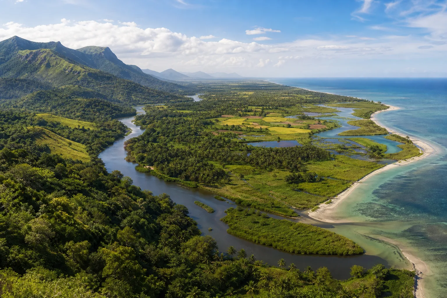
Read Tamil Nadu as a transect, not a set of scenic categories
A trip menu separates hills, wildlife, waterfalls, wetlands and beaches because that makes choosing easier. A landscape does not observe those menu boundaries. Rain falling on high ground can enter forest soil, a stream, a reservoir, an agricultural channel, a river, a deltaic wetland and finally the sea. Sediment and nutrients travel with it; barriers, extraction and pollution can interrupt it. A coast therefore carries part of the history of inland water, while an upland decision can have consequences far below.
The Western Ghats form Tamil Nadu's great western mountain context, but the story continues across interior plateaus and plains to the long eastern coastline. The Nilgiris, Anamalai and Palani hills are distinct landscapes rather than interchangeable hill-station backdrops. Rivers and wetlands create further transitions, and the Gulf of Mannar adds coral reef, seagrass, island and shallow-marine contexts. This article follows those relationships without pretending that one route physically displays the entire system.
Sources for this section: Tamil Nadu forest policy note, UNESCO Western Ghats, Tamil Nadu wetlands.
The Western Ghats are both a mountain system and a protected serial property
The name Western Ghats describes a long mountain chain running along India's western side. UNESCO's Western Ghats World Heritage property is more specific: it is a serial property composed of selected protected components, not a boundary around every slope, town or plantation in the geographic Ghats. Responsible writing must keep those meanings separate. Saying that Ooty or every Anamalai road is 'inside the UNESCO site' without checking the official component map can create a false designation.
The Ghats matter for biological diversity, endemism, rainfall relationships and river systems, but broad significance should not become a promise that a casual visitor will see rare wildlife. Much of the visible mountain landscape is a mosaic of protected habitat, settlements, roads, plantations, reservoirs and other land uses. A useful trip asks which authority manages the exact place, what activity is permitted there and how the visited edge connects to a larger mountain system.
Sources for this section: UNESCO Western Ghats, Tamil Nadu forest policy note.
Nilgiris, Anamalai and Palani hills: three ways to notice elevation
The Nilgiris occupy a high mountain meeting zone and include cool upper landscapes, shola-grassland contexts, forest, cultivation and dense settlement. Farther south, the Anamalai landscape includes steep elevational changes, forest and plantation mosaics, and connections with major protected areas. The Palani Hills rise eastward from the main Ghats and hold their own upland environments around Kodaikanal and beyond. These names describe broad geographic landscapes; they do not make every roadside patch one habitat type.
Elevation changes temperature, moisture, vegetation and the speed at which a visitor can move, but no hill region has one permanent weather identity. Cloud and rainfall vary by season and system. The best observation is close and modest: shifts in canopy, grassland, cultivated slope, stream form, building pattern and visibility. Stay on public or authorised routes, avoid entering estates or forests from social-media pins, and never seek wildlife by blocking a road or following sensitive location reports.
Sources for this section: Tamil Nadu biosphere reserves, Tamil Nadu national parks, UNESCO Western Ghats.
Forests are mosaics, not a single green band
Tamil Nadu's forest contexts range across wet evergreen, montane, moist and dry deciduous, thorn and coastal-associated systems, with local classification requiring authoritative ecological evidence. Even within a named protected area, elevation, slope, rainfall, disturbance history and water create variation. Outside protected areas, fragments and corridors can remain ecologically important. A green satellite image or roadside canopy does not establish legal status, habitat quality or public access.
For visitors, this means separating landscape appreciation from entry entitlement. A national park, wildlife sanctuary, tiger reserve, reserve forest and biosphere reserve are not interchangeable labels, and their boundaries or tourism zones cannot be inferred from a nearby town name. Use the Forest Department for designation and management context, then obtain current instructions for the exact authorised activity. Quiet observation from a lawful public setting is valid nature travel even when there is no safari, trail or animal encounter.
Sources for this section: Tamil Nadu national parks, Tamil Nadu biosphere reserves, Tamil Nadu forest policy note.
Follow water from catchment to river and delta
Mountains do not simply supply a blue line called a river. Rain is stored, delayed and redirected by soil, vegetation, rock, wetlands, reservoirs and human infrastructure. By the time water reaches the plains, it may support towns, industry and agriculture before entering a delta or estuary. Seasonal flow and management produce changing channels and exposed surfaces. An evergreen travel article cannot tell a visitor the present water level, release condition or safety of an approach.
The Cauvery delta is one prominent example of a river-shaped cultural and agricultural landscape, but it should not be romanticised as untouched nature. Fields, channels, settlements, temples, roads and wetlands reveal a long relationship between water and human work. Observe from public places, do not enter working fields without permission, and avoid treating floodplains or dry channels as recreational shortcuts. Current rain, release and flood information belongs with responsible authorities and weather services.
Sources for this section: Tamil Nadu forest policy note, IMD Chennai.
Wetlands are transitions, refuges and working landscapes
Wetlands can include lakes, marshes, tanks, estuaries, mangroves and other water-dependent systems, each with different hydrology and management. They may hold water seasonally, support migratory and resident birds, reduce or store flows, sustain livelihoods and connect inland catchments to the coast. A wetland that appears quiet is not empty, and a large gathering of birds is not permission to approach. Water level, species presence and public access all change.
Ramsar designation identifies wetlands of international importance under the Convention, but it does not turn an entire district into a Ramsar site or guarantee visitor infrastructure. Use the Tamil Nadu State Wetland Authority and Ramsar records for the exact named site and designation. Birdwatch from recognised public edges, keep distance, avoid playback and drones, and do not publish nesting or roosting coordinates. Seasonal guidance should remain general until current local conditions are confirmed.
Sources for this section: Tamil Nadu wetlands, Tamil Nadu Ramsar sites.
Tamil Nadu's eastern coast is not one continuous beach experience
The Bay of Bengal coast includes urban waterfronts, sandy beaches, rocky and engineered edges, estuaries, mangroves, deltas, fishing settlements, ports, sacred shorelines and protected archaeological settings. A beach near Chennai, the Mamallapuram coast, the Cauvery delta margin and the Ramanathapuram shore differ in exposure, ecology and public use. One photograph cannot establish swimming safety, erosion condition, cleanliness or access at another place.
Read the coast laterally as well as toward the sea. Notice where a river or drain meets the shore, where dunes or vegetation remain, where boats are worked and where religious or livelihood activity has priority. Keep away from nets, craft and private work areas; ask before photographing people; and treat all water entry as a current safety decision. A meaningful coastal visit can focus on landscape and community context without entering the sea.
Sources for this section: Tamil Nadu forest policy note, IMD Chennai.
In the Gulf of Mannar, distinguish gulf, marine national park and biosphere reserve
The Gulf of Mannar is a broad geographic marine area between India and Sri Lanka. Within the Indian side, official conservation language also refers to the Gulf of Mannar Marine National Park and the Gulf of Mannar Biosphere Reserve. These terms describe related but different geographic and management concepts; they should not be used as synonyms. A trip based in Rameswaram or Ramanathapuram is not automatically inside every protected designation at every moment.
The region is associated with coral reefs, seagrass, islands and diverse marine life, but that ecological importance must not become a sighting promise or invitation to sensitive habitat. Use authorised operators and official rules for any current marine activity. Do not collect shells or coral, touch marine organisms, disclose sensitive wildlife coordinates or assume that clear shallow water is open for recreation. The most responsible experience may be interpretation from a recognised public shore or visitor setting.
Sources for this section: Tamil Nadu biosphere reserves, Tamil Nadu national parks.
Season changes the connections, not only the scenery
Southwest monsoon exposure, rain-shadow relationships, the northeast monsoon and local weather systems affect parts of Tamil Nadu differently. Seasonal change can alter soil moisture, stream flow, wetland extent, agricultural work, coastal conditions and visibility in the hills. It does not provide a simple statewide wet-or-dry switch. An average month can help frame questions, but it cannot replace a current forecast, warning or local access notice.
Plan nature travel by sensitivity. A high viewpoint may be visibility-sensitive; a waterfall is catchment- and access-sensitive; a wetland visit is water-level- and disturbance-sensitive; a marine activity is weather-, sea- and permission-sensitive. Keep an alternative that remains worthwhile under changed conditions. Use By Month for seasonal context and Tamil Nadu Today for fresh handoffs, then consult the responsible official source before a weather-dependent or regulated activity.
Sources for this section: IMD monsoon FAQ, IMD Chennai.
Biodiversity matters even when a visitor sees no headline species
The Western Ghats and Tamil Nadu's coastal and wetland systems support significant biological diversity, including endemic and threatened species. A traveller's brief encounter is a poor measure of that importance. Weather, time, habitat, season, disturbance and chance shape visibility, and responsible observers do not pressure guides to produce an animal. Vegetation structure, insects, calls, tracks viewed from a lawful path and relationships among water, soil and land use can be just as informative.
Avoid species-checklist claims that are not tied to a credible source and exact geography. A species recorded somewhere in the Nilgiris is not therefore expected at every Ooty viewpoint; a marine species associated with the Gulf is not promised from a boat or shore. Never use playback, bait, pursuit or close approach for a photograph. If a rare encounter occurs, follow local guidance before sharing location data that could increase disturbance.
Sources for this section: UNESCO Western Ghats, Tamil Nadu forest policy note, Tamil Nadu wetlands.
Build a connected nature trip without trying to cross the whole state
Choose one relationship to follow. Around the Nilgiris, compare high ground, forest edge, settlement and a recognised wetland or river context without chasing distance. In the Anamalai region, examine how plantation, forest and foothill landscapes meet while staying on authorised routes. In the Cauvery region, connect river, delta agriculture, wetland and coast through public viewpoints and cultural places. Around Rameswaram, link island geography, coast and Gulf of Mannar interpretation without claiming entry to protected marine space.
Depth is more revealing than a mountain-to-sea speed run. Use districts and destination guides to find lawful bases, the Trip Planner to compare interests, and Responsible Travel to set behaviour before choosing activities. Verify weather, roads, forest entry, boating and local notices close to departure. The goal is not to collect ecosystems but to understand that each visited place participates in a larger flow of water, habitat, work and protection.
Sources for this section: Tamil Nadu national parks, Tamil Nadu wetlands.
Sources & Further Reading
These authoritative references support the historical, geographic, or seasonal context in this story. Current conditions and operating details still require a fresh official check.
- Western Ghats · UNESCO World Heritage Centre
- Forests and Environment Department Policy Note 2025-2026 · Government of Tamil Nadu
- Biosphere Reserves · Tamil Nadu Forest Department
- National Parks · Tamil Nadu Forest Department
- Wetlands of Tamil Nadu · Tamil Nadu State Wetland Authority
- Ramsar Convention and sites in Tamil Nadu · Tamil Nadu State Wetland Authority
- Frequently Asked Questions on Monsoon · India Meteorological Department
- Regional Meteorological Centre Chennai · India Meteorological Department
Related Stories
Tamil Nadu in the Late Southwest Monsoon: Where to Travel in August and September
A weather-aware way to choose between Tamil Nadu's hills, heritage cities, waterfalls, and coast during August and September.
Choosing Your First Tamil Nadu Trip: Heritage, Temples, Hills or Coast?
A decision framework for choosing the kind of Tamil Nadu journey you want before choosing a long list of destinations.
The Western Ghats of Tamil Nadu: Through Hills, Forests and Living Landscapes
A mountain journey through the Nilgiris, Anamalai and Palani Hills, reading elevation, forest, water, wildlife habitat and human settlement as one connected landscape.
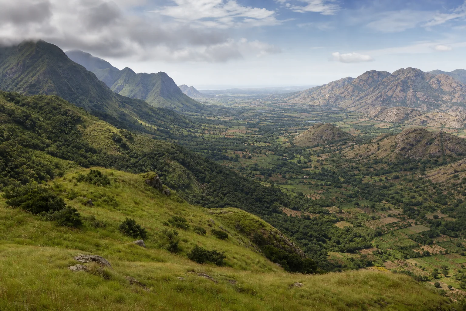
From the Western Ghats to the Eastern Ghats: Reading Tamil Nadu's Mountain Landscapes
A comparative journey through Tamil Nadu's high western wall and broken eastern ranges, connecting mountains with monsoon, habitats, settlement and travel.
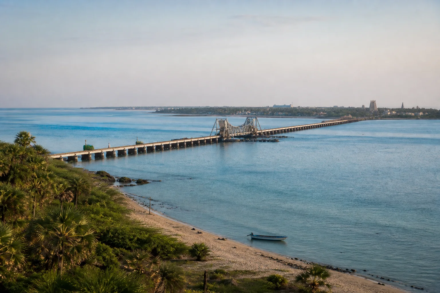
Rameswaram as an Island: Temple, Pamban, Dhanushkodi and the Sea
A connected reading of Rameswaram's sacred town, mainland crossing, exposed eastern coast and protected marine context rather than four unrelated stops.
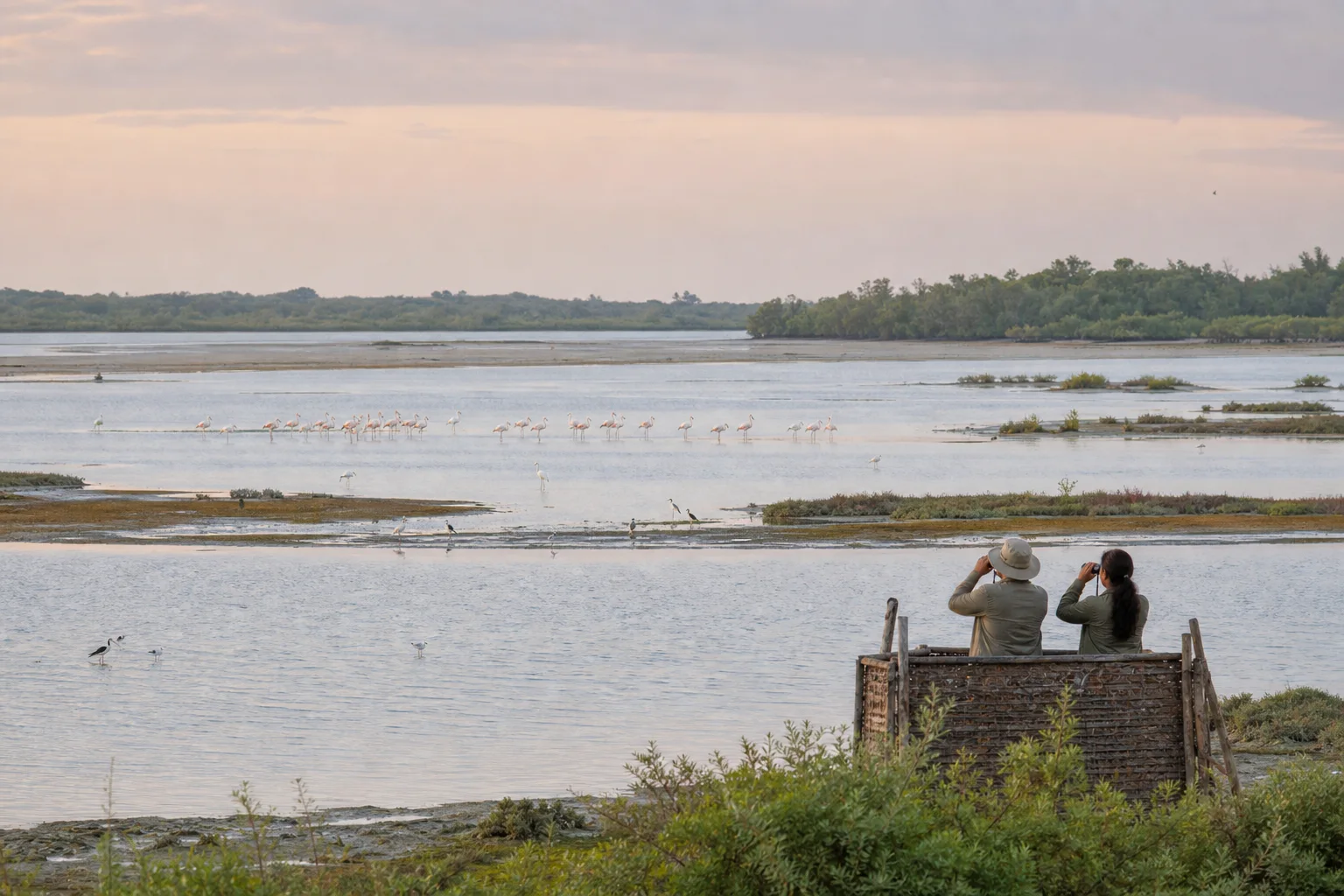
Point Calimere: A Wetland-First Birdwatching Journey
How to read mudflats, saline lagoons, forest, salt pans and coast before looking for a species list at Kodikkarai in Nagapattinam district.
Frequently asked questions
Is every part of the Western Ghats in Tamil Nadu a UNESCO World Heritage site?
No. The geographic mountain chain is broader than UNESCO's serial property, which consists of selected components. Check the official UNESCO record and maps before using the designation for an exact place.
Where should a first-time nature visitor begin?
Choose one direction from the Nature hub: hills, forests, wildlife, waterfalls, wetlands, coast or marine nature. Then use a destination or district guide to select a practical base.
Can this article confirm current forest, waterfall or boating access?
No. Access, weather, water conditions and operating arrangements are current facts. Confirm them with the responsible authority or operator close to the visit.
Are wildlife sightings likely in protected areas?
No sighting is guaranteed. Habitat protection matters independently of visitor visibility, and responsible observation avoids pursuit, bait, playback and sensitive-location sharing.
Is the Gulf of Mannar the same as the Marine National Park?
No. The gulf is a geographic marine area; the Marine National Park and Biosphere Reserve are related but distinct conservation designations with specific official contexts.
Editorial attribution
Prepared and reviewed by My Tamil Nadu Editorial Desk. Modified 15 August 2026.