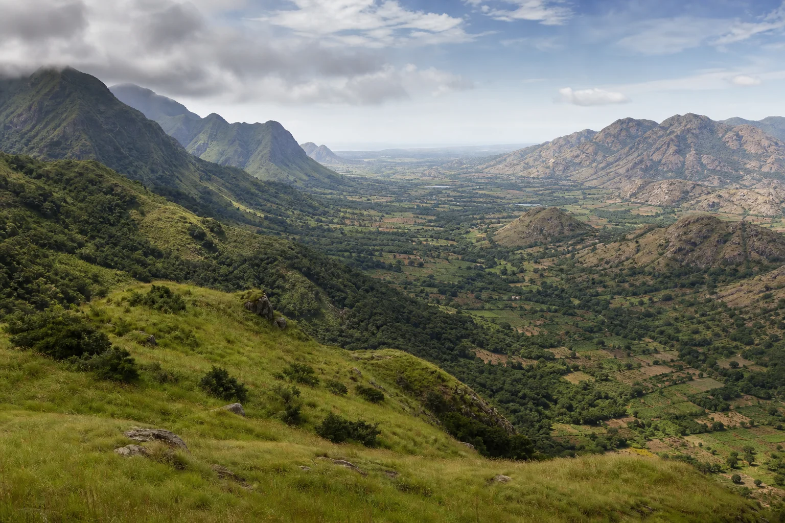
Do not imagine one mountain chain around Tamil Nadu
The names Western Ghats and Eastern Ghats sound like matching borders, but the two systems are not mirror images. Along Tamil Nadu's west, high ranges form part of a long, comparatively continuous escarpment extending down peninsular India. To the north and east, the Eastern Ghats appear as older, discontinuous hill groups separated by plains, river valleys and settled corridors. Both shape Tamil Nadu, yet they do so through different forms and at different scales.
Comparison is useful only if it avoids a simple wet-west and dry-east cartoon. Elevation, slope direction, geology, vegetation, land use and local rainfall vary within each system. A plateau in the Nilgiris, a steep Anamalai slope, the Palani uplands, the broken Javadi Hills and the compact Kolli Hills should not be treated as interchangeable scenery. The aim is to build a geographic vocabulary that makes permanent guides and real journeys easier to understand.
Sources for this section: Tamil Nadu Forest Policy Note, Tamil Nadu rare and endemic flora, TNGCC Green Tamil Nadu Mission.
The Western Ghats form a high monsoon-facing wall
The Western Ghats run broadly parallel to India's western coast and rise abruptly from the coastal side. UNESCO emphasizes their role in influencing the Indian monsoon and their exceptional biological importance. In Tamil Nadu, the ranges include landscapes associated with the Nilgiris, Anamalai and Palani Hills, among others. Their height and exposure help create sharp transitions between wet windward slopes, high plateaus and the drier interior lying to the east.
That broad structure supports many local mosaics rather than one forest type. Montane grasslands and shola forest occur in some high-elevation settings; moist and dry forests occupy other belts; cultivated land, plantations, reservoirs, towns and transport corridors also form part of the contemporary landscape. UNESCO World Heritage status applies to defined component sites within a serial property, not to every hill, road or settlement in the Western Ghats. Protected-area and access claims must likewise be attached to exact legal units.
Sources for this section: UNESCO Western Ghats, Tamil Nadu Forest Policy Note.
Nilgiris, Anamalai and Palani Hills are related, not synonymous
The Nilgiris occupy a major highland junction in the northwest of Tamil Nadu, with plateaus, steep slopes and connections toward neighbouring states. Farther south, the Anamalai landscape includes deeply folded forested ranges and protected areas extending across a state boundary. The Palani Hills project eastward and include upper plateaus as well as lower slopes. These names describe subregions within a larger western mountain system; using Western Ghats as if it were a single destination hides their different ecologies and settlement histories.
Popular hill stations reveal only part of this mountain geography. Roads, viewpoints and cool-climate towns can make altitude visible, but they do not automatically explain watersheds, habitat continuity or the labour that sustains farms and plantations. A responsible journey distinguishes a municipal destination from a reserve, a public road from a forest route and an ordinary landscape view from a wildlife encounter. No animal sighting should be promised, and sensitive locations should never be publicized for the sake of a checklist.
Sources for this section: Tamil Nadu Forest Policy Note, UNESCO Western Ghats.
Gaps and corridors matter as much as summits
Mountain systems are also defined by their openings. The Palghat Gap is a major break in the Western Ghats north of the Anamalai ranges. It creates a lower corridor between Tamil Nadu and Kerala and affects transport, airflow and biogeographic relationships. Elsewhere, passes and river valleys guide roads, settlement and movement at smaller scales. A gap is not empty space; it can be an intensely used landscape connecting regions that the higher ridges separate.
In northern Tamil Nadu, the Sathyamangalam landscape is often discussed as a connection between the Western and Eastern Ghats. That wording should be used carefully. It describes ecological and geographic continuity across a broad landscape, not a single visible junction where two labelled ridges meet. The official tiger reserve account emphasizes this connective setting. Travellers should use designated routes and current authority guidance without seeking wildlife corridors or other sensitive locations.
Sources for this section: UNESCO Western Ghats, Sathyamangalam Tiger Reserve.
The Eastern Ghats arrive as broken hill worlds
The Eastern Ghats extend through several Indian states, but they are not a continuous escarpment in Tamil Nadu. Here, hill groups such as the Javadi, Yelagiri, Servarayan, Kolli and Pachamalai ranges rise from surrounding plains and are separated by broad settled landscapes and river systems. Their discontinuity gives them a different visual and ecological rhythm from the western wall: isolated massifs, tablelands, rocky slopes and forest fragments recur rather than one unbroken crest.
Many eastern hill landscapes receive an important share of rain during the northeast-monsoon season, though local elevation and exposure complicate the pattern. Forest condition also varies with soil, rainfall, fire, grazing, extraction, cultivation, roads and settlement history. Calling the Eastern Ghats drier than the Western Ghats can be a useful first comparison, but it cannot describe every slope or season. Some pockets hold moist vegetation and important habitats; some western rain-shadow areas are dry.
Sources for this section: TNGCC Green Tamil Nadu Mission, Eastern Ghats EIACP, Tamil Nadu rare and endemic flora.
Biodiversity does not follow one tourism label
Tamil Nadu's mountain habitats support significant plant and animal diversity, including endemic and threatened species. The Western Ghats are globally recognized as a biodiversity hotspot, while the Eastern Ghats also contain important, sometimes fragmented habitats and species assemblages. A comparative article should not turn this into a contest. Conservation needs differ with landscape continuity, pressure, legal status and the ecology of particular species.
Protected-area language requires precision. A national park, wildlife sanctuary, tiger reserve, reserve forest, biosphere reserve and UNESCO World Heritage component are not interchangeable designations. Their boundaries and responsible authorities may overlap without becoming identical. The same caution applies to wildlife status: a species being associated with a large landscape does not establish its presence at a roadside viewpoint. Permanent nature pages keep designation-specific claims attached to authoritative records; visitors should avoid location sharing for rare or vulnerable wildlife.
Sources for this section: UNESCO Western Ghats, Tamil Nadu Forest Policy Note, Eastern Ghats EIACP.
Mountain landscapes are also worked and inhabited
Forests and protected areas are only part of the mountain story. Tamil Nadu's hills contain towns, villages, farms, estates, reservoirs, roads and places of worship. Agricultural choices reflect elevation, rain, soils, markets and historical change. Plantation landscapes may look green from a distance while supporting a very different ecology from native forest. Likewise, a sparsely wooded slope may carry cultural and livelihood meanings that a scenic label fails to reveal.
Discussion of indigenous and forest-dependent communities needs particular editorial care. Communities are not timeless decorations for a nature itinerary, and their knowledge or identity should not be generalized across unrelated groups. This article therefore avoids community tourism claims and detailed cultural descriptions that require consultation and specialist review. Travellers can still act responsibly: respect private and community land, use authorized local services, photograph people only with consent and keep waste, noise and off-route exploration under control.
Sources for this section: Tamil Nadu Forest Policy Note, TNGCC Green Tamil Nadu Mission.
Compare landscapes without collecting summits
A Western-to-Eastern Ghats journey is best planned as a comparison of a few accessible landscapes, not a race across every named hill. Choose one western highland and one eastern range, then ask the same questions in each: how continuous are the ridges, which way do slopes face, where does water move, what land uses surround forest, and which rules govern access? Maps can establish broad relationships, but they should not be used to enter unmapped forest or sensitive habitat.
Season matters, but current conditions matter more. Rain can affect visibility, roads, trails and waterfalls; dry periods can increase heat or fire risk. Check official notices close to travel and accept closures. The deepest contrast is not simply lush versus dry. It is between two mountain systems whose forms have shaped monsoon exposure, ecological connections and human settlement in different ways. Reading that difference makes Tamil Nadu's plains, rivers and coasts easier to understand as parts of the same geography.
Sources for this section: Tamil Nadu Forest Policy Note, TNGCC Green Tamil Nadu Mission.
Sources & Further Reading
These authoritative references support the historical, geographic, or seasonal context in this story. Current conditions and operating details still require a fresh official check.
- Forests and Environment Policy Note 2024-2025 · Tamil Nadu Forest Department
- Green Tamil Nadu Mission Document · Tamil Nadu Green Climate Company
- Western Ghats · UNESCO World Heritage Centre
- Rare and Endemic Flora of Tamil Nadu · Tamil Nadu ENVIS Centre
- Eastern Ghats Resource Partner · Environment Protection Training and Research Institute, EIACP Programme Centre
- About Sathyamangalam Tiger Reserve · Tamil Nadu Forest Department
Related Stories
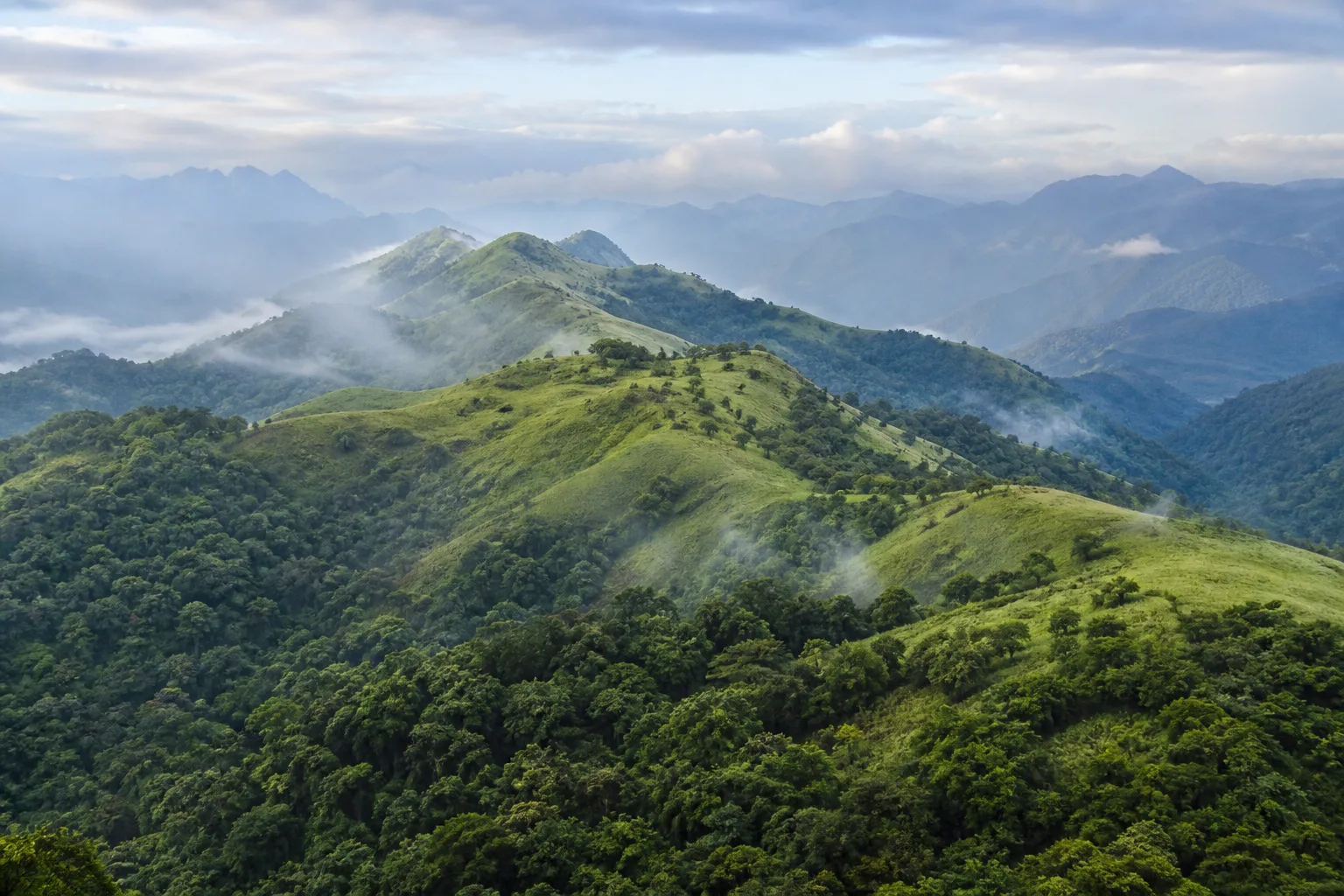
The Western Ghats of Tamil Nadu: Through Hills, Forests and Living Landscapes
A mountain journey through the Nilgiris, Anamalai and Palani Hills, reading elevation, forest, water, wildlife habitat and human settlement as one connected landscape.
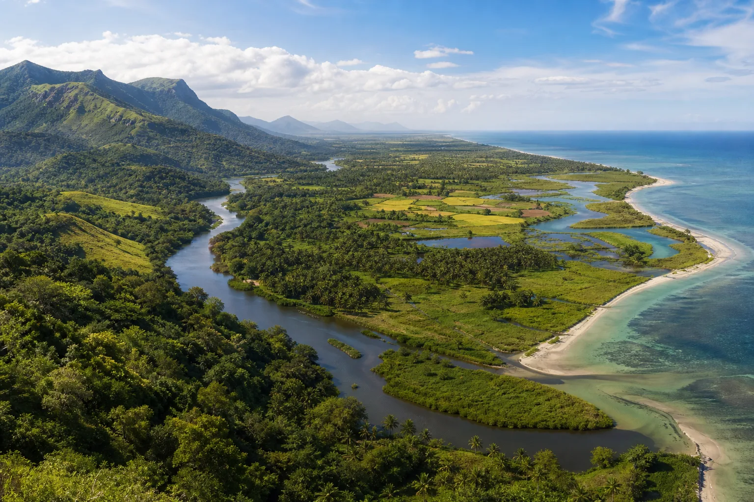
From the Western Ghats to the Coast: Reading Tamil Nadu's Connected Landscapes
Follow water and habitat from the Western Ghats through forests, wetlands and deltas to Tamil Nadu's eastern coast and marine shallows.
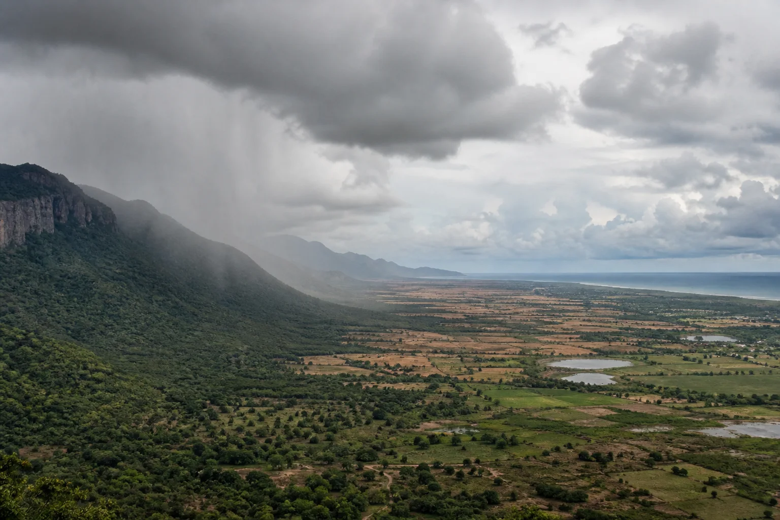
Why Tamil Nadu Has Two Monsoon Seasons: Southwest and Northeast Rain Explained
A geographic explanation of why Tamil Nadu's rain story differs from much of India, and why coast, interior and western hills cannot share one seasonal rule.
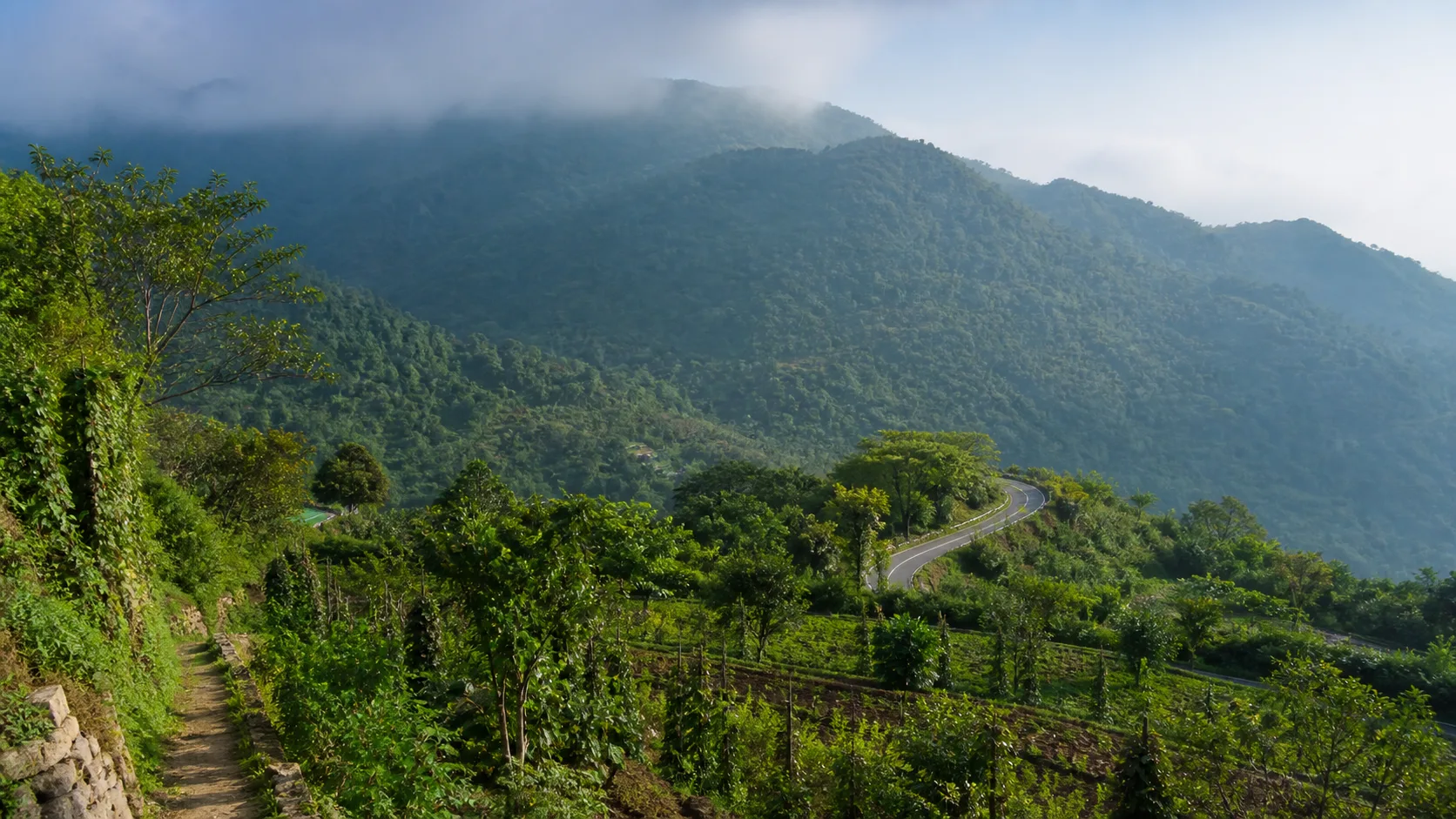
Kolli Hills: Plan an Eastern Ghats Journey Beyond the Hairpin Road
A landscape-first guide to Kolli Hills that shifts attention from bend-counting and waterfall reels toward farms, forest edges, settlements and careful mountain movement.
Editorial attribution
Prepared and reviewed by My Tamil Nadu Editorial Desk. Modified 22 August 2026.