Begin with the island, not a list of attractions
Rameswaram sits on Pamban Island between Palk Bay and Gulf of Mannar contexts. That geography shapes every journey. The mainland approach crosses open water; the temple town occupies a low coastal landscape; Dhanushkodi extends toward an exposed end of the island. Wind, salt, sand, transport and water are not background scenery. They influence settlement, pilgrimage, fishing work, engineering and travel risk.
A checklist can hide these relationships. Ramanathaswamy Temple, Pamban, Dhanushkodi and the Gulf are not four interchangeable attractions. One is a living sacred institution, one a working transport corridor, one a place of cyclone memory and exposed coast, and one a broad marine region with specific protected-area designations. Reading the island means preserving these differences while understanding how they meet.
Sources for this section: Ramanathapuram tourism, Rameswaram.
The temple belongs to a wider sacred geography
Ramanathaswamy Temple is a major Shaiva pilgrimage centre associated with pan-Indian sacred traditions. Its long corridors, enclosures and water-related practices are part of a living religious institution. Tradition explains meaning for worshippers; architecture, inscriptions and institutional records answer different historical questions. Visitors should not present every sacred narrative as archaeology or every ritual as a spectacle.
The temple's relationship with the sea and island matters, but participation in sacred-water practices is a personal religious choice governed by current temple guidance. Clothing rules, entry procedures, photography and ritual arrangements can change. Keep the temple central to the town's meaning without assuming it is the only way to understand Rameswaram. The working streets, homes, memorials and coast belong to the same lived place.
Sources for this section: Ramanathaswamy Temple, Rameswaram HR&CE.
Pamban makes island geography visible
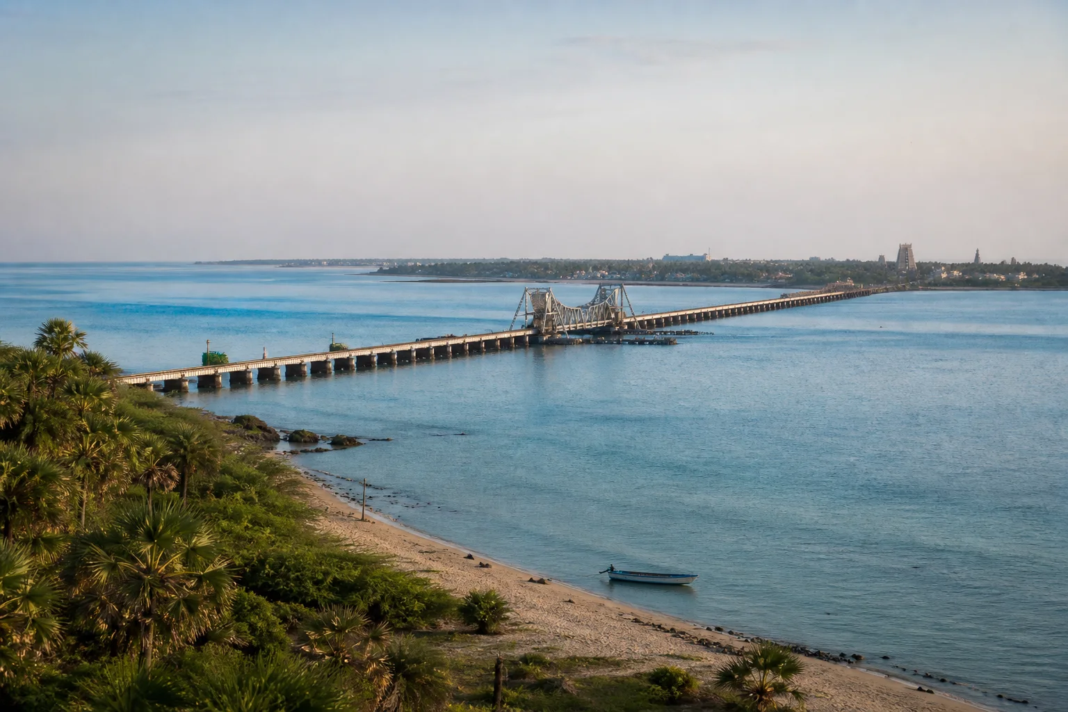
The Pamban crossing is infrastructure before it is a viewpoint. The historic rail connection and road bridge linked Rameswaram more closely with the mainland, supporting pilgrimage, local movement and trade. In April 2025, the new Pamban Rail Bridge was inaugurated. The Ministry of Railways describes it as India's first vertical-lift railway sea bridge, designed to accommodate both rail movement and maritime passage.
A recent engineering milestone should not become a live-service promise. Train operation, bridge procedures, viewing access and stopping rules are current information. Use Indian Railways for services and follow barriers around working infrastructure. Do not stop on bridges, enter railway land or assume the lift span will operate for visitors. The lasting travel insight is spatial: the crossing reveals how narrow water, island access and marine movement share one corridor.
Sources for this section: New Pamban Rail Bridge, Pamban engineering.
Dhanushkodi is a place of memory, not an abandoned playground
Dhanushkodi lies toward the exposed end of Rameswaram Island. Ramanathapuram District records the destruction associated with the 1964 cyclone and the survival of the Kothandaramasamy Temple. Ruins, sand, sea and road now draw visitors, but the landscape should not be romanticized as empty. It holds disaster memory, sacred association, fishing activity and continuing environmental exposure.
Road access, permissible stopping points, daylight limits and coastal warnings can change. A clear photograph does not prove that the route is open or the sea is safe. Use only the authorized road and public areas, return with a generous margin and do not climb fragile ruins. Ask before photographing people or work. Respect makes the place more intelligible than staged ruin photography.
Sources for this section: Dhanushkodi, Coastal weather.
Keep Palk Bay and Gulf of Mannar distinctions clear
Rameswaram lies near different marine contexts. Palk Bay is not another name for the Gulf of Mannar. Within the Gulf region, the geographic water body, Gulf of Mannar Marine National Park and Gulf of Mannar Biosphere Reserve are also related but distinct terms. Each describes a different geographic or management layer; being based in Rameswaram does not mean a visitor has entered every protected area.
Official sources associate the wider Gulf with coral, seagrass, islands and diverse marine life. This does not promise a dugong, dolphin, turtle or reef encounter. Do not use unauthorized boats, land on restricted islands, collect coral or shells, or share sensitive wildlife locations. Marine travel depends on current permission and sea state, and a cancelled trip is preferable to pressure on wildlife or unsafe water.
Sources for this section: Biosphere reserves, National parks.
Build a resilient island plan
Separate the island into practical blocks. Give the temple town enough time for worship, learning or respectful observation. Treat Pamban as a working crossing and geographic introduction. Keep Dhanushkodi as a conditional outward-and-return journey based on weather, road controls and daylight. Add marine interpretation only through currently authorized options. This structure keeps one change from collapsing the whole trip.
Before travel, check the district administration, temple authority, Indian Railways and IMD coastal warnings for the information each controls. Carry water and sun protection, protect electronics from salt and secure waste. The Ramanathapuram District guide provides the wider administrative setting. Rameswaram is most meaningful when sacred practice, engineering, memory, livelihoods and marine ecology are allowed to coexist without being flattened into one scenic coast.
Sources for this section: Ramanathapuram tourism, Coastal weather, New Pamban Rail Bridge.
Sources & Further Reading
These authoritative references support the historical, geographic, or seasonal context in this story. Current conditions and operating details still require a fresh official check.
- Tourism · Ramanathapuram District Administration
- Rameswaram · Ramanathapuram District Administration
- Ramanathaswamy Temple · Ramanathapuram District Administration
- Arulmigu Ramanathaswamy Temple · Tamil Nadu HR&CE Department
- Inauguration of the New Pamban Rail Bridge · Press Information Bureau, Government of India
- Bridging Progress: The Rise of the New Pamban Bridge · Ministry of Railways, Government of India
- Dhanushkodi · Ramanathapuram District Administration
- Biosphere Reserves · Tamil Nadu Forest Department
- National Parks · Tamil Nadu Forest Department
- Coastal Weather Bulletins · India Meteorological Department
Related Stories
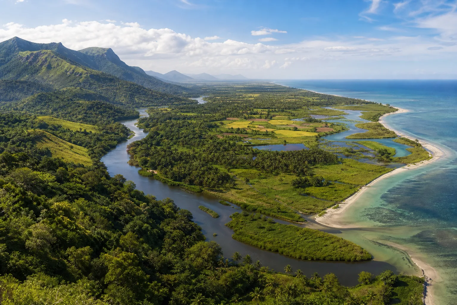
From the Western Ghats to the Coast: Reading Tamil Nadu's Connected Landscapes
Follow water and habitat from the Western Ghats through forests, wetlands and deltas to Tamil Nadu's eastern coast and marine shallows.
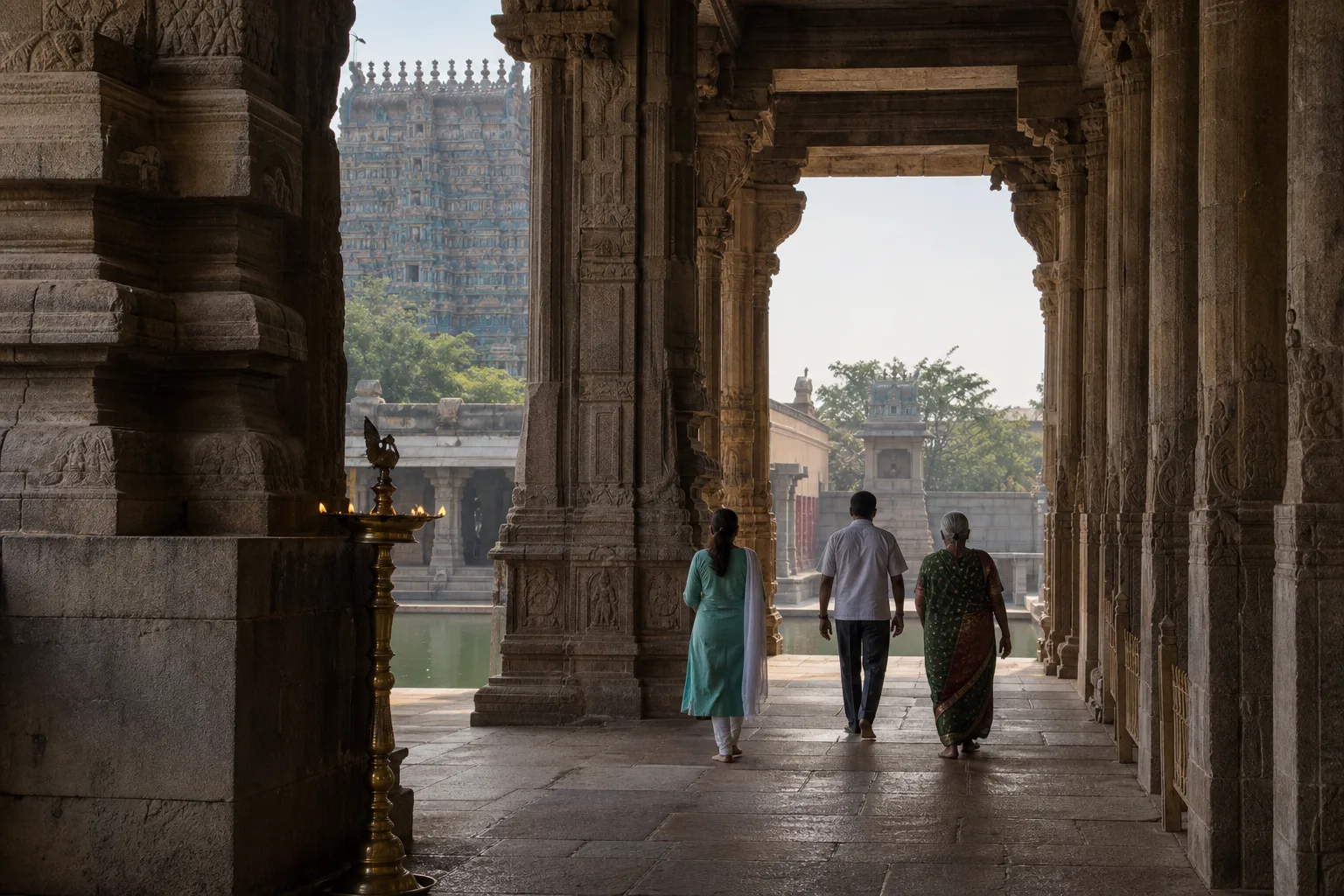
How to Read a Tamil Nadu Temple: Architecture, Ritual Space and Respectful Travel
A visitor's guide to reading temple architecture and ritual space without forgetting that the monument is also a living sacred place.
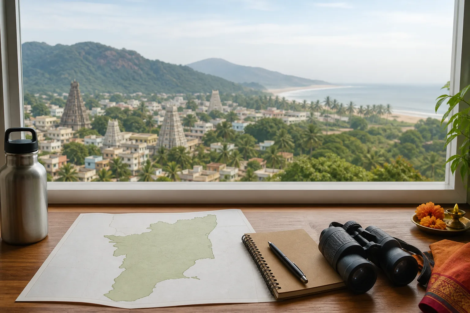
Tamil Nadu for First-Time Visitors: Choose a Base, Then a Direction
A base-first decision method for matching Chennai, Madurai, Coimbatore or Tiruchirappalli with one realistic outward direction.
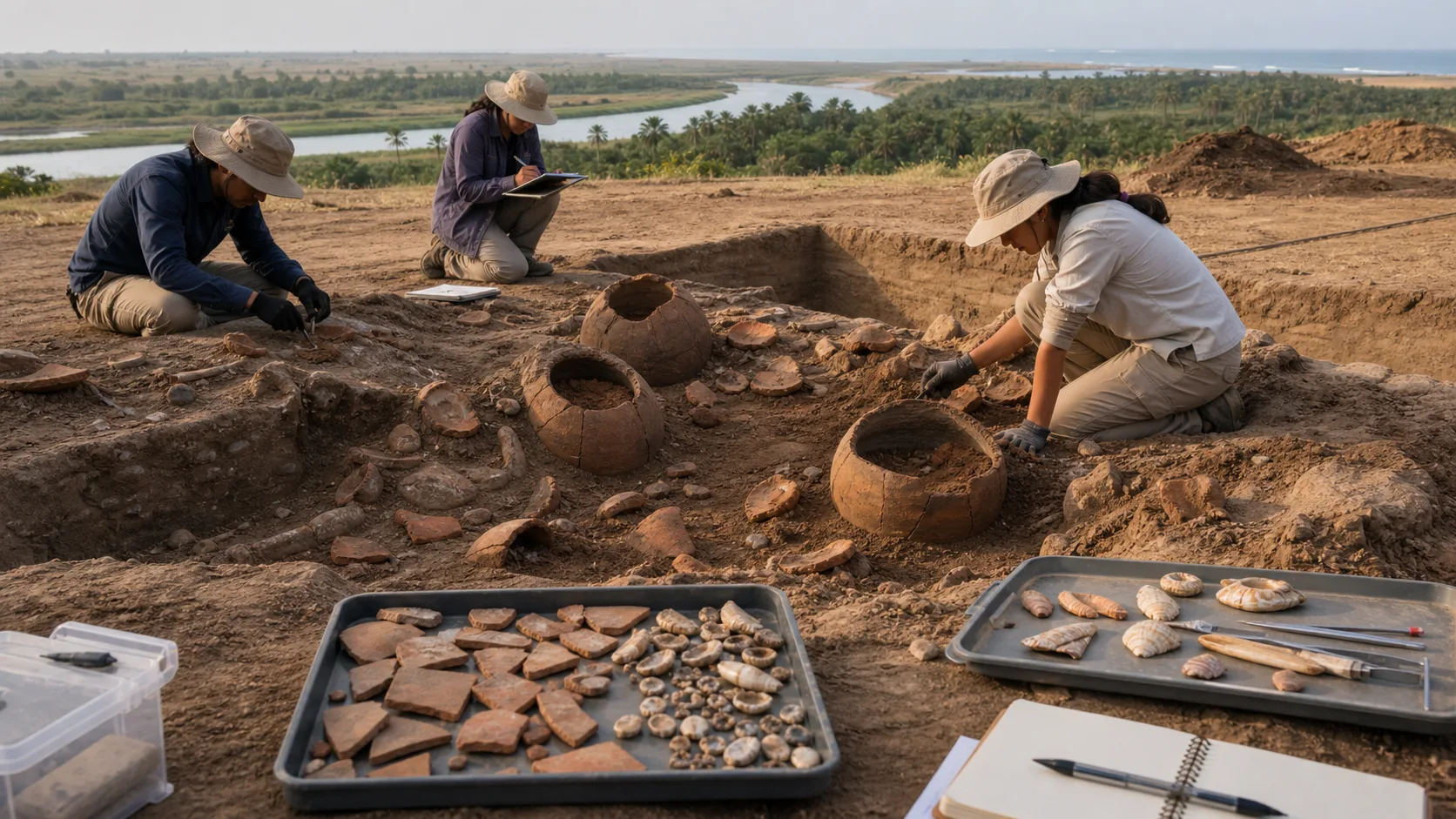
Adichanallur to Korkai: Reading the Tamiraparani Archaeology Landscape
An evidence-first guide to a river-to-coast archaeological landscape where burial, habitation, craft and maritime activity answer different questions.
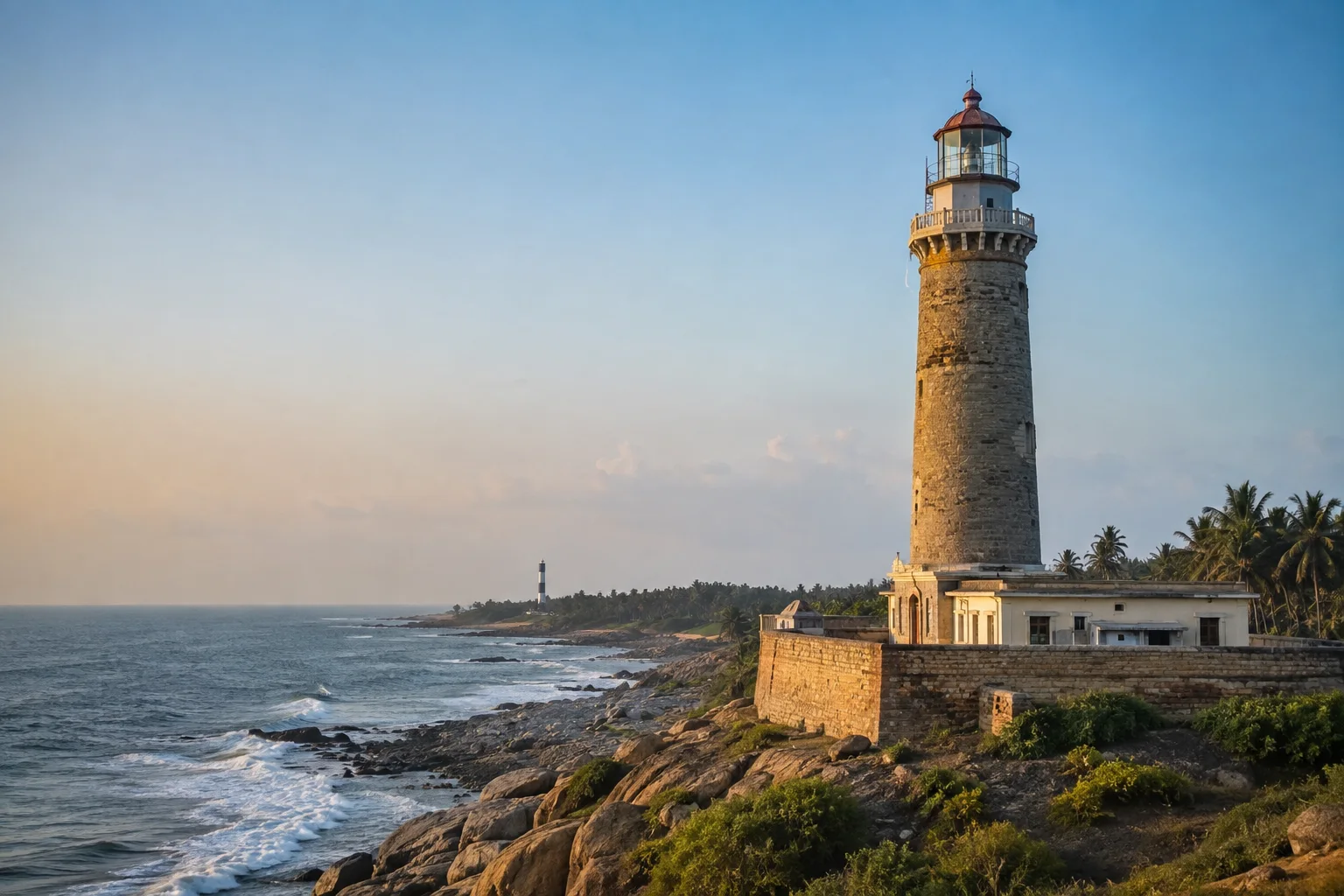
Tamil Nadu's Lighthouse Trail: Read the Coast Through Navigation
A coast-spanning guide to lighthouses as working navigation infrastructure, historical evidence and responsible places of maritime learning.
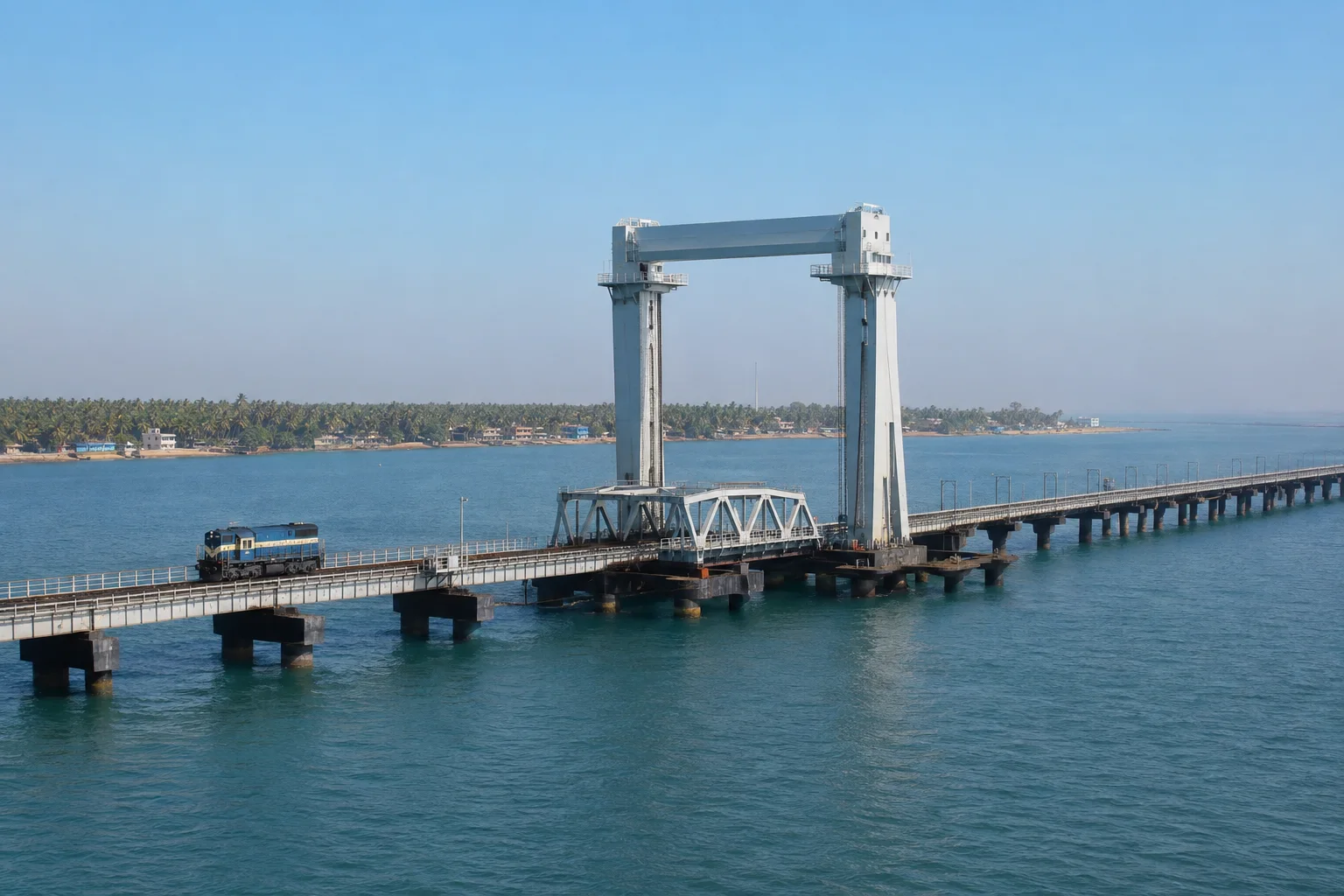
New Pamban Bridge: How a Vertical Lift Connects Rail and Sea
An engineering-first guide to the bridge that must serve trains, ships and a demanding marine environment without becoming a live timetable.
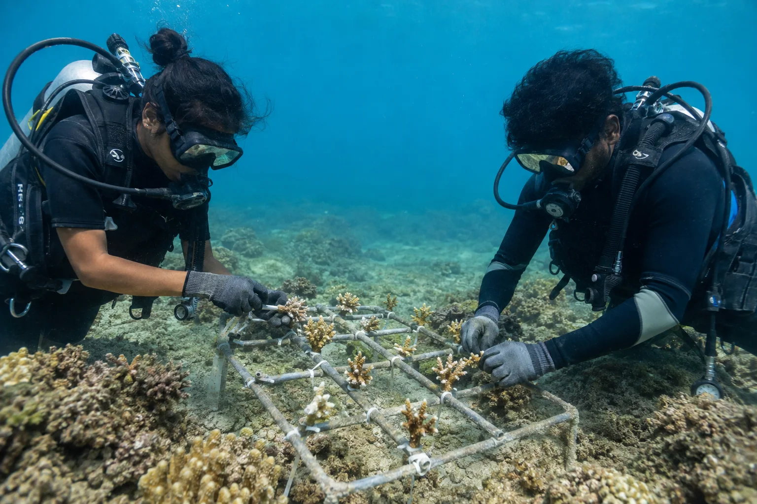
Coral Restoration in Tamil Nadu: What Repairing a Reef Really Means
A science-first guide to reef restoration, protected-area language, long-term monitoring and why intervention never replaces prevention.
Frequently asked questions
Is the Pamban Bridge a visitor attraction?
It is working transport infrastructure. View and photograph only from lawful public areas without stopping on bridges or entering railway land.
Can Dhanushkodi always be visited?
No. Weather, coastal conditions, road controls and administrative instructions can change access.
Does visiting Rameswaram mean entering the Marine National Park?
No. The island, geographic gulf, Marine National Park and Biosphere Reserve are related but distinct contexts with different boundaries and rules.
Editorial attribution
Prepared and reviewed by My Tamil Nadu Editorial Desk. Modified 25 August 2026.